Costa Rica Guide

travel information and maps

  • Vacation Planning
  • Best Trips Ever>>
  • More Fun Than Humanly Possible
  • Costa Rica
    • Top Ten
    • Best Time to Visit Costa Rica
    • Things To Do in Costa Rica
    • Maps
    • Transportation
      • Rental Cars
        • Advantages of Driving
        • Disadvantages Driving
        • Code of the Road
        • Navigation & Drive Time
        • Rental Insurance Explained
        • Can’t Get There
      • Airports
        • Flights Worth Taking
        • LIR or SJO
        • Airfare Deals
        • Domestic Airlines
        • Domestic Air Tips
      • Taxis
      • Bus Schedule
    • Food
      • Typical Menu
      • Batidos & Refrescos
      • Gallo Pinto
      • Tamales
      • Ceviche
      • Ensalada Palmito
      • Sopa Negra
      • Vinagre Chilera
    • Weather
      • Seasons in Costa Rica
      • Current Storms in Costa Rica
    • Regions
  • Nature & Wildlife
    • National Parks
    • Wildlife Refuges
    • Ecozones
    • Best Places to See Wildlife in Costa Rica
  • Practical Info
    • Health & Safety
      • Health Tips
        • Altitude Sickness
        • Chikungunya
        • Natural Disasters
      • Crime
        • Cons & Rip-offs
        • Corruption
        • Violent Crime
    • Will My Phone Work?
    • Packing List
    • Passports & Docs
    • Money – How To?
    • How Much Does it Cost?
    • Travel Tips
  • Stories
    • Photos
    • Trek Across Costa Rica
    • Sendero de Oro
    • Quebrada Gata
    • Bicycle Touring
    • About Us
  • Move to Costa Rica
  • Free Travel Pack
no obligation custom trip plan & price quote

1-866-816-0197

· Copyright © 2025 ·

Arenal National Park Photos

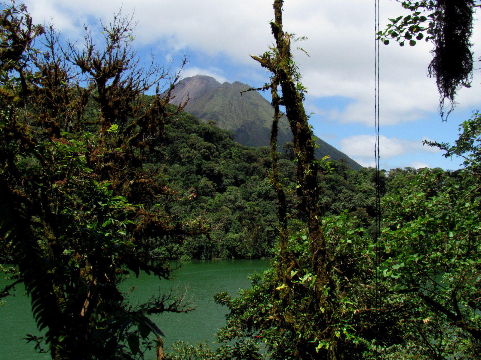
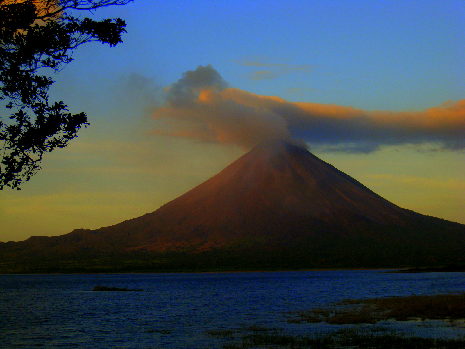
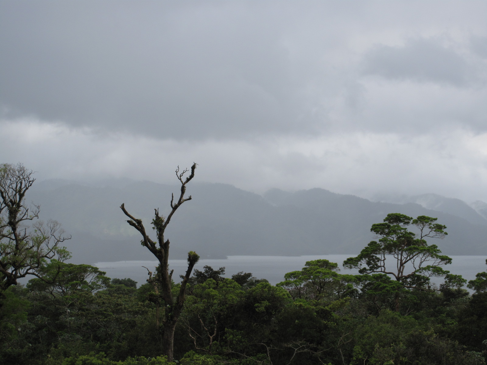
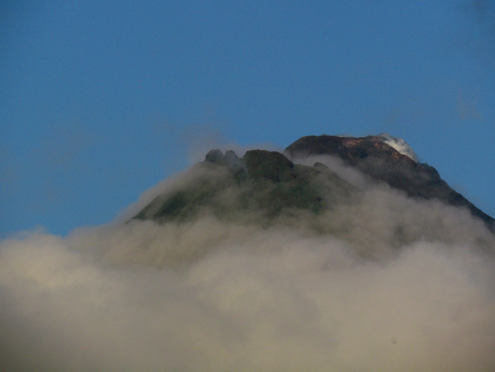
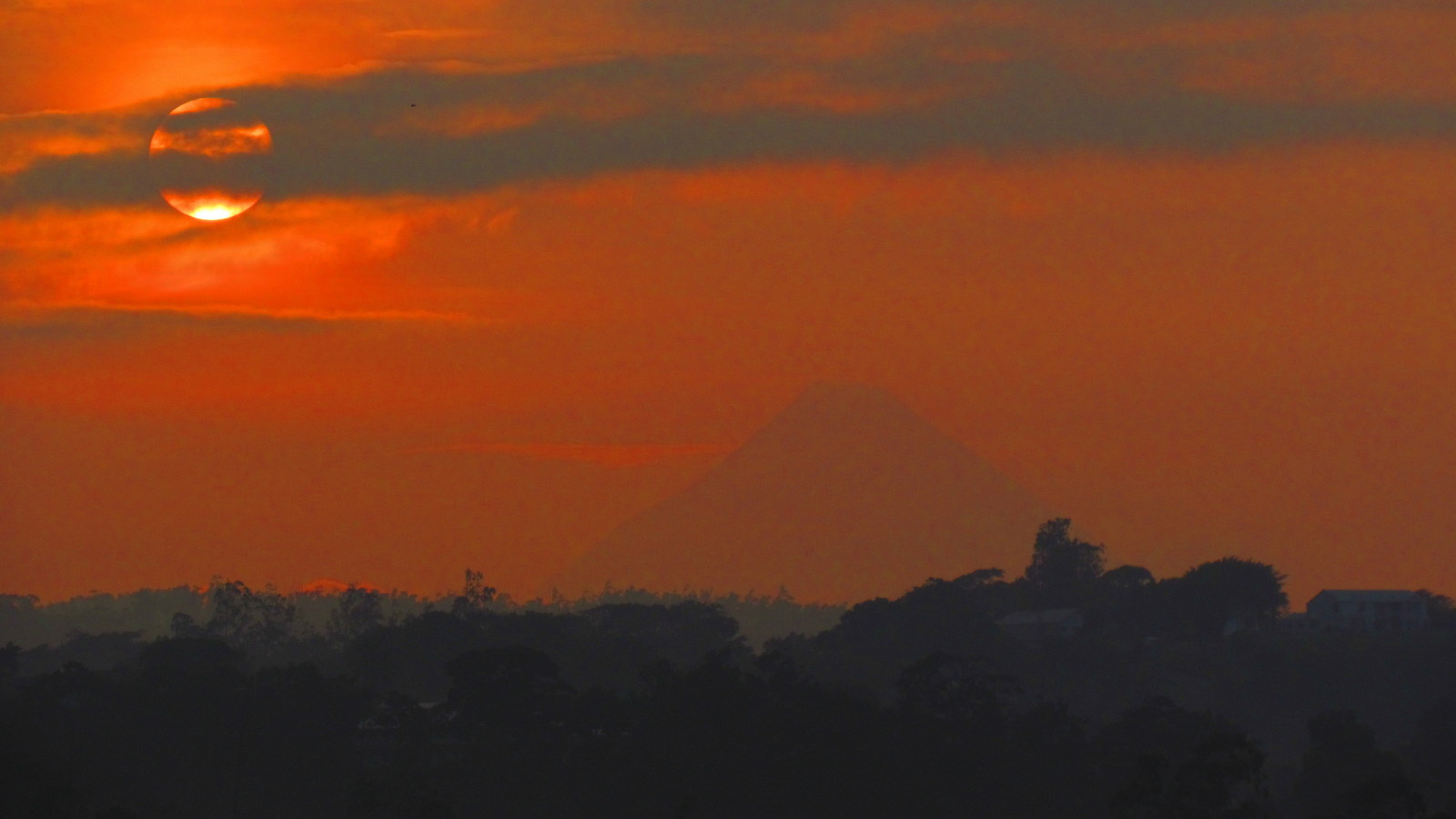
Arenal Volcano national park encompasses the impressive conical peak and surrounding lava fields as well as the extinct Cerro Chato and the lagoon in it’s crater.  There are a number of trails and it would be possible to hike from the ranger’s station on the northern flank around to the west then south past the Observatory Lodge up to the crater of Chato, around the rim and down to La Fortuna waterfall and the village.

Although we’ve hiked the segments we’ve never put it all together. Sometime when we want an all day expedition we’re going to give it a shot.

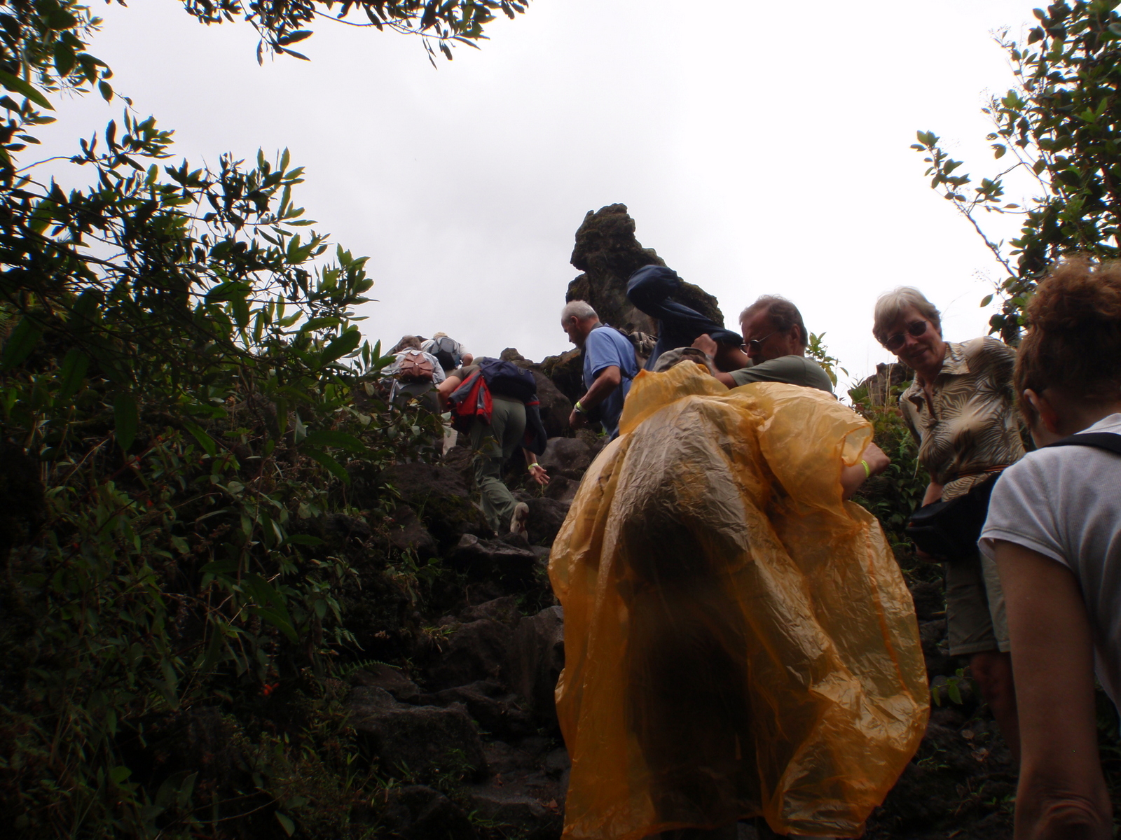
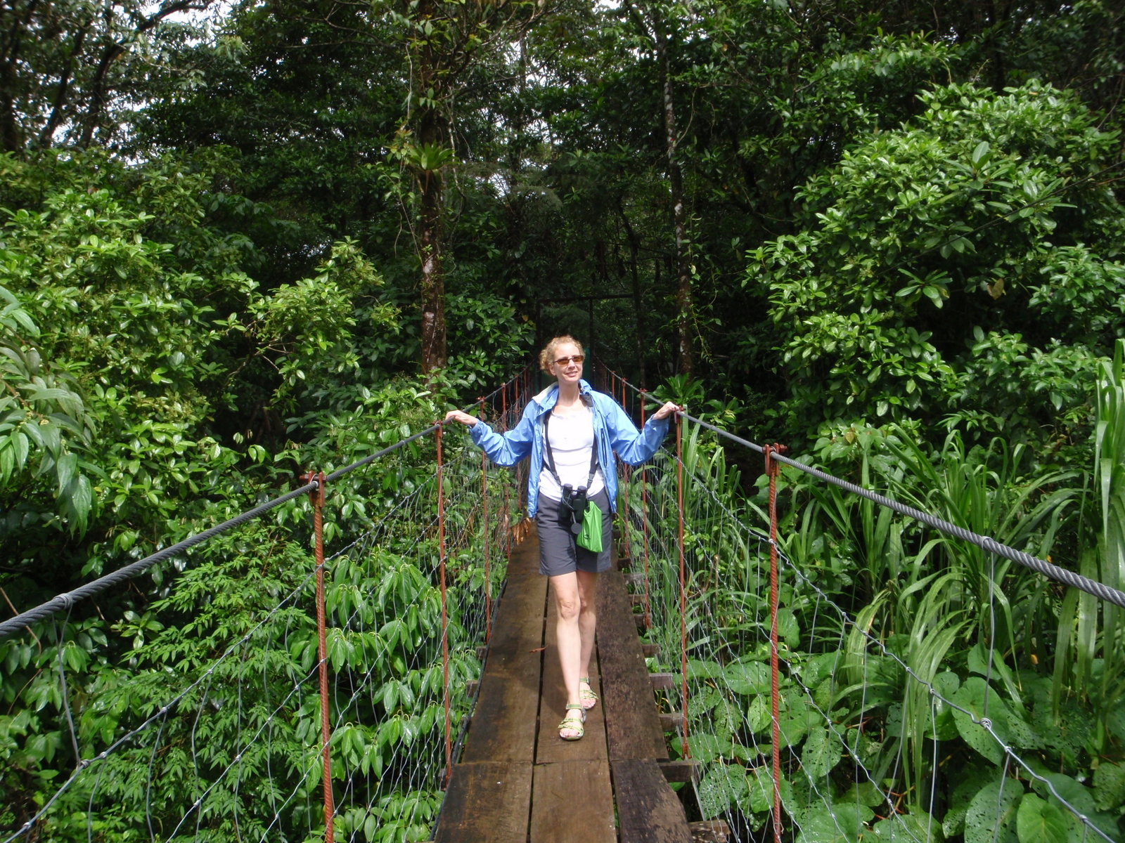
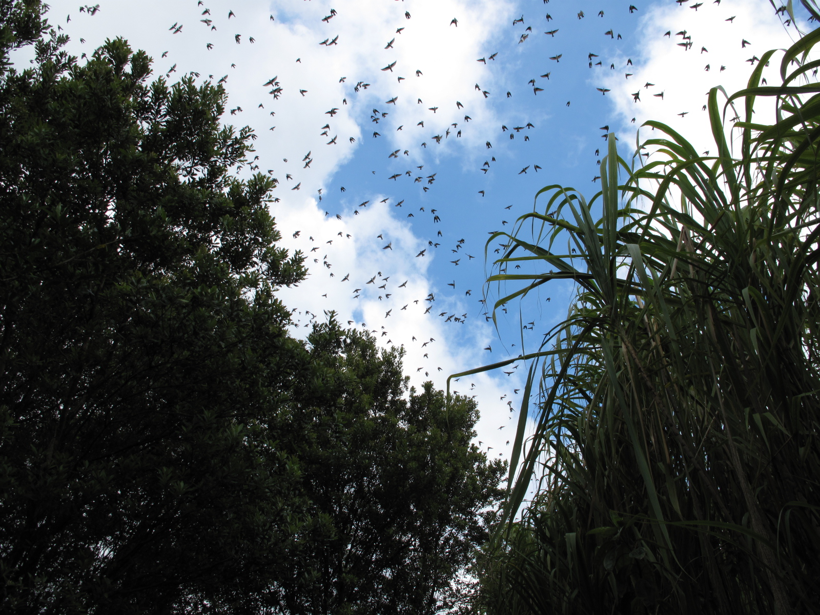
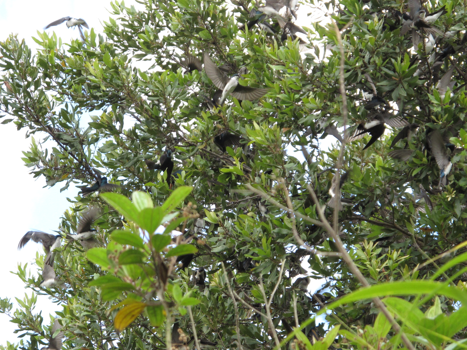
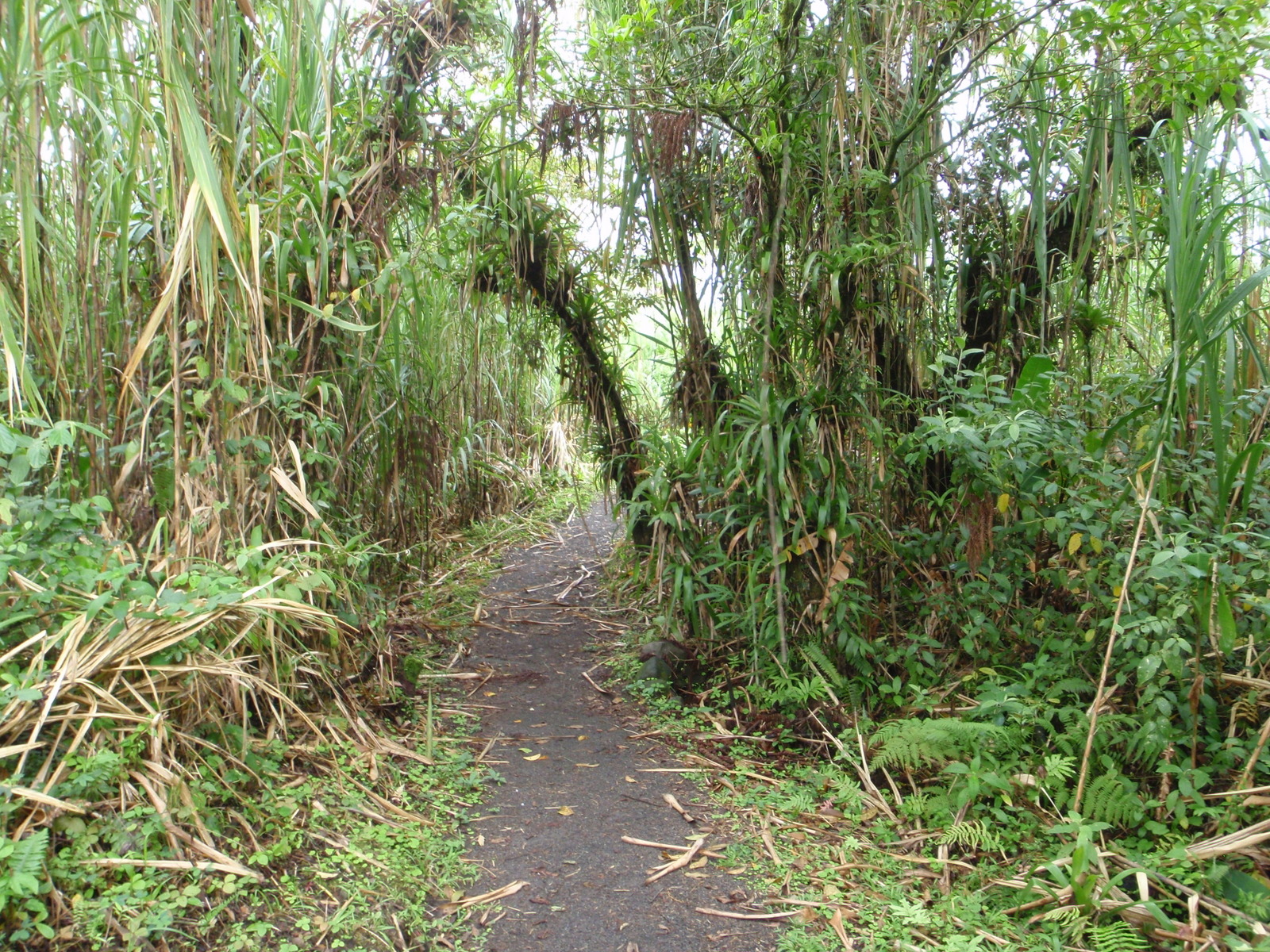
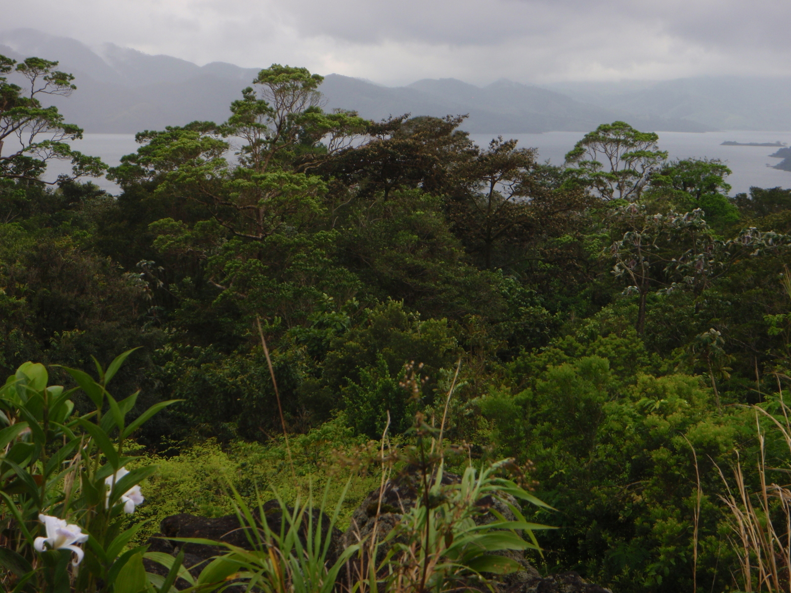
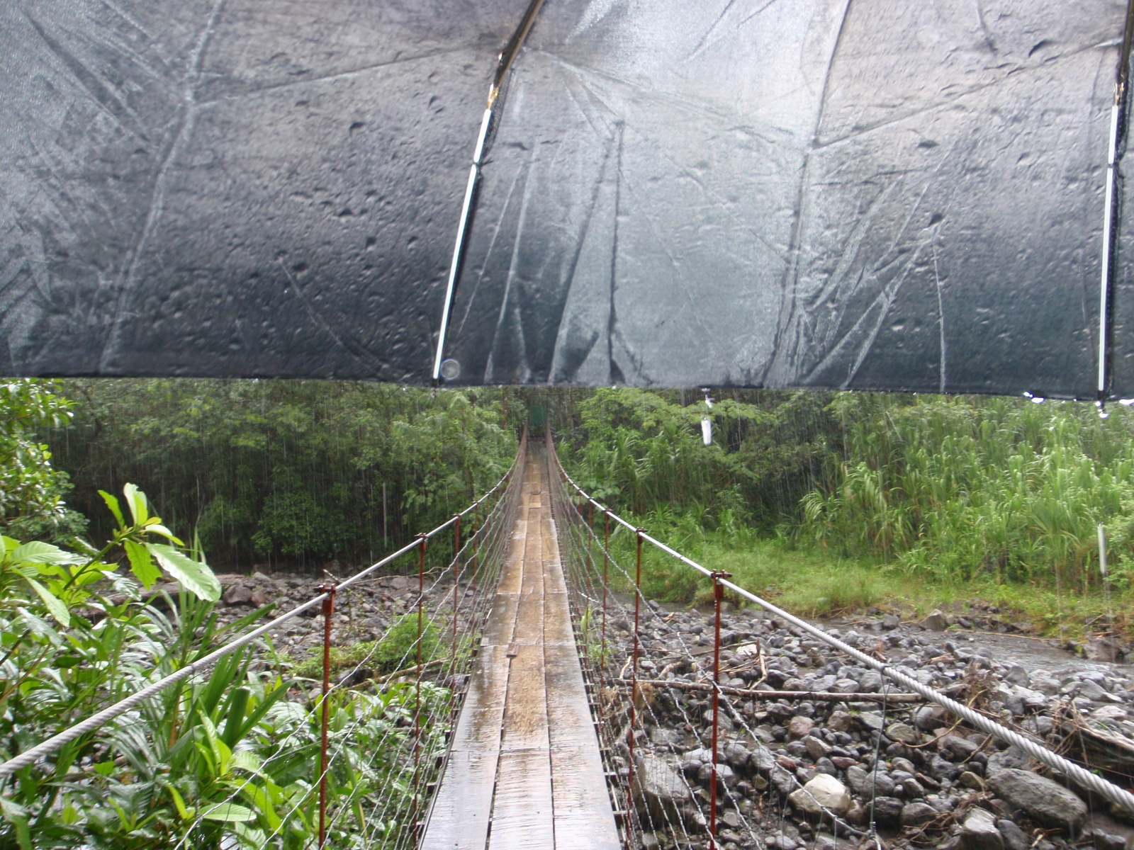
The trails from the ranger station are mostly through cane and across regenerating lava flows.  If you want to see the rainforests you’ll either need to continue all the way to the end and pick up the Tucanes trail (walking at first then easy to medium hiking) or start from Catarata Fortuna and climb the slopes of Cerro Chato to its crater where you get some of the best views of Arenal and can take a dip in the cool green lake a the top (steep and challenging but short hike).  The differences between walking and hiking are explained on this link.

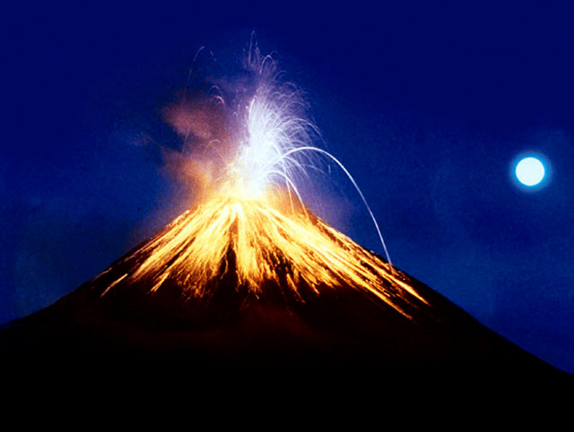
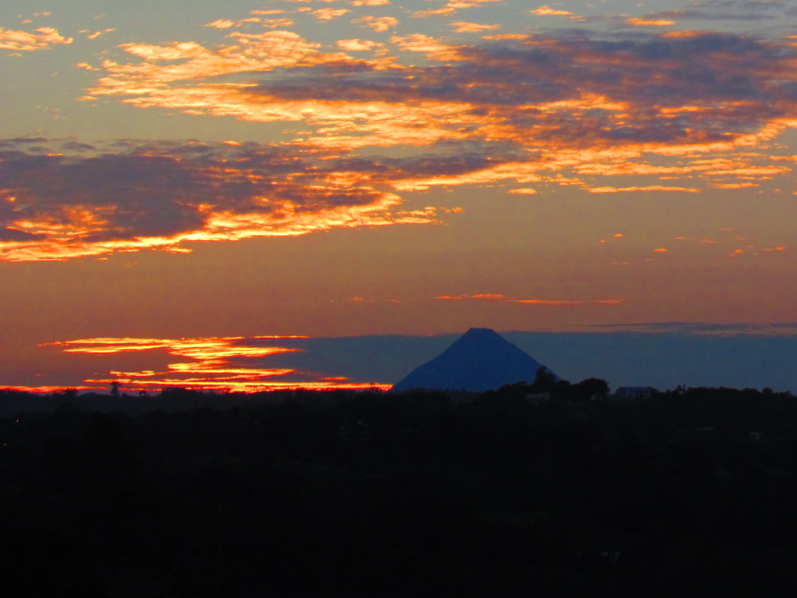
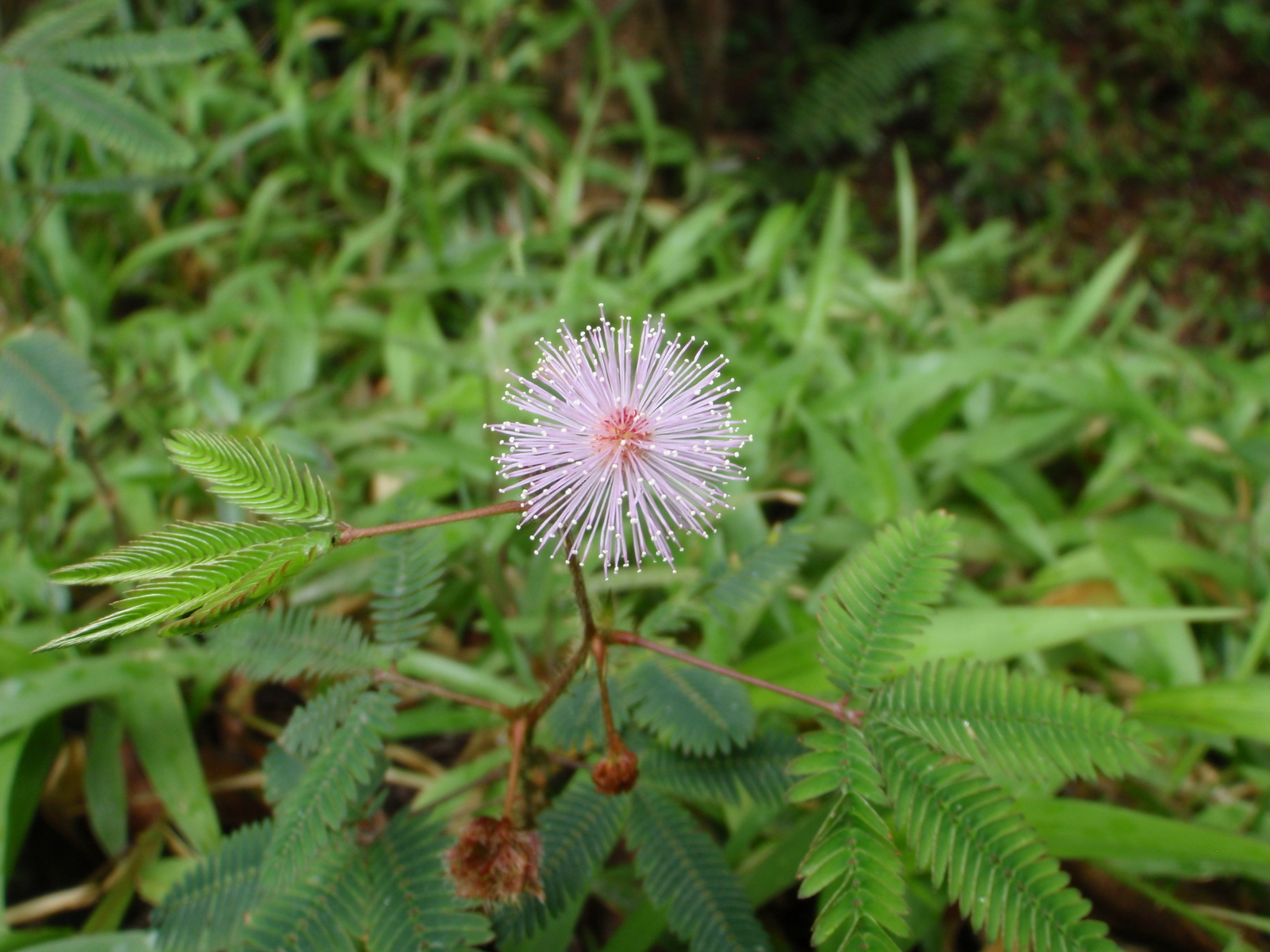
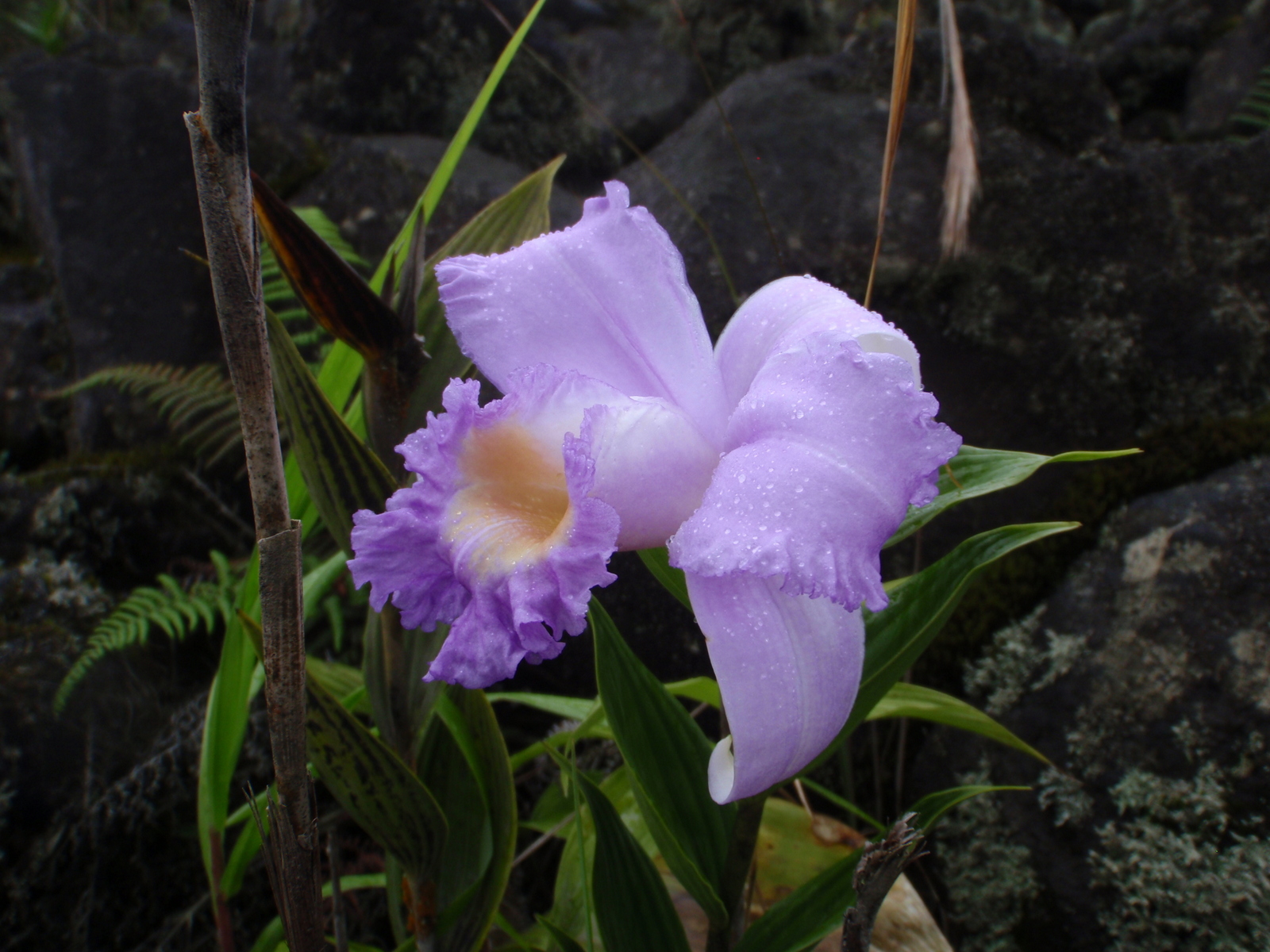
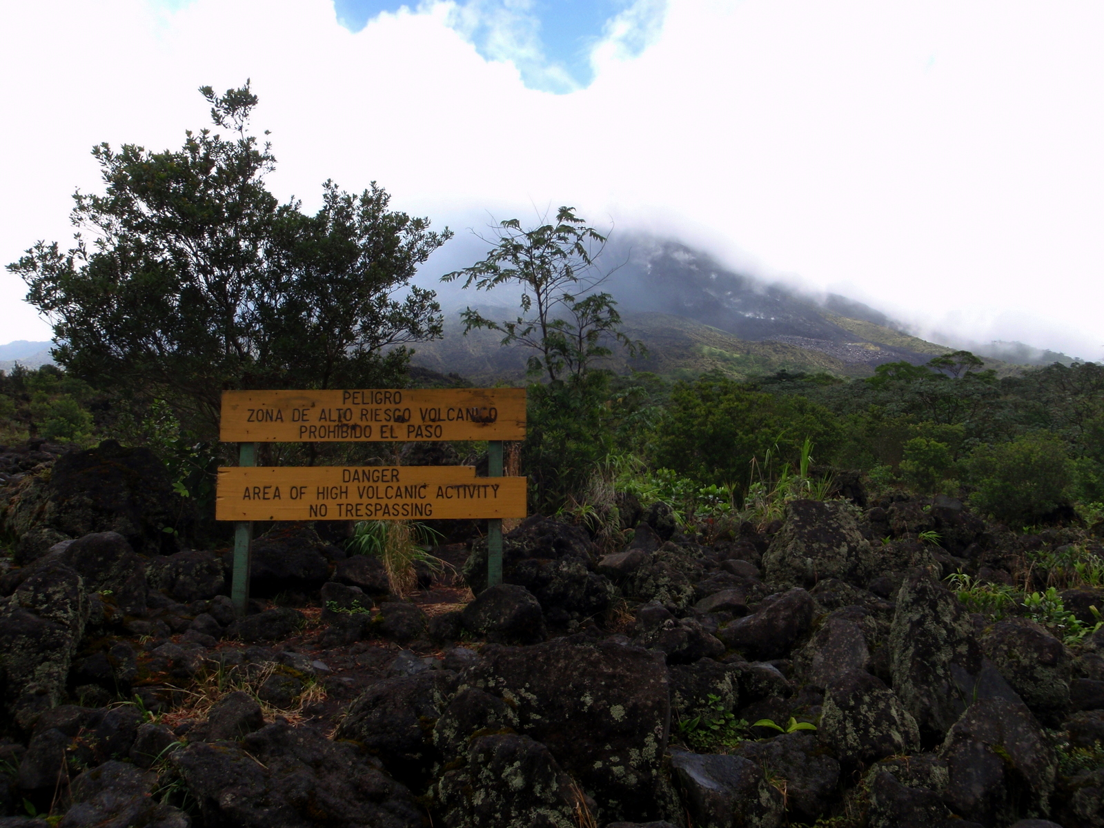
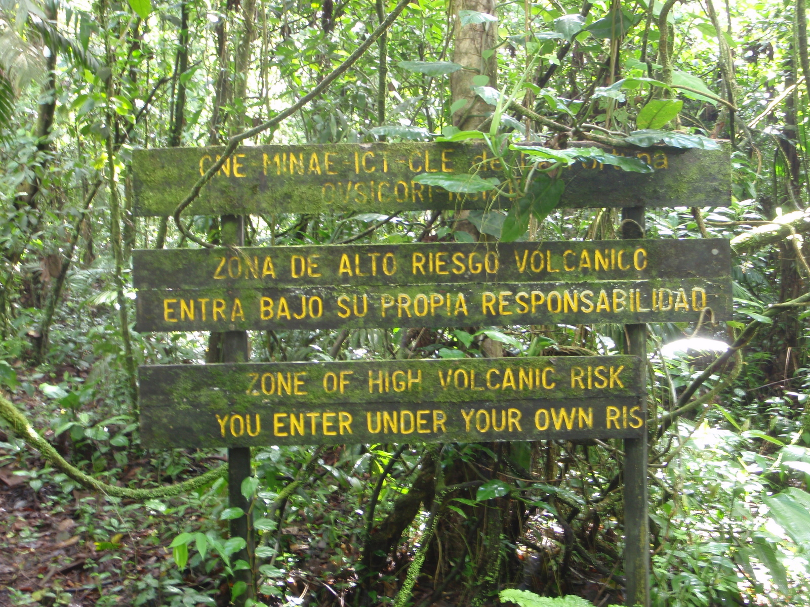
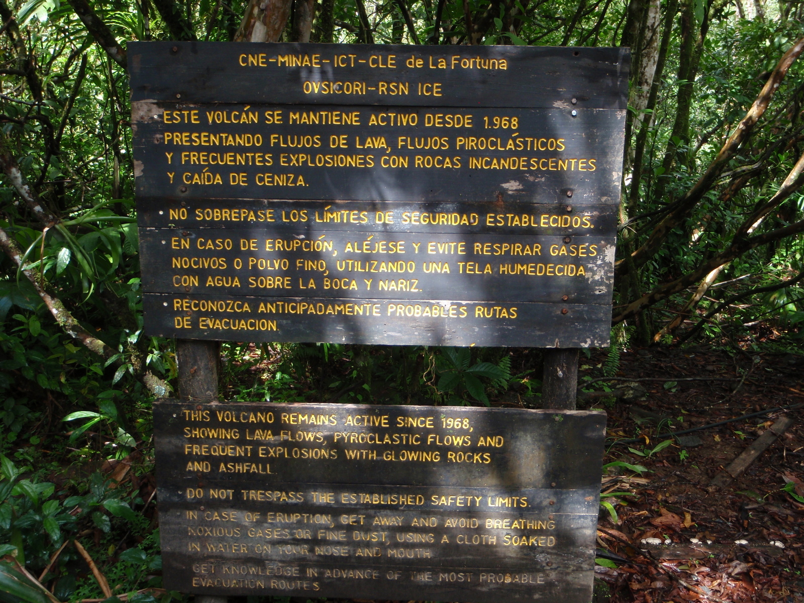
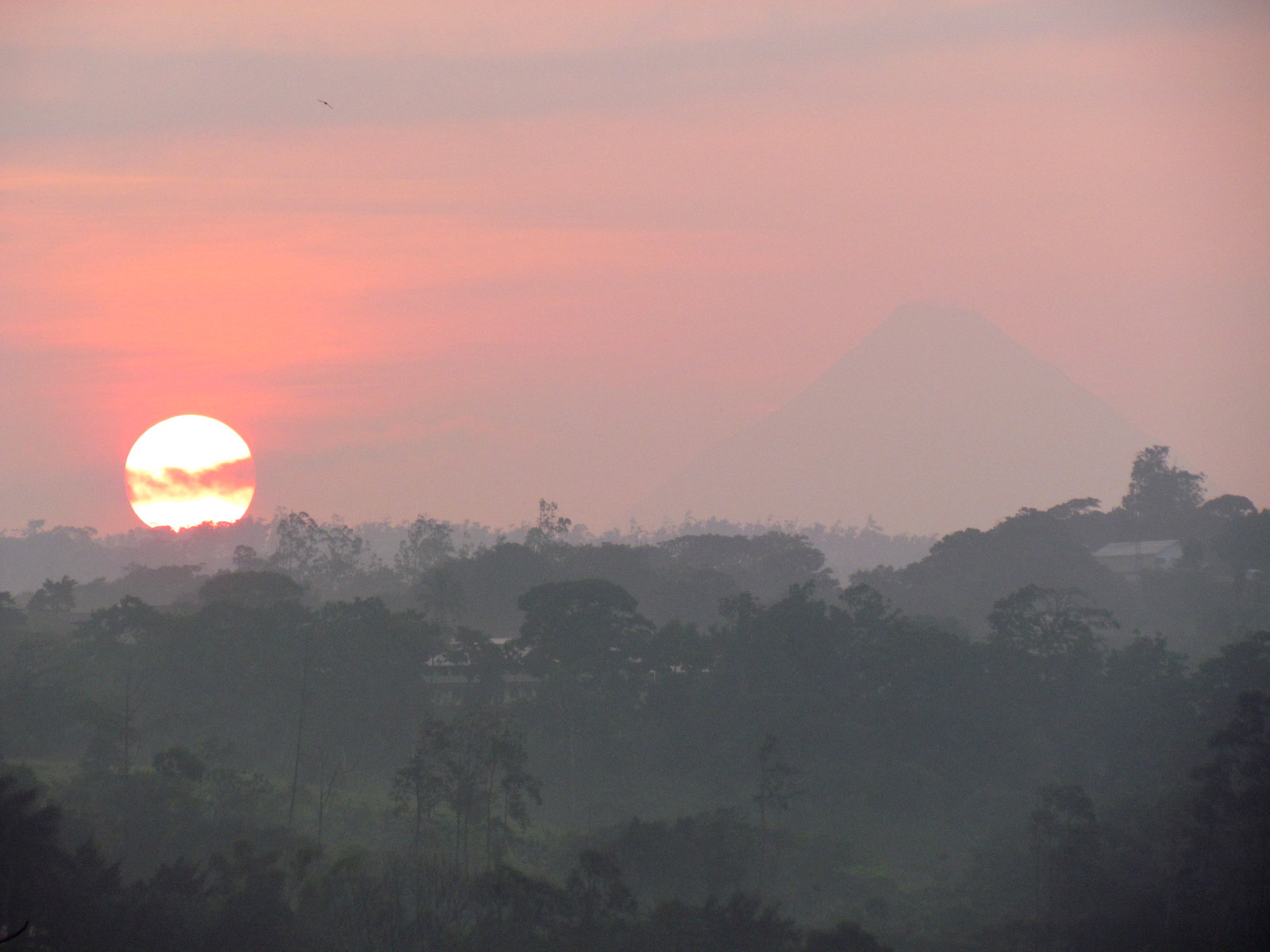
There are a few photos from the good old days with massive lava explosions but Arenal has been very quite for the last seven years or so and we’ve concentrated on photos of what you might see if you visited today.

Arenal Volcano across the lake
Arenal volcano rises above the rainforest surrounding the rim of the crater of Cerro Chato
Lago Chato – Arenal volcano rises above the rainforest surrounding the rim of the crater of Cerro Chato – early in 2017 the trail to the crater of Chato was closed because some guides were using it to access the back side of Arenal and the crater which is off limits.
Arenal Erupts under a full moon. Views like this come along every few years...but recently (2010-2015) the volcano has been very quiet
Arenal Erupts under a full moon. Views like this come along every few years…but recently (2010-2017) the volcano has been very quiet
Tour Group climbing onto the lava flow on the Sendero Coladas.
Sunset glow reflecting on Arenal volcano across the lake
Lago Arenal mist
Lago Arenal in the mist. View back towards the lake as a storm moves in – from Sendero Coladas Arenal Volcano National Park
Bridge on the Sendero Tucanes
Bridge on the Sendero Tucanes on the southern edge of Arenal Volcano National Park
Another kind of seed parachute
Seed parachute
1992 lava flow-
1992 lava flow-Arenal Volcano
Arenal Sunrise
Arenal Sunrise
These swallows were part of a flock of about a thousand that slalomed through the cane clearing out the insects along Sendero Coladas Arenal Volcano National Park
These swallows were part of a flock of about a thousand that slalomed through the cane clearing out the insects along Sendero Coladas
Swallows
Swallows in the regenerating forest on one of the lower lava fields
Arenal volcano skirted with clouds at sunrise
Silver-throated Tanager (Tangara icterocephala)
Arenal Clear view
One minute the volcano can be completely obscured but a few minutes later the top can be clear
Arenal volcano puffs smoke
Arenal volcano puffs smoke – Some resorts and spas are built within the evacuation zone of Arenal volcano but it’s been quiet recently
cane trail
The lower part of the trail is through tall cane that blocks the views of the volcano
Sensitive plant (Mimosa pudica)
Sensitive plant (Mimosa pudica) is found throughout the tropics of the world as an invasive species, but is actually native to Costa Rica and Central America. It’s called the sensitive plant because touching it triggers a release of water from the stem cells that causes a drop in pressure and the leaves fold up (seismonastic movement). Along sendero Coladas
Sunrise over Arenal Volcano
Sunrise over Arenal Volcano…or is that Mount Kilimanjaro?
Orchid - Sendero Coladas Arenal Volcano National Park
Orchid
Regeneration on Lava flow
This lava flow from the early nineties has started to regenerate
Lake Arenal from Sendero Coladas Arenal Volcano National Park
Lake Arenal
Elusive Volcano
Arenal Volcano can be elusive. The peak may well be in bright sunshine as evidenced by the blue sky, but the low lying clouds are blocking the view
Official end of the trail
Official end of the trail – Sendero Coladas Arenal Volcano National Park
Sendero Tucanes
Sendero Tucanes is an extension of Sendero Colada along the southern boundary of the “safe” zone that the National Park trail follows. Back when the volcano was erupting it was a popular destination for tour groups at night.
Welcome to Arenal volcano National Park
Sendero Tucanes rain
Sendero Tucanes from under an umbrella on another day – no volcano viewing today
Sunrise Arenal
Sunrise behind Arenal feels like India this morning
Just the tail of a great curassow
Just the tail of a great curassow (Crax rubra) disappearing into the underbrush. This is how ninety percent of my bird photos turn out!
Arenal really raging back in 2003

Ray & Sue

Cost · ToDo · Plan·Costa Rica Guide logo animated·Top10 · Best Time · Contact


toll free Costa Rica travel desk!
1-866-816-0197

CONTACT US

Costa Rica National Park Photos

Costa Rica National Park Photos
  • Tortuguero Beach – National Park & Sea Turtles Nesting
  • Tortuguero Village & Canals Photos
  • Savegre National Park
  • La Cangreja National Park Photos
  • Carara National Park Photos
  • Irazu Volcano Photos
  • Tenorio Volcano Photos
  • Tortuguero Photos
  • Turrialba Volcano Photos
  • Arenal National Park Photos


Costa Rica Guide on facebook
Costa Rica Guide on Facebook