Costa Rica Guide

travel information and maps

  • Vacation Planning
  • Best Trips Ever>>
  • More Fun Than Humanly Possible
  • Costa Rica
    • Top Ten
    • Best Time to Visit Costa Rica
    • Things To Do in Costa Rica
    • Maps
    • Transportation
      • Rental Cars
        • Advantages of Driving
        • Disadvantages Driving
        • Code of the Road
        • Navigation & Drive Time
        • Rental Insurance Explained
        • Can’t Get There
      • Airports
        • Flights Worth Taking
        • LIR or SJO
        • Airfare Deals
        • Domestic Airlines
        • Domestic Air Tips
      • Taxis
      • Bus Schedule
    • Food
      • Typical Menu
      • Batidos & Refrescos
      • Gallo Pinto
      • Tamales
      • Ceviche
      • Ensalada Palmito
      • Sopa Negra
      • Vinagre Chilera
    • Weather
      • Seasons in Costa Rica
      • Current Storms in Costa Rica
    • Regions
  • Nature & Wildlife
    • National Parks
    • Wildlife Refuges
    • Ecozones
    • Best Places to See Wildlife in Costa Rica
  • Practical Info
    • Health & Safety
      • Health Tips
        • Altitude Sickness
        • Chikungunya
        • Natural Disasters
      • Crime
        • Cons & Rip-offs
        • Corruption
        • Violent Crime
    • Will My Phone Work?
    • Packing List
    • Passports & Docs
    • Money – How To?
    • How Much Does it Cost?
    • Travel Tips
  • Stories
    • Photos
    • Trek Across Costa Rica
    • Sendero de Oro
    • Quebrada Gata
    • Bicycle Touring
    • About Us
  • Move to Costa Rica
  • Free Travel Pack
no obligation custom trip plan & price quote

1-866-816-0197

· Copyright © 2023 ·

Irazu Volcano Photos

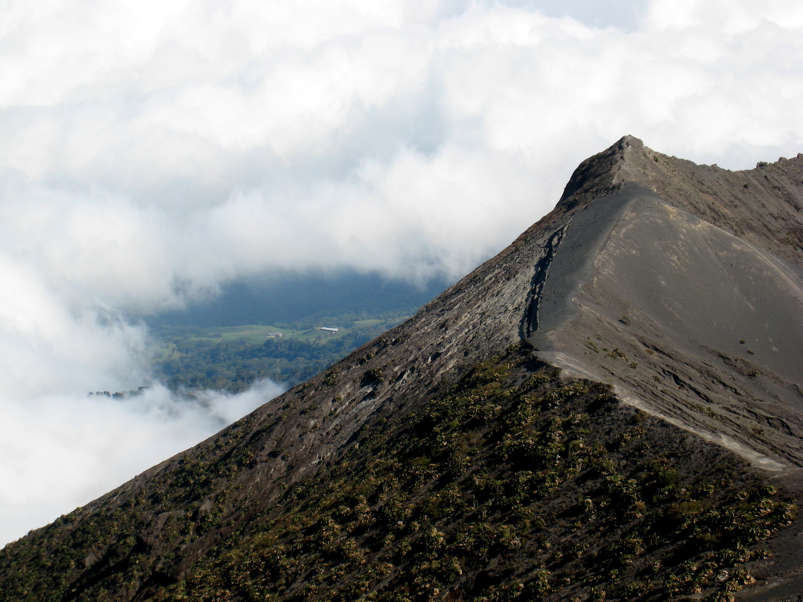
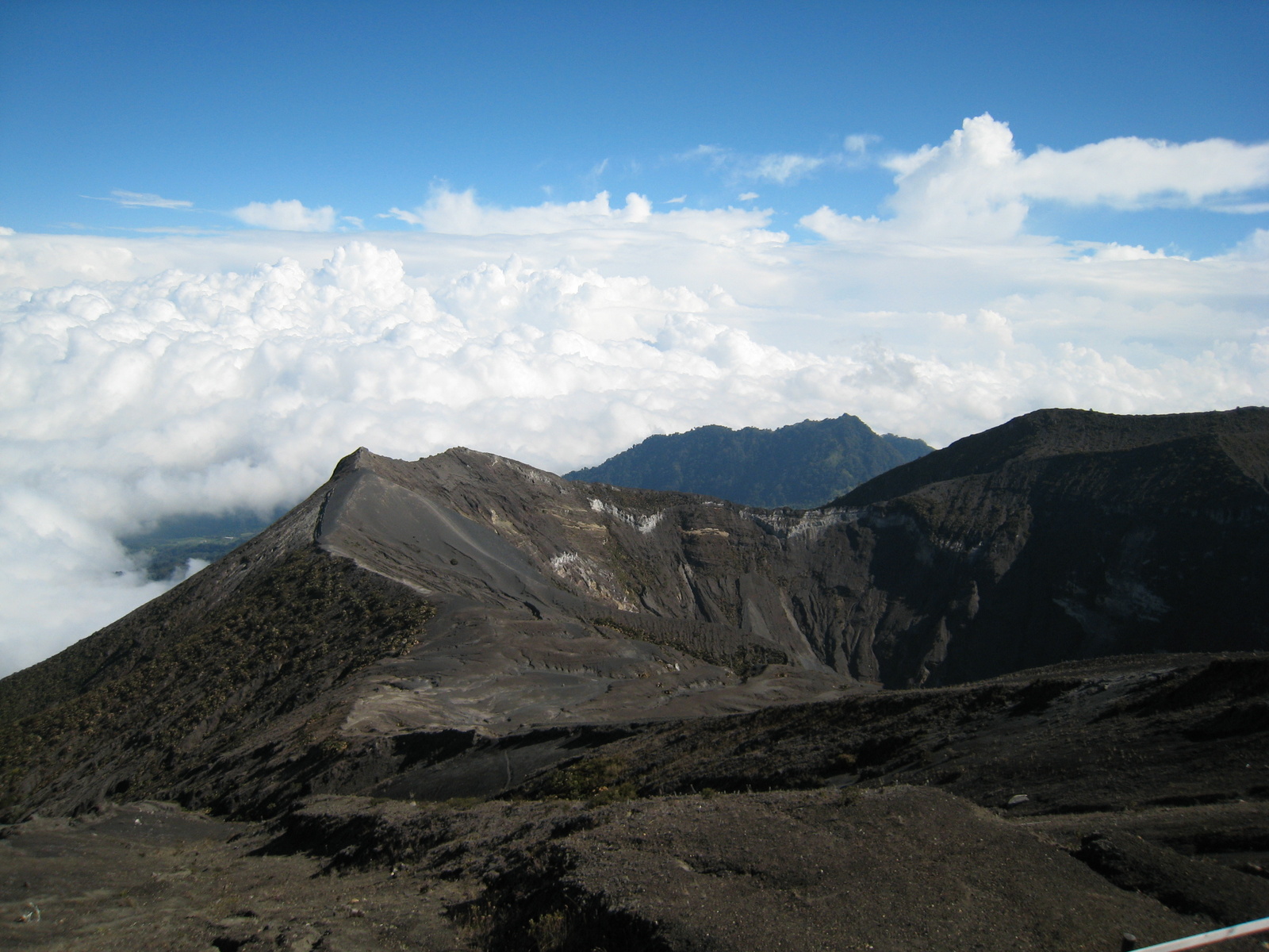
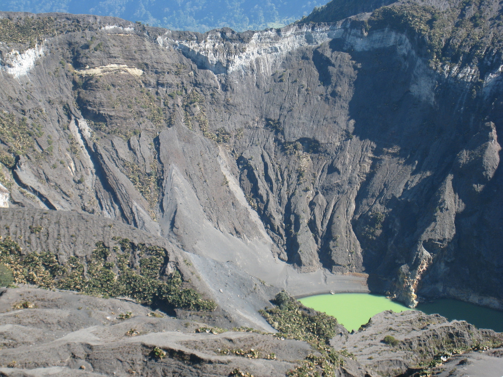
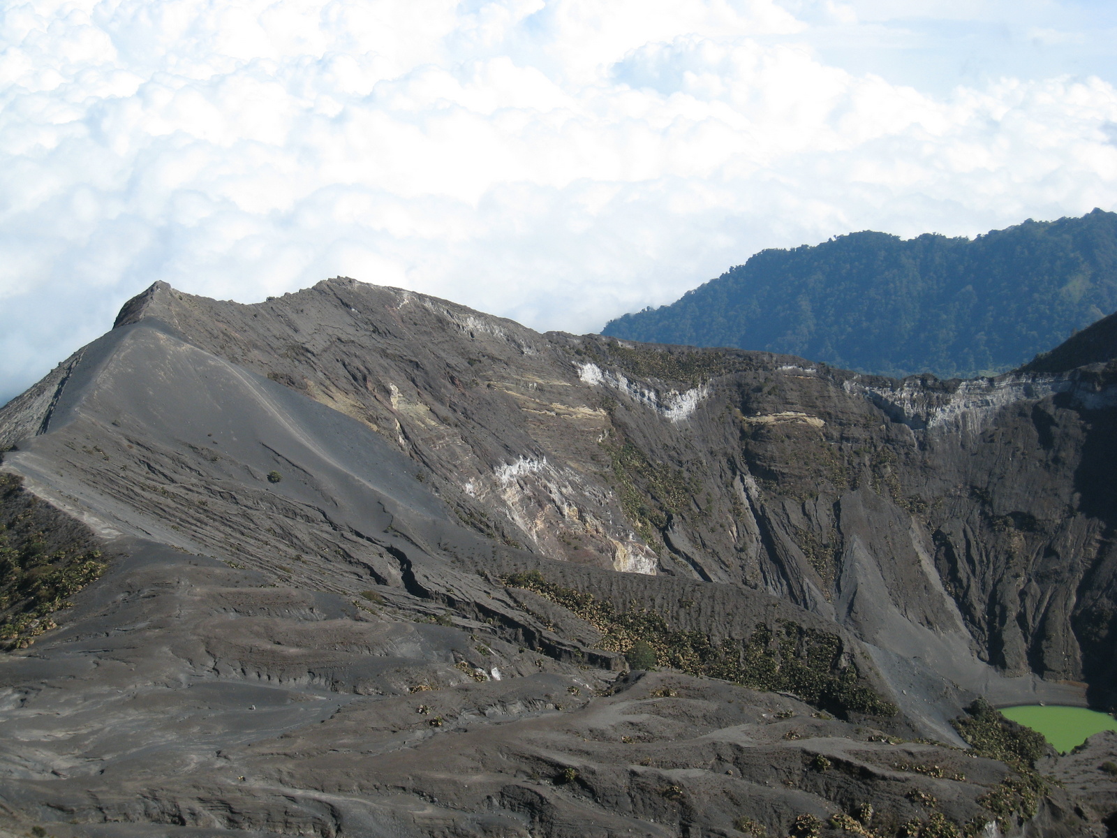
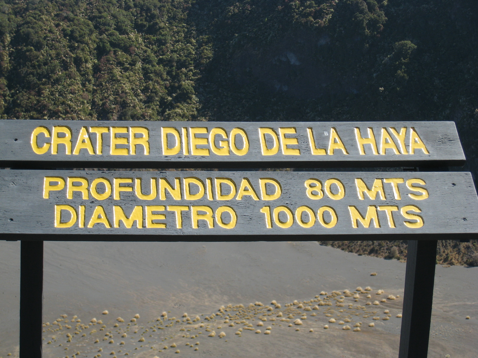
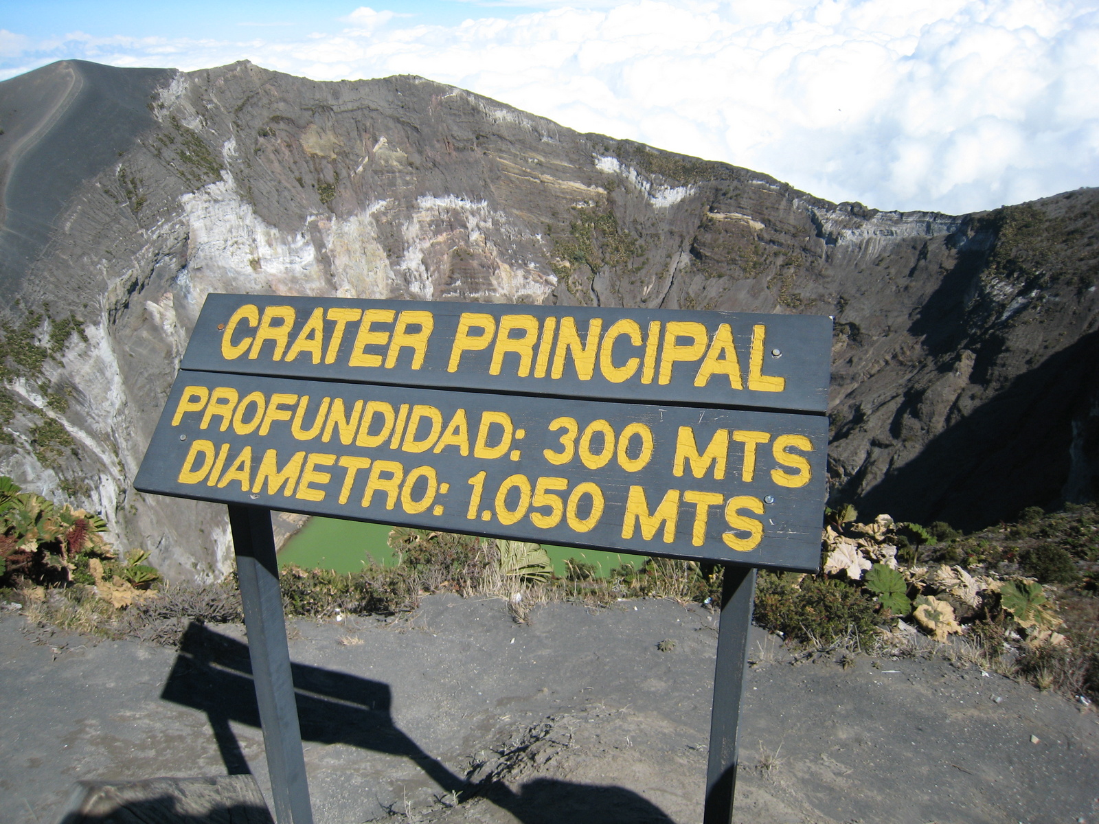
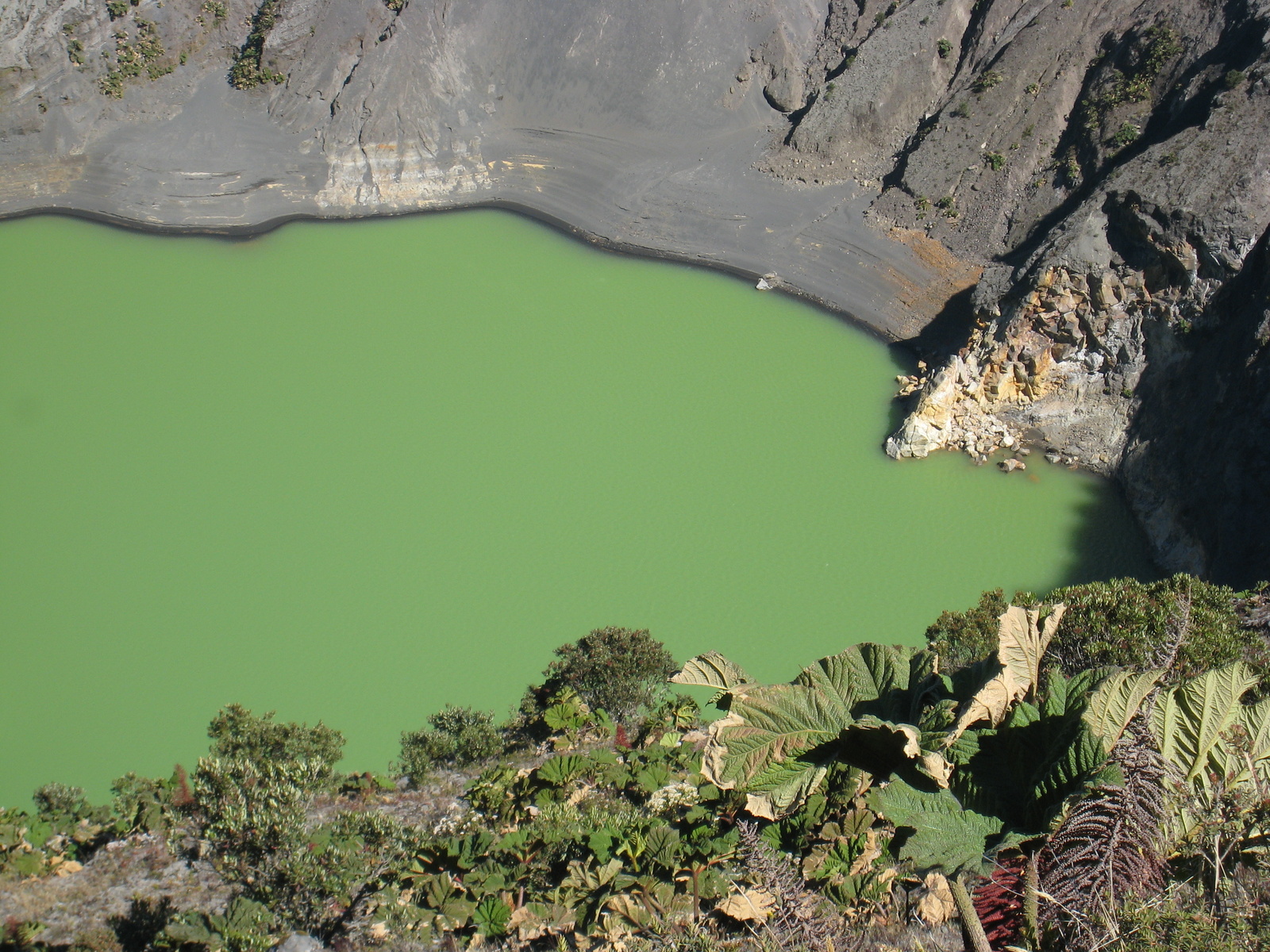
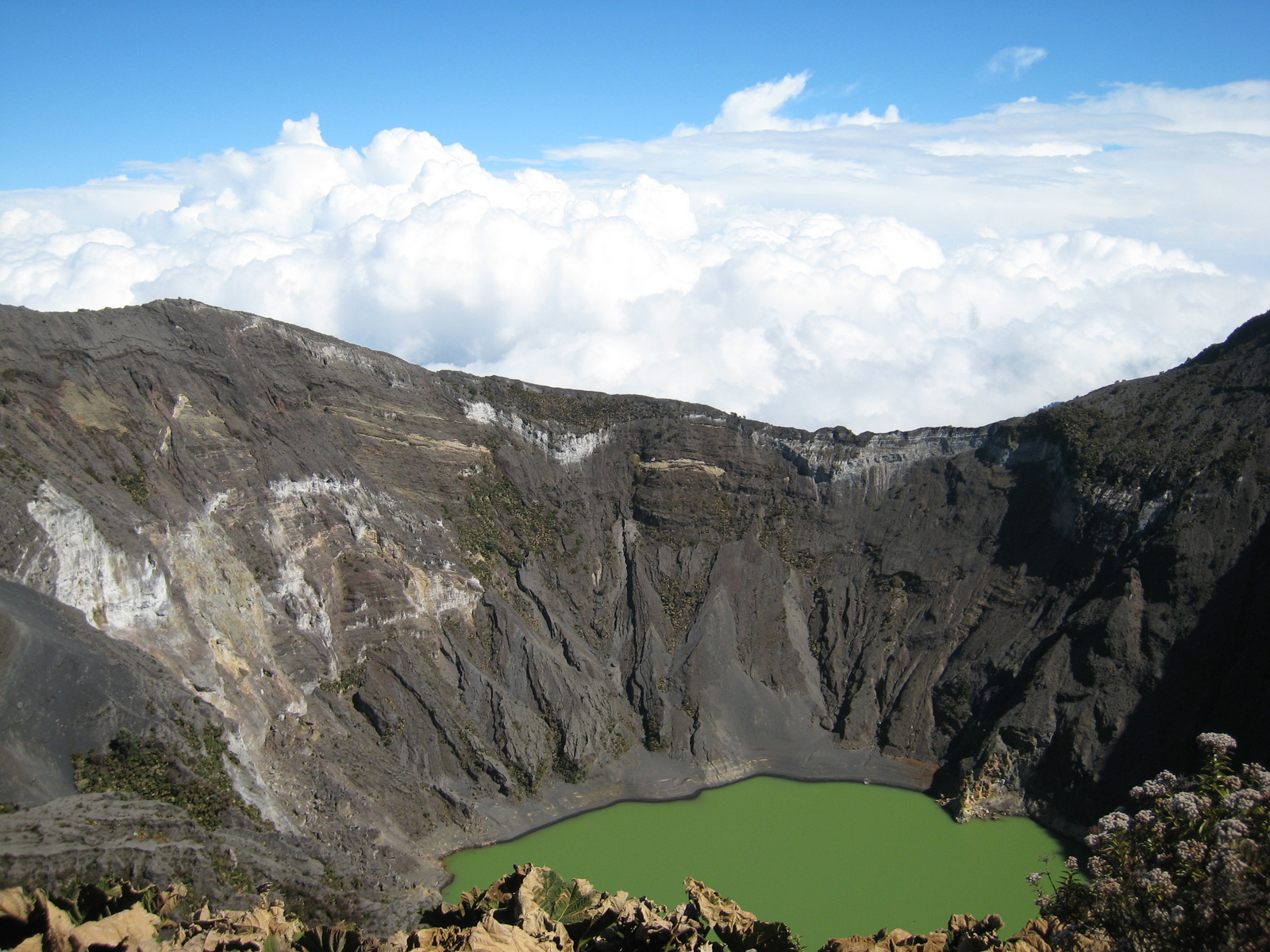
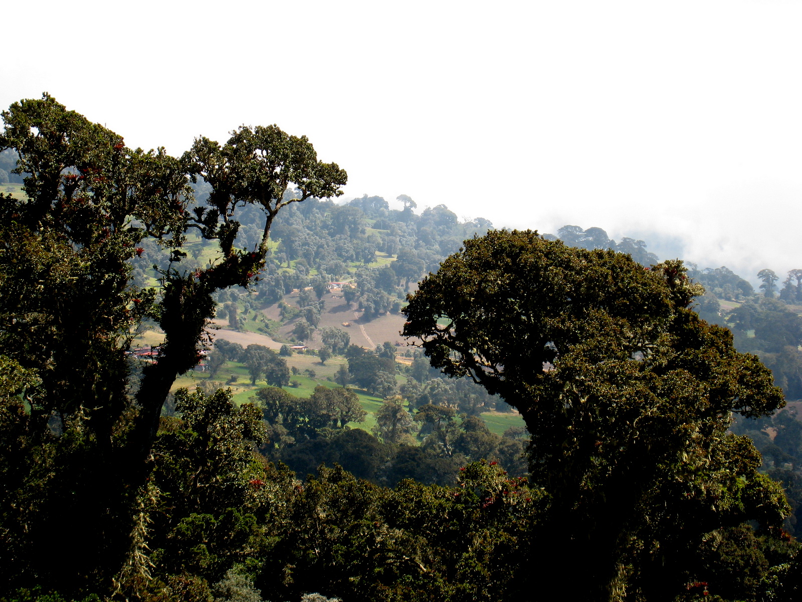
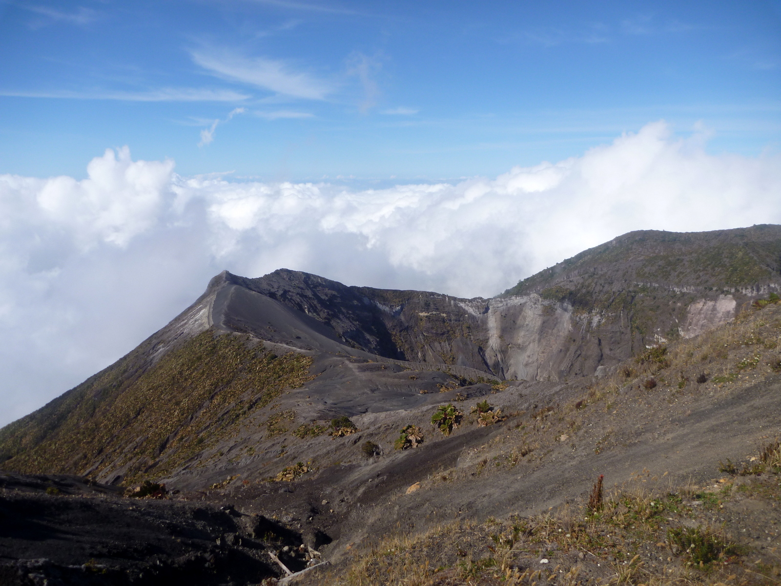
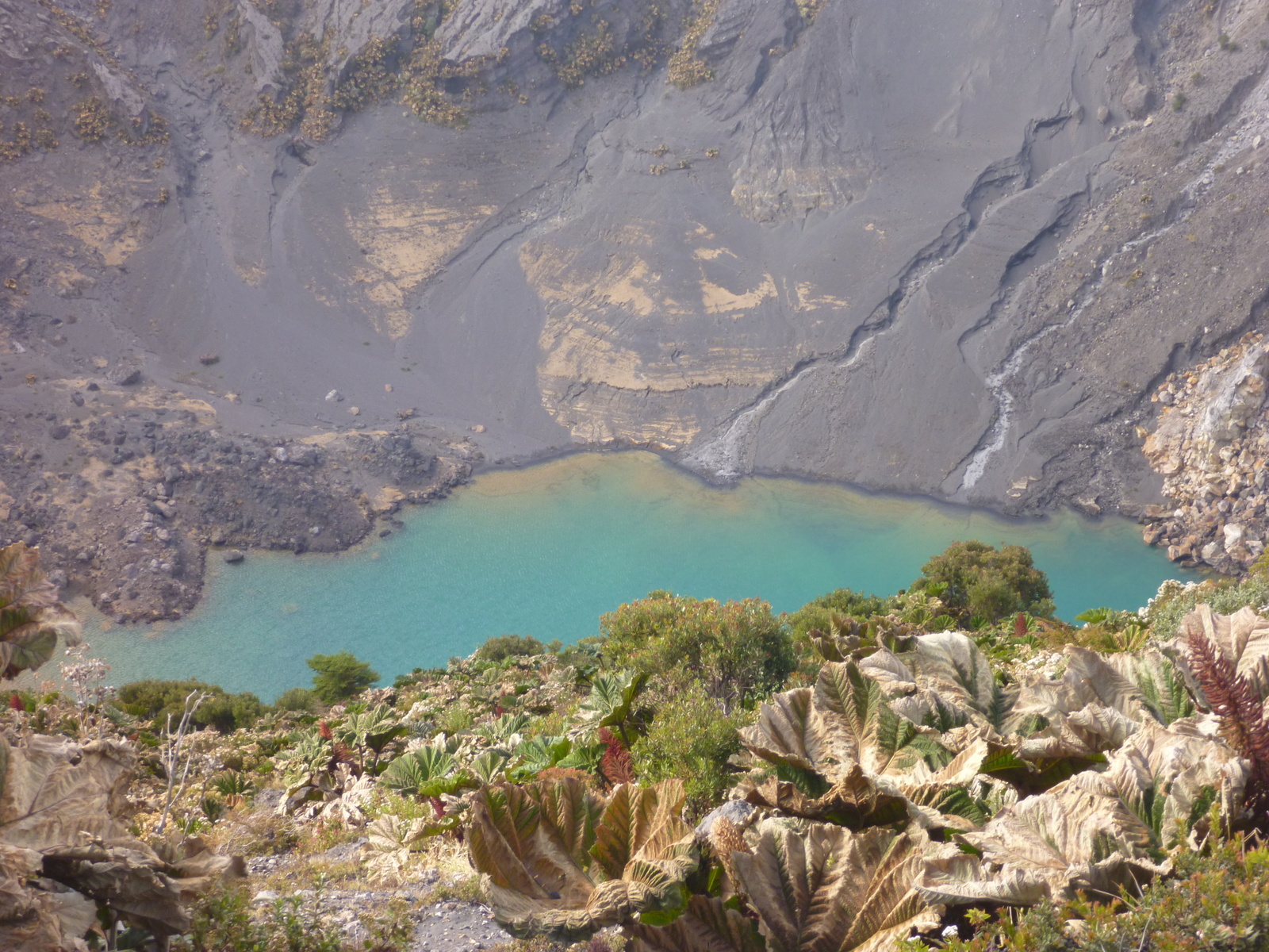
Irazú Volcano National Park is one of Costa Rica’s most popular because of it’s proximity to San José and the good paved road all the way to the crater.  From the top the views into the emerald and turquoise lakes of the main crater and across the mountains and lowlands are equally spectacular.

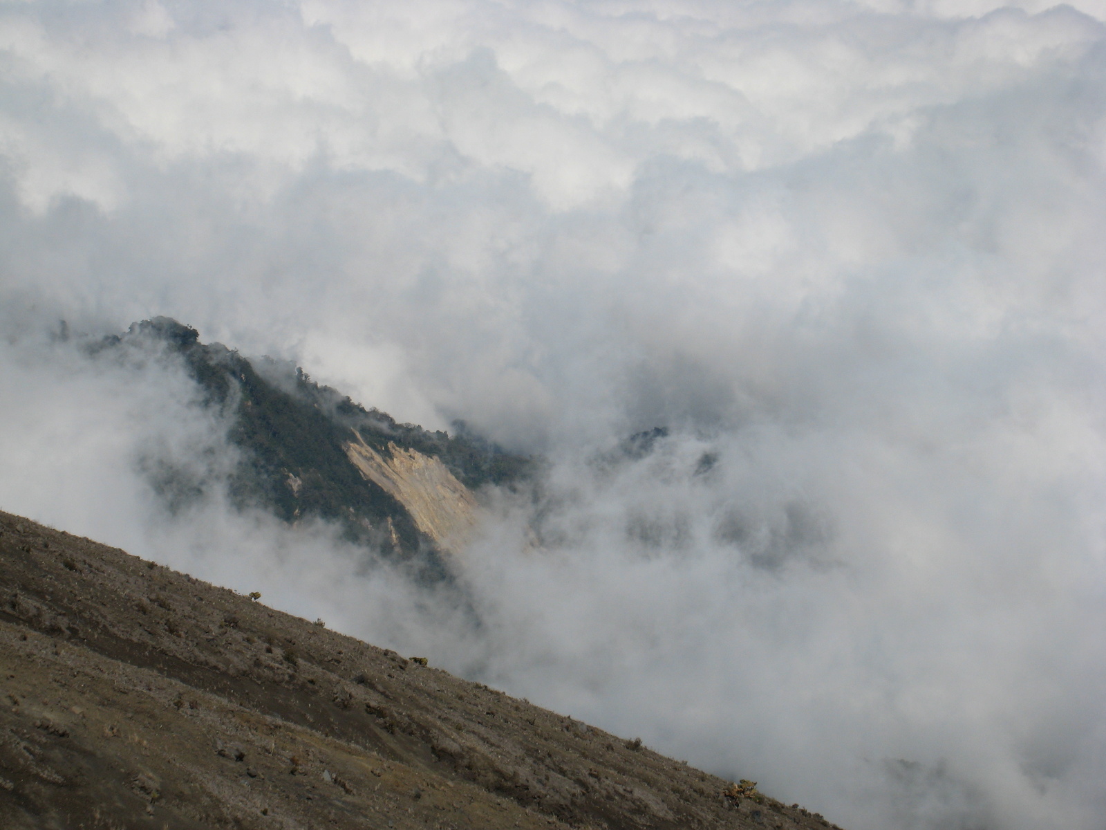
We’ve visited several times and it’s been amazingly different each time.  The color and size of the lakes varies with recent rains and activity levels and the weather can change in minutes.

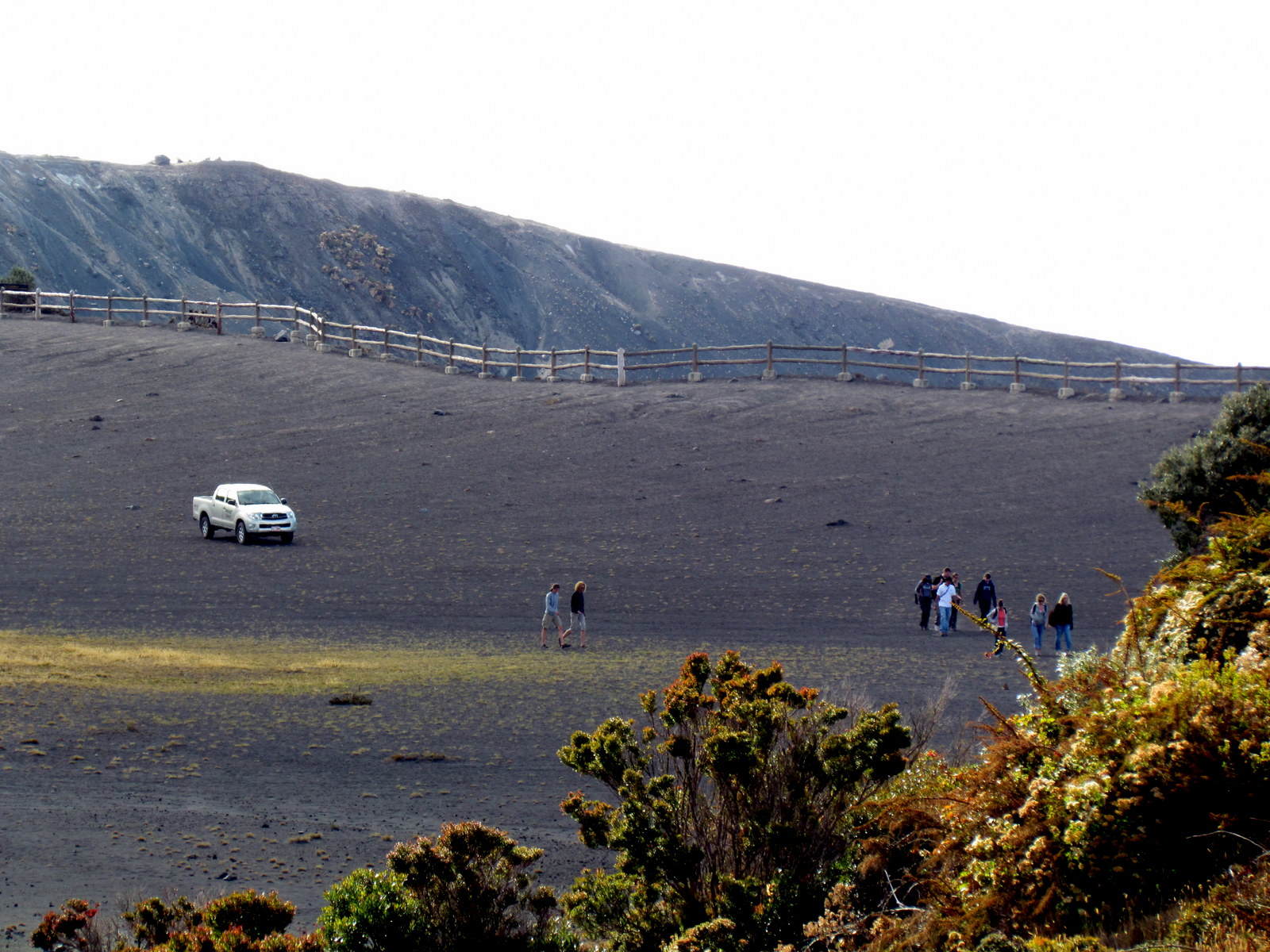
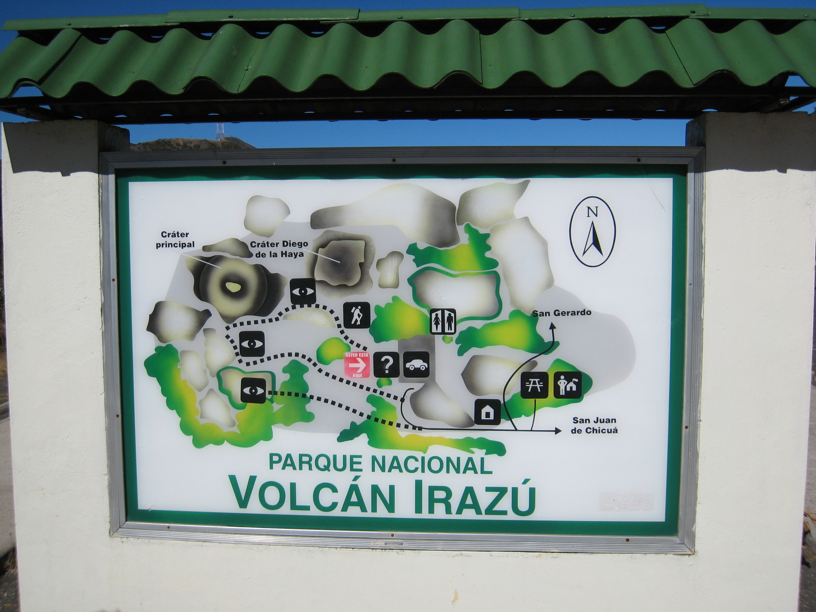
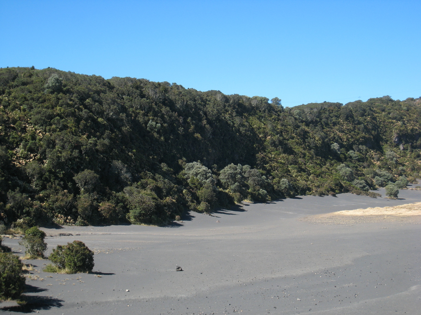
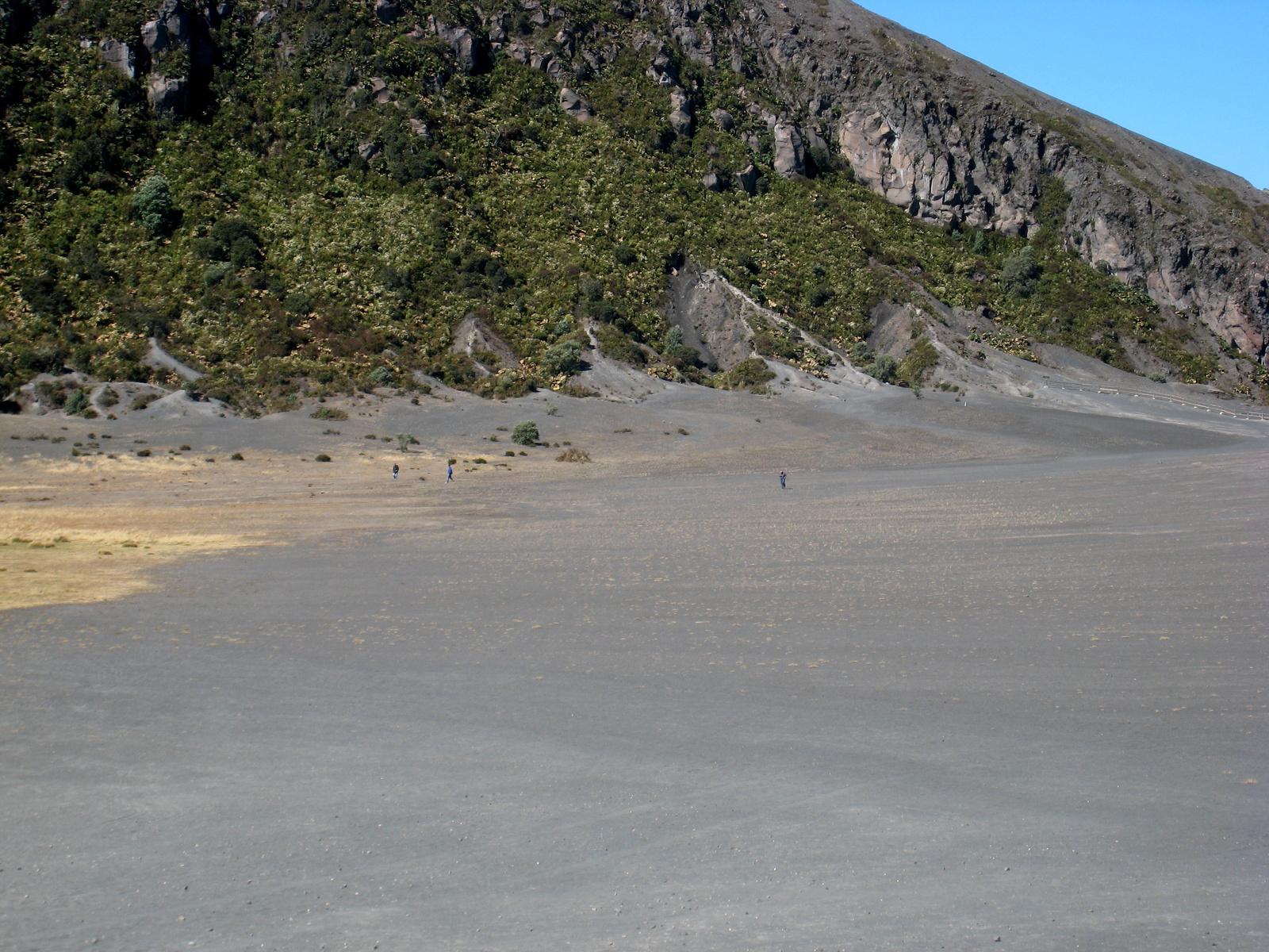
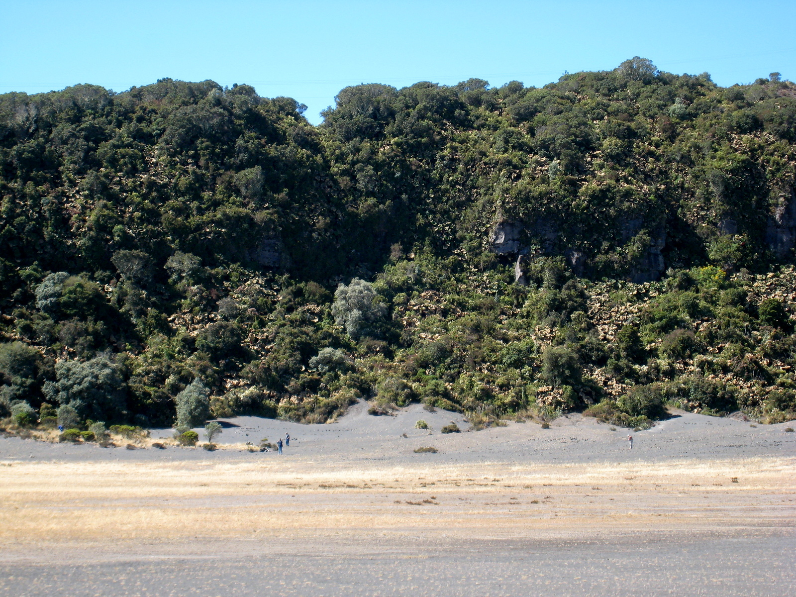
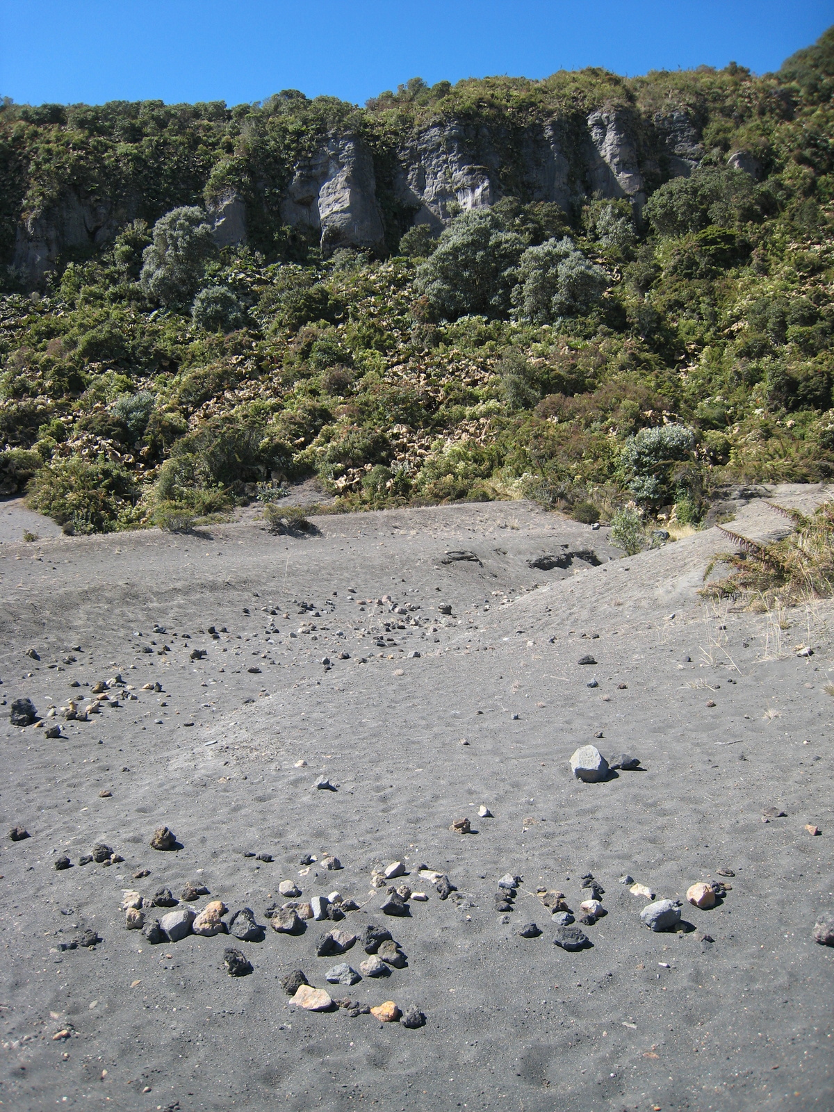
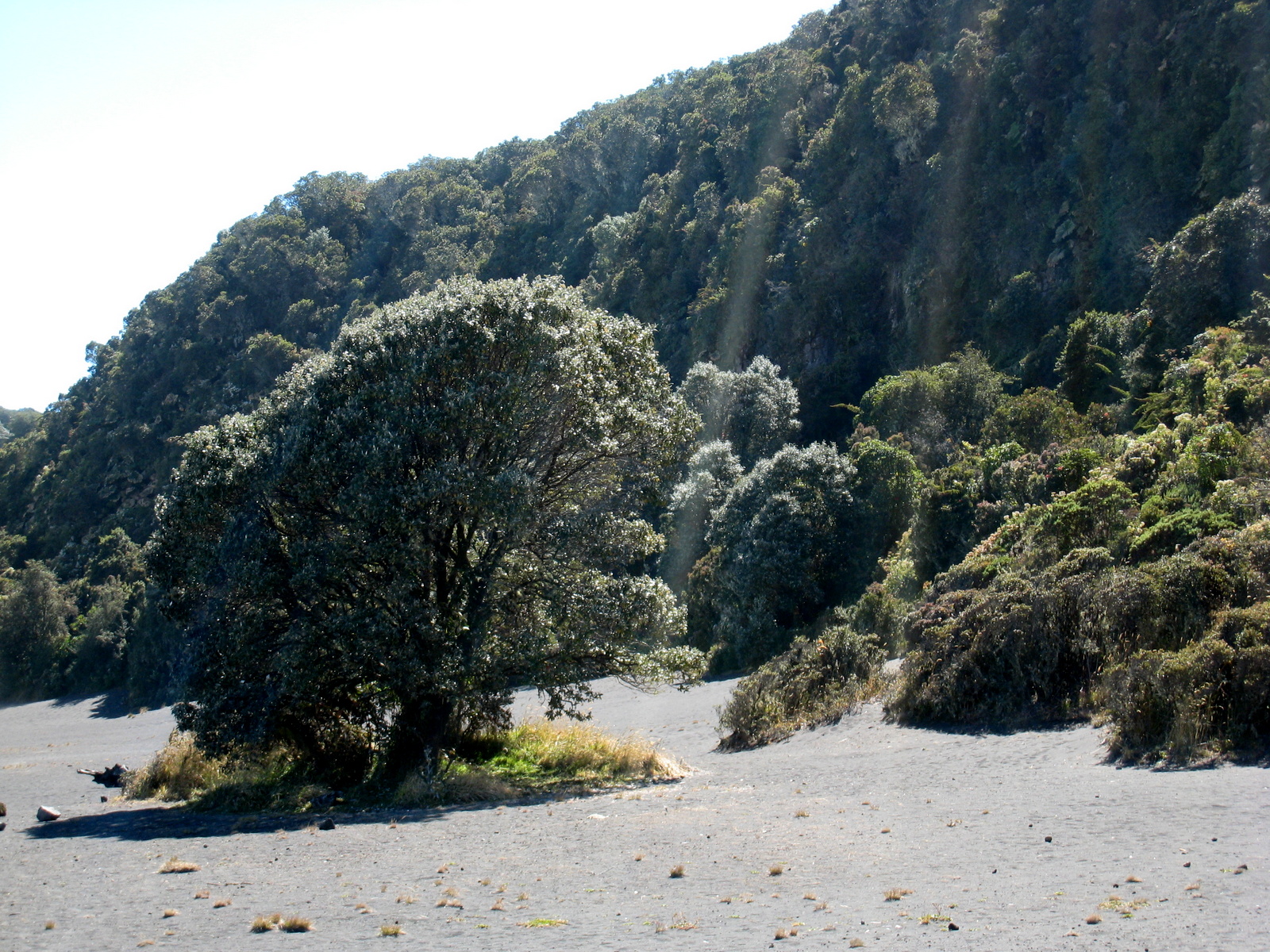
There is a trail map but the trails are a bit vague because the cinder and pumice rim of the craters are like one big gravel parking lot easy to wander on.  Head out along the crater rims and then return along the treeline for a different perspective.  There is an abandoned mirador restaurant on the short road (sometimes closed to vehicles but you can walk up) south of the parking lot and visitors center.  The views from the top are spectacular on a clear day.

It takes about an hour to drive to the top and the gates close promptly at 3:30 p.m. (see herding tourists below).  Mornings are also much clearer and in the afternoons the clouds move in, the wind picks up and it can be downright frigid at 11,260 feet above sea level.  The views across the countryside and the views into the craters and lakes can be obscured so get an early start.

Herding tourists
Herding tourists – The rangers at Irazu volcano drive their pickup out onto the rim every day at 3:15 and start herding the tourists back towards the exit so the park can close by 3:30
Clouds on Irazu
Clouds on Irazu – Irazú Volcano would be capped with rainy paramo and cloud forest if the toxic gases and volcanic activity didn’t turn the peak into a moonscape
Window through the clouds to the Caribbean lowlands
Volcan Irazú
Volcan Irazú
USGS survey marker on top of Irazú
Crater lake, Irazu Volcano National Park, Costa Rica
Crater lake
Moonscape, Irazu Volcano National Park, Costa Rica
Moonscape
Irazú Volcano National Park trail and attractions map
The picnic area at volcan Irazú has more hummingbirds than mosquitoes
Cloud forest around the rim of volcan Irazú
Sombrillos de pobre wilting
Sombrillos de pobre wilting in the incredible intensity of the tropical sun on top of volcán Irazú
Sombrillos de pobre
Sombrillos de pobre
Yellow flower
Yellow flower
Tiny figures cross ash
Tiny figures cross the desert like ash field, Irazu volcano, Costa Rica
Crater Diego de la Haya, Irazu
Crater Diego de la Haya
Main crater sign, Irazu Volcano National Park, Costa Rica
Main crater
Crater Diego de la Haya, Irazu Volcano National Park, Costa Rica
Crater Diego de la Haya
Crater lake
Crater lake
Tiny Hikers
Tiny Hikers (near center just emerging from the trees) in a huge crater at volcan Irazú
Crater lake
Crater lake
Volcan Irazu
Volcan Irazu
Radio and television towers
Volcano Irazú
Volcano Irazú
Shrubs and scrub forest around the rim
Shrubs and scrub forest around the volcano rim
Picnic area, Irazu Volcano National Park, Costa Rica
Gift shop and visitor center Irazú volcano
From the road
From the road up the volcano
Peak of Thunder
Peak of Thunder
Irazu crater
Irazu crater

Ray & Sue

Cost · ToDo · Plan·Costa Rica Guide logo animated·Top10 · Best Time · Contact


toll free Costa Rica travel desk!
1-866-816-0197

CONTACT US

Costa Rica National Park Photos
  • Tortuguero Beach – National Park & Sea Turtles Nesting
  • Tortuguero Village & Canals Photos
  • Savegre National Park
  • La Cangreja National Park Photos
  • Carara National Park Photos
  • Irazu Volcano Photos
  • Tenorio Volcano Photos
  • Tortuguero Photos
  • Turrialba Volcano Photos
  • Arenal National Park Photos


Costa Rica Guide on facebook
Costa Rica Guide on Facebook