Costa Rica Guide

travel information and maps

  • Vacation Planning
  • Best Trips Ever>>
  • More Fun Than Humanly Possible
  • Costa Rica
    • Top Ten
    • Best Time to Visit Costa Rica
    • Things To Do in Costa Rica
    • Maps
    • Transportation
      • Rental Cars
        • Advantages of Driving
        • Disadvantages Driving
        • Code of the Road
        • Navigation & Drive Time
        • Rental Insurance Explained
        • Can’t Get There
      • Airports
        • Flights Worth Taking
        • LIR or SJO
        • Airfare Deals
        • Domestic Airlines
        • Domestic Air Tips
      • Taxis
      • Bus Schedule
    • Food
      • Typical Menu
      • Batidos & Refrescos
      • Gallo Pinto
      • Tamales
      • Ceviche
      • Ensalada Palmito
      • Sopa Negra
      • Vinagre Chilera
    • Weather
      • Seasons in Costa Rica
      • Current Storms in Costa Rica
    • Regions
  • Nature & Wildlife
    • National Parks
    • Wildlife Refuges
    • Ecozones
    • Best Places to See Wildlife in Costa Rica
  • Practical Info
    • Health & Safety
      • Health Tips
        • Altitude Sickness
        • Chikungunya
        • Natural Disasters
      • Crime
        • Cons & Rip-offs
        • Corruption
        • Violent Crime
    • Will My Phone Work?
    • Packing List
    • Passports & Docs
    • Money – How To?
    • How Much Does it Cost?
    • Travel Tips
  • Stories
    • Photos
    • Trek Across Costa Rica
    • Sendero de Oro
    • Quebrada Gata
    • Bicycle Touring
    • About Us
  • Move to Costa Rica
  • Free Travel Pack
no obligation custom trip plan & price quote

1-866-816-0197

· Copyright © 2023 ·

Hiking Photos

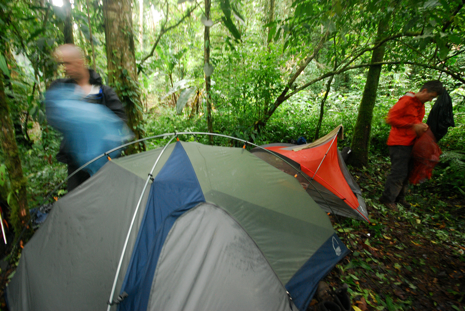
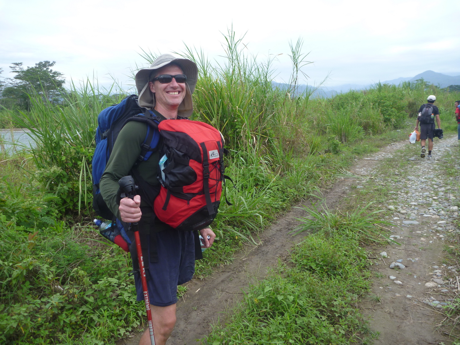
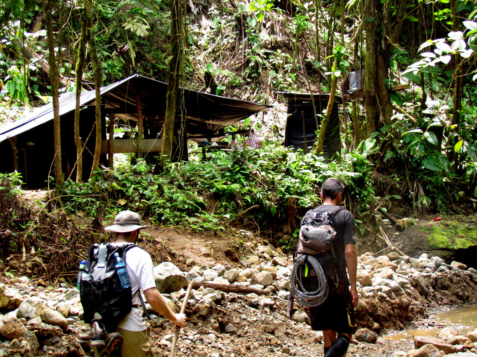
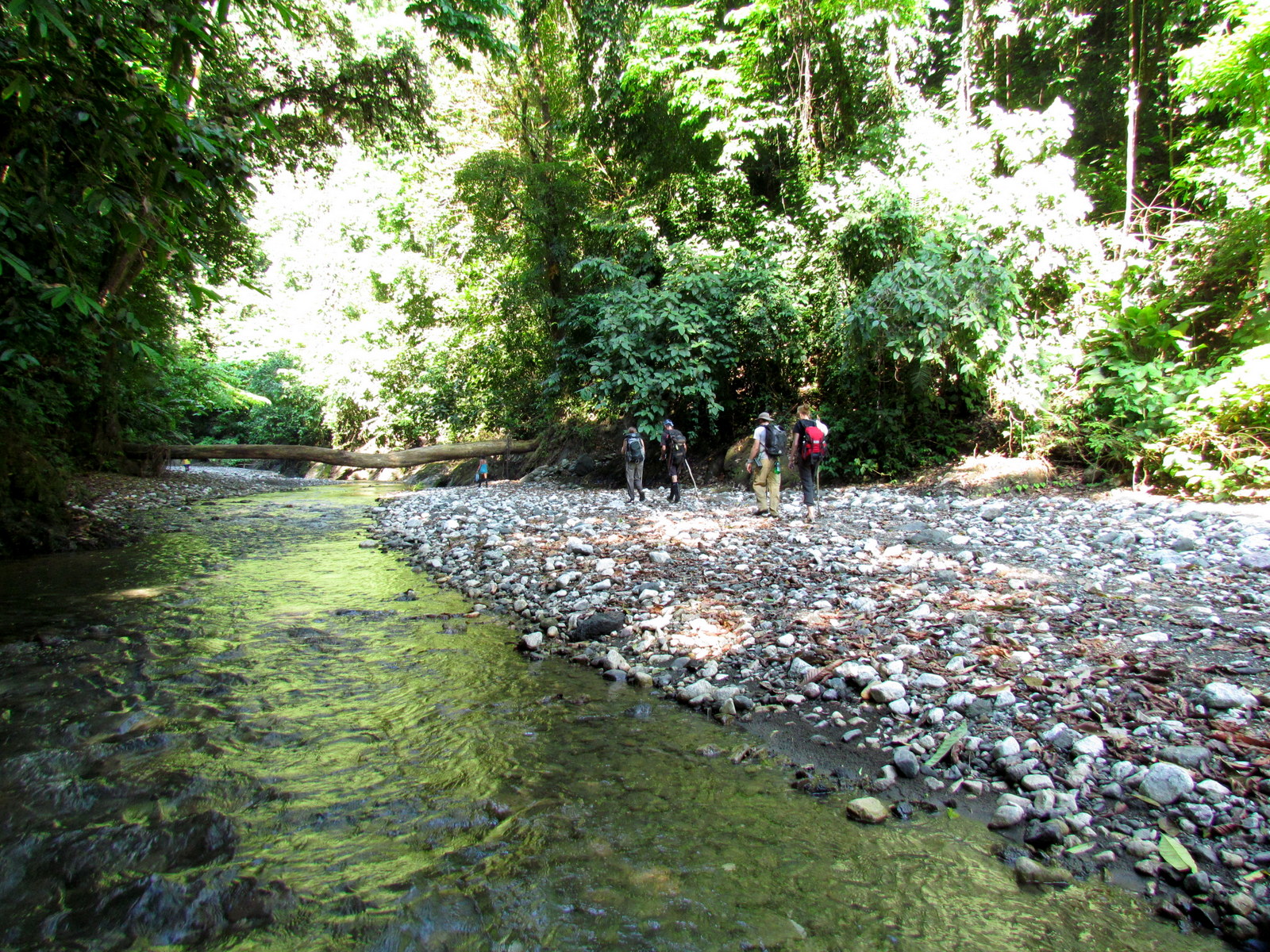
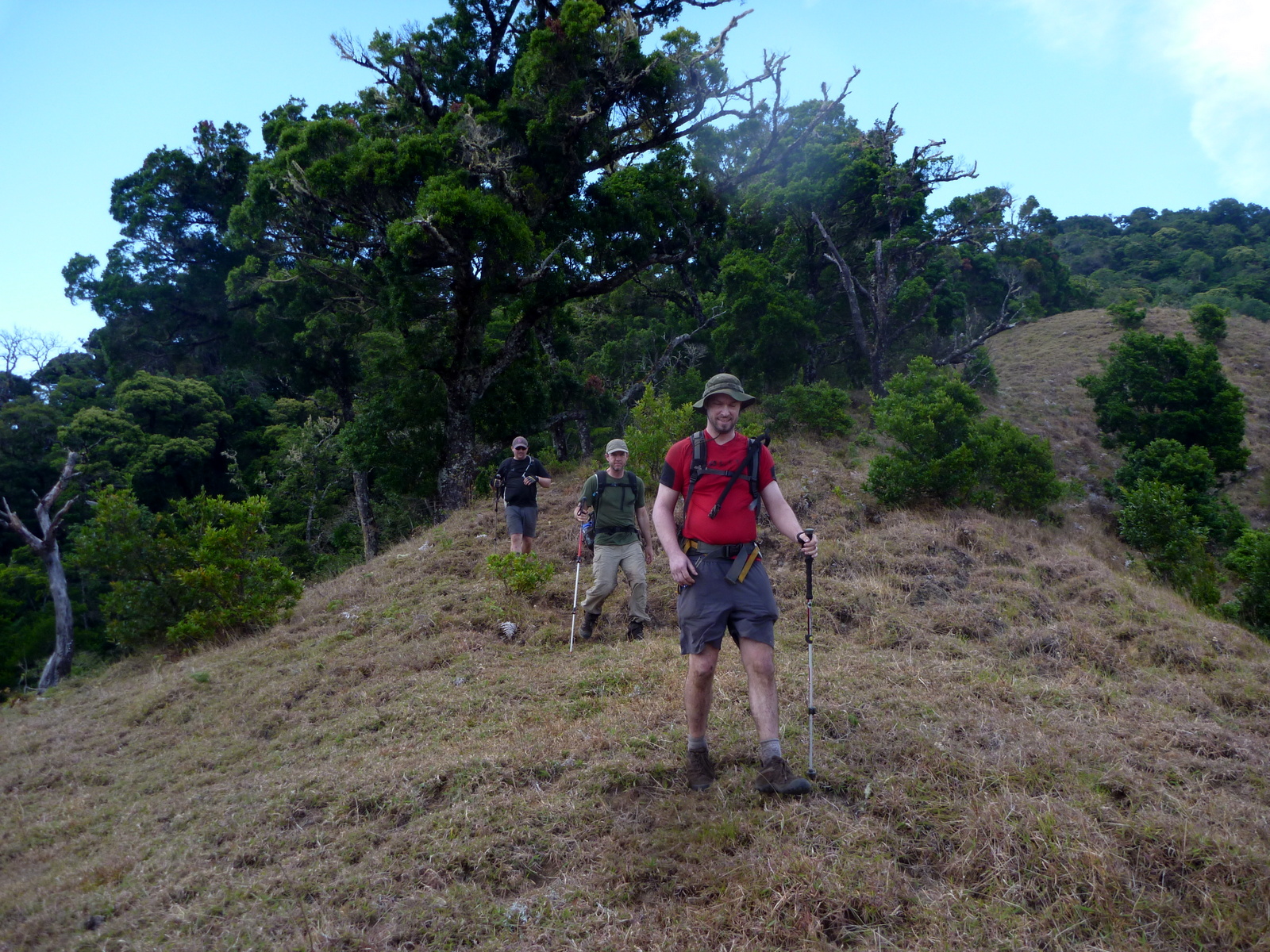
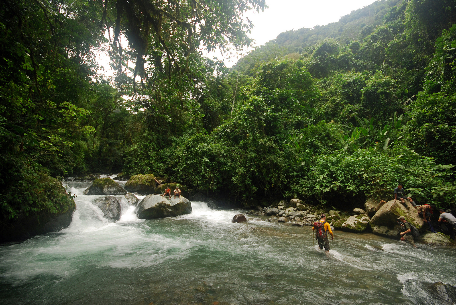
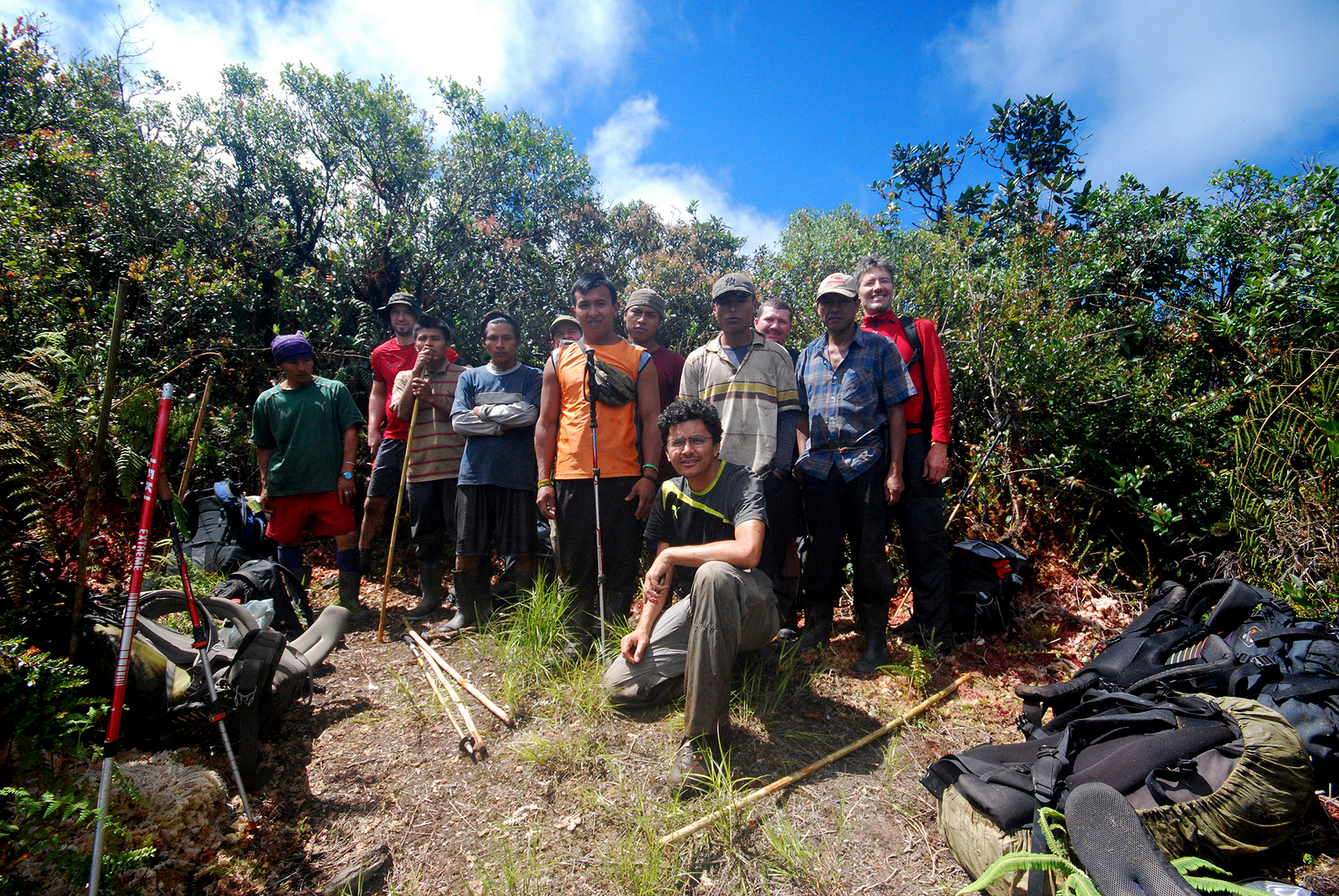
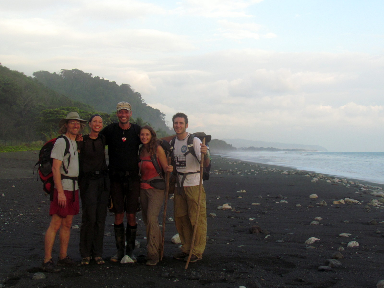
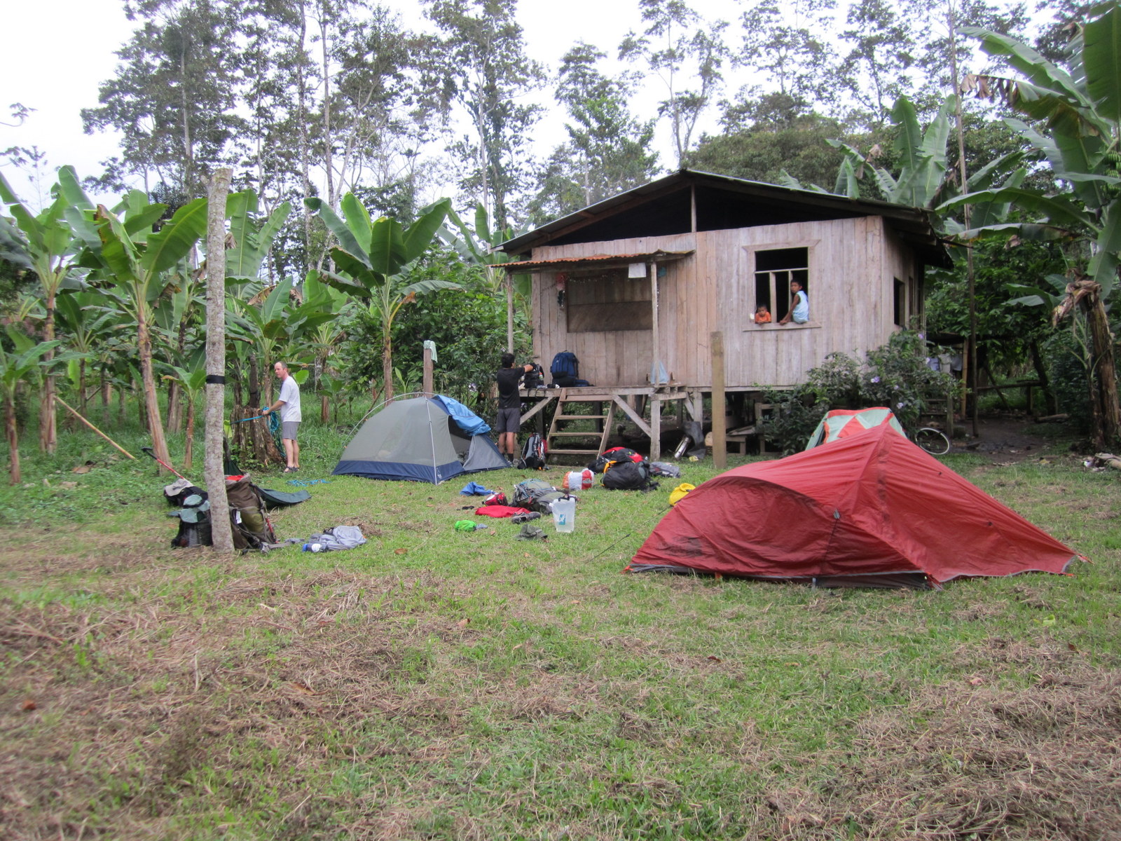
Trekking, backpacking, hiking and walking are some of the best ways to see Costa Rica and they’re not the same thing.  Trekking implies huts, refugios or other places that you might have a roof over your head while backpacking suggest that everything you need is in your pack.

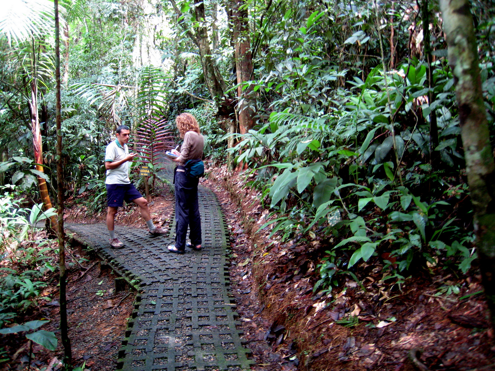
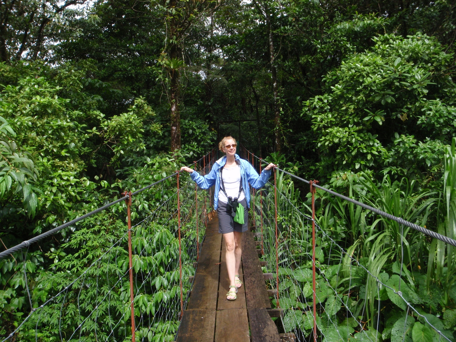
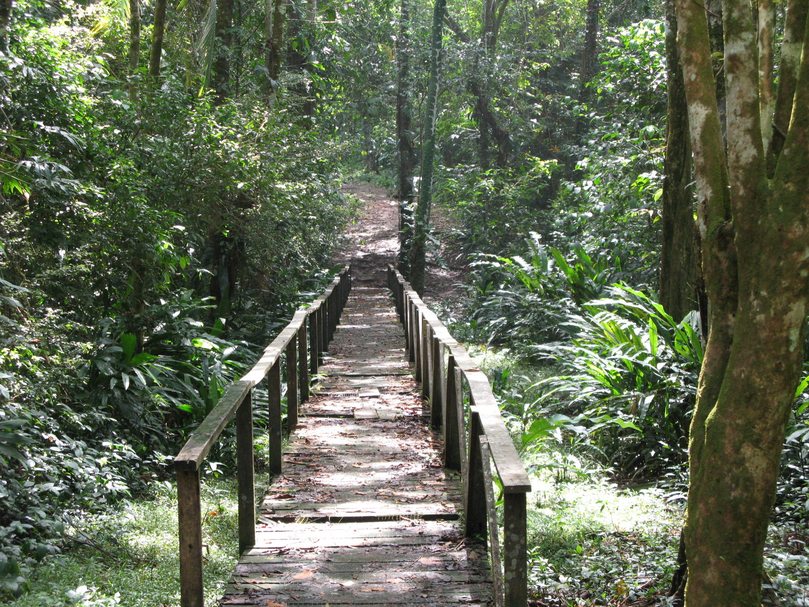
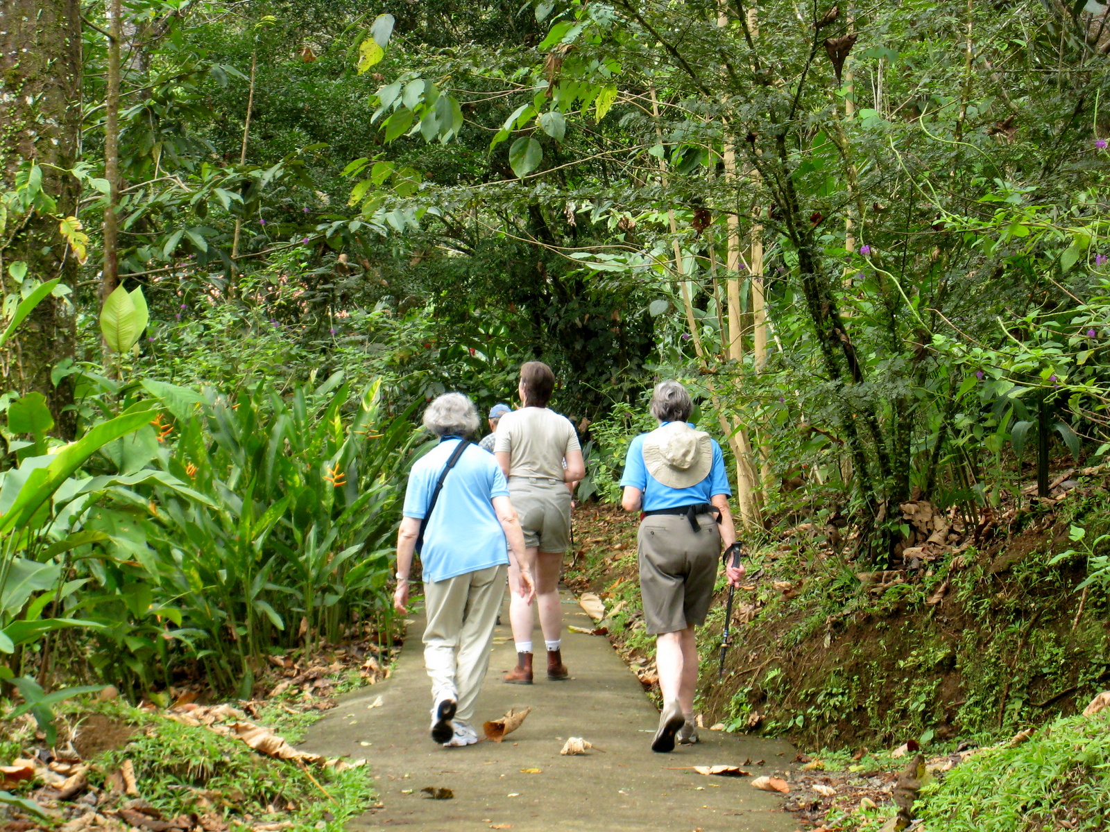
The difference between hiking and walking can be subtle but important in Costa Rica and I try to use the terms carefully when writing.  A walk usually means a highly improved trail without severe elevation gains.  If you do encounter a steep section on something I’ve described as a “walk” it will usually have guard or hand rails alongside wood framed gravel filled steps, paving block steps or even a full metal staircase.

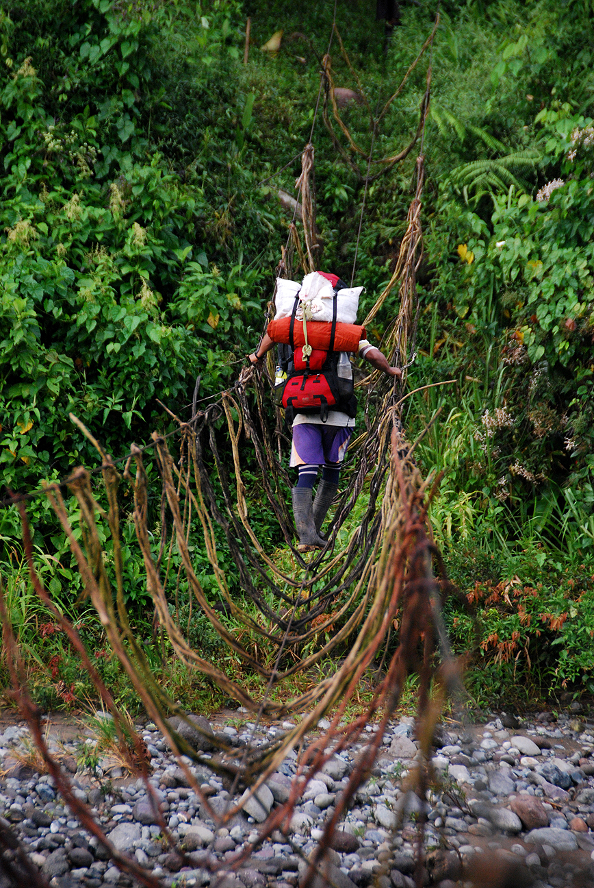
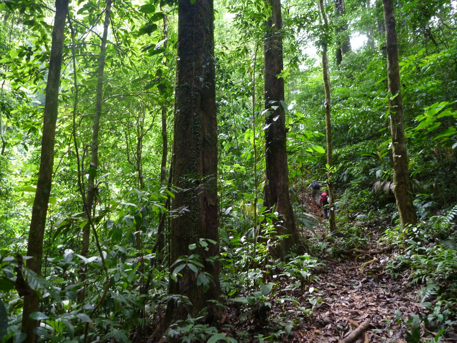
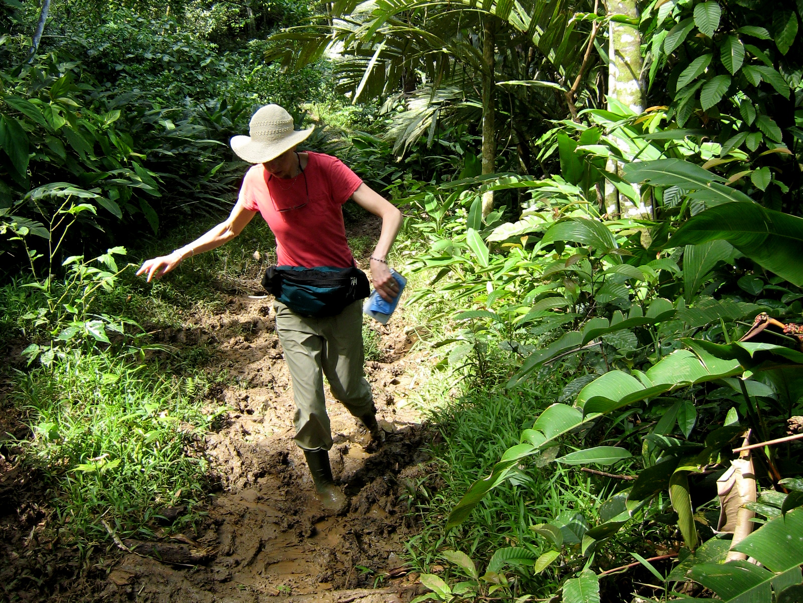
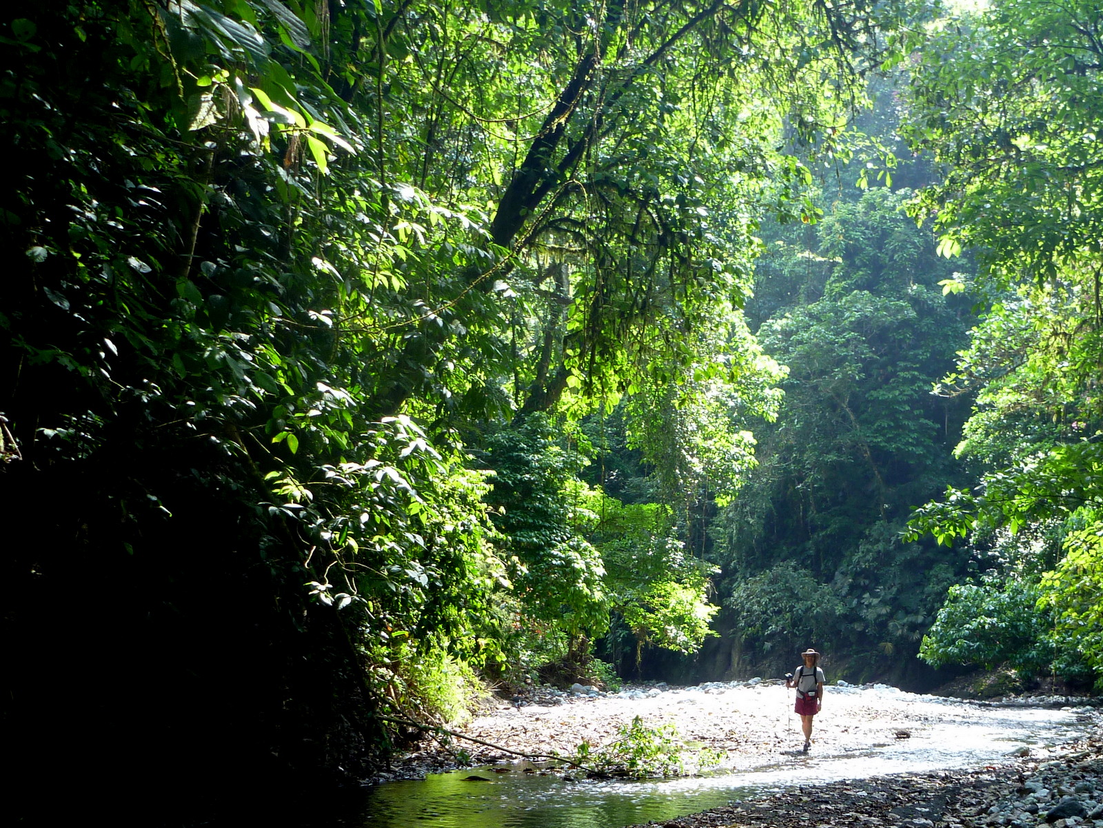
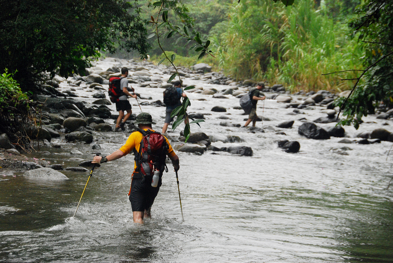
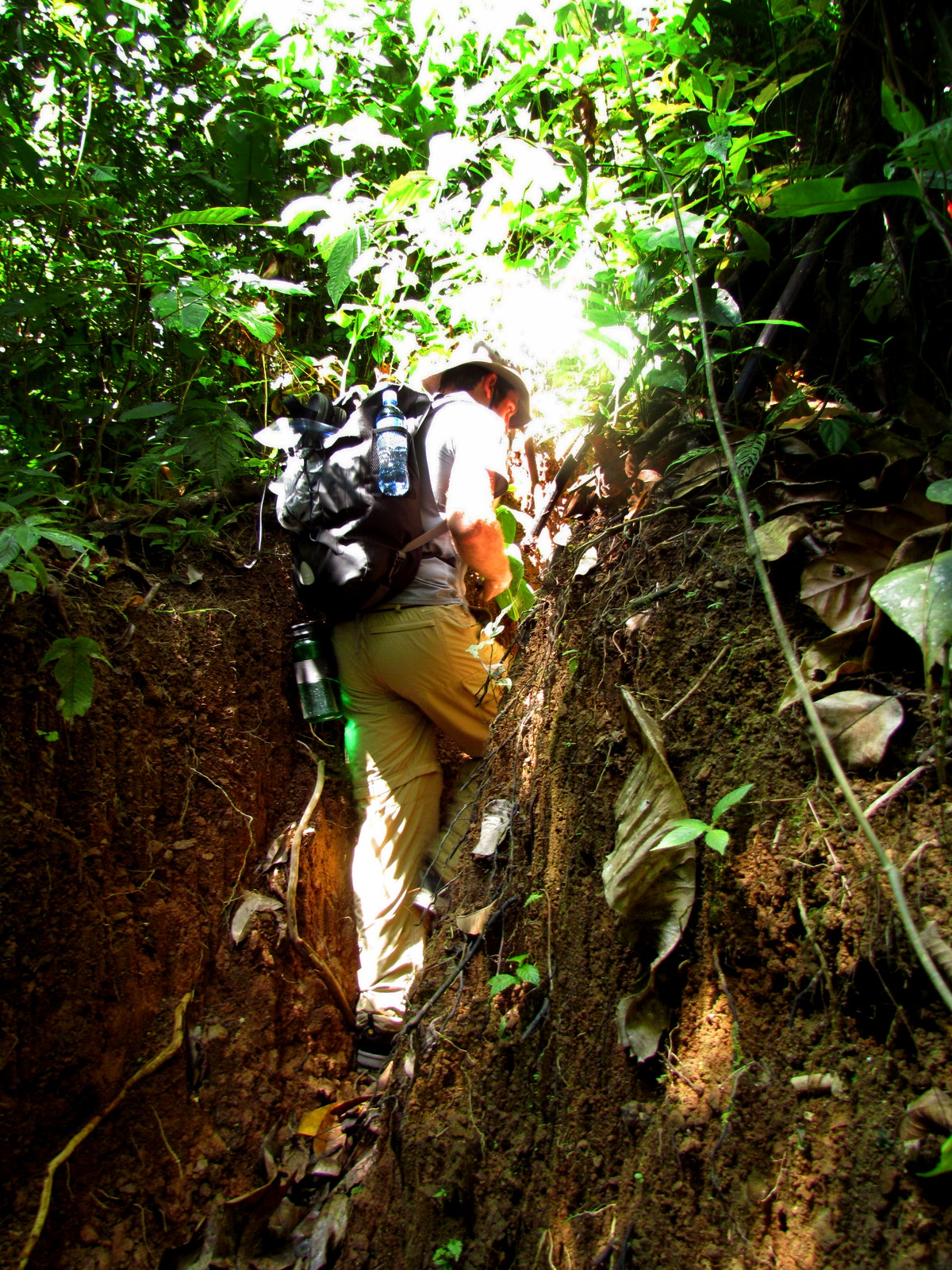
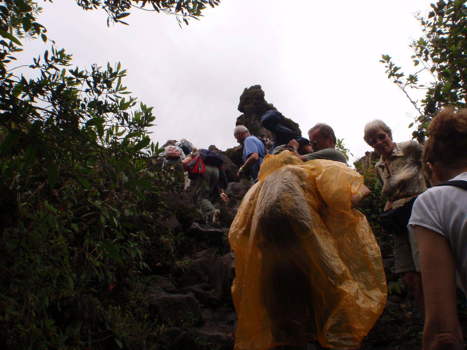
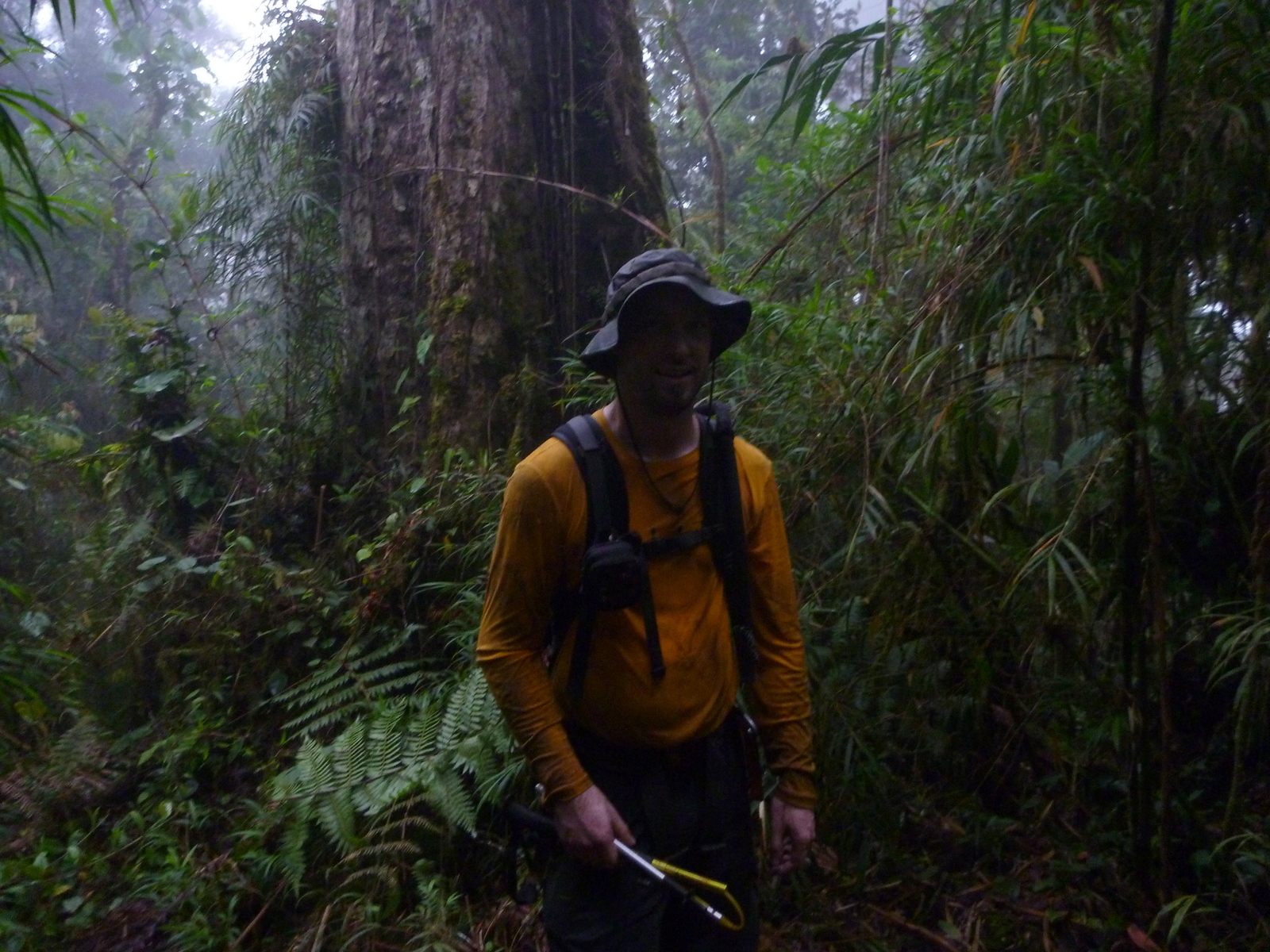
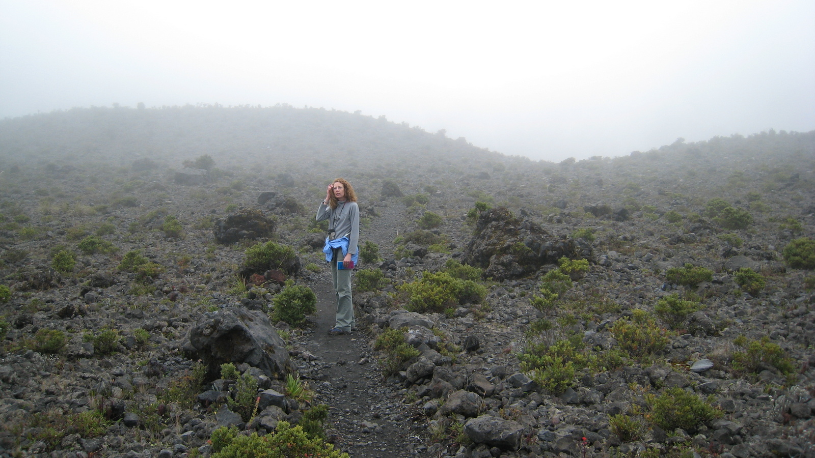
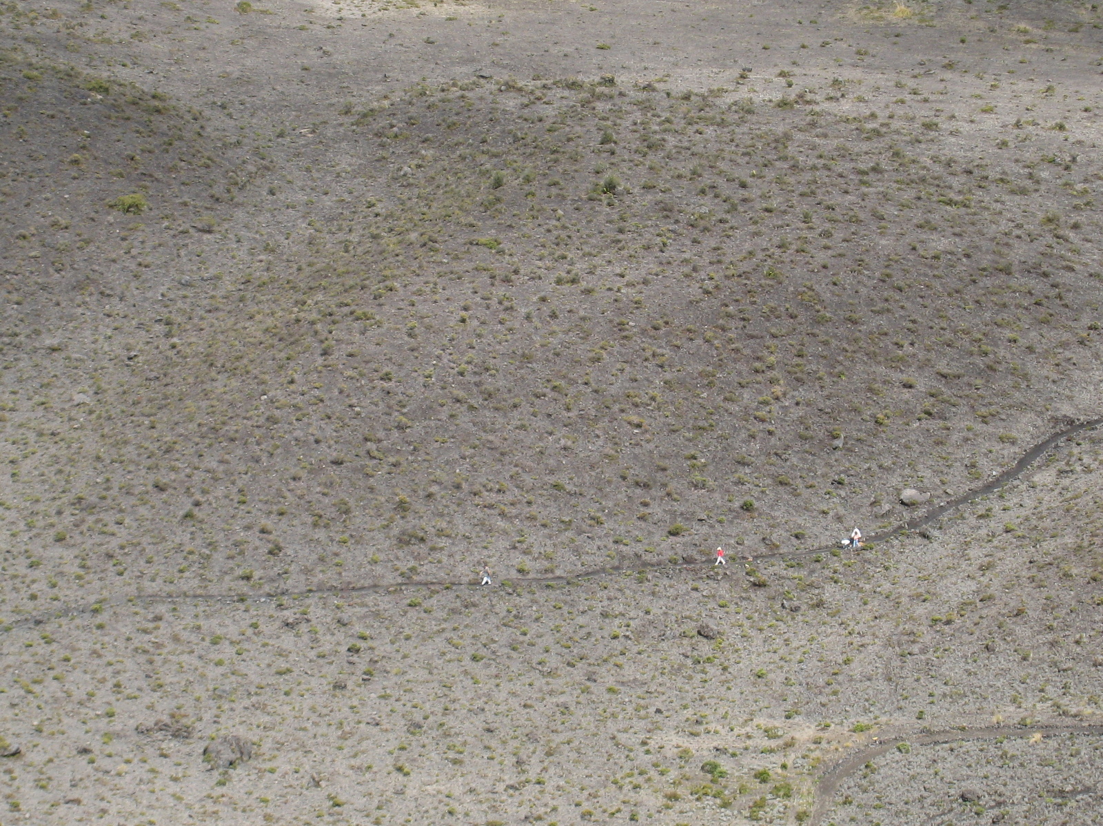
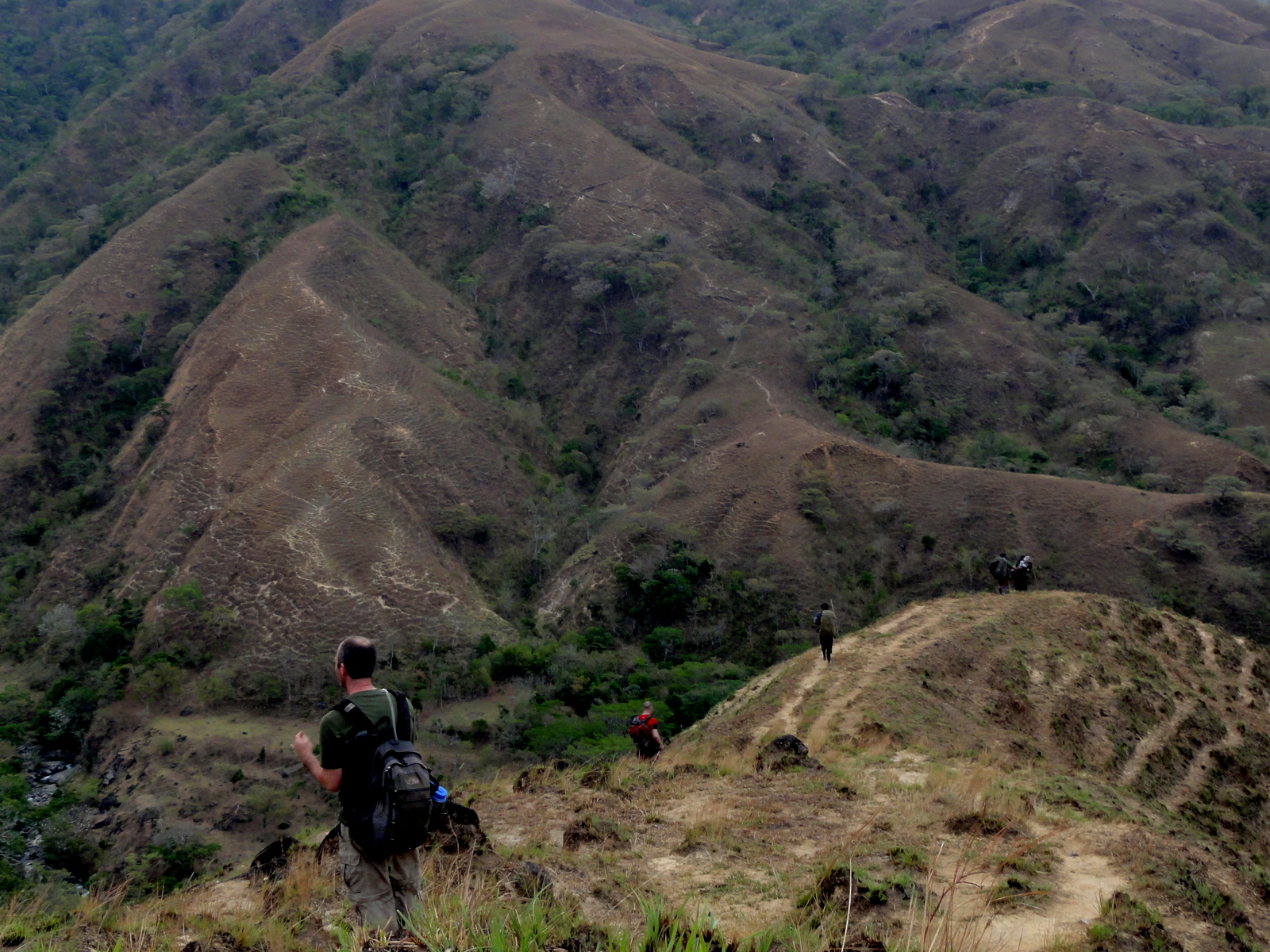
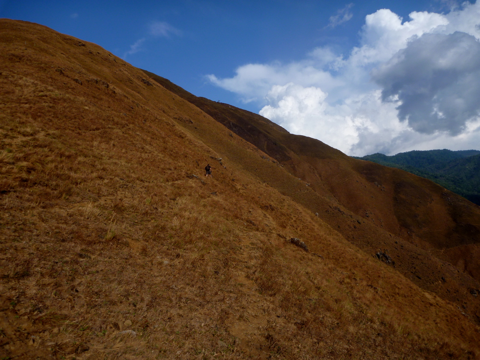
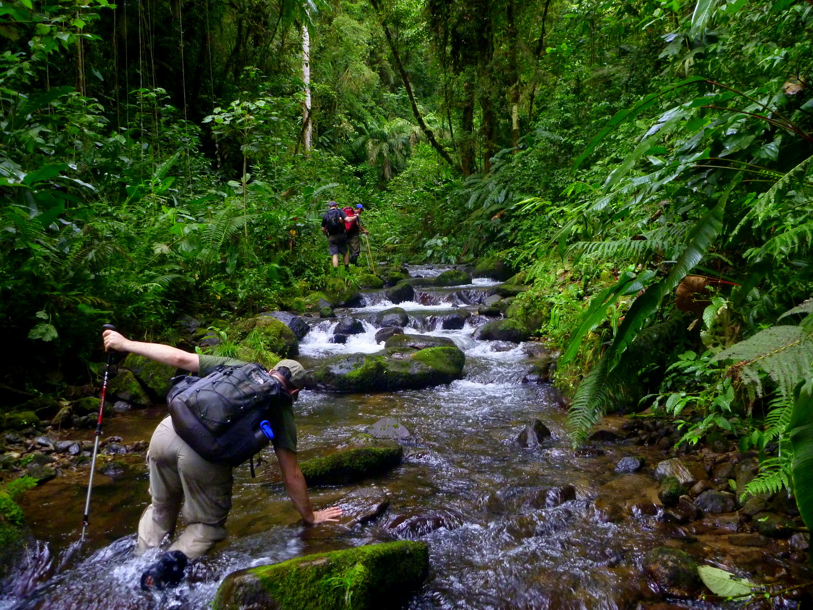
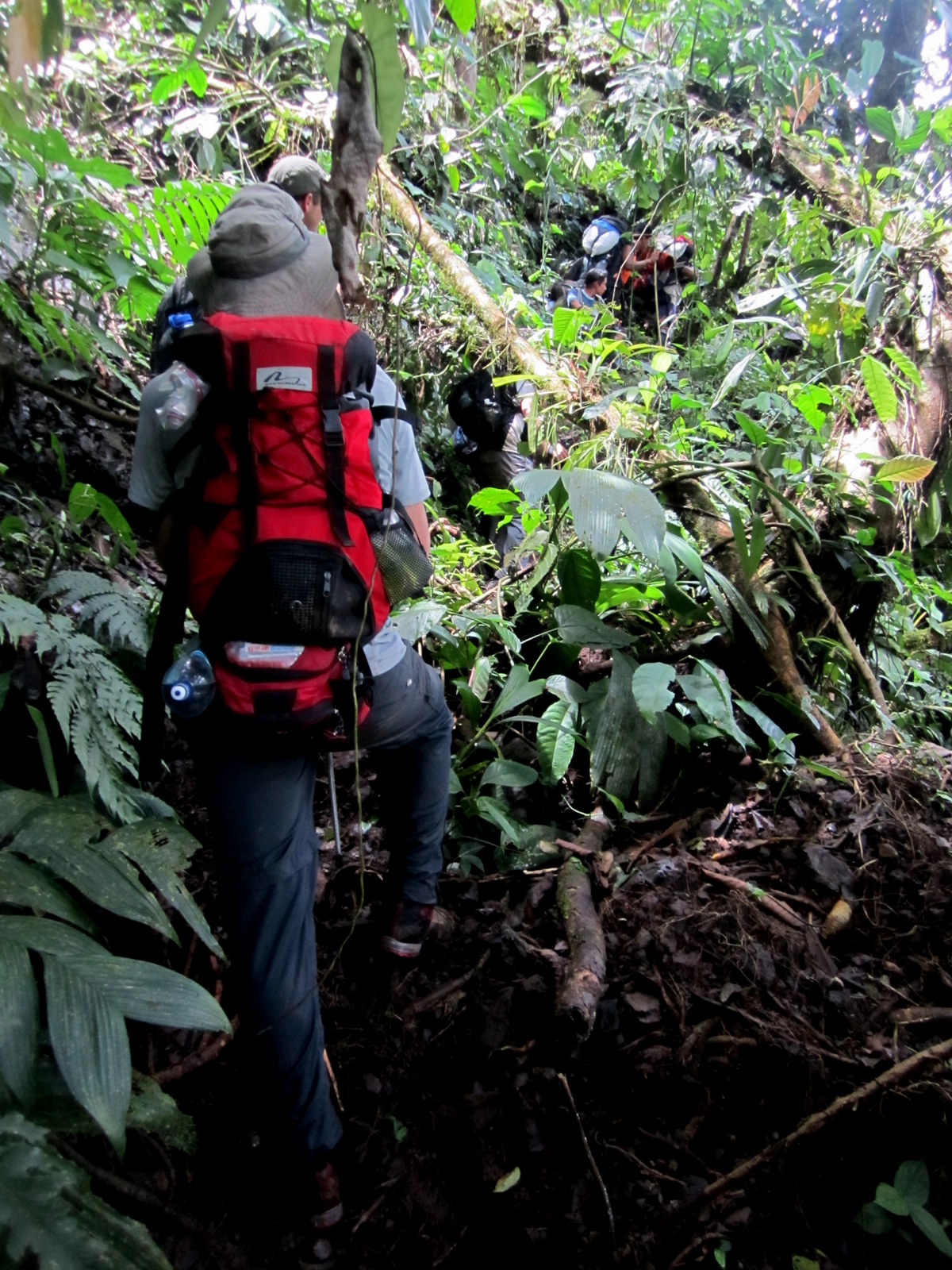
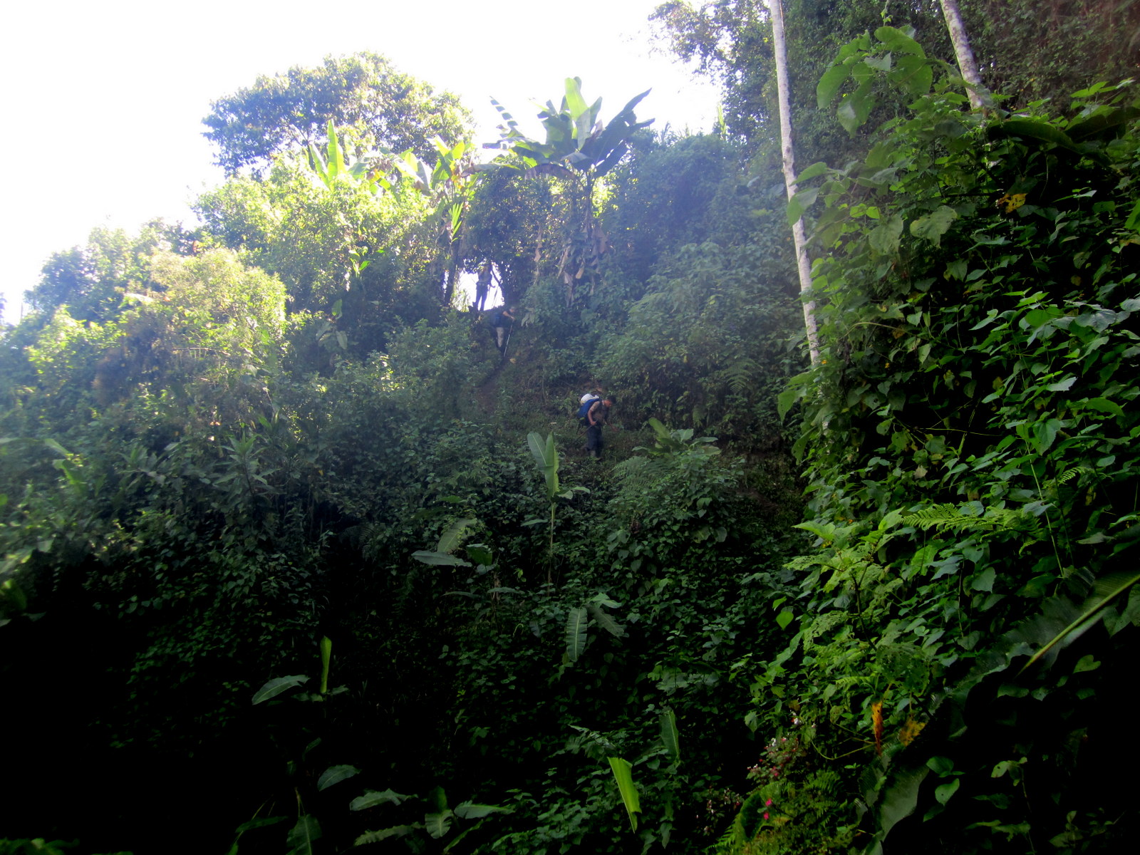
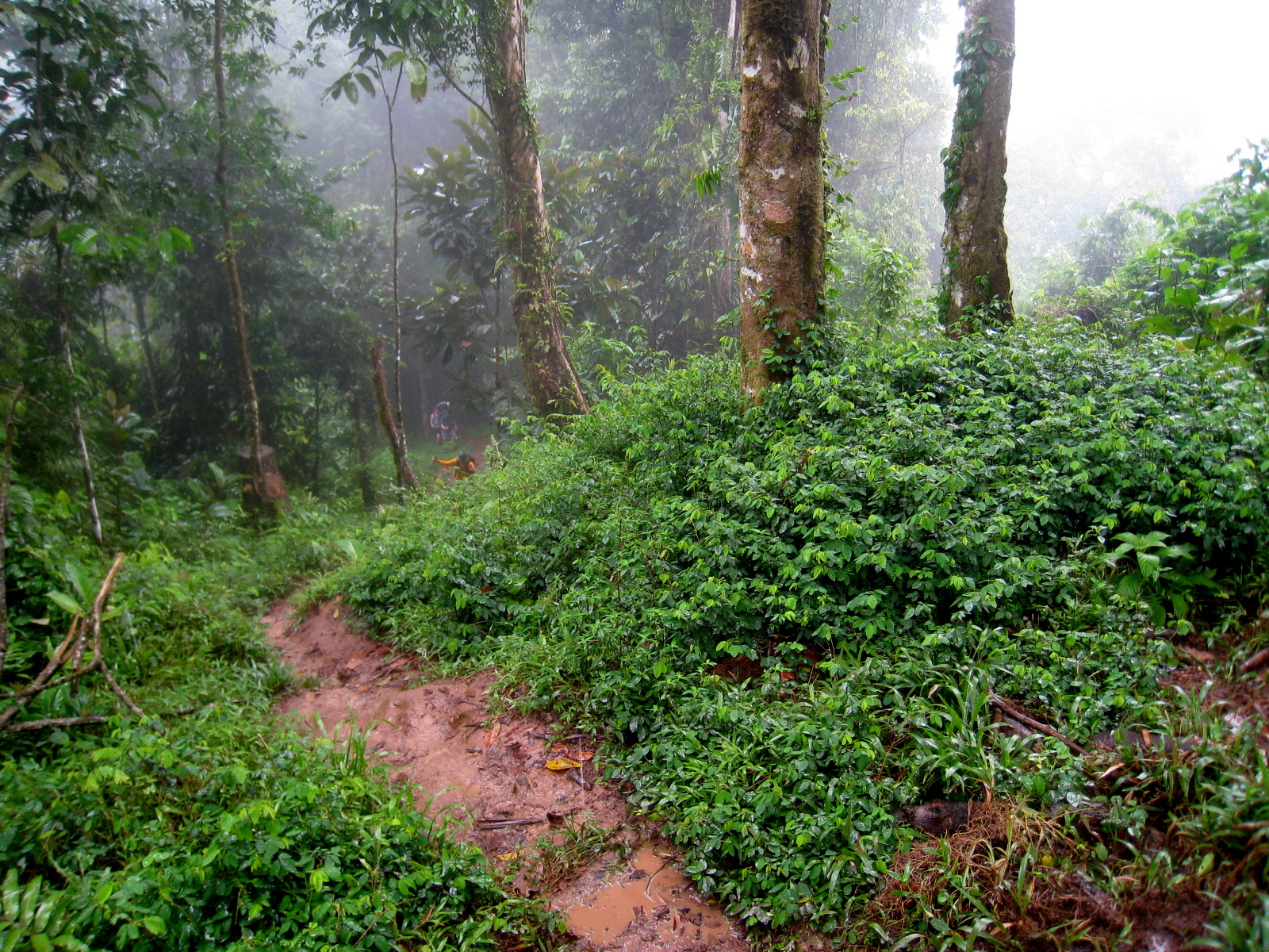
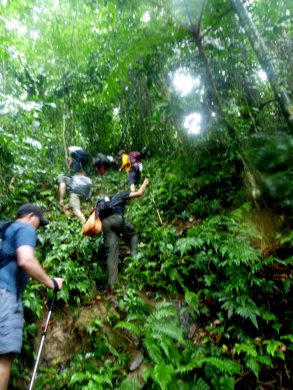
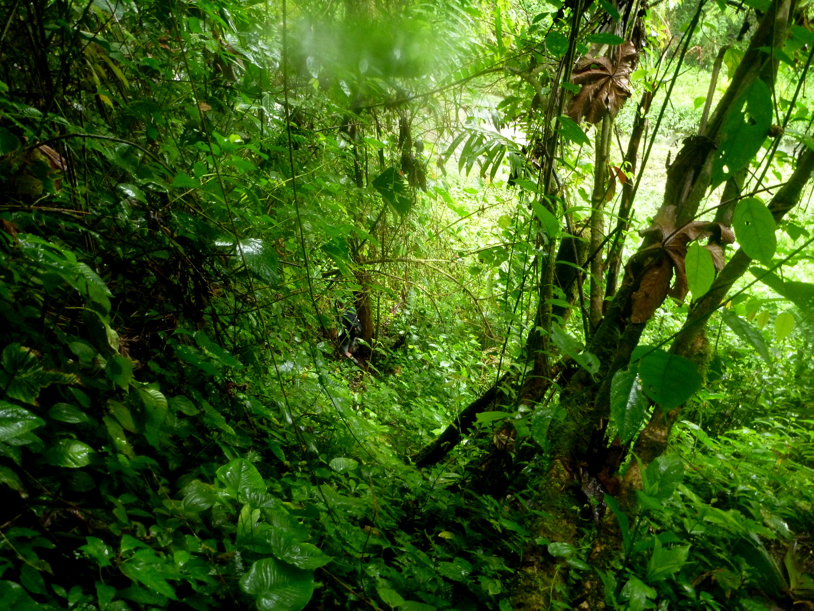
Hiking trails on the other hand can vary from reasonably well engineered (nothing so steep you have to get on your hands and knees) and well maintained to vertical mud walls where you have to climb up on vines or large sections where the trail disappears into a stream bed and you just slosh your way up.

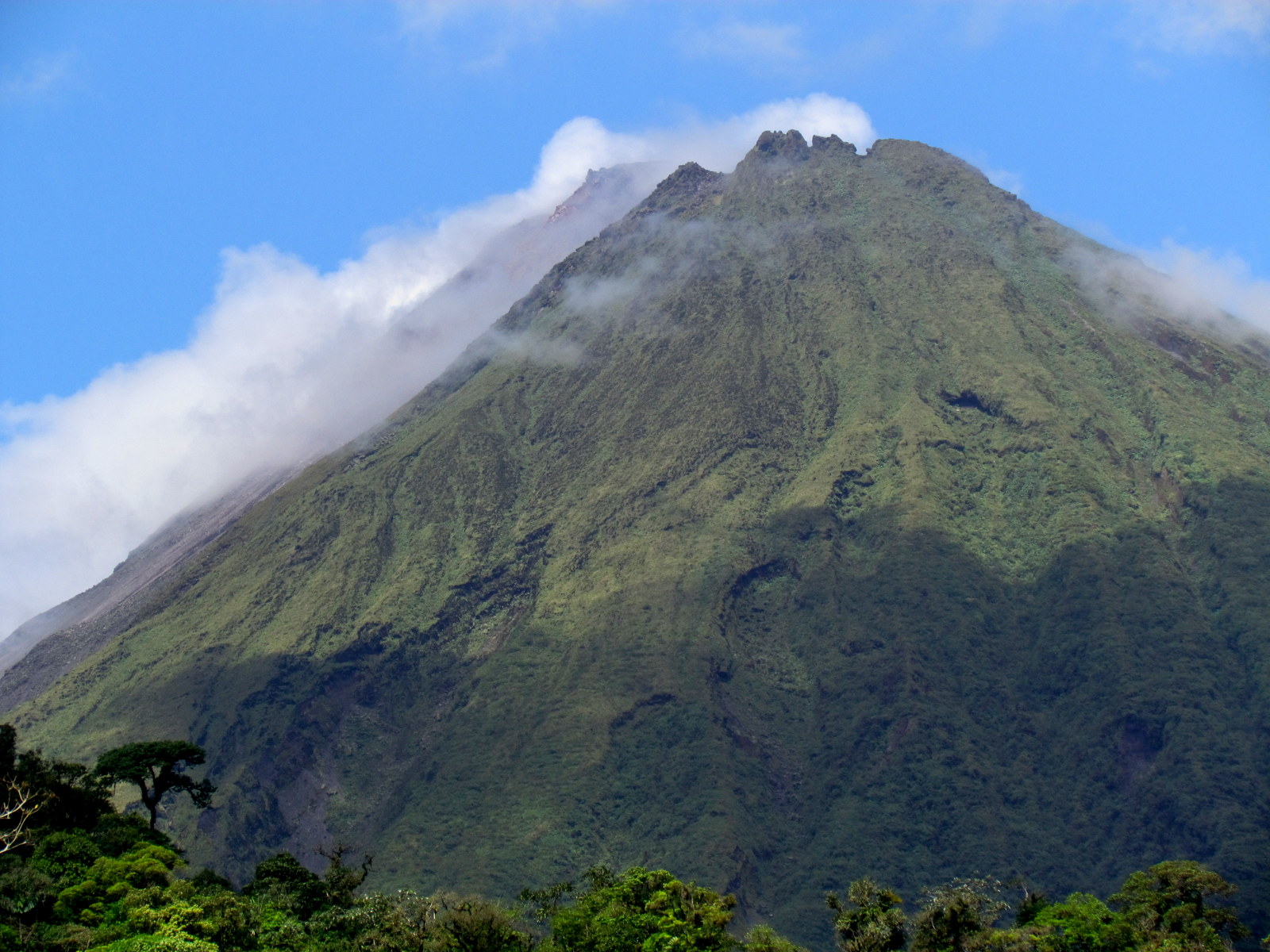
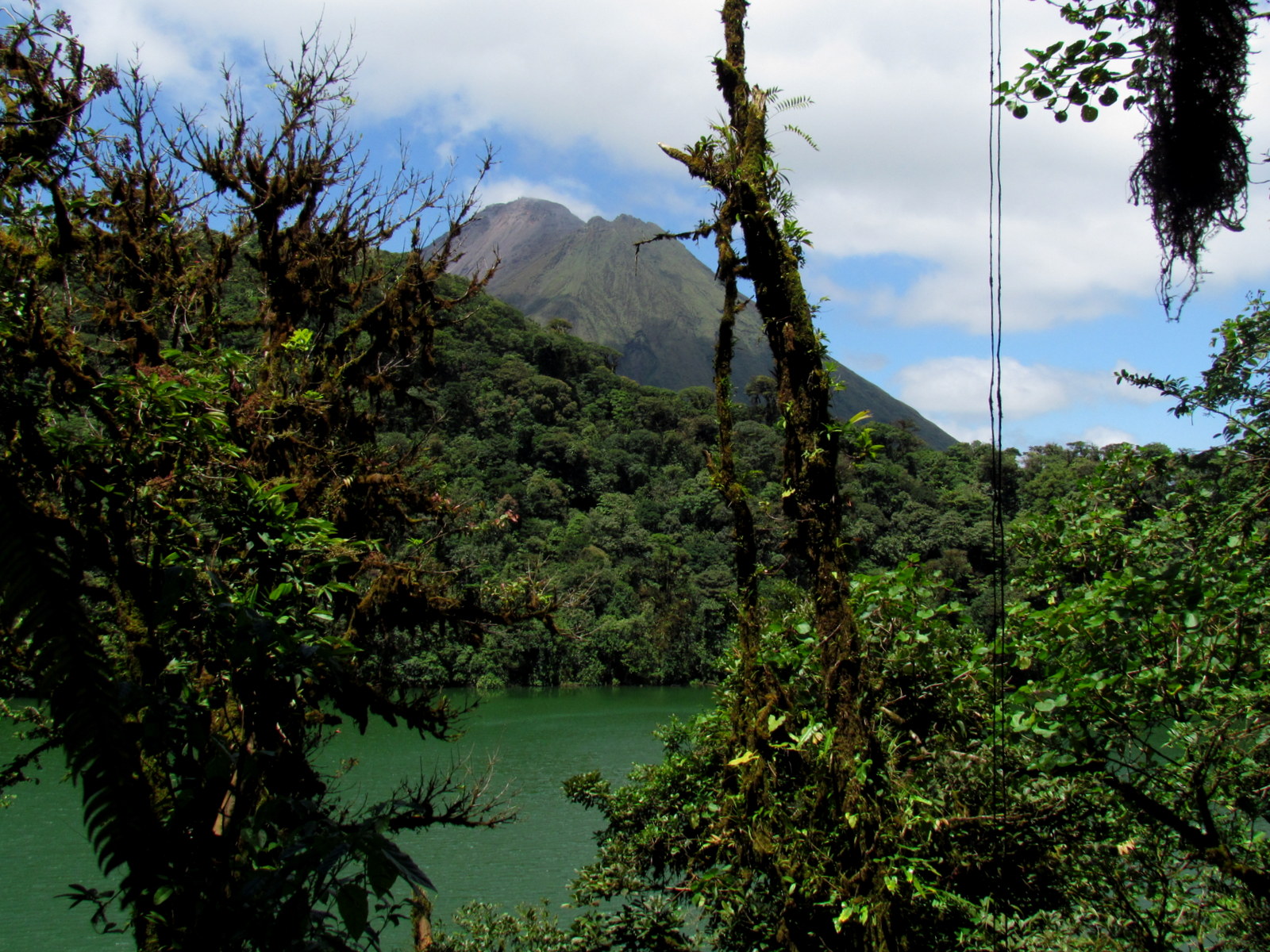
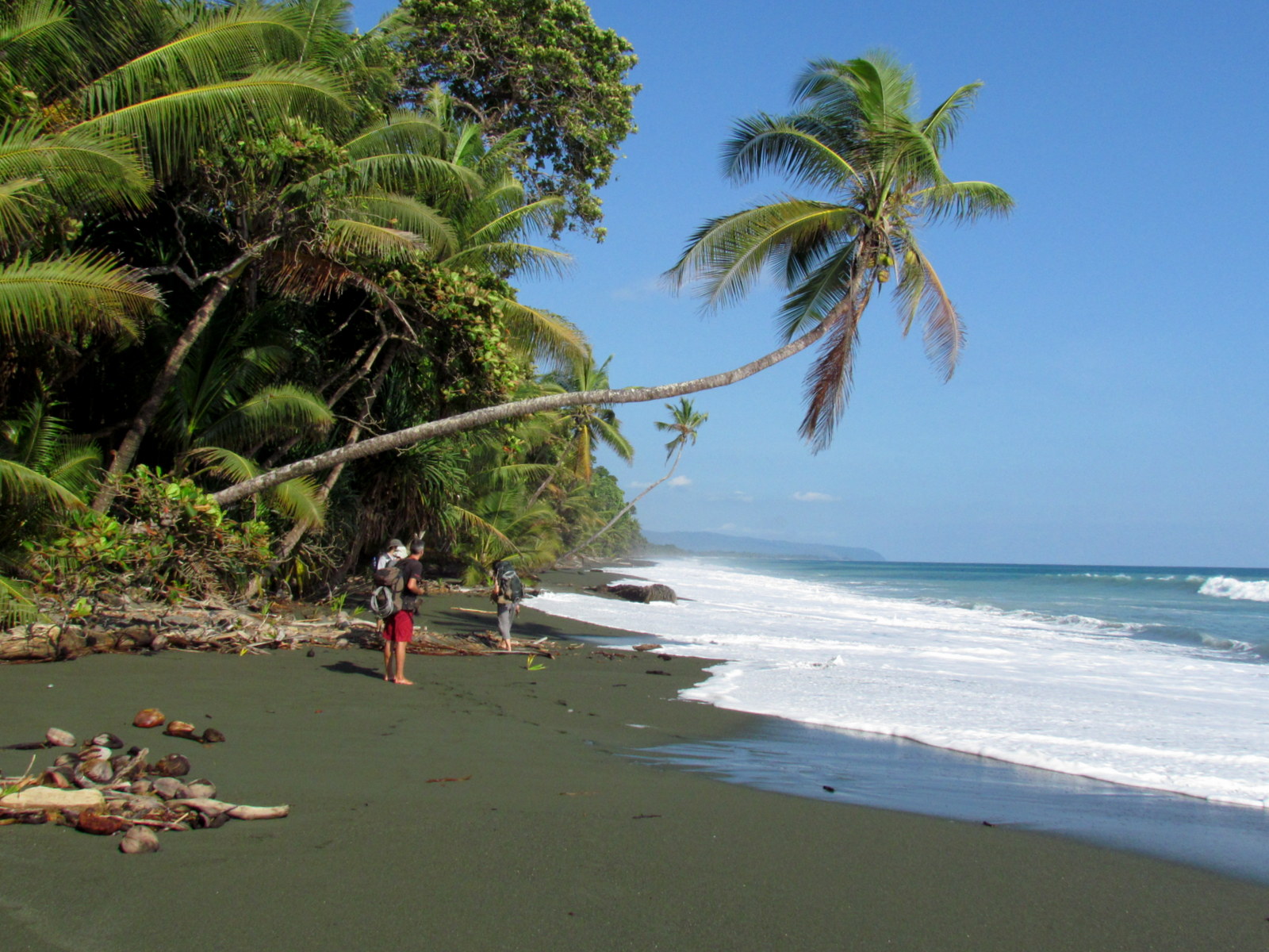
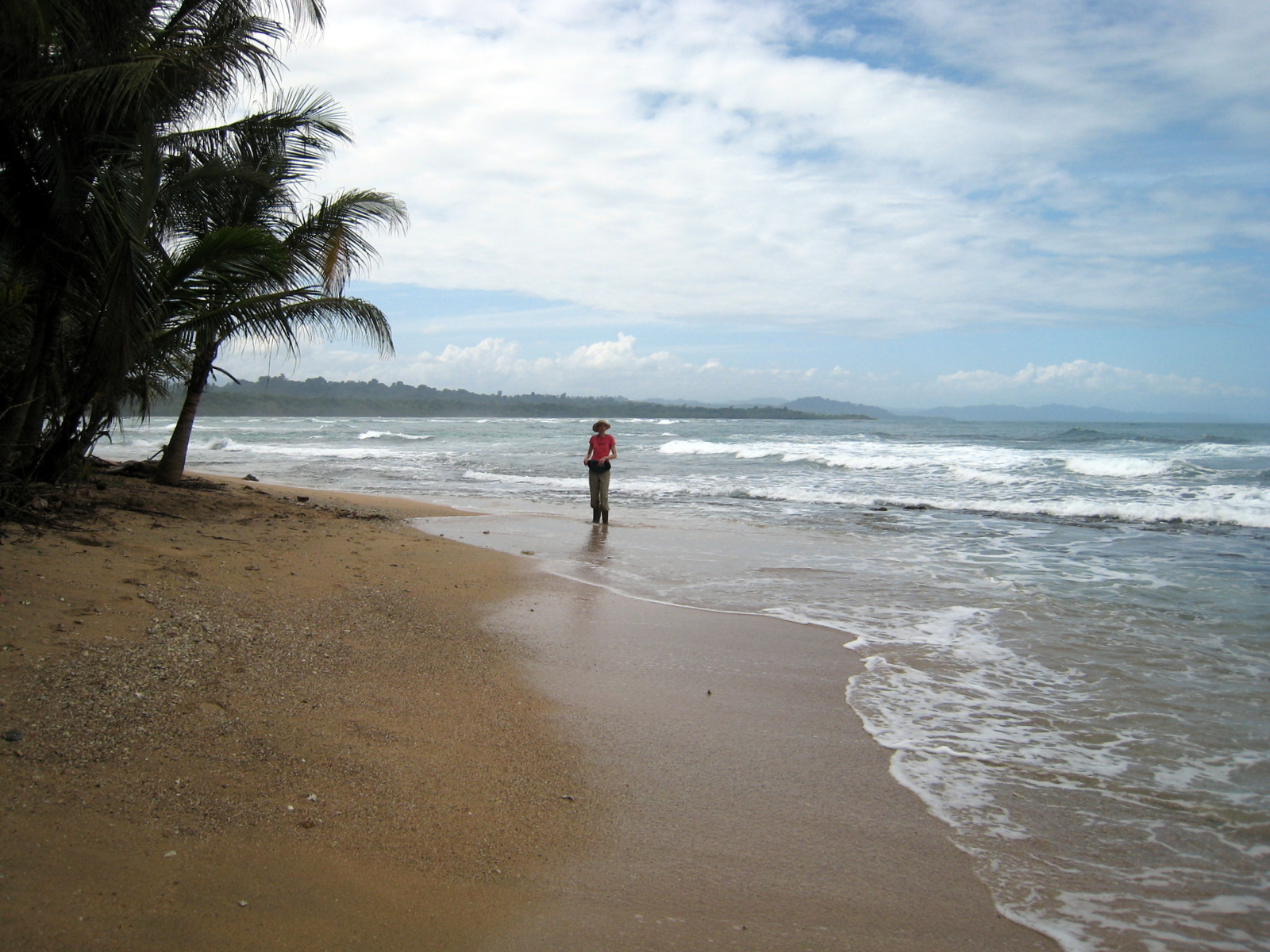
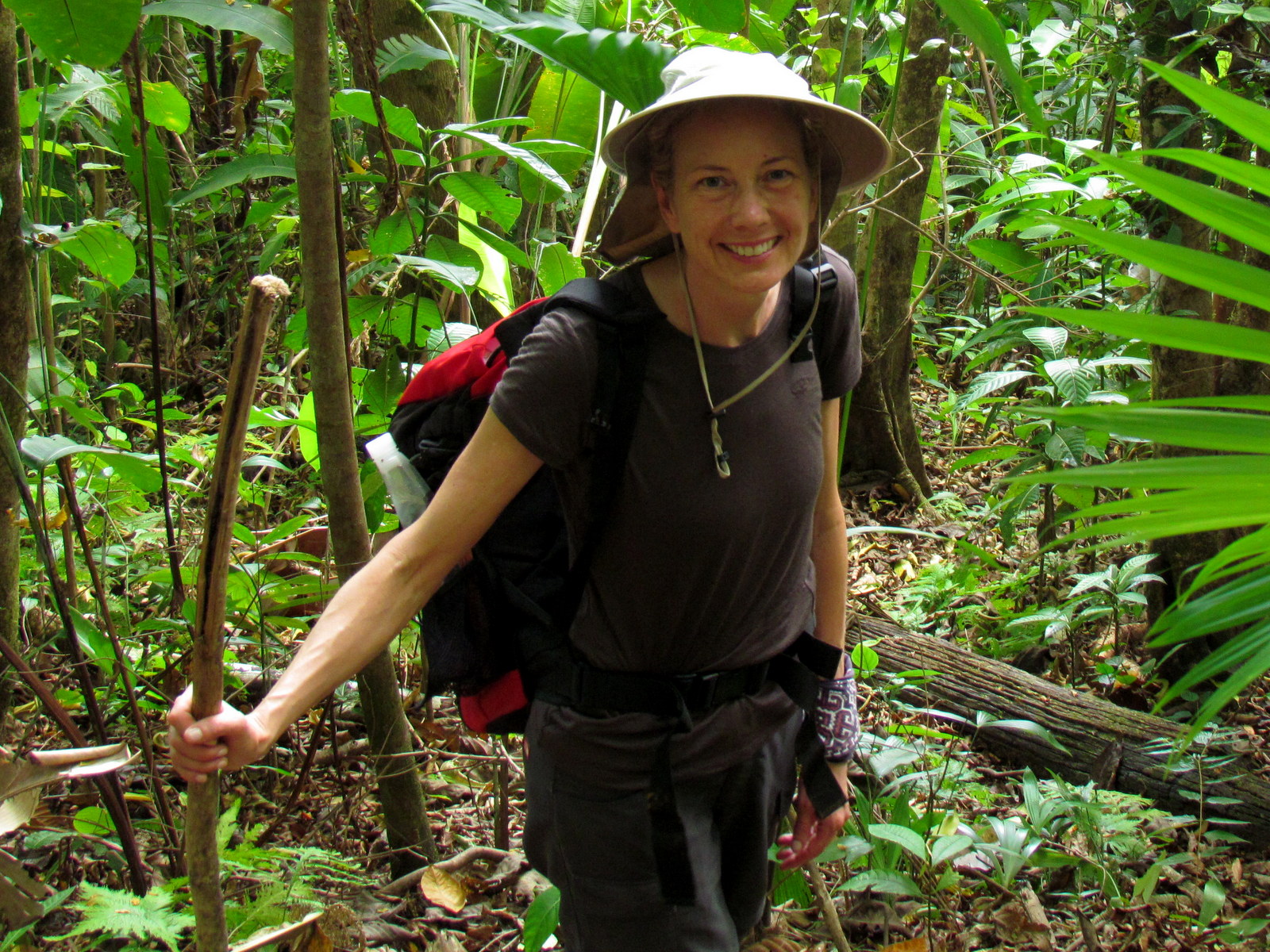
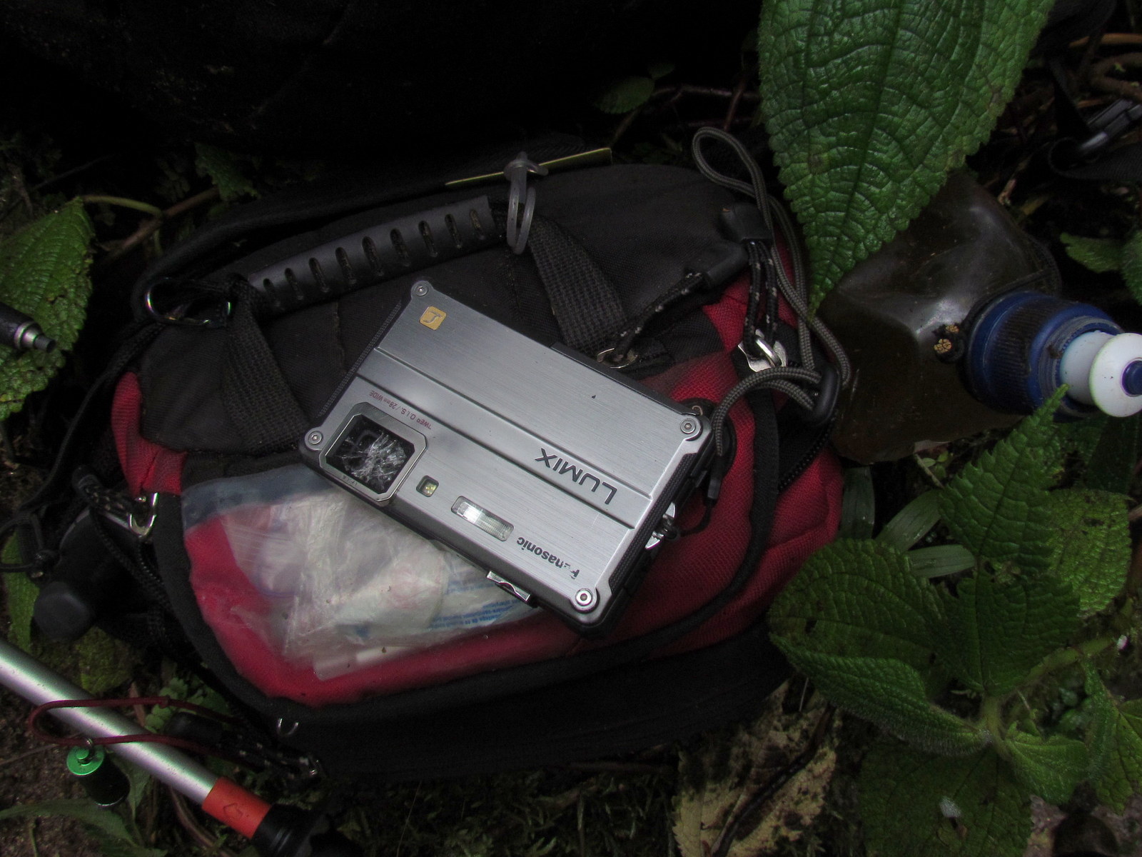
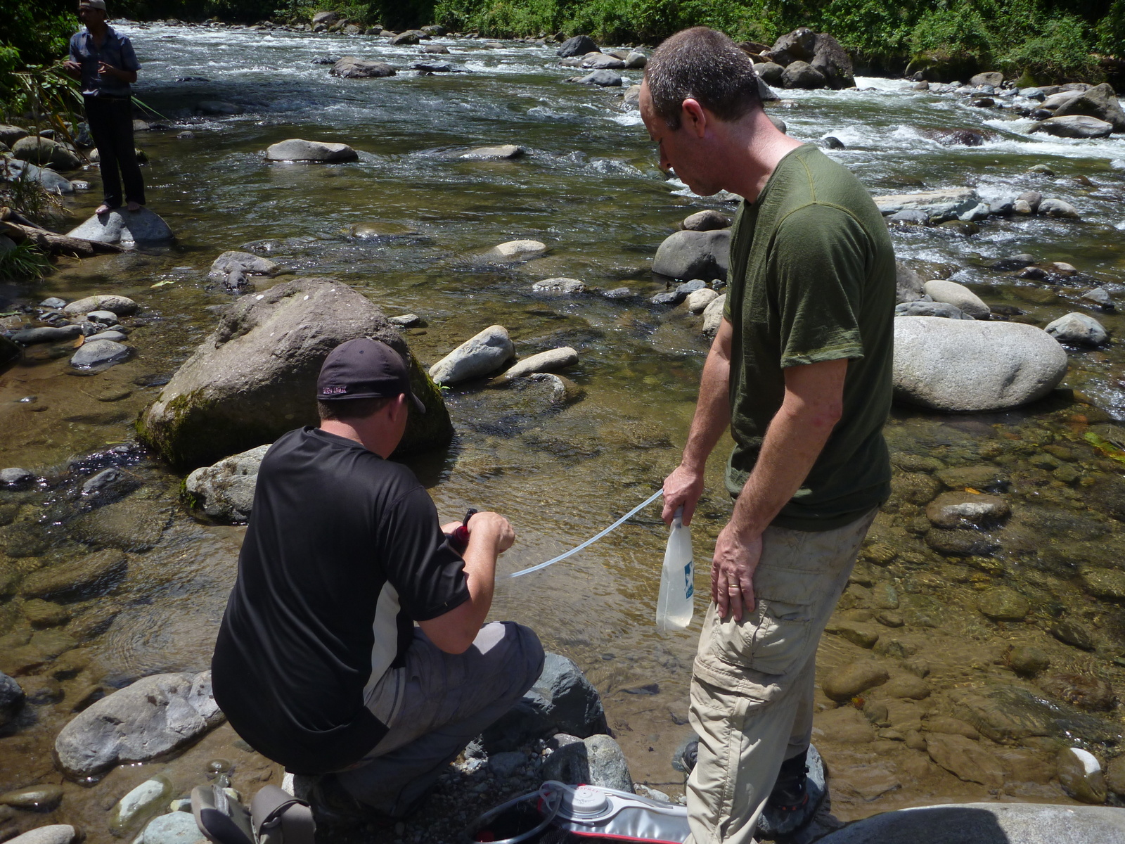
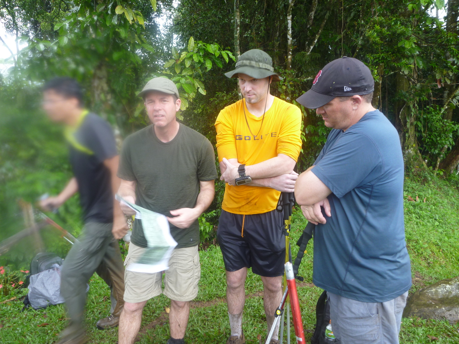
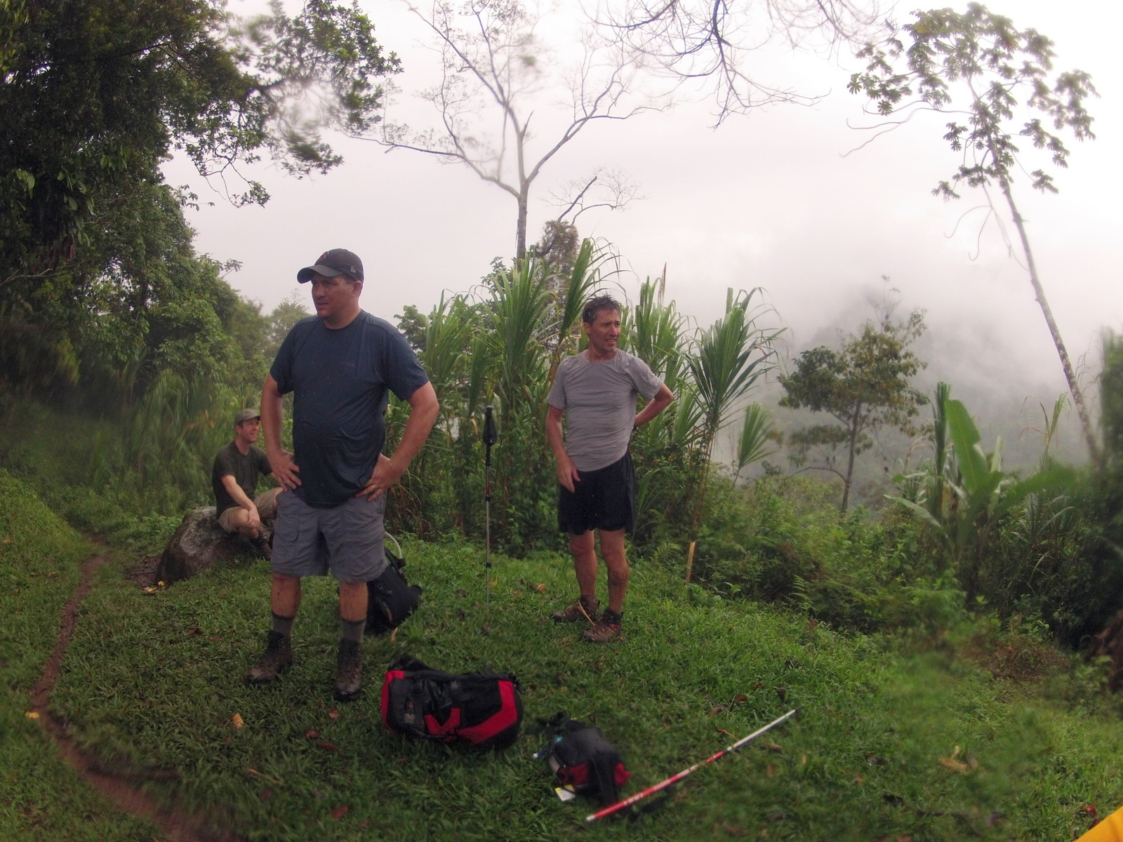
There are photos of each class of foot travel below and hundreds more scattered around Costa Rica Guide.

Volcan Arenal from the trail up Cerro Chato
Most of the time this was the view along the trail. It was extremely steep, muddy and slick so we were looking a few feet a head to plan the next step or two.
Typical view while climbing – Most of the time this was the view along the trail. It was extremely steep, muddy and slick so we were looking a few feet a head to plan the next step or two.
Many trails in Costa Rica are paved or graveled like these between the hanging bridges at Tirimbina rainforest
Block path – Many trails in Costa Rica are paved or graveled like these between the hanging bridges at Tirimbina rain forest
Arenal volcano rises above the rainforest surrounding the rim of the crater of Cerro Chato
Lago Cerro Chato – Arenal volcano rises above the rain forest surrounding the rim of the crater of Cerro Chato
The vines between the hand cables and the foot cables helped stabilize the bridge
This was the last bridge we crossed before we had to start wading or swimming the rivers. The vines between the hand cables and the foot cables helped stabilize the bridge
Barefoot backpacking - Some moments you can only get by earning them with sweat. The only way to reach this stretch of beach in Corcovado is on foot because the surf is too dangerous to land boats
Barefoot backpacking – Some moments you can only get by earning them with sweat. The only way to reach this stretch of beach in Corcovado is on foot because the surf is too dangerous to land boats
Sendero Tucanes on the southern edge of Arenal Volcano National Park
Sometimes it's tough to spot the hiker in the photos and sometimes it's hard to see your companions when you're on the trail. Many times I know they're within a few meters, can hear them talking and still can't see them.
Sometimes it’s tough to spot the hiker in the photos and sometimes it’s hard to see your companions when you’re on the trail. Many times I know they’re within a few meters, can hear them talking and still can’t see them.
Returning on the south loop of the main crater trail, Volcán Turrialba National Park
The infamous rubber boots (usually available to borrow from eco lodges) are ideal for this muddy trail in Gandoca Manzanillo Wildlife Refuge. Just be careful or they will get pulled right off your feet by the suction of the mud
The infamous rubber boots (usually available to borrow from eco lodges) are ideal for this muddy trail in Gandoca Manzanillo Wildlife Refuge. Just be careful or they will get pulled right off your feet by the suction of the mud.
Walking up the Rio Tigre on the Osa Peninsula
Walking up the Rio Tigre on the Osa Peninsula.
We frequently crossed the same river dozens of times and it was completely hopeless to try to keep your feet dry
The “trail” – We frequently crossed the same river dozens of times and it was completely hopeless to try to keep your feet dry.
Erosion is a serious problem - this trail started out at shoulder height but when the water found it as a path downhill it quickly cut a deep channel
Erosion is a serious problem – this trail started out at shoulder height but when the water found it as a path downhill it quickly cut a deep channel
Taking down the tents and breaking camp the morning of day five
Breaking camp – Taking down the tents and breaking camp the morning of day five of the transcontinental trek.
Sometimes trails in Costa Rica are elevated onto "puentes colgantes" or suspension bridges to get you closer to the treetops where most of the action is in the rainforest
Sometimes trails in Costa Rica are elevated onto “puentes colgantes” or suspension bridges to get you closer to the treetops where most of the action is in the rainforest
Tour Group climbing onto the lava flow on the Sendero Coladas.
Tour Group climbing onto the lava flow on the Sendero Coladas at Arenal
Heading towards La Leona and Madrigal along playa Carate after crossing the Osa Peninsula on the little known Sendero de Oro trail along the south eastern boundary of Corcovado
Northeast end of Playa Manzanillo
Suzy along side the trail - somewhere in southern Costa Rica
Hiking always makes Sue smile – along side the trail somewhere in southern Costa Rica
We were one porter shy so I doubled up on packs for the flat five km walk to Coroma
We were one porter shy so I doubled up on packs for the flat five km walk to Coroma on the transcontinental trek
Orero camp - Artisanal miners live in these wood framed tarp roofed camps along the Rio Piedras blancas on the Osa peninsula
Orero camp – Orero camp – Artisan miners live in these wood framed tarp roofed camps along the Rio Piedras blancas on the Osa peninsula
Setting out on the Sendero de Oro on the southeastern Osa Peninsula
There was no gradual thinning the clearcut just started at the park boundary
There was no gradual thinning the clearcut just started at the park boundary on the transcontinental trek
We were both relieved and disappointed to find that the Río Tapari water level was low enough that we could just walk across without setting up a roped traverse.
We were both relieved and disappointed to find that the Río Tapari water level was low enough that we could just walk across without setting up a roped traverse (transcontinental).
The other Brazo of the Río Tigre. We followed the northern fork of the rive for an hour or so on a hike before setting out the next morning on the southern fork to trek to Carate
There goes the other pole. The first Black Diamond broke on the second day and the second on day five. Black Diamond warns "Read all warnings and instructions insofar as aluminum poles have limitations resulting from denting and other effects of impacts as well as strength limitations which could result in structural failure."
There goes the other pole. The first Black Diamond broke on the second day and the second on day five. Black Diamond warns “Read all warnings and instructions insofar as aluminum poles have limitations resulting from denting and other effects of impacts as well as strength limitations which could result in structural failure.”
It's misty at the top of the main crater trail, Volcán Turrialba National Park
It’s misty at the top of the main crater trail, Volcán Turrialba National Park
Trekking across the peninsula we only carried one computer in a dry bag
Trekking across the Osa peninsula we only carried one computer in a dry bag.
Main crater trail, Volcán Turrialba National Park
Hikers in the crater of Volcán Turrialba
Hikers in a crater of Volcán Turrialba
The trans Talamanca crew in a little opening in the elfin cloud forest at the top of La Amistad International Peace park. We were amazed that the sun came out and even more amazed that there wasn't a breath of wind.
The trans Talamanca crew in a little opening in the elfin cloud forest at the top of La Amistad International Peace park. We were amazed that the sun came out and even more amazed that there wasn’t a breath of wind.
I honestly don't remember what Sue and Sarah were looking at along the Mirador trail Hacienda Barú National Wildlife Refuge but it was probably pretty cool. Usually is there.
I honestly don’t remember what Sue and Sarah were looking at along the Mirador trail Hacienda Barú National Wildlife Refuge but it was probably pretty cool. Usually is there.
Gandoca Manzanillo Wildlife refuge
Especially in Private Reserves the trails are often improved to make walking easy and prevent erosion
Especially in Private Reserves the trails are often improved to make walking easy and prevent erosion.
We reached the Pacific at Playa Carate on our Osa trans-penisular trek
We reached the Pacific at Playa Carate on our Osa trans-penisular trek.
A good guide will enhance your experience when walking in Costa Rica
A good guide will enhance your experience when walking in Costa Rica.
Our first camp was in the front yard of one of the porters homes in Coroma
Caribbean camp – Our first camp on the transcontinental trek was in the front yard of one of the porters homes in Coroma.
Once we left the protection of the national park the devastation was nearly unbelievable
Once we left the protection of Amistad national park the devastation was nearly unbelievable
Justin running for his hat. It blew off and went about a quarter mile before it wedged in a rock. He's a true Red Sox fan because I don't think I could have mustered the energy to run across the hillside for a big pile of gold bars by that time
Justin running for his hat. It blew off and went about a quarter mile before it wedged in a rock. He’s a true Red Sox fan because I don’t think I could have mustered the energy to run across the hillside for a big pile of gold bars by that time.
Once you exit La Amistad on the Pacific side the clear cutting and cow pies (see by my foot) start.
The moss and river rocks were slippery but as long as the canyon wasn't too steep traveling upstream was much easier than trying to move through the dense vegetation.
The moss and river rocks were slippery but as long as the canyon wasn’t too steep traveling upstream was much easier than trying to move through the dense vegetation.
Shockproof for a 3 meter drop, but apparently not shockproof against a 170lb guy falling on his ass 35 times in a row with the camera in his pack. I dented the case and broke the crystal in front of the lens, but after chipping it out the camera worked fine...it just isn't waterproof anymore.
Shockproof for a 3 meter drop, but apparently not shockproof against a 170lb guy falling on his ass 35 times in a row with the camera in his pack. I dented the case and broke the crystal in front of the lens, but after chipping it out the camera worked fine…it just isn’t waterproof anymore.
Filtering water - later in the trek high up in the Talamanca mountains I started to trust the water straight out of the streams and drank it with no ill effects.
Filtering water – later in the transcontinental trek high up in the Talamanca mountains I started to trust the water straight out of the streams and drank it with no ill effects.
This giant tree had recently crashed down across the trail. It took about twenty minutes to work our way across and through the 100 meter wide jumble of branches and epiphytes that had been in the canopy a few days before
Crossing a tree fall – This giant tree had recently crashed down across the trail. It took about twenty minutes to work our way across and through the 100 meter wide jumble of branches and epiphytes that had been in the canopy a few days before (transcontinental)
After looking at several thousand pictures I've decided it's nearly impossible to get a photo that really shows how steep the terrain we were following was. This one that Andy took looking back at the trail he'd just come down gives a idea.
After looking at several thousand pictures I’ve decided it’s nearly impossible to get a photo that really shows how steep the terrain we were following was. This one that Andy took looking back at the trail he’d just come down gives a idea.
Not the look you like to see on the map reader's face
Navigating? – Not the look you like to see on the map reader’s face
Andres cruises to the top of Fila Piste. A 320 meter (1,050 foot) climb in just over a kilometer. The first 100 meters of elevation gain comes is just over 100 meters of horizontal or about a 45 degree angle. Justin recalled from his days in construction that's equvalent to a 12:12 roof pitch... However you express it, it was steep.
Andres cruises to the top of Fila Piste. A 320 meter (1,050 foot) climb in just over a kilometer. The first 100 meters of elevation gain comes is just over 100 meters of horizontal or about a 45 degree angle. Justin recalled from his days in construction that’s equvalent to a 12:12 roof pitch… However you express it, it was steep.
Breaks were always on the top of a ridge or peak or along side a river or stream before starting a monster climb to the top of a a ridge or peak. Come to think of it, breaks couldn't have been anywhere else because every inch of it was nearly straight up or down.
Breaks were always on the top of a ridge or peak or along side a river or stream before starting a monster climb to the top of a a ridge or peak. Come to think of it, breaks couldn’t have been anywhere else because every inch of it was nearly straight up or down.
Andy coming up through the trees on day two of the trans Talamanca trek when there was still a trail to follow.
Whenever the riverbank became too steep or rugged to follow we climbed almost ladder steep straight up and over ridges
Climbing out of the valley – Whenever the riverbank became too steep or rugged to follow (ie when it was sheer cliffs) we climbed almost ladder steep straight up and over ridges.
Yes, there's a hiker in the middle of this picture!
Tiny hiker – Yes, there’s a hiker in the middle of this picture!


Ray & Sue

Cost · ToDo · Plan·Costa Rica Guide logo animated·Top10 · Best Time · Contact


toll free Costa Rica travel desk!
1-866-816-0197

CONTACT US

Photos
  • Tortuguero Beach – National Park & Sea Turtles Nesting
  • Tortuguero Village & Canals Photos
  • Guayabo National Monument
  • San Gerardo de Dota National Park
  • Karen Mogensen Nature Reserve
  • Lower Savegre & Rafiki
  • Savegre National Park
  • Pacuare River Rafting Overnight
  • Portalón Estero Rey National Wildlife Refuge
  • Hacienda Barú National Wildlife Refuge Photos
  • Rainmaker Biological Reserve Photos
  • Hills of Portalón Wildlife Refuge
  • Funny, Quirky, Weird – Costa Rica Humor
  • Bahía Junquillal National Wildlife Refuge Photos
  • Playa Hermosa-Punta Mala National Wildlife Refuge Photos
  • La Cangreja National Park Photos
  • Pacuare Gilligan’s Island
  • Rincón de la Vieja – Hacienda Guachipelín Photos
  • Quirky, Weird, Funny – Costa Rica Humor
  • Lankester Botanical Gardens Photos


Costa Rica Guide on facebook
Costa Rica Guide on Facebook