Costa Rica Guide

travel information and maps

  • Vacation Planning
  • Best Trips Ever >>
  • Costa Rica
    • Top Ten
    • Best Time to Visit Costa Rica
    • Things To Do in Costa Rica
    • Maps
    • Transportation
      • Rental Cars
        • Advantages of Driving
        • Disadvantages Driving
        • Code of the Road
        • Navigation & Drive Time
        • Rental Insurance Explained
        • Can’t Get There
      • Airports
        • Flights Worth Taking
        • LIR or SJO
        • Airfare Deals
        • Domestic Airlines
        • Domestic Air Tips
      • Taxis
      • Bus Schedule
    • Food
      • Typical Menu
      • Batidos & Refrescos
      • Gallo Pinto
      • Tamales
      • Ceviche
      • Ensalada Palmito
      • Sopa Negra
      • Vinagre Chilera
    • Weather
      • Seasons in Costa Rica
      • Current Storms
    • Regions
  • Nature & Wildlife
    • National Parks
    • Wildlife Refuges
    • Ecozones
    • Best Places to See Wildlife in Costa Rica
  • Practical Info
    • Health & Safety
      • Health Tips
        • Altitude Sickness
        • Chikungunya
        • Natural Disasters
      • Crime
        • Cons & Rip-offs
        • Corruption
        • Violent Crime
    • Will My Phone Work?
    • Packing List
    • Passports & Docs
    • Money – How To?
    • How Much Does it Cost?
    • Travel Tips
  • Stories
    • Photos
    • Trek Across Costa Rica
    • Sendero de Oro
    • Quebrada Gata
    • Bicycle Touring
    • About Us
  • Move to Costa Rica
  • Free Travel Pack

· Copyright © 2018 ·

Beach Photos – Osa & Dulce

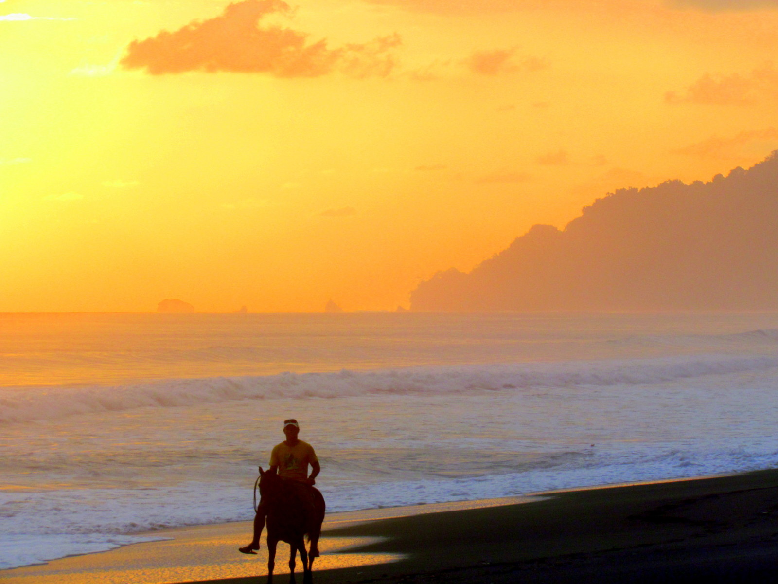
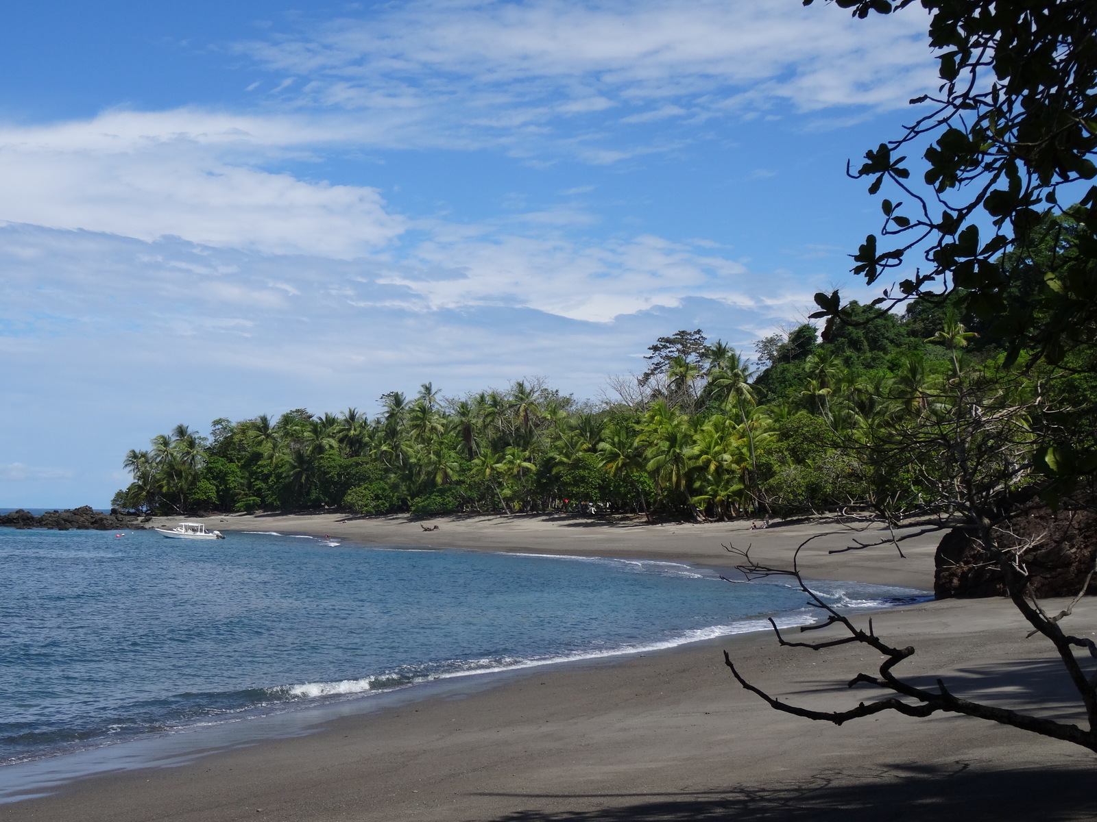
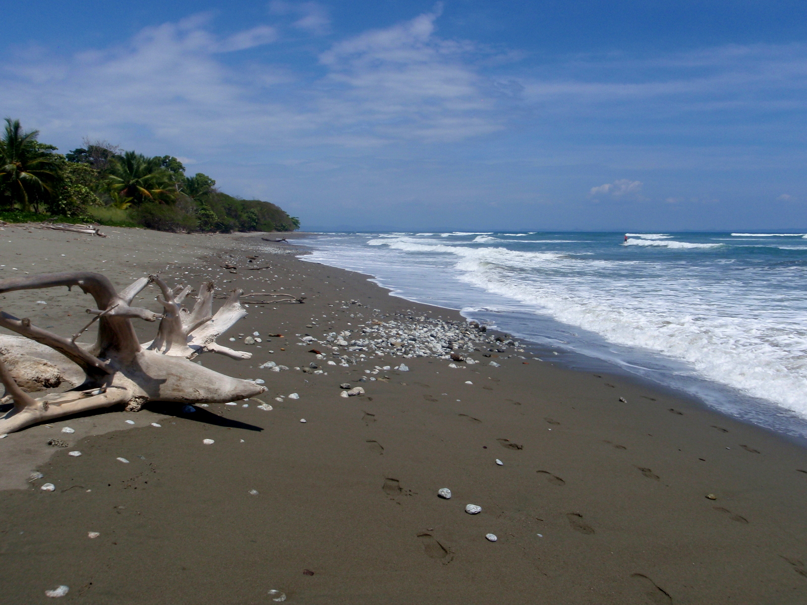
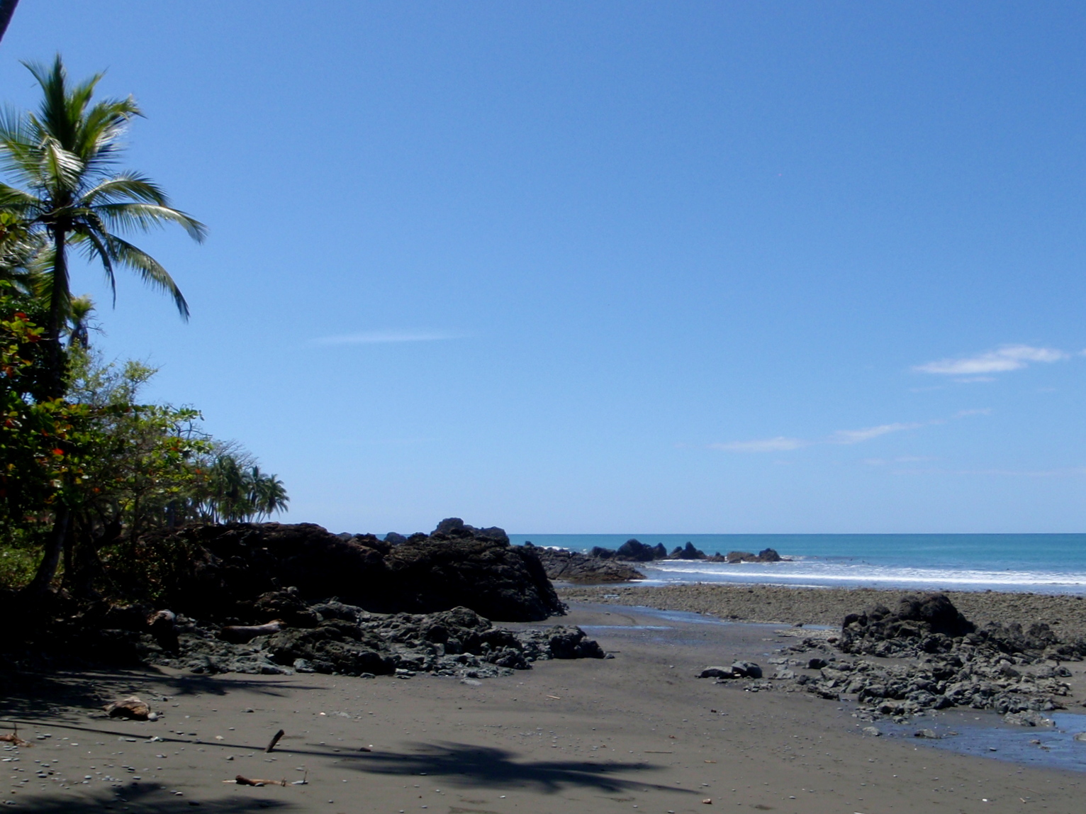
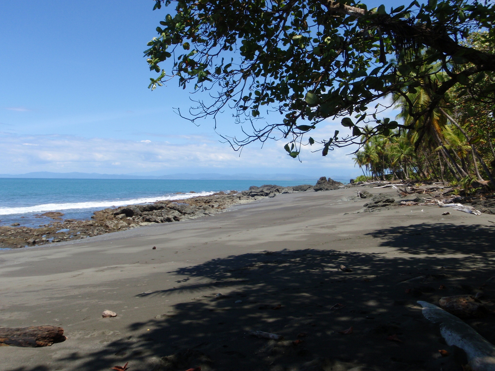
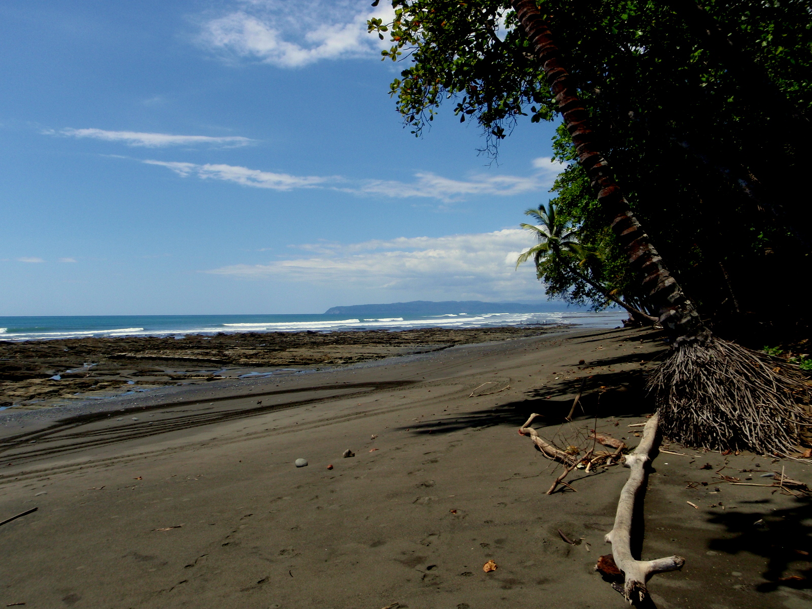
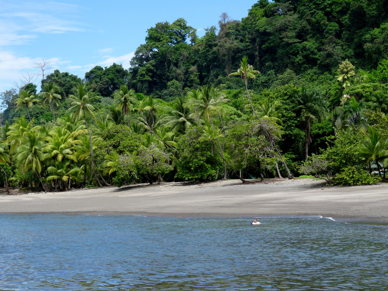
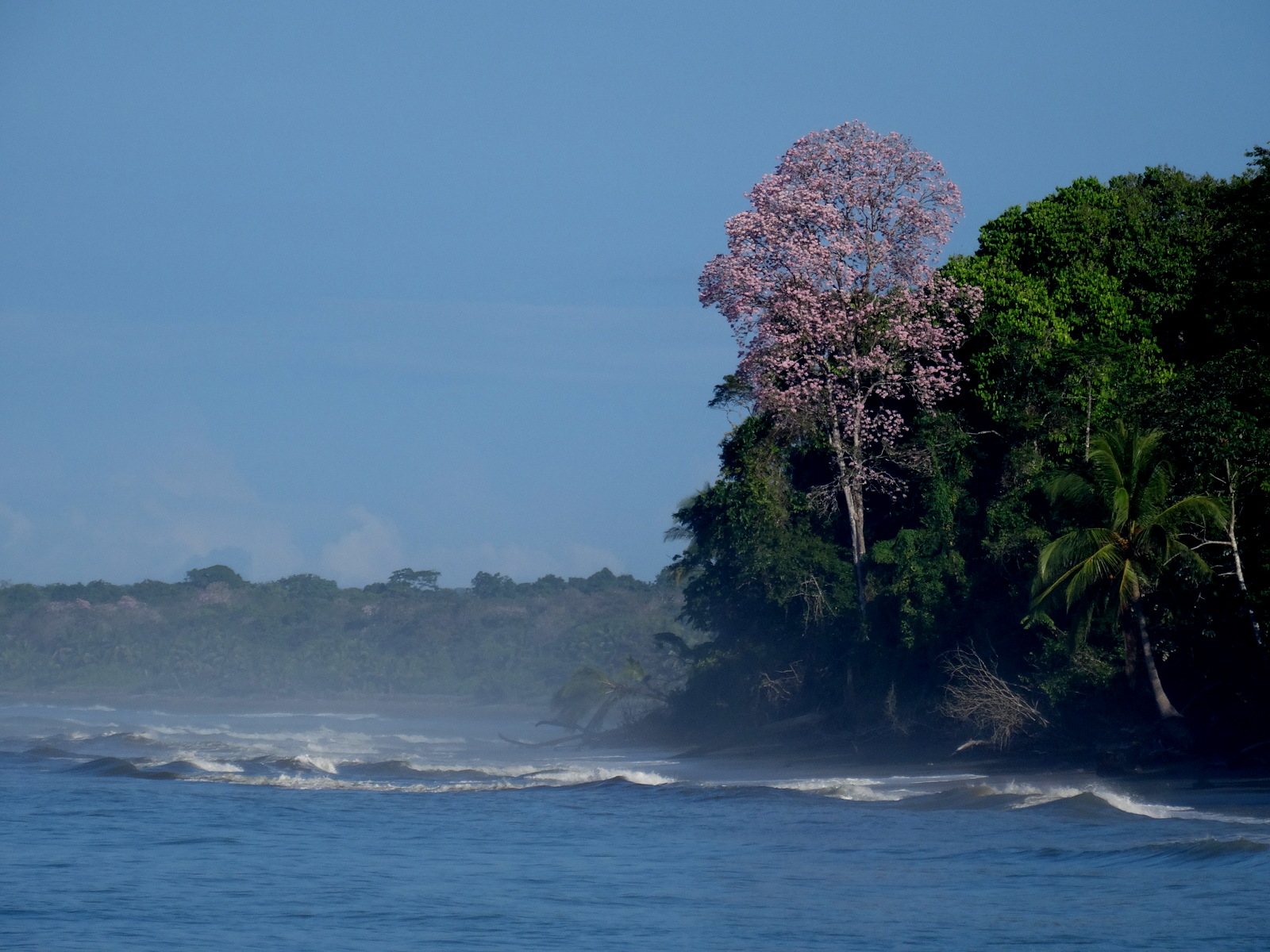
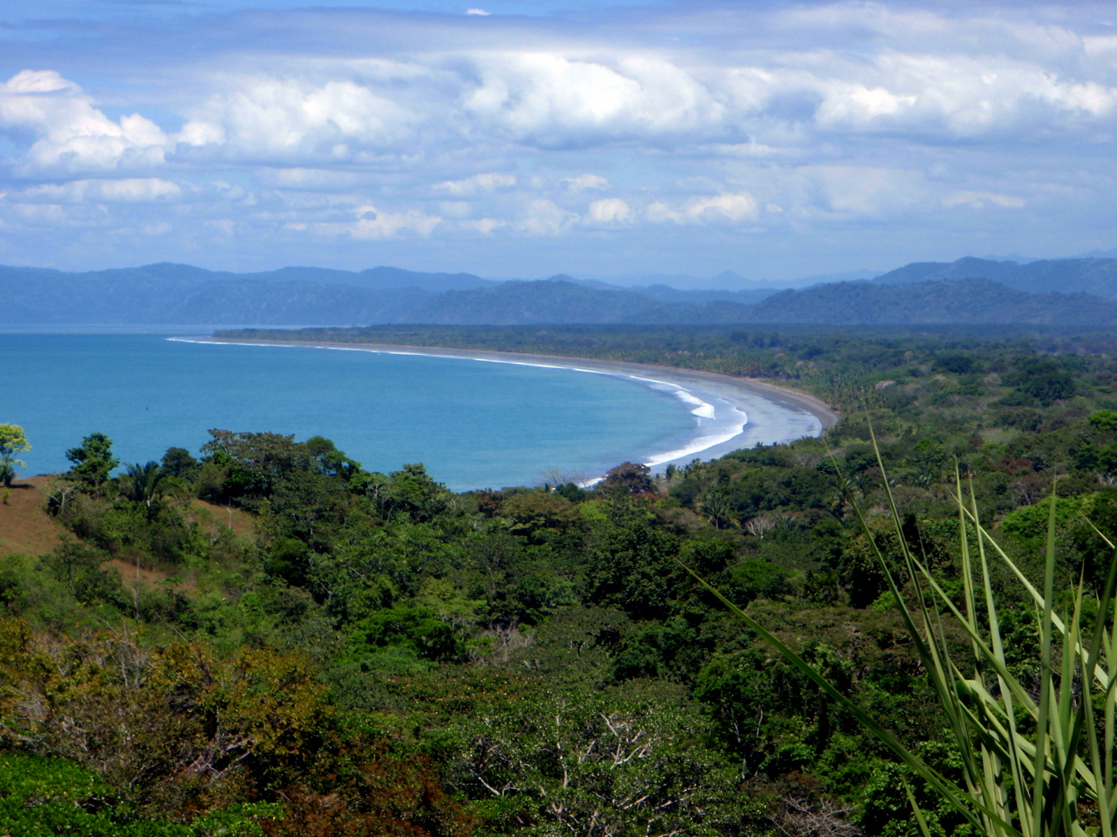
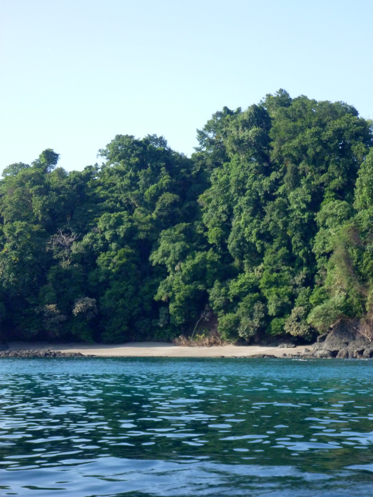
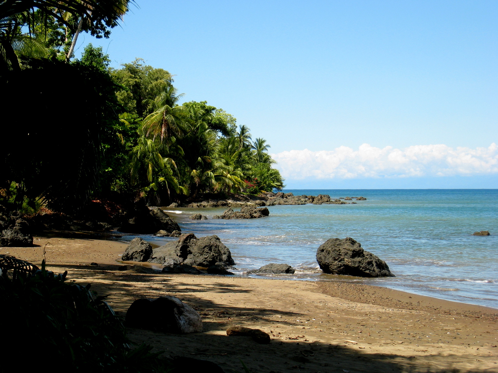
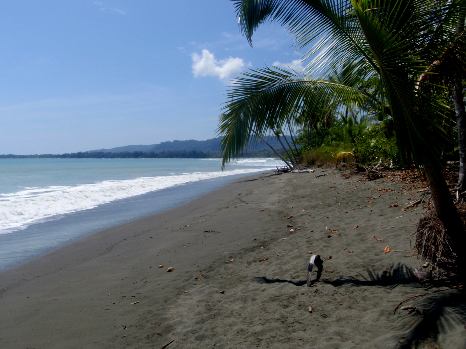
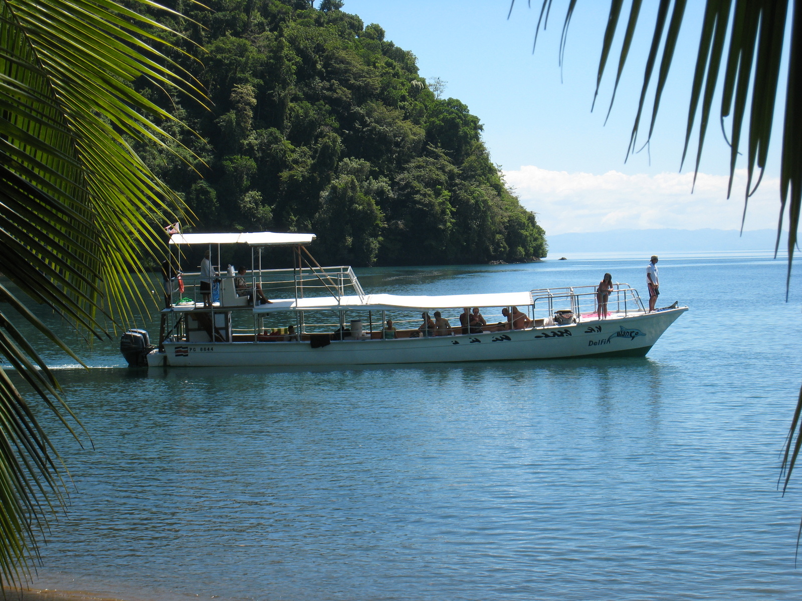
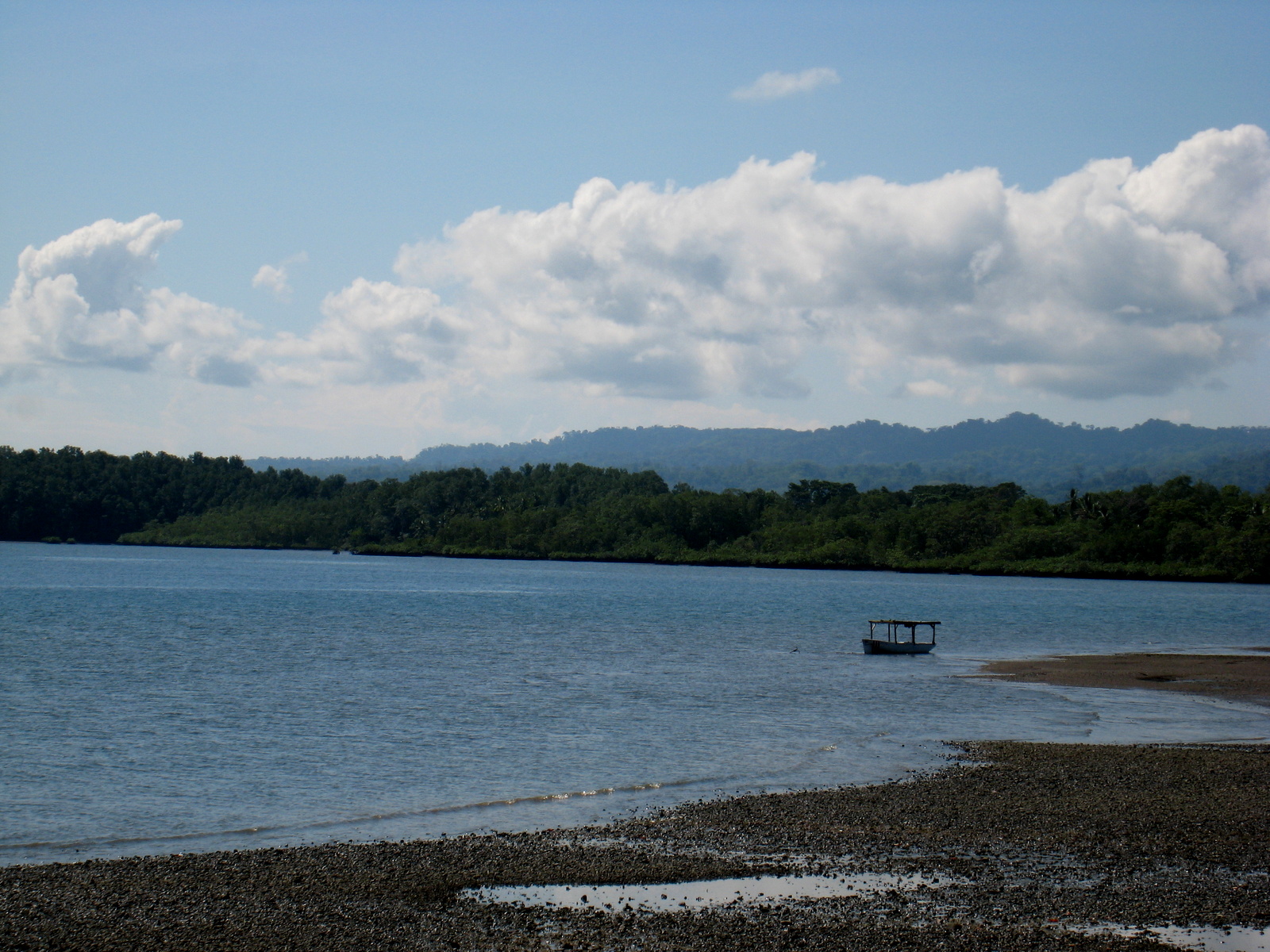
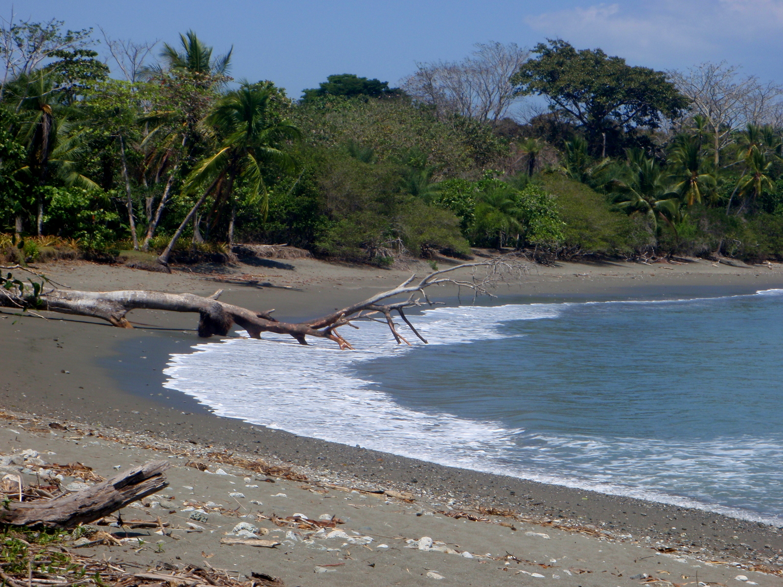
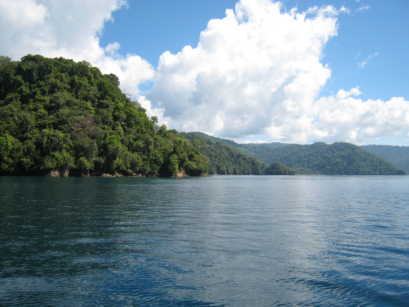
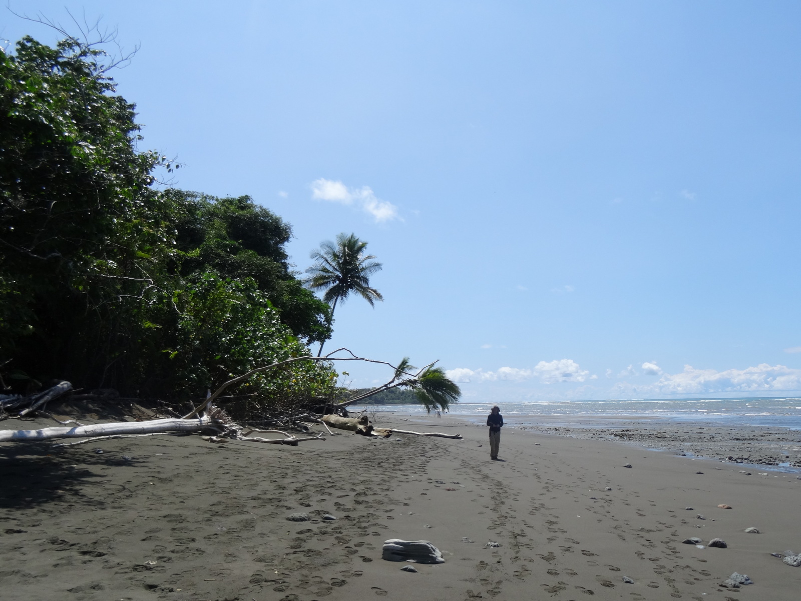
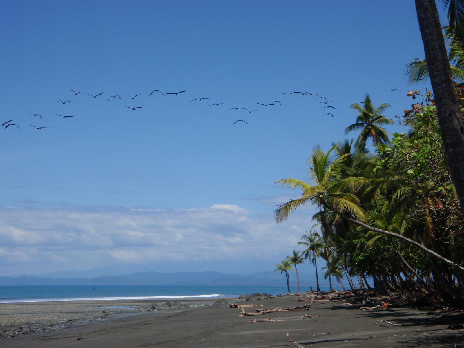
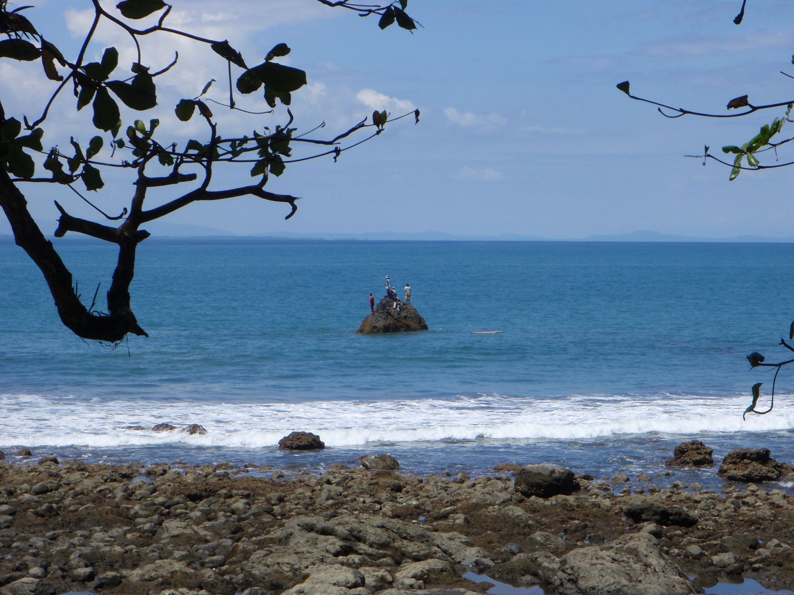
The beaches of the Osa Peninsula and Golfo Dulce on the south Pacific side of Costa Rica are the wildest and most beautiful in the country. North near Bahia Drake playas Colorada, San Josecito, San Pedrillo and others are in coves protected by rocky points and reefs. Llrona, Corcovado and Sirena beaches are long and straight and with no protection from the full strength of the Pacific surge too rough for boats.  Another point at the south end of Sirena provides enough protection to get small craft in and out of the ranger station there.  Continuing around the peninsula the only transportation choice is on foot until you reach the 4WD road and airstrip at Carate.

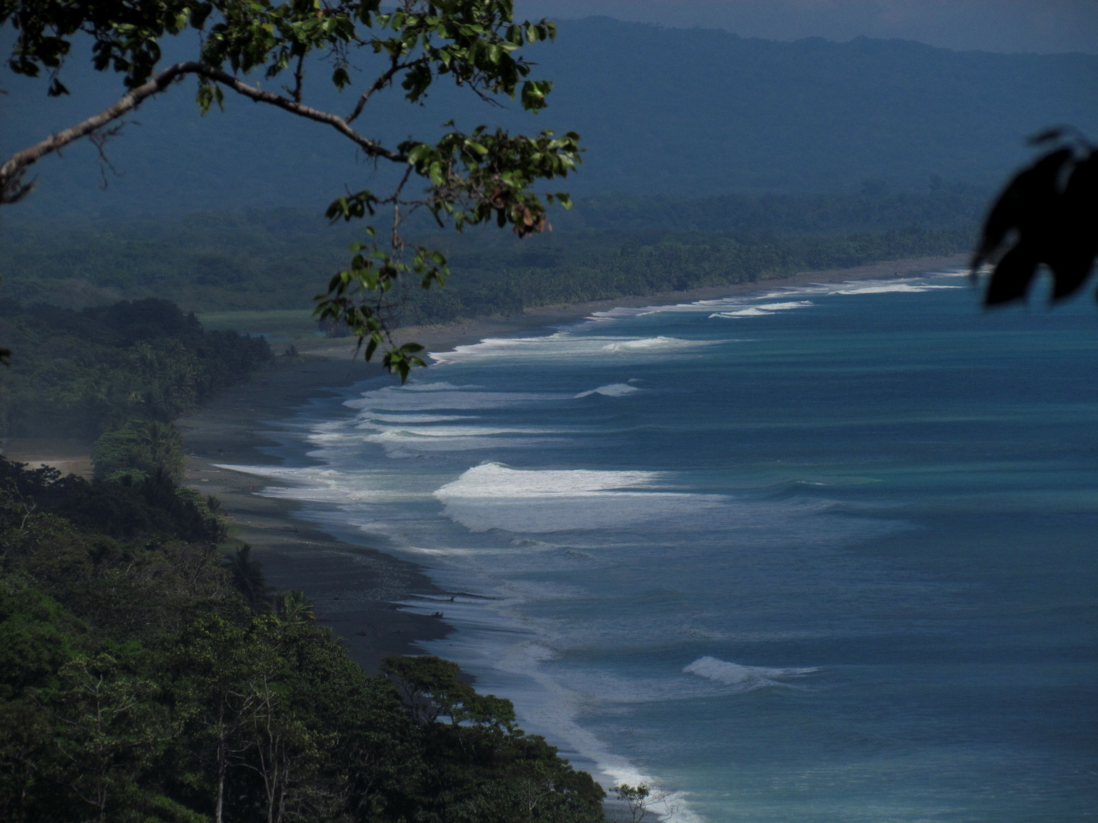
Inside the Golfo Dulce the beaches east from Carate and north past Cabo Matapalo are calmer and have more consistent waves making the point and playas Sombrero, Tamales, and Zapote one of the best stretches of uncrowded surfing anywhere.

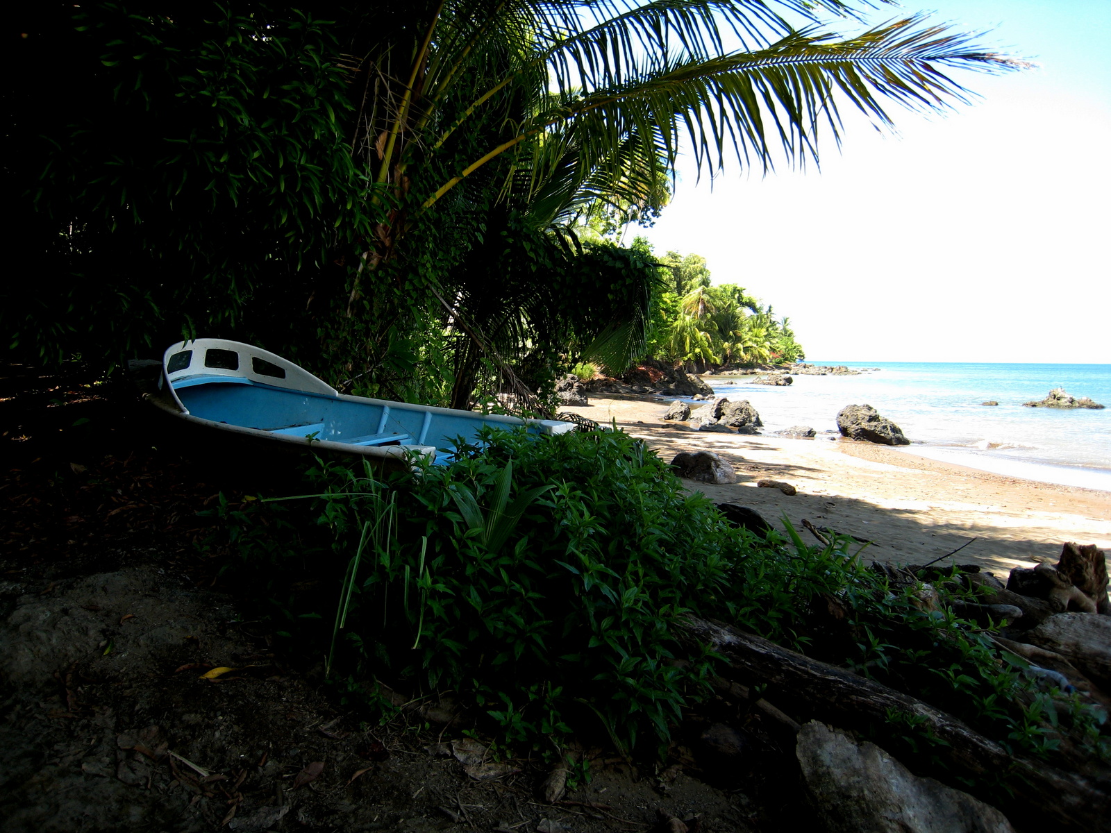
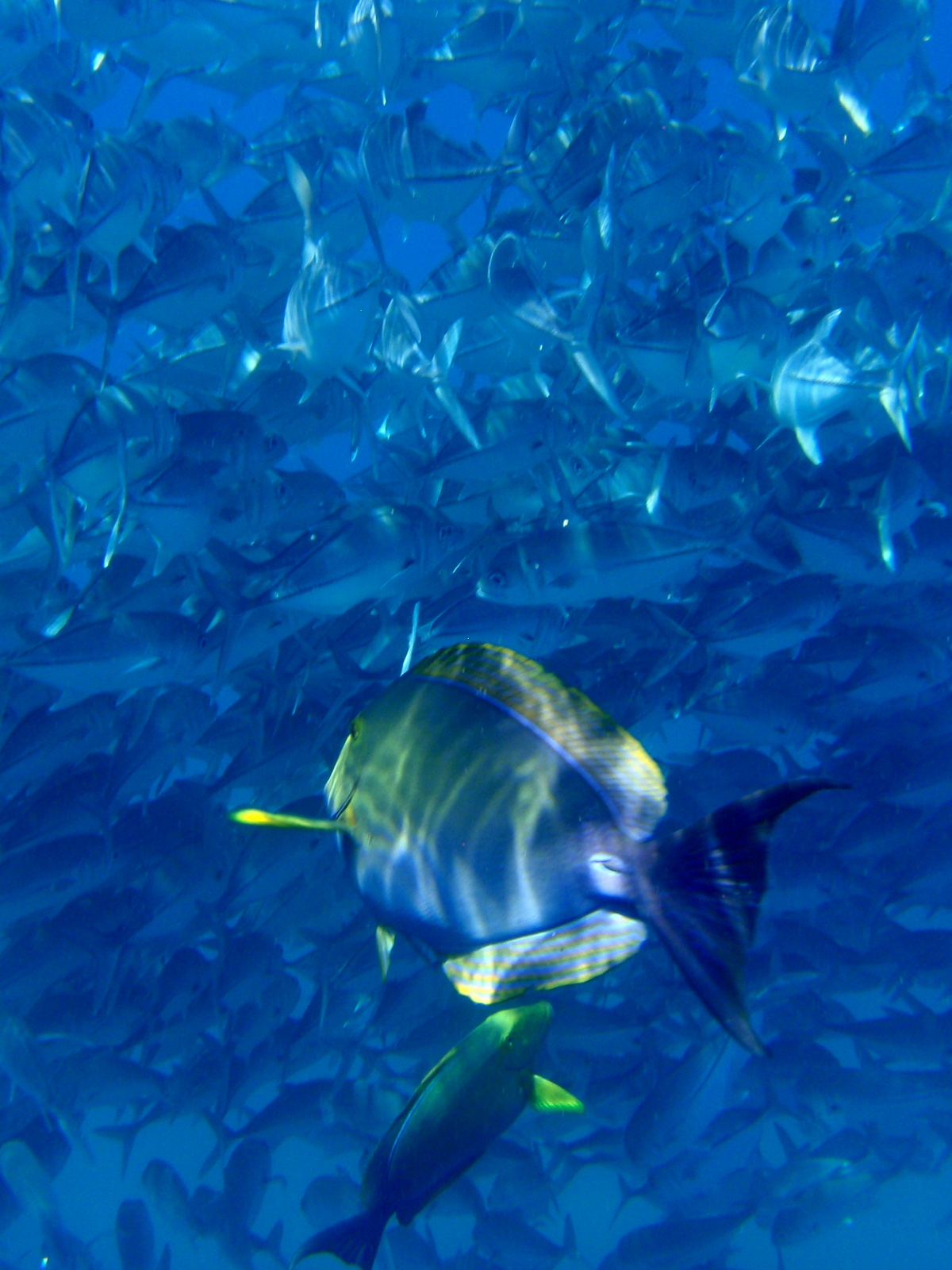
On the  mainland side of the gulf Zancodo, Pavones, and playa Rio Claro are even more remote and include one of the longest lefts in the world.
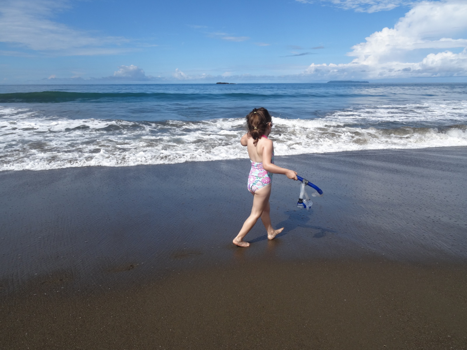
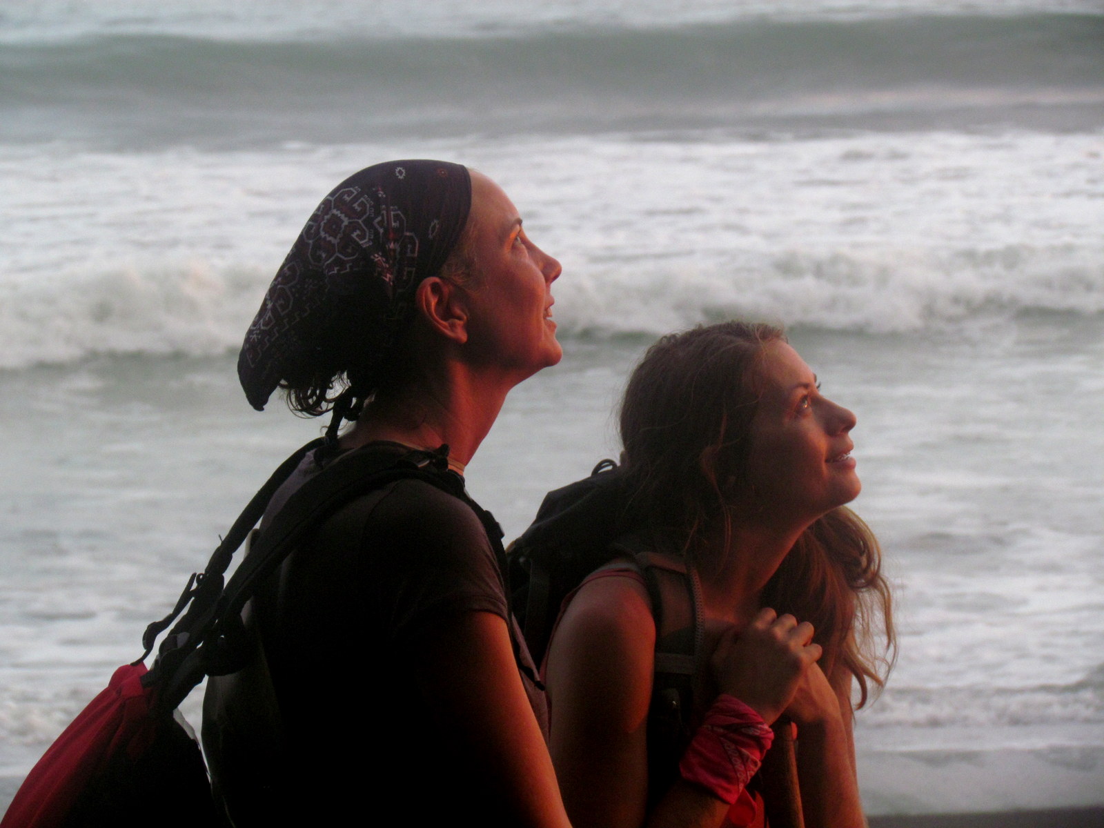
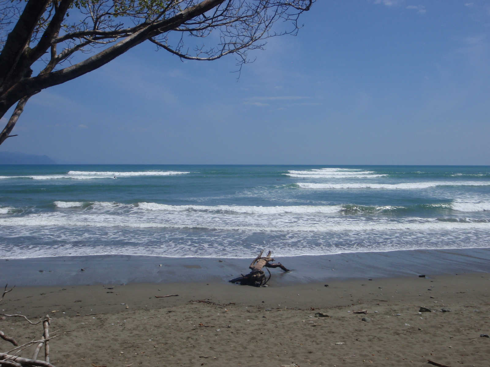
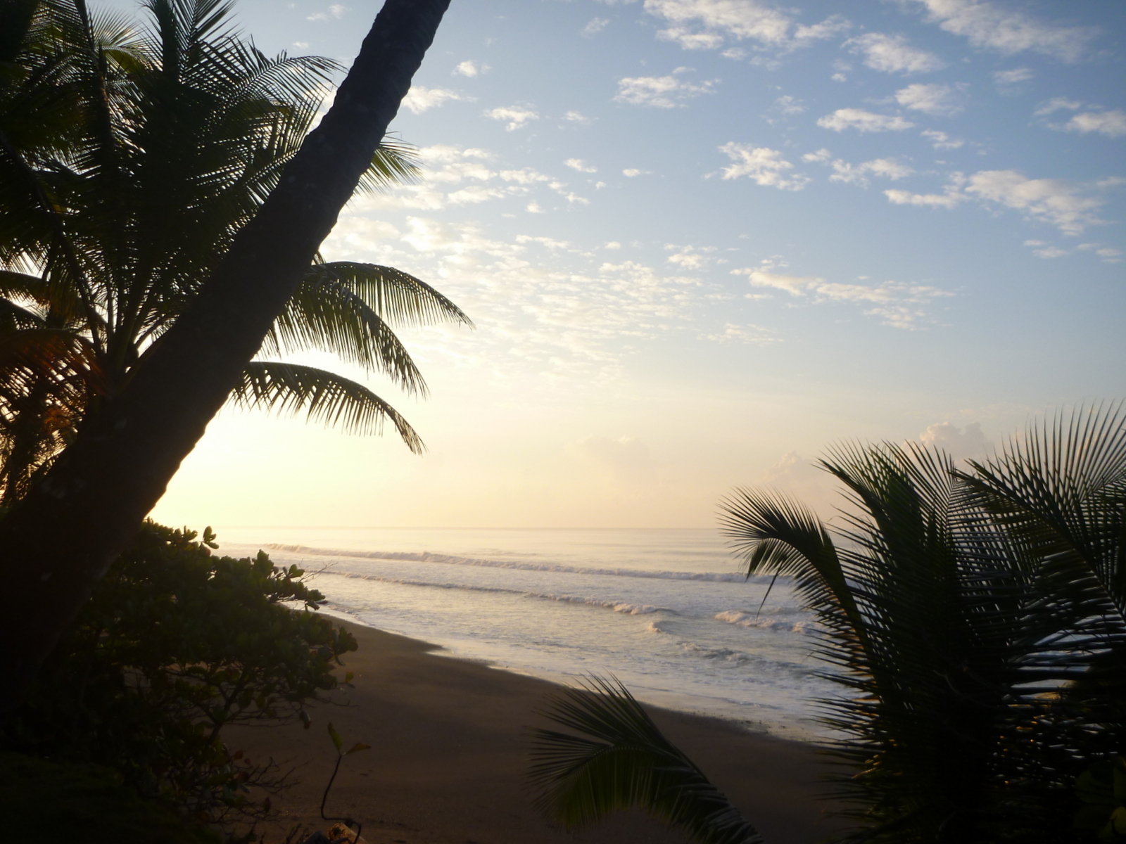
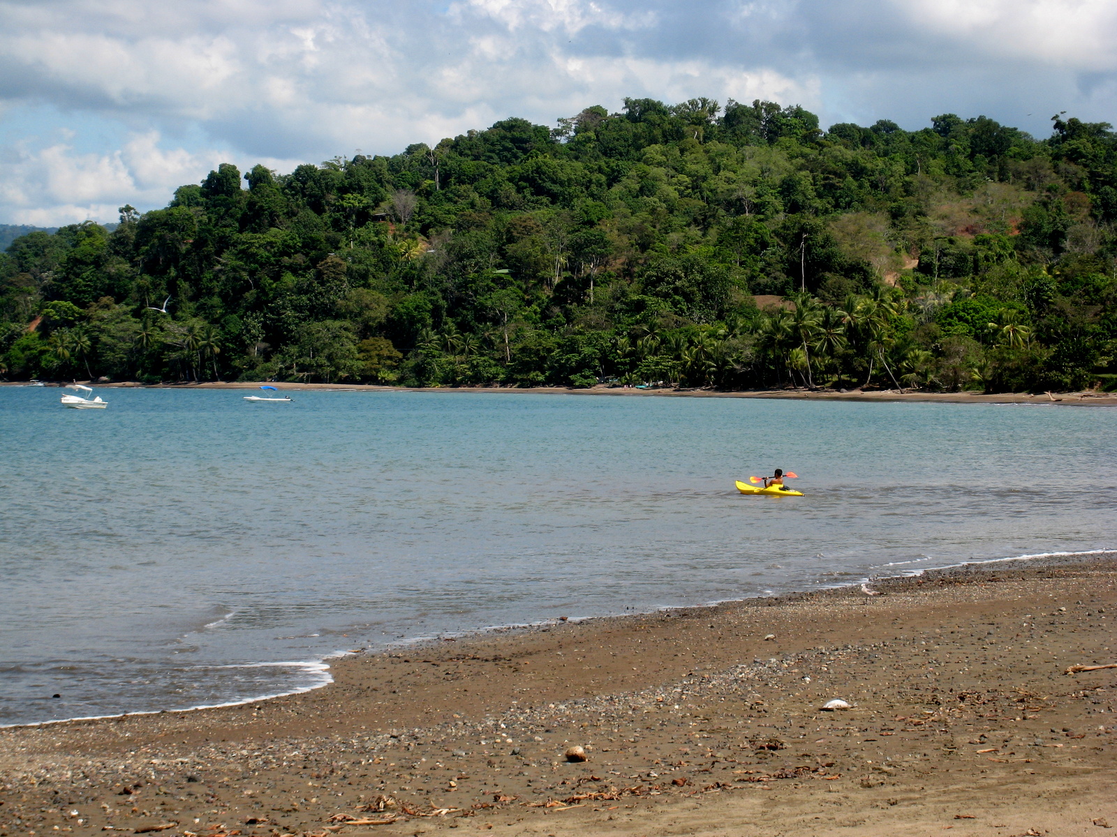
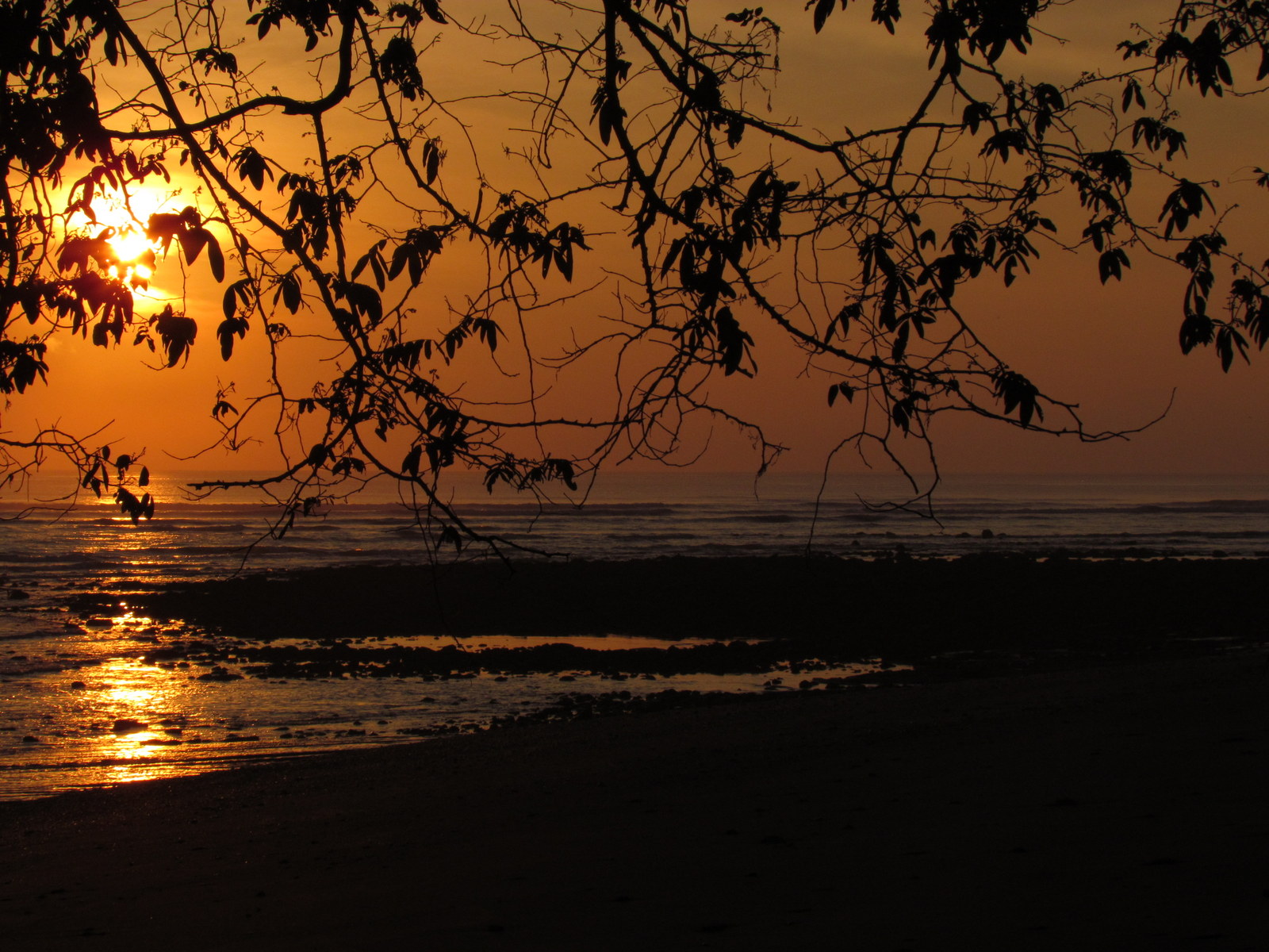
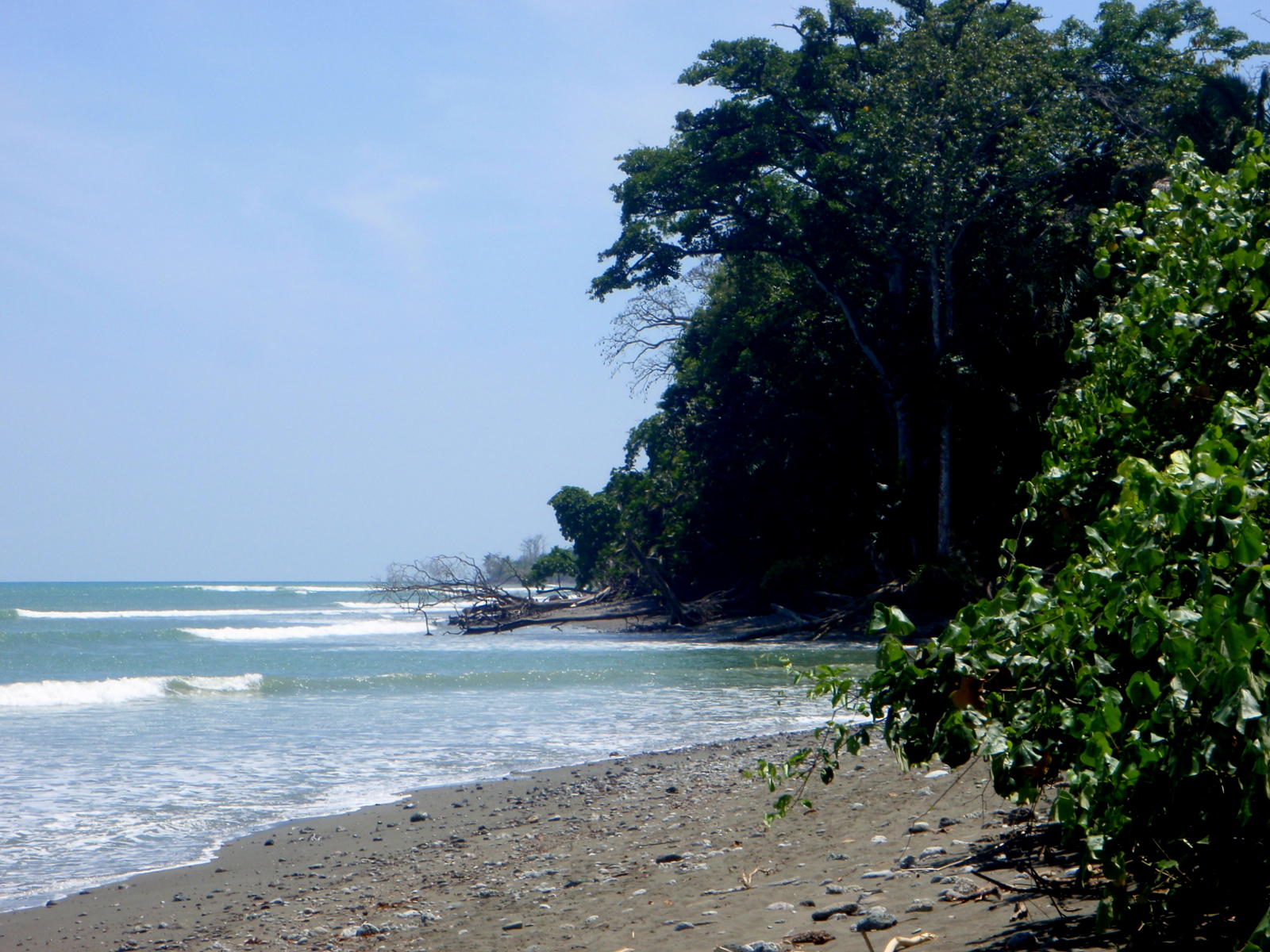
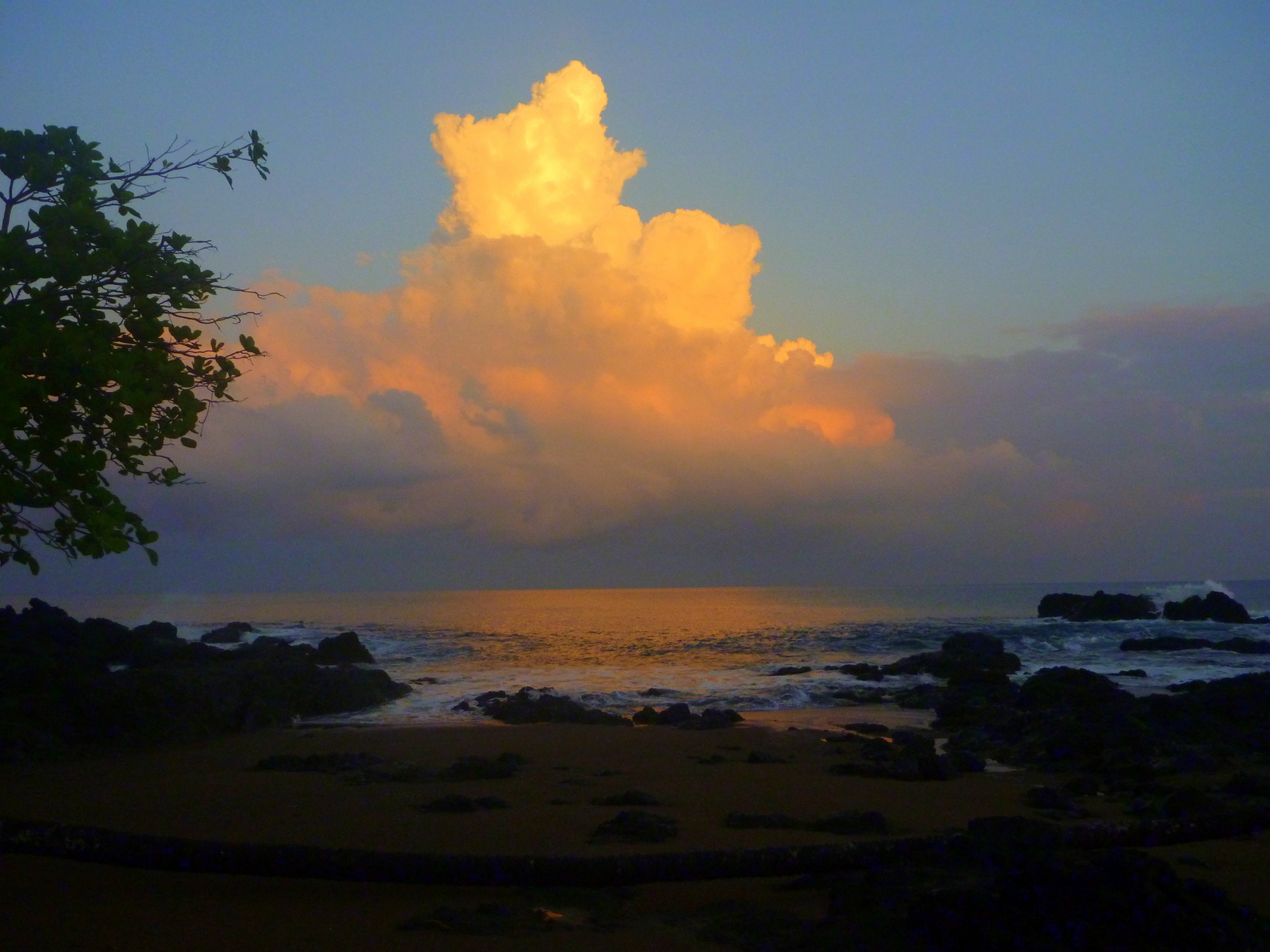
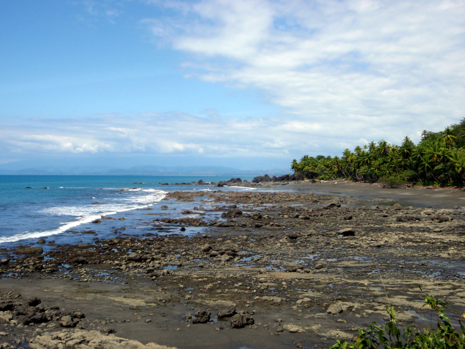
This photographic introduction should give you an idea why these are our favorites. Click on the thumbnails for a more detailed description, location and larger images.

Cleaner Wrasse working on a Parrot fish Cano Island
Pelicans over Playa Rio Claro (Pavones) and the Osa Peninsula on the horizon
Playa San Josecito
Playa San Josecito
Playa San Josecitio, Osa Peninsula south of Drake Bay
Pavones
Pavones is on the last peninsula to on the far southern end of Costa Rica.
Dolphins in the Gofo Dulce
Got snorkeling gear and ready to hit the water at playa San Josecito
Dawn at La Leona
Dawn at La Leona
Pelicans above the surf playa Carate
Drake Bay
Drake Bay
Mini beach on Isla del Cano off the coast of the Osa Peninsula
Playa Banco
Playa Banco
The Mirador on the opposite (south) side of the island from the snorkeling beach. The Osa Peninsula and Corcovado National Park are on the horizon at left
Mirador Cano Island – The Mirador on the opposite (south) side of the island from the snorkeling beach. The Osa Peninsula and Corcovado National Park are on the horizon at left
Flowering tree along Playa Corcovado
Playa Tamales faces the Golfo Dulce from the Osa
Playa Tamales is on the horn of the Osa Peninsula between Jiménez and Cabo Matapalo south of Punta Tigra facing Potrero across the Gulfo Dulce
Playa Rio Claro (Pavones)
Osa Peninsula towards punta Rio Claro
Osa Peninsula looking towards punta Rio Claro
Gorgeous
Gorgeous
Playa Sombrero
Playa Sombrero – Golfo Dulce side Osa Peninsula
Waves on Playa Carate
Horse and rider on playa Madrigal west of Carate on the Pacific coast of the Osa peninsula
Parrot Fish Cano Island
Parrot Fish
Muelle Puerto Jimenez at sunrise
Muelle Puerto Jimenez at sunrise – this is the dock where you can catch the passenger ferry (lancha, motorboat) to Golfito
Drake Bay
Drake Bay
Playa Zancudo with Golfito Bay in the background
Playa Rio Claro (Pavones)
Yellowfin Surgeonfish, Cirujano aleta amarilla (Acanthurus xanthopterus) in a school of Big Eyed Jacks
Yellowfin Surgeonfish, Cirujano aleta amarilla (Acanthurus xanthopterus) in a school of Big Eyed Jacks Can Island
La Leona tent lodge on playa Madrigal Osa Peninsula
Sunrise over Playa Platanares, Golfo Dulce, Osa Peninsula side
A left and a right handed surf break are conveniently within shouting distance at Boca Sombrero
Playa Sombrero on the eastern edge of the Osa Peninsual
Waiting on "the" wave, Playa Rio Claro (Pavones)
Waiting on “the” wave, Playa Rio Claro (Pavones) – som e say the best left in the world and all agree it’s one of the longest
Piedras Blancas National Park from the Golfo Dulce
Punta Palma at the north end of the Golfo Dulce
Sunrise glow on the western clouds over the Pacific from playa San Josecito south of Drake Bay, Osa Peninsula
Corcovado tent camp – Sunrise glow on the western clouds over the Pacific from playa San Josecito south of Drake Bay, Osa Peninsula
King Angel Cano Island
Defin Blanco in the Golfo Dulce on the Piedras Blancas (Golfito) shore
Playa Sirena, Corcovado National Park, Osa Peninsula
Snorkeling playa San Josecito south of Drake on the Osa Peninsula
Parrot fish showing his beak Cano Island
Parrot fish showing his beak

Ray & Sue

Cost · ToDo · Plan·Costa Rica Guide logo animated·Top10 · Best Time

Costa Rica Guide - Maps and Travel Infomation

Costa Rica Guide on Facebook

Photos
  • Coffee Cupping Photos
  • Coffee Processing Photos
  • Coffee Growing & Picking Photos
  • Transition Dry to Rain Forest
  • Carara National Park Photos
  • Hiking Photos
  • Creepy Crawlies Photos
  • Hot Spring Photos
  • Beach Photos – Osa & Dulce
  • Beach Photos – Caribbean
  • Beach Photos – Central Pacific
  • Beach Photos – Nicoya
  • Beach Photos – Guanacaste
  • Aerial Photos
  • Sunrise & Sunset Photos
  • Mammals in Pictures
  • Caño Negro Photos
  • Irazu Volcano Photos
  • Airport Photos
  • Butterfly & Moth Photos
  • Tenorio Volcano Photos
  • Tortuguero Photos
  • Turrialba Volcano Photos
  • Arenal National Park Photos

How can we help?

Please provide your phone number if we may call. A 10 minute call is often more helpful than 10 emails.