Costa Rica Guide

travel information and maps

  • Vacation Planning
  • Best Trips Ever>>
  • More Fun Than Humanly Possible
  • Costa Rica
    • Top Ten
    • Best Time to Visit Costa Rica
    • Things To Do in Costa Rica
    • Maps
    • Transportation
      • Rental Cars
        • Advantages of Driving
        • Disadvantages Driving
        • Code of the Road
        • Navigation & Drive Time
        • Rental Insurance Explained
        • Can’t Get There
      • Airports
        • Flights Worth Taking
        • LIR or SJO
        • Airfare Deals
        • Domestic Airlines
        • Domestic Air Tips
      • Taxis
      • Bus Schedule
    • Food
      • Typical Menu
      • Batidos & Refrescos
      • Gallo Pinto
      • Tamales
      • Ceviche
      • Ensalada Palmito
      • Sopa Negra
      • Vinagre Chilera
    • Weather
      • Seasons in Costa Rica
      • Current Storms in Costa Rica
    • Regions
  • Nature & Wildlife
    • National Parks
    • Wildlife Refuges
    • Ecozones
    • Best Places to See Wildlife in Costa Rica
  • Practical Info
    • Health & Safety
      • Health Tips
        • Altitude Sickness
        • Chikungunya
        • Natural Disasters
      • Crime
        • Cons & Rip-offs
        • Corruption
        • Violent Crime
    • Will My Phone Work?
    • Packing List
    • Passports & Docs
    • Money – How To?
    • How Much Does it Cost?
    • Travel Tips
  • Stories
    • Photos
    • Trek Across Costa Rica
    • Sendero de Oro
    • Quebrada Gata
    • Bicycle Touring
    • About Us
  • Move to Costa Rica
  • Free Travel Pack
no obligation custom trip plan & price quote

1-866-816-0197

· Copyright © 2023 ·

Beach Photos – Guanacaste

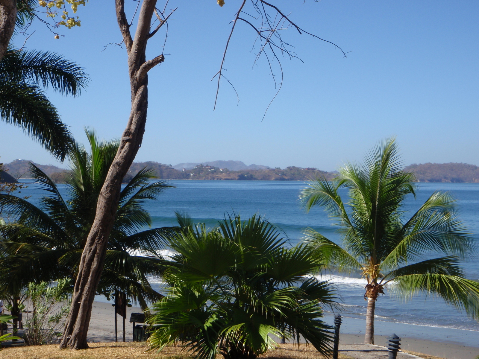
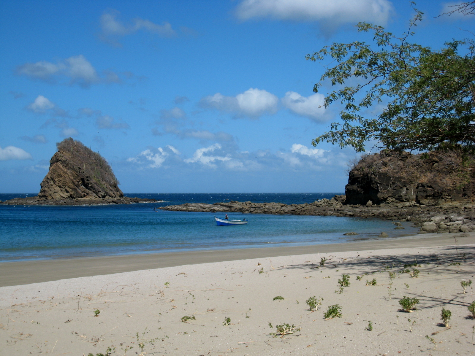
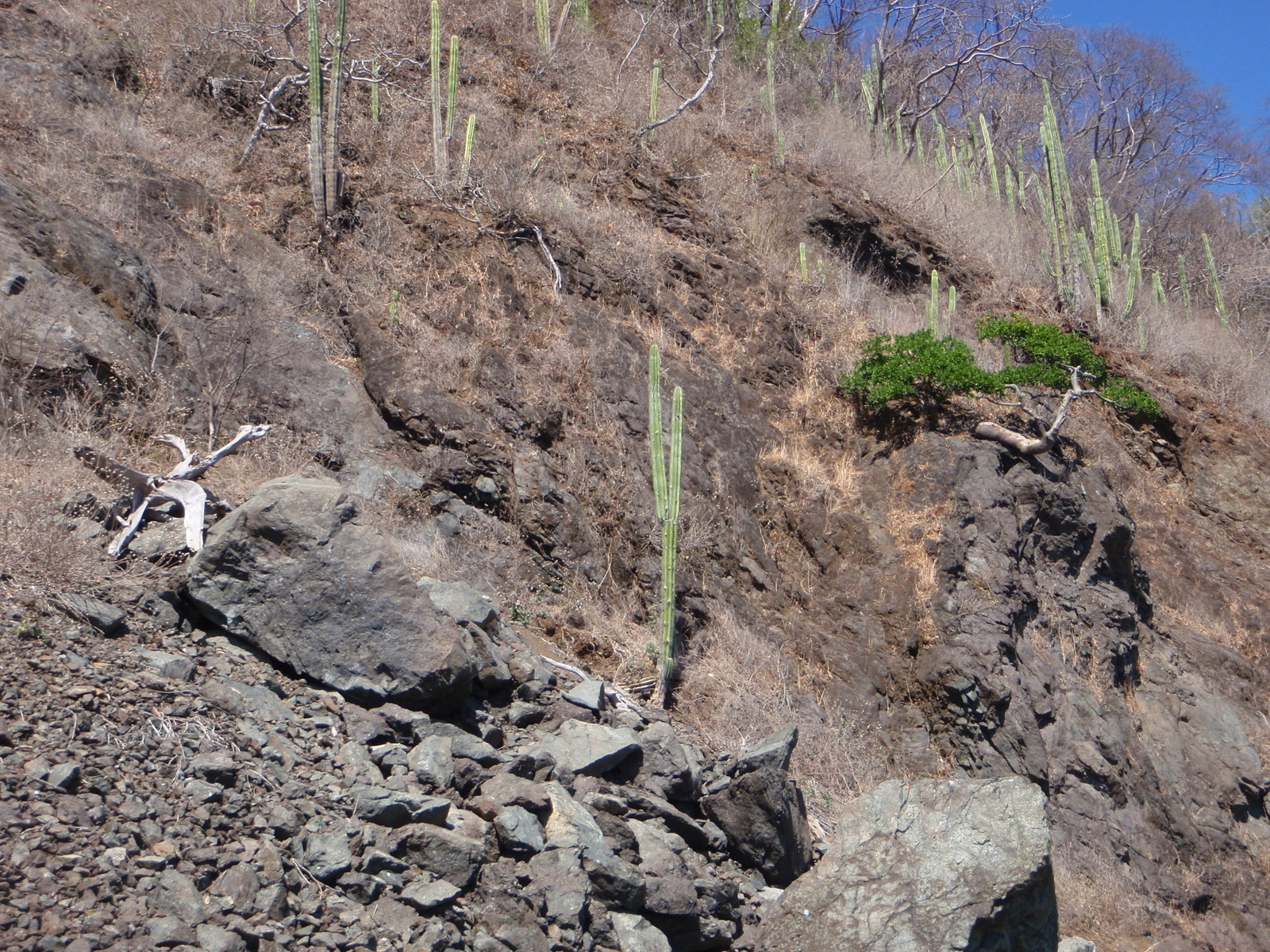
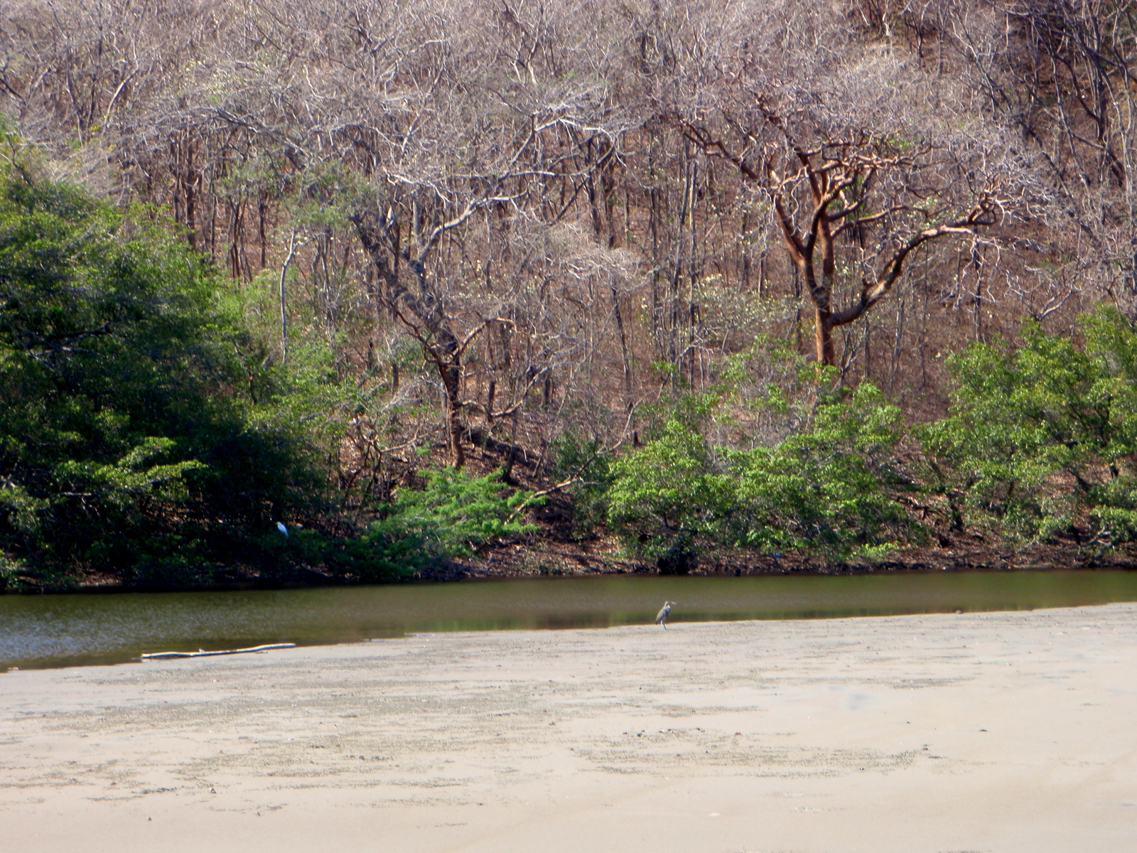
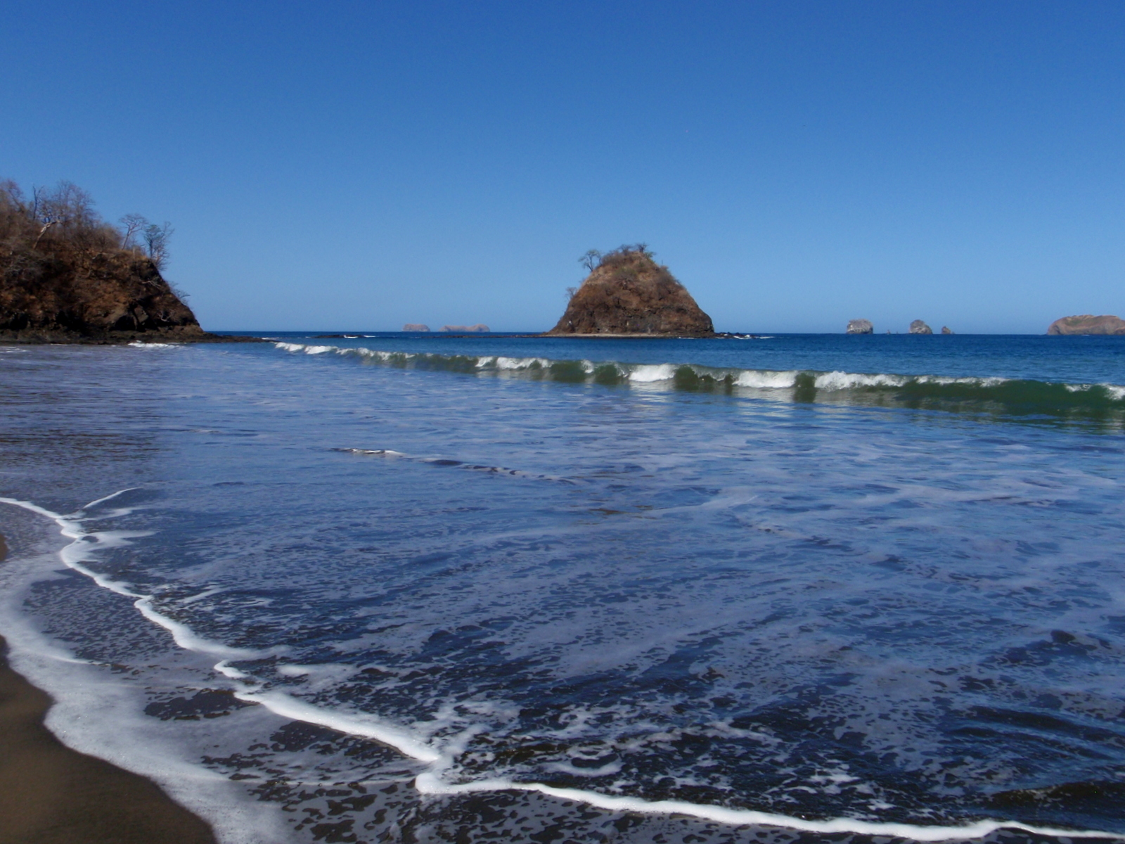
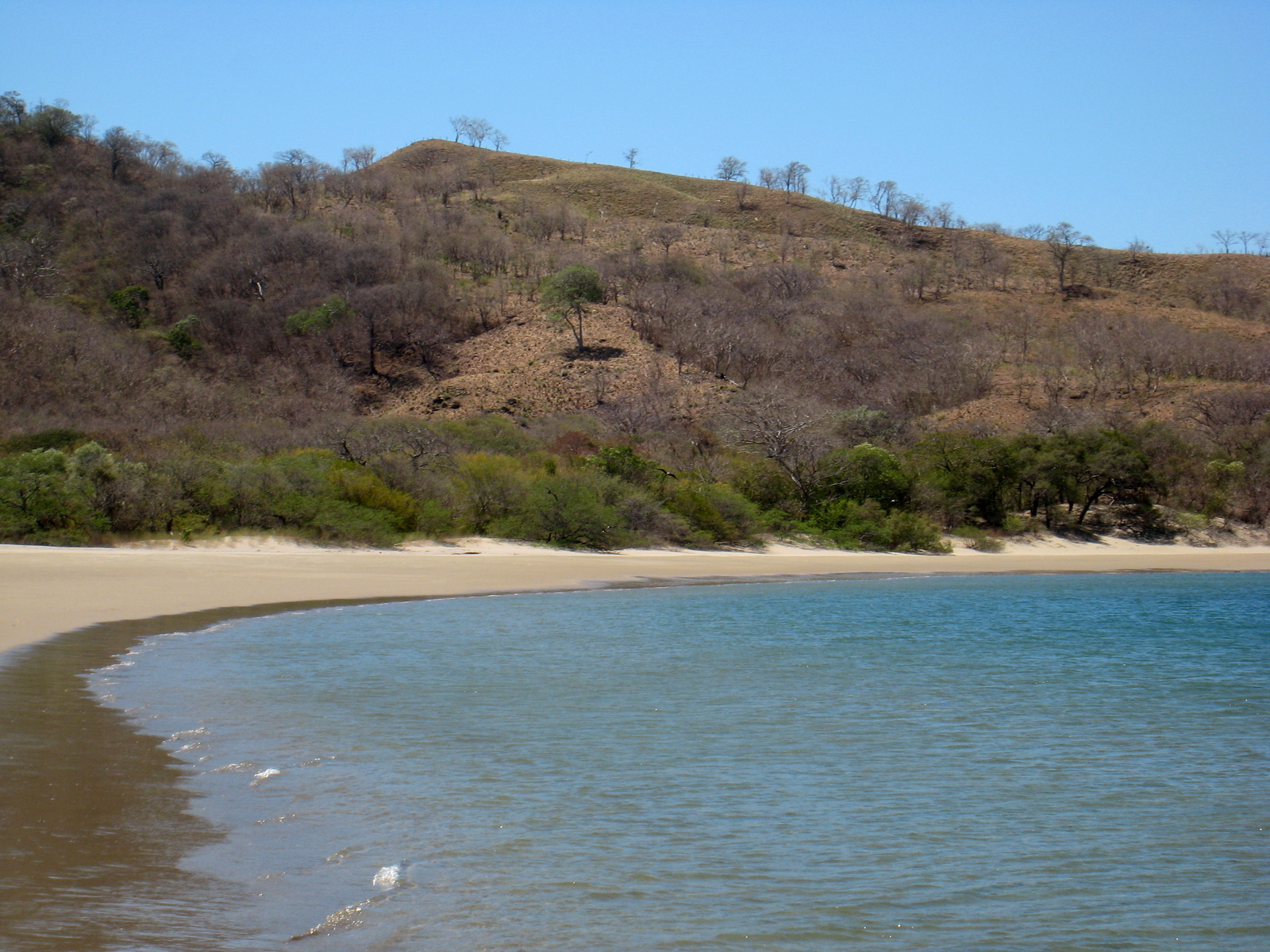
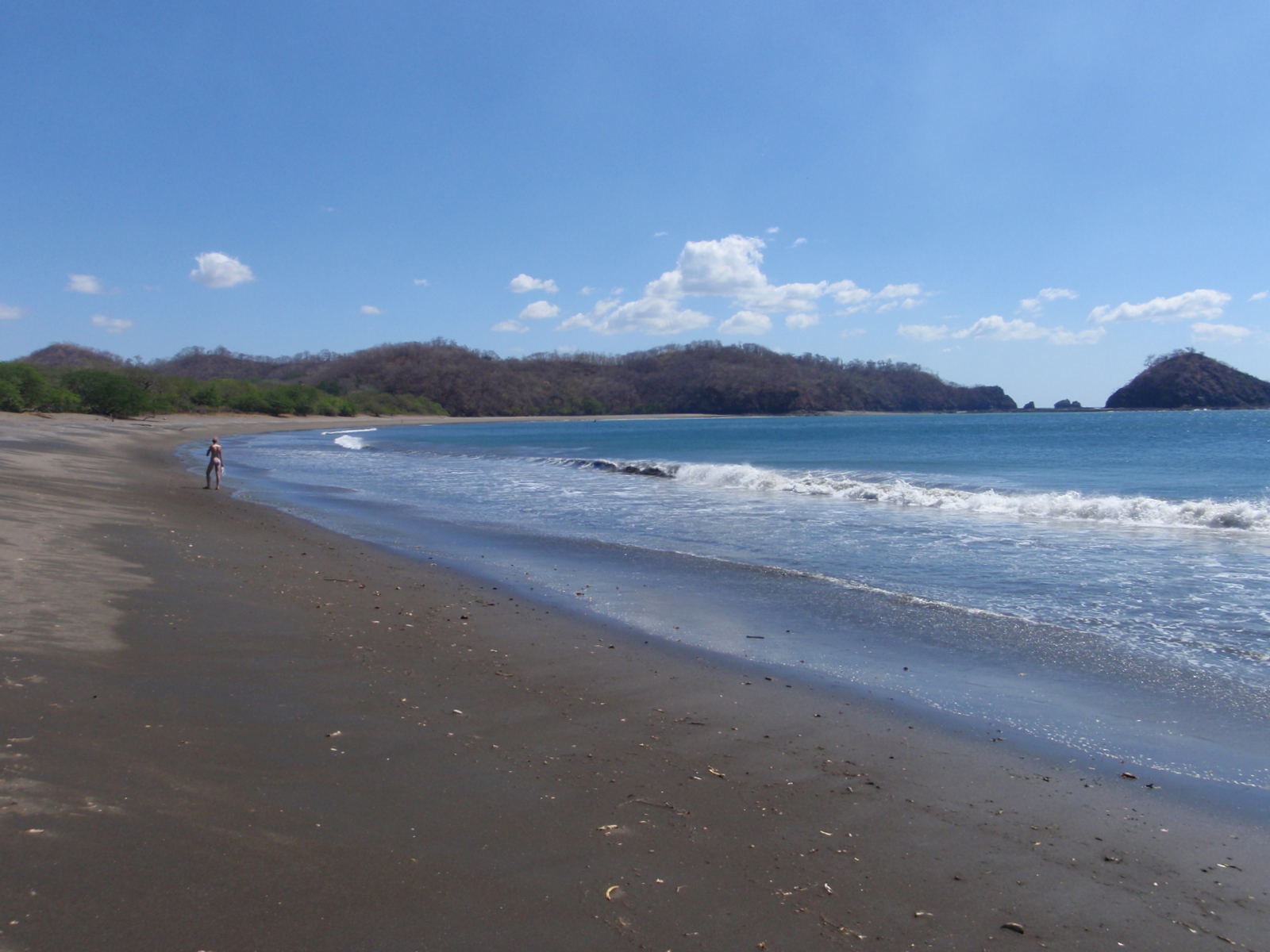
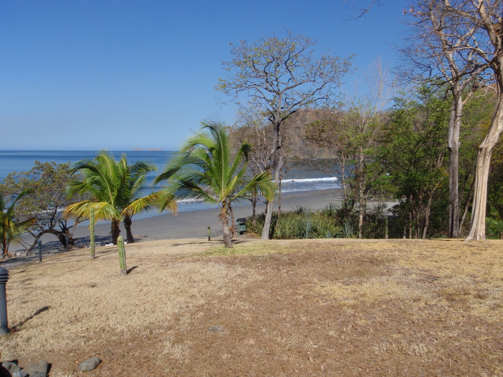
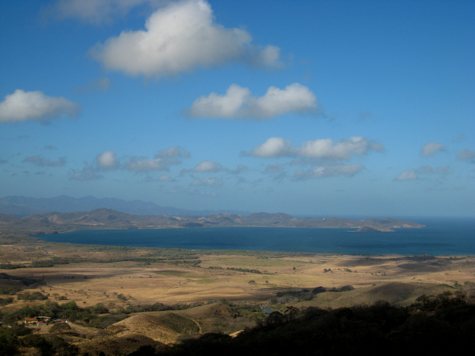
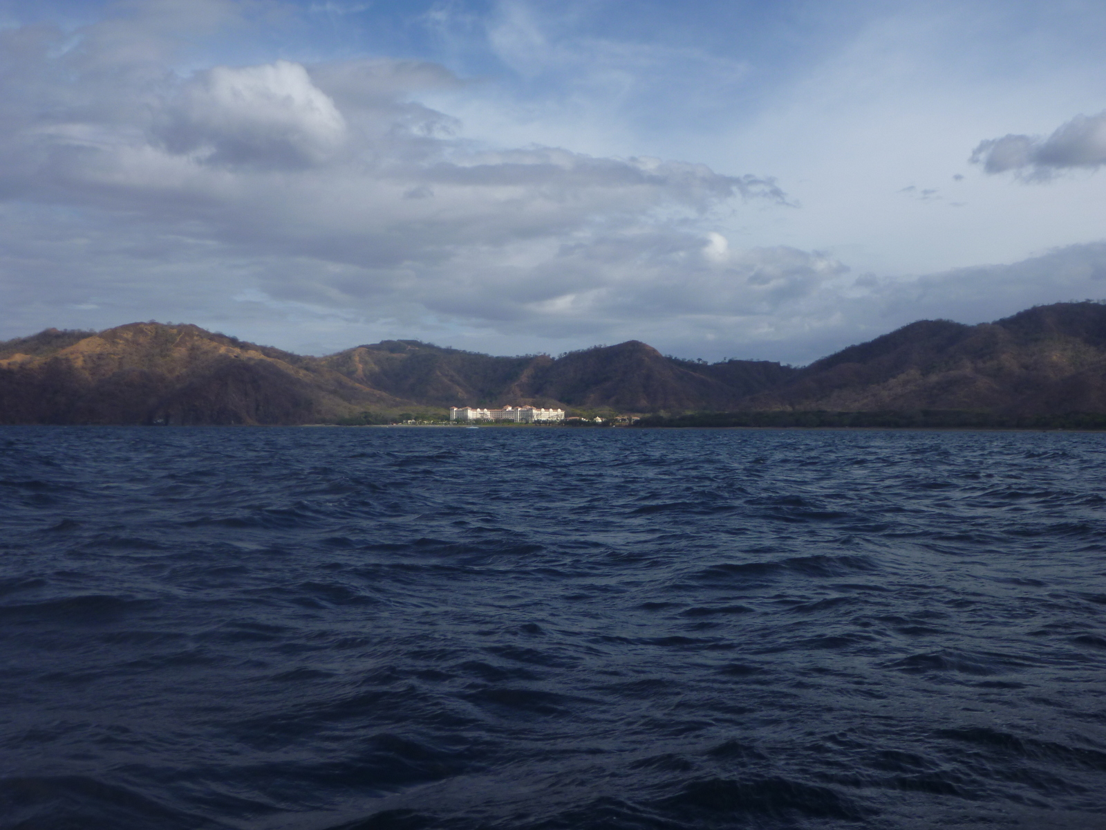
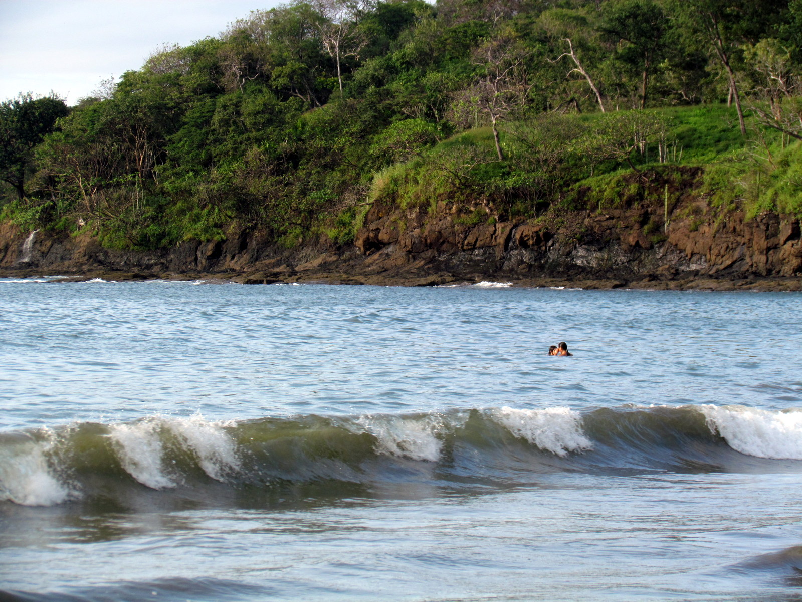
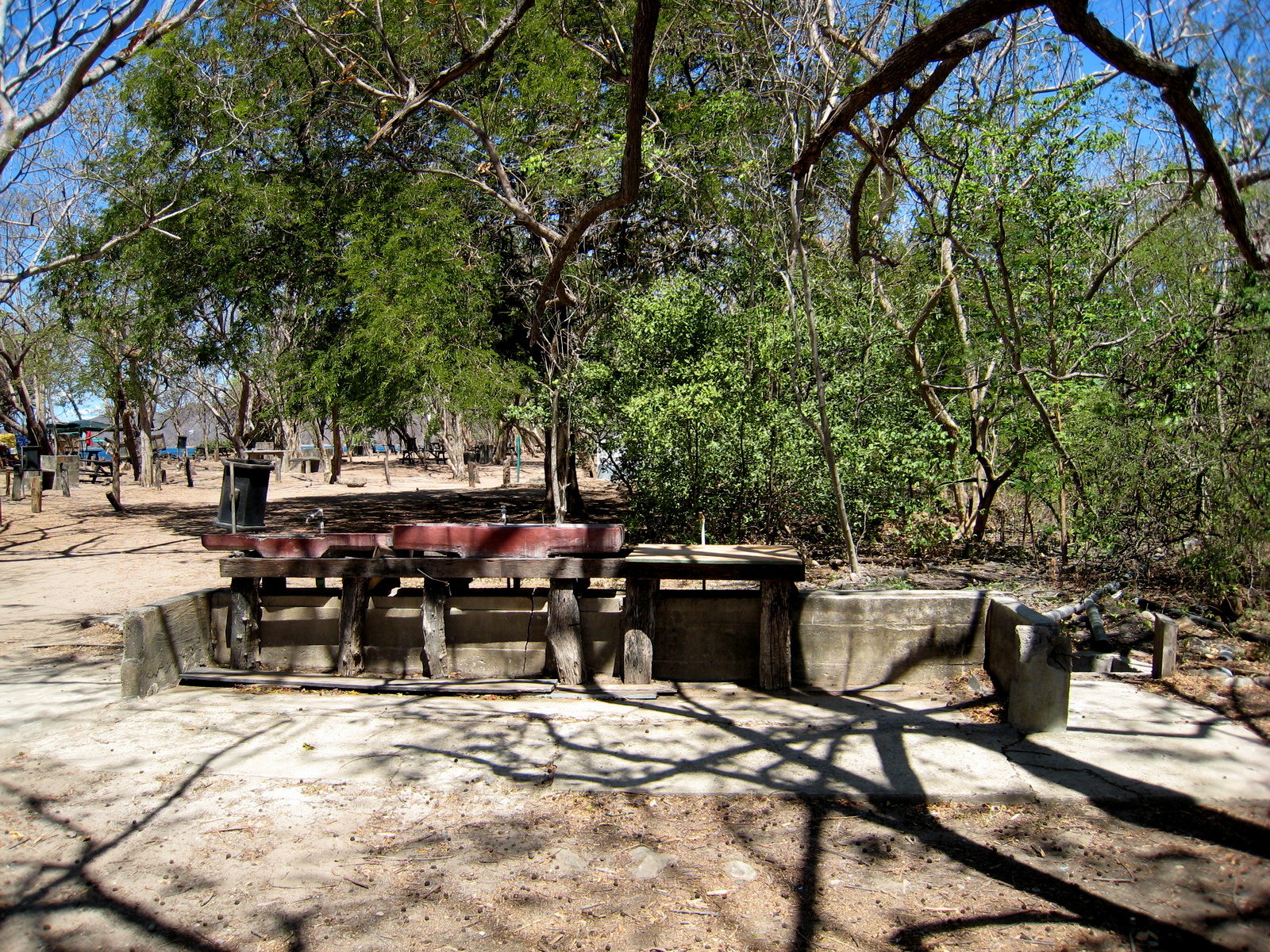
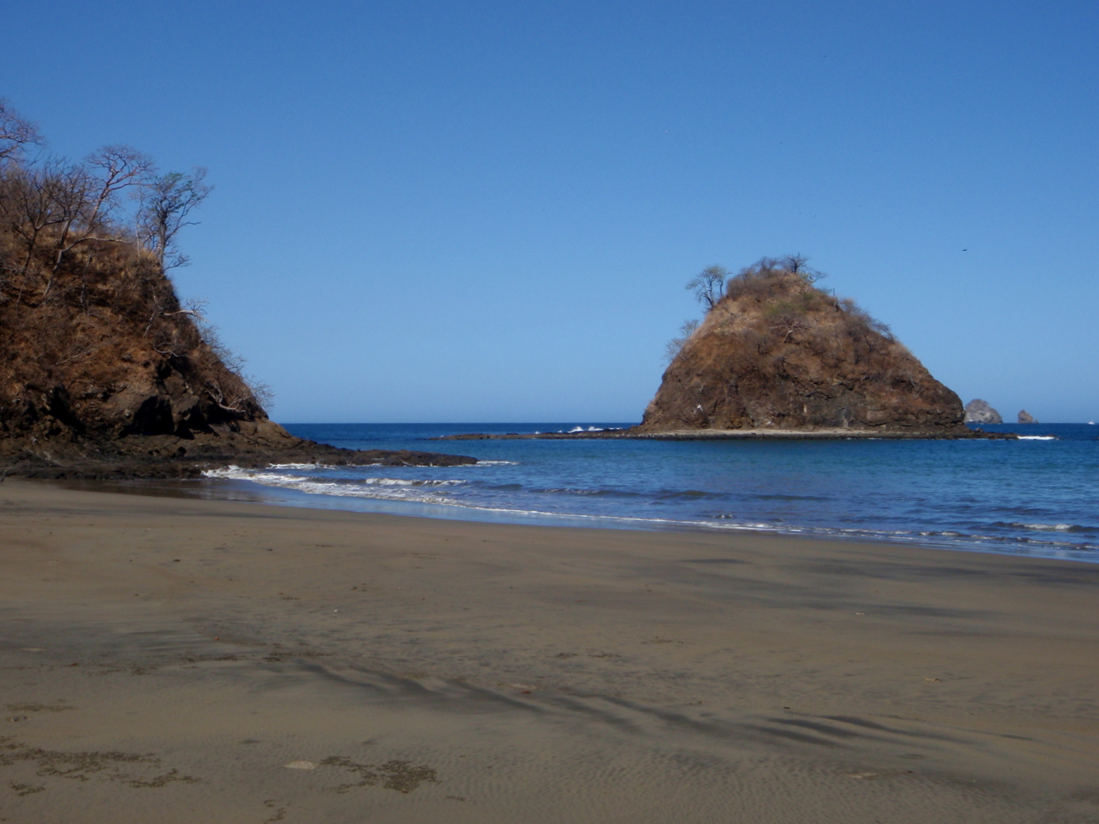
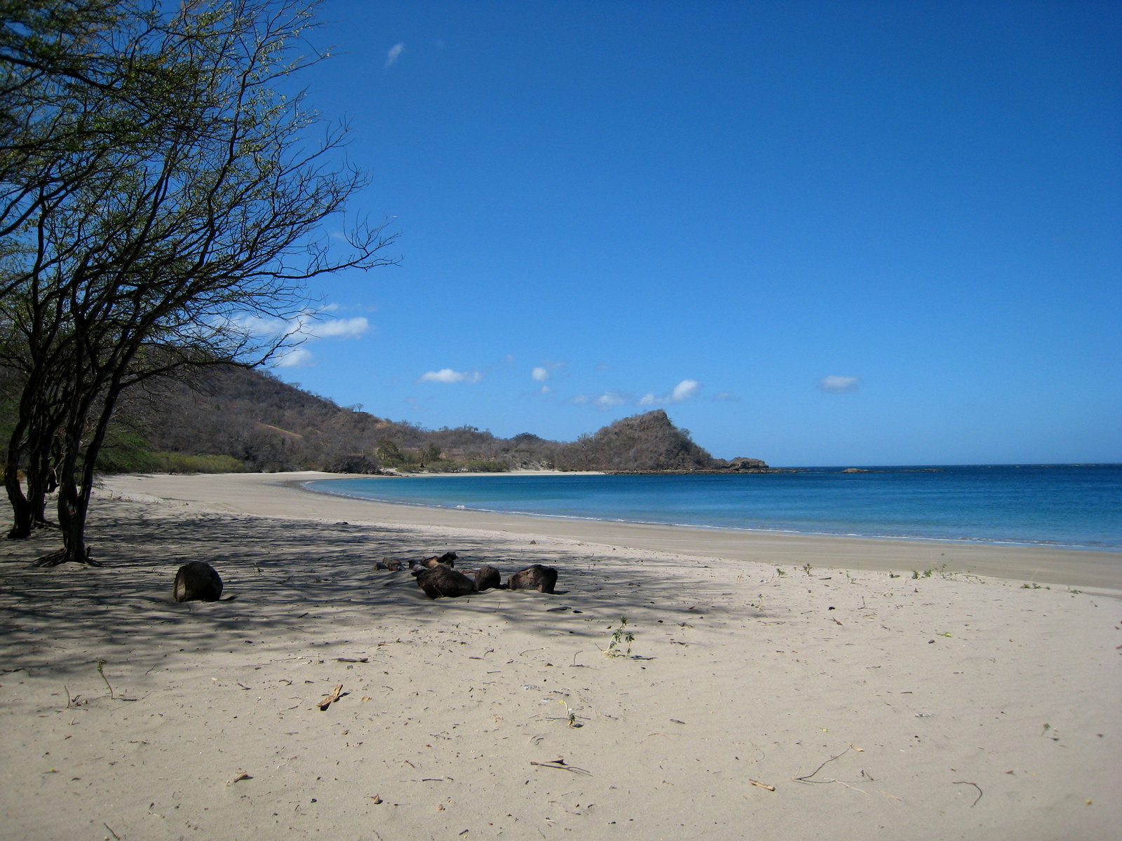
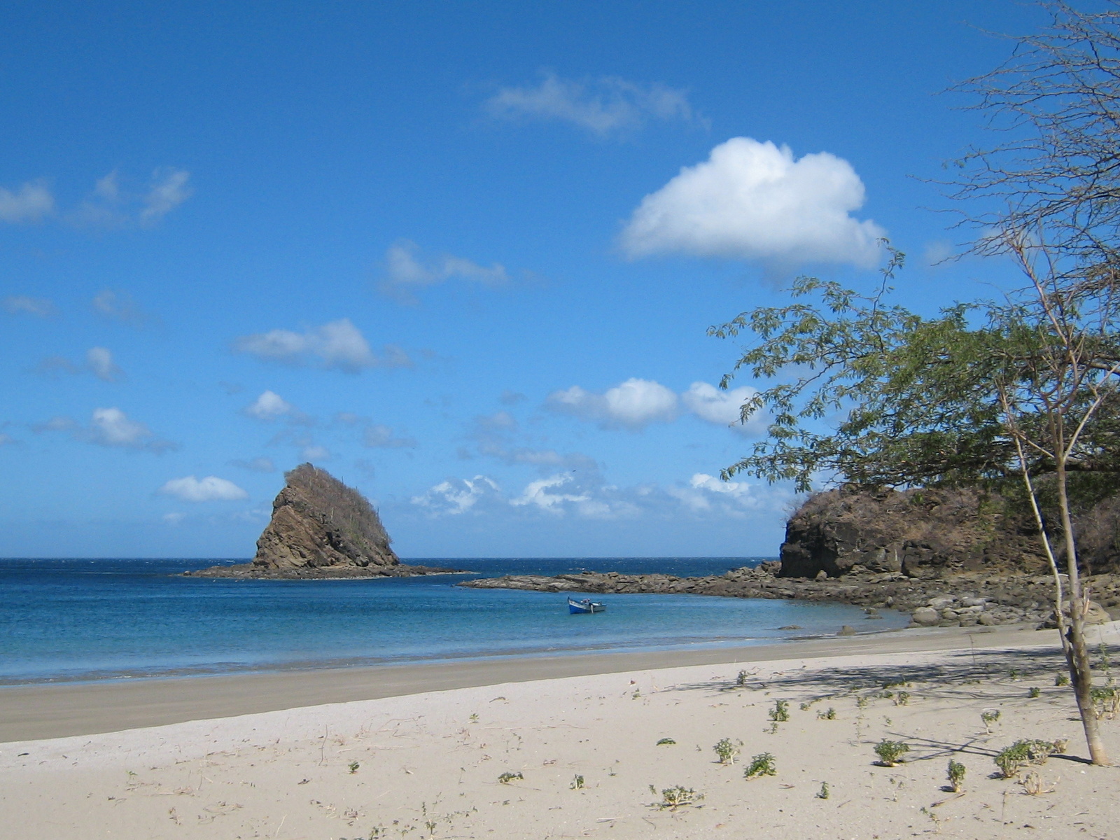
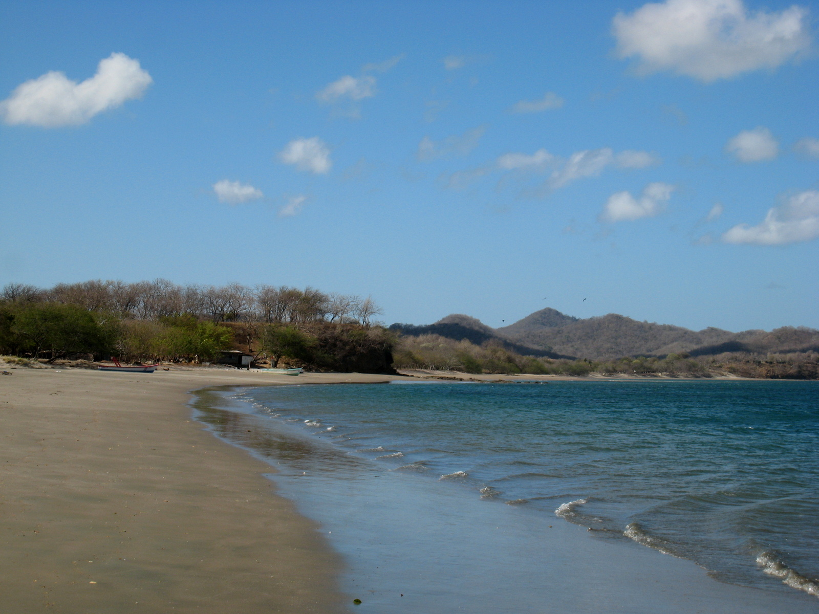
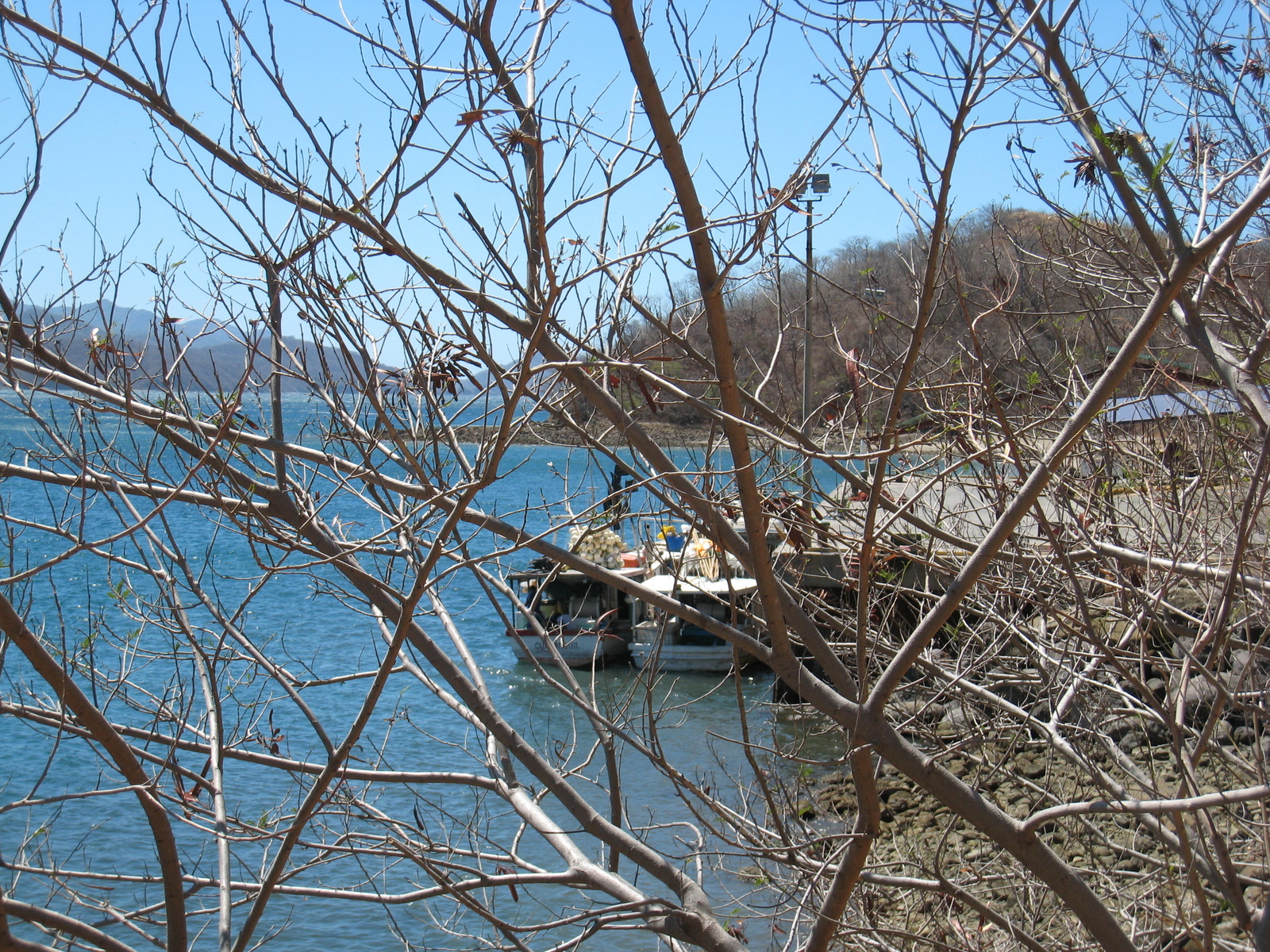
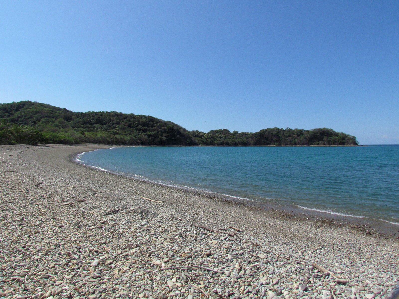
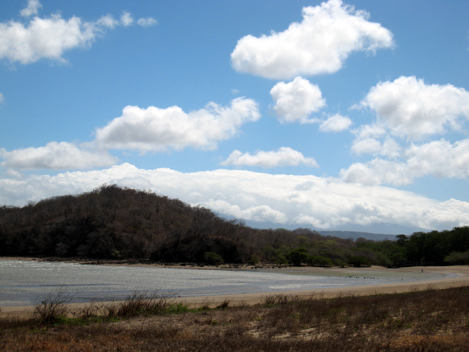
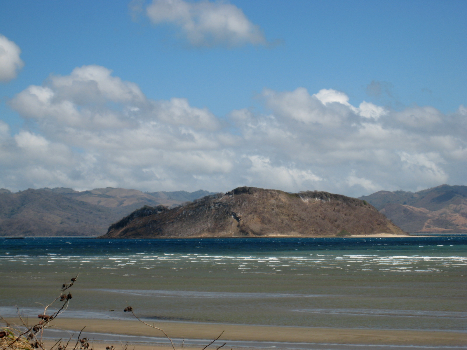
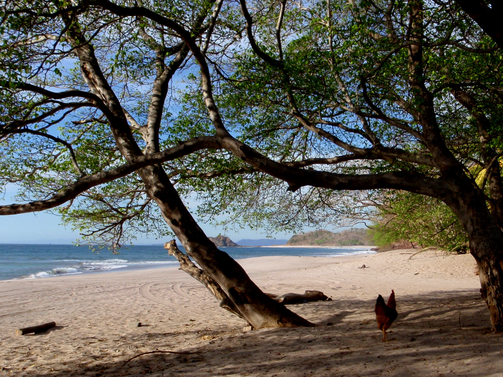
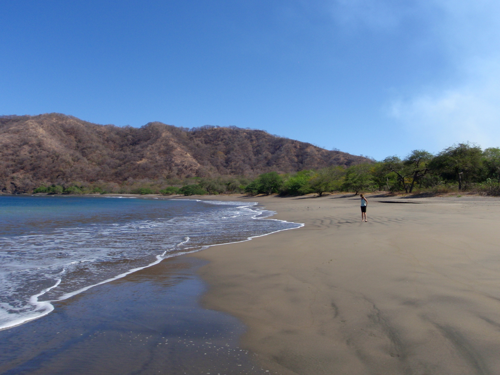
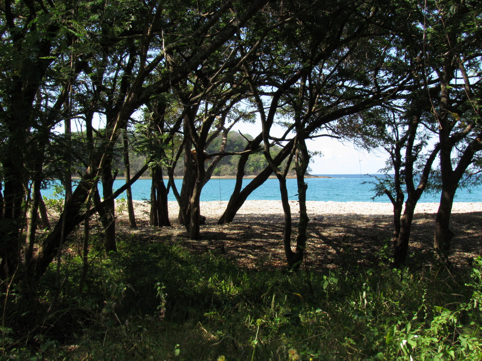
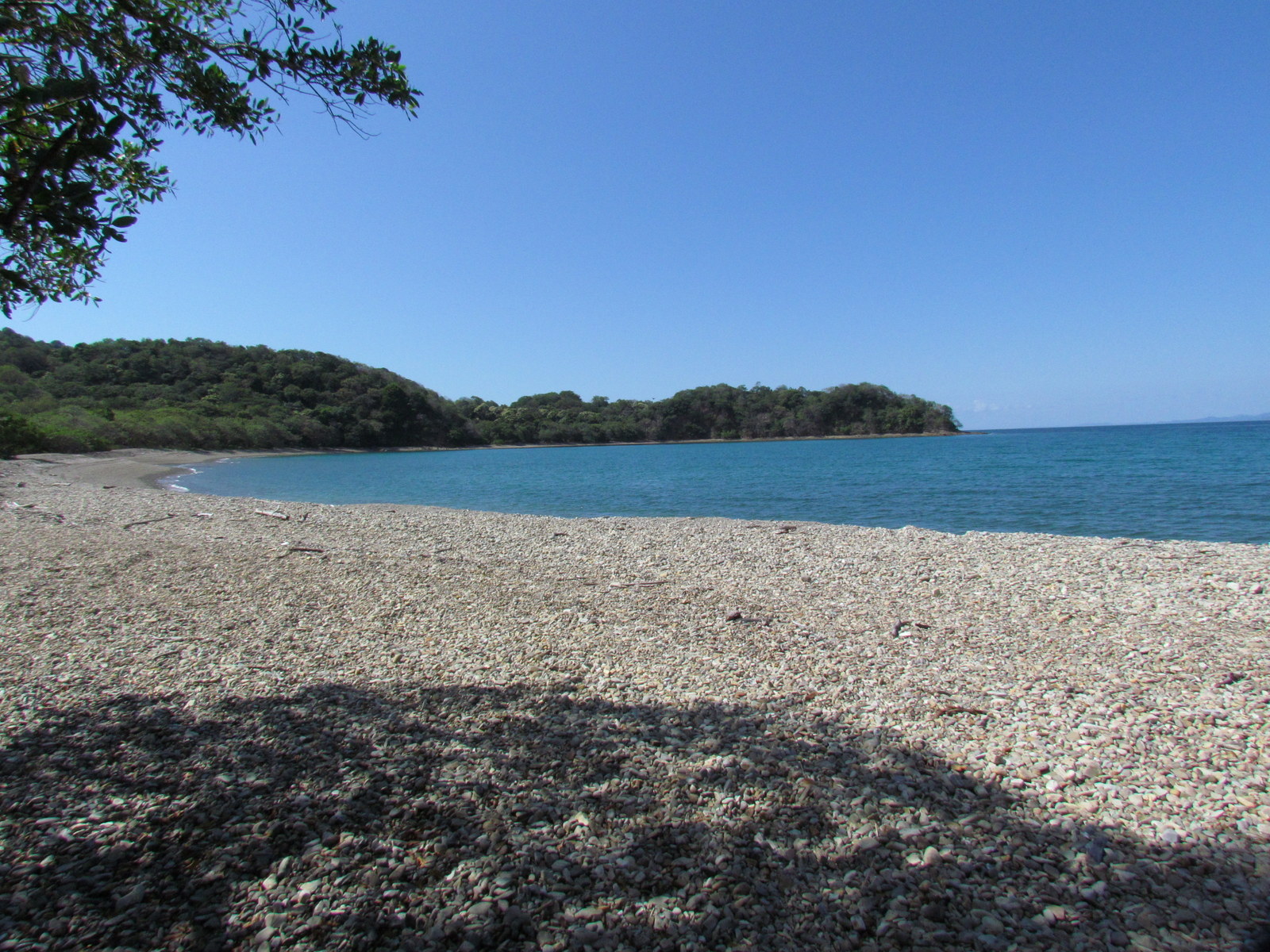
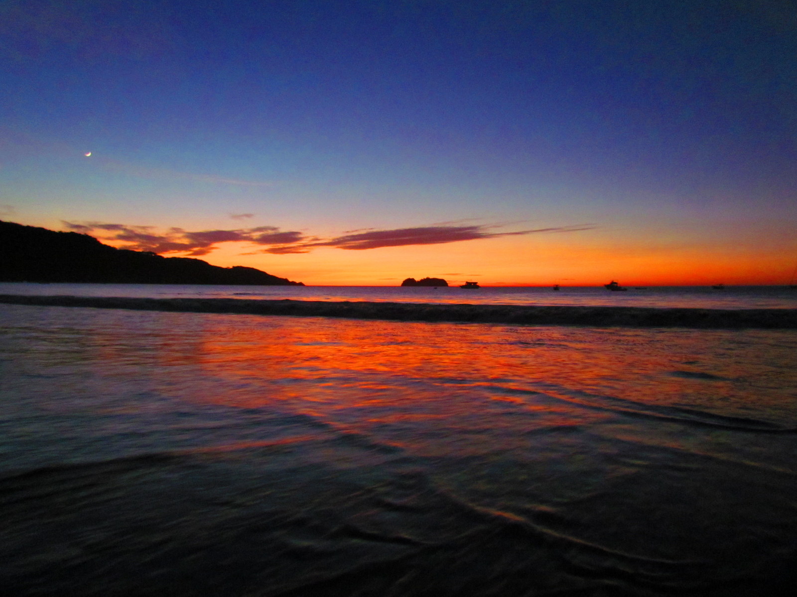
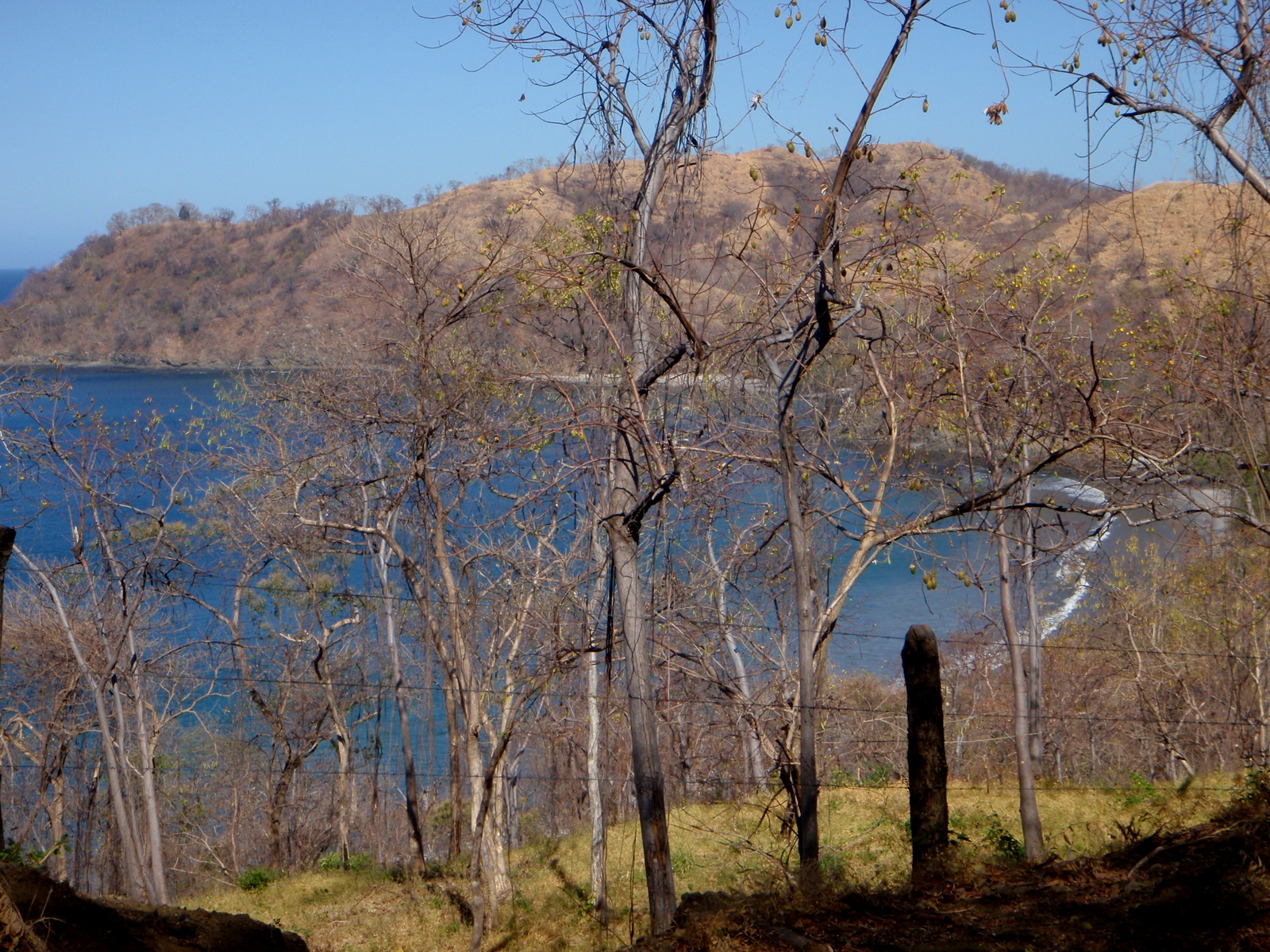
Costa Rica has over 300 beaches on 1,300 km of Pacific and Caribbean coastline and browsing these photos is a great way to get a feel for which ones are deserted or developed.  You can choose from playas with black, white, golden, crushed shell, tan or generic gray sand with big waves or small and coconut palms, condos or rainforest in the background.  Many of the most famous beaches are in Guanacaste and this is where all the international and all-inclusive resorts are located.

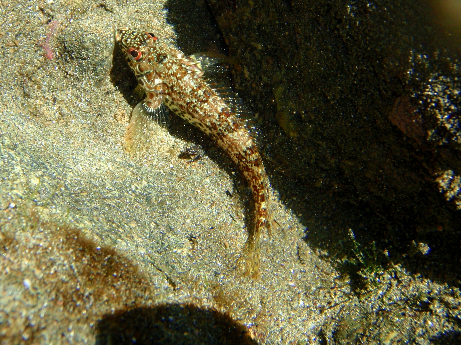
Click on the thumbnails for a more detailed description, location and larger images.

Lunch in the shade on Playa Zapotal
Shade is one of the best amenities on any beach…you can only take so much blue skies and sunshine! Playa Zapotal Guanacaste
Bahía Junquillal National Wildlife Refuge
Picnic under the trees on deserted Playa Zapotal
Lunch spot – Picnic under the trees on deserted Playa Zapotal
El Jobo
El Jobo
Picnic - grilled peppers, zucchini, eggplant and marinated tomato sandwiches - lunch from the cooler Playa Zapotal
Picnic – grilled peppers, zucchini, eggplant and marinated tomato sandwiches – lunch from the cooler Playa Zapotal
Isla Bolaños National Wildlife Refuge from Playa Coyotera
Isla Bolaños National Wildlife Refuge from Playa Coyotera – no one is allowed to land but many birdwatchers stand boats offshore and watch the nesting activity with binoculars
Camping area Bahía Junquillal National Wildlife Refuge
Sailboats at Sunset playa Hermosa Guanacaste
Playa Zapotal (Playa Grande)
Playa Zapotal
Looking over over Bahía de Salinas, Playa Pochote and Isla Bolaños National Wildlife Refuge from Amalias Inn, La Cruz
Arthropod in a tide pool Playa Zapotal
Arthropod
Ríu Resort playa Matapalo
Ríu Resort playa Matapalo before the big building (the palace) went up where the endangered mangroves are on the right side
Sunset playa Hermosa with the moon following close behind
In a tide pool Playa Zapotal
In a tide pool
Puerto Soley, Playa Pochote
Sugar Beach north of playa Flamingo and Brasilito
Sea slug in a tide pool Playa Zapotal
Cactus and bonzai Playa Zapotal
Cactus and natural bonzai
Playa Prieta north of Flamingo and Brasilito
Playa Pochote
Playa Pochote
Stunningly deserted Playa Hachal. We were the only people for miles.
Estuary at Playa Zapotal (playa Grande)
Estuary at Playa Zapotal (playa Grande) – one of the few remaining undeveloped beaches along the central Guanacaste coast
Playa Bahía Junquillal
Bahia Hachal is north of the Santa Rosa National Park Murcialago sector ranger station about 5 km by hiking trail.
Bahia Hachal Santa Rosa National Park
Frigate birds over Bahía Junquillal National Wildlife Refuge
Playa Coyotera
Playa Coyotera
Playa Coyotera
Playa Coyotera
Frigate birds over Bahía de Salinas
Playa Danta with Dantica
Playa Danta with Dantica in the background – this is all filled in with the new resort now
Playa Zapotal (playa Grande)
Playa Zapotal (aka playa Grande)
Urchins in a tide pool Playa Zapotal
Urchins
Playa Rajada
Playa Rajada
Playa Bahía Junquillal
Playa Zapotal
Playa Zapotal
El Jobo
El Jobo
The dock at El Torno Bahía Cuajiniquil
Chicken of the sea on Playa Real (Playa Nombre de Jesús is in the background)
Bahia El Hachal Guanacaste
Playa Hermosa Guanacaste
Bahia Hachal is north of the Santa Rosa National Park Murcialago sector ranger station about 5 km by hiking trail.
Playa Zapotal
Playa Zapotal
If you look very closely you can see the faintest hint of a cloud on the far right horizon over the Pacific on Playa Hachal
A cloud? – If you look very closely you can see the faintest hint of a cloud on the far right horizon over the Pacific on Playa Hachal
Gobi in a tide pool Playa Zapotal
Pelicans Playa Zapotal
Pelicans fishing at Playa Zapotal
Playa Hermosa Guanacaste
Playa Hermosa


Ray & Sue

Cost · ToDo · Plan·Costa Rica Guide logo animated·Top10 · Best Time · Contact


toll free Costa Rica travel desk!
1-866-816-0197

CONTACT US

Photos
  • Tortuguero Beach – National Park & Sea Turtles Nesting
  • Tortuguero Village & Canals Photos
  • Guayabo National Monument
  • San Gerardo de Dota National Park
  • Karen Mogensen Nature Reserve
  • Lower Savegre & Rafiki
  • Savegre National Park
  • Pacuare River Rafting Overnight
  • Portalón Estero Rey National Wildlife Refuge
  • Hacienda Barú National Wildlife Refuge Photos
  • Rainmaker Biological Reserve Photos
  • Hills of Portalón Wildlife Refuge
  • Funny, Quirky, Weird – Costa Rica Humor
  • Bahía Junquillal National Wildlife Refuge Photos
  • Playa Hermosa-Punta Mala National Wildlife Refuge Photos
  • La Cangreja National Park Photos
  • Pacuare Gilligan’s Island
  • Rincón de la Vieja – Hacienda Guachipelín Photos
  • Quirky, Weird, Funny – Costa Rica Humor
  • Lankester Botanical Gardens Photos


Costa Rica Guide on facebook
Costa Rica Guide on Facebook