Costa Rica Guide

travel information and maps

  • Vacation Planning
  • Best Trips Ever>>
  • More Fun Than Humanly Possible
  • Costa Rica
    • Top Ten
    • Best Time to Visit Costa Rica
    • Things To Do in Costa Rica
    • Maps
    • Transportation
      • Rental Cars
        • Advantages of Driving
        • Disadvantages Driving
        • Code of the Road
        • Navigation & Drive Time
        • Rental Insurance Explained
        • Can’t Get There
      • Airports
        • Flights Worth Taking
        • LIR or SJO
        • Airfare Deals
        • Domestic Airlines
        • Domestic Air Tips
      • Taxis
      • Bus Schedule
    • Food
      • Typical Menu
      • Batidos & Refrescos
      • Gallo Pinto
      • Tamales
      • Ceviche
      • Ensalada Palmito
      • Sopa Negra
      • Vinagre Chilera
    • Weather
      • Seasons in Costa Rica
      • Current Storms in Costa Rica
    • Regions
  • Nature & Wildlife
    • National Parks
    • Wildlife Refuges
    • Ecozones
    • Best Places to See Wildlife in Costa Rica
  • Practical Info
    • Health & Safety
      • Health Tips
        • Altitude Sickness
        • Chikungunya
        • Natural Disasters
      • Crime
        • Cons & Rip-offs
        • Corruption
        • Violent Crime
    • Will My Phone Work?
    • Packing List
    • Passports & Docs
    • Money – How To?
    • How Much Does it Cost?
    • Travel Tips
  • Stories
    • Photos
    • Trek Across Costa Rica
    • Sendero de Oro
    • Quebrada Gata
    • Bicycle Touring
    • About Us
  • Move to Costa Rica
  • Free Travel Pack
no obligation custom trip plan & price quote

1-866-816-0197

· Copyright © 2023 ·

Aerial Photos

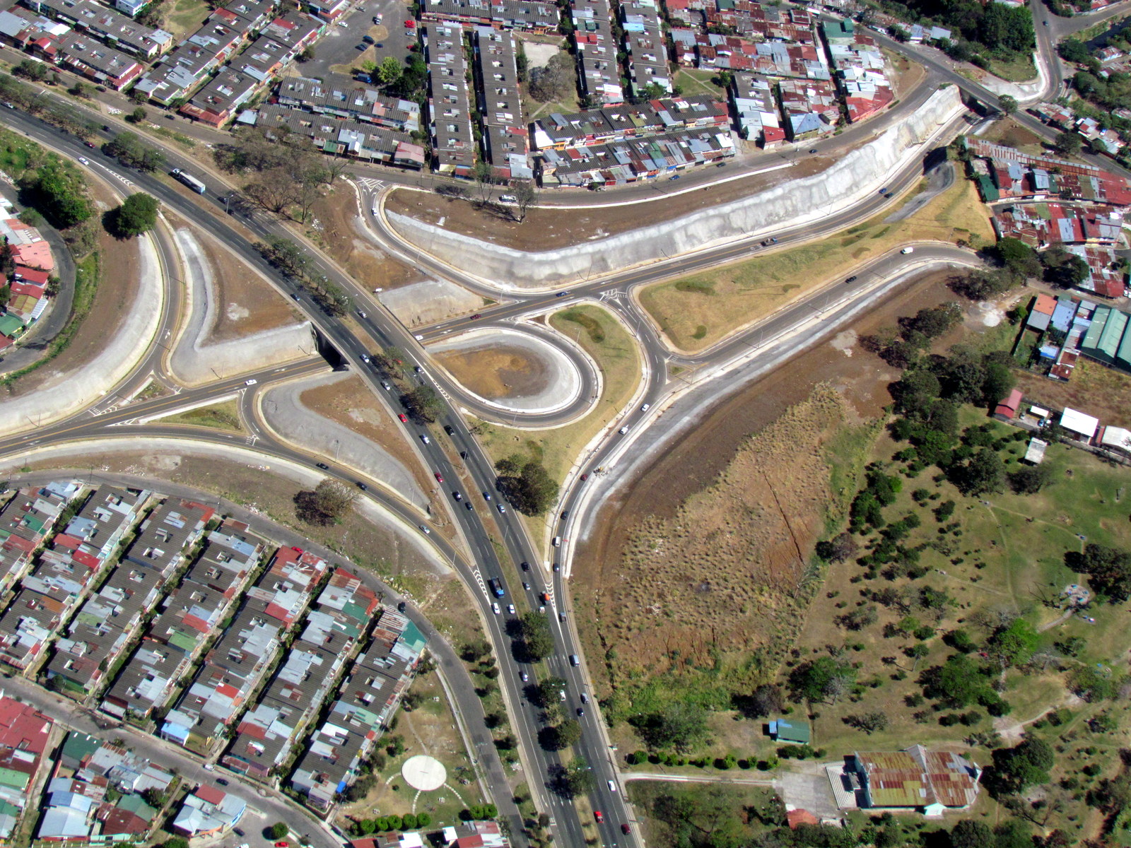
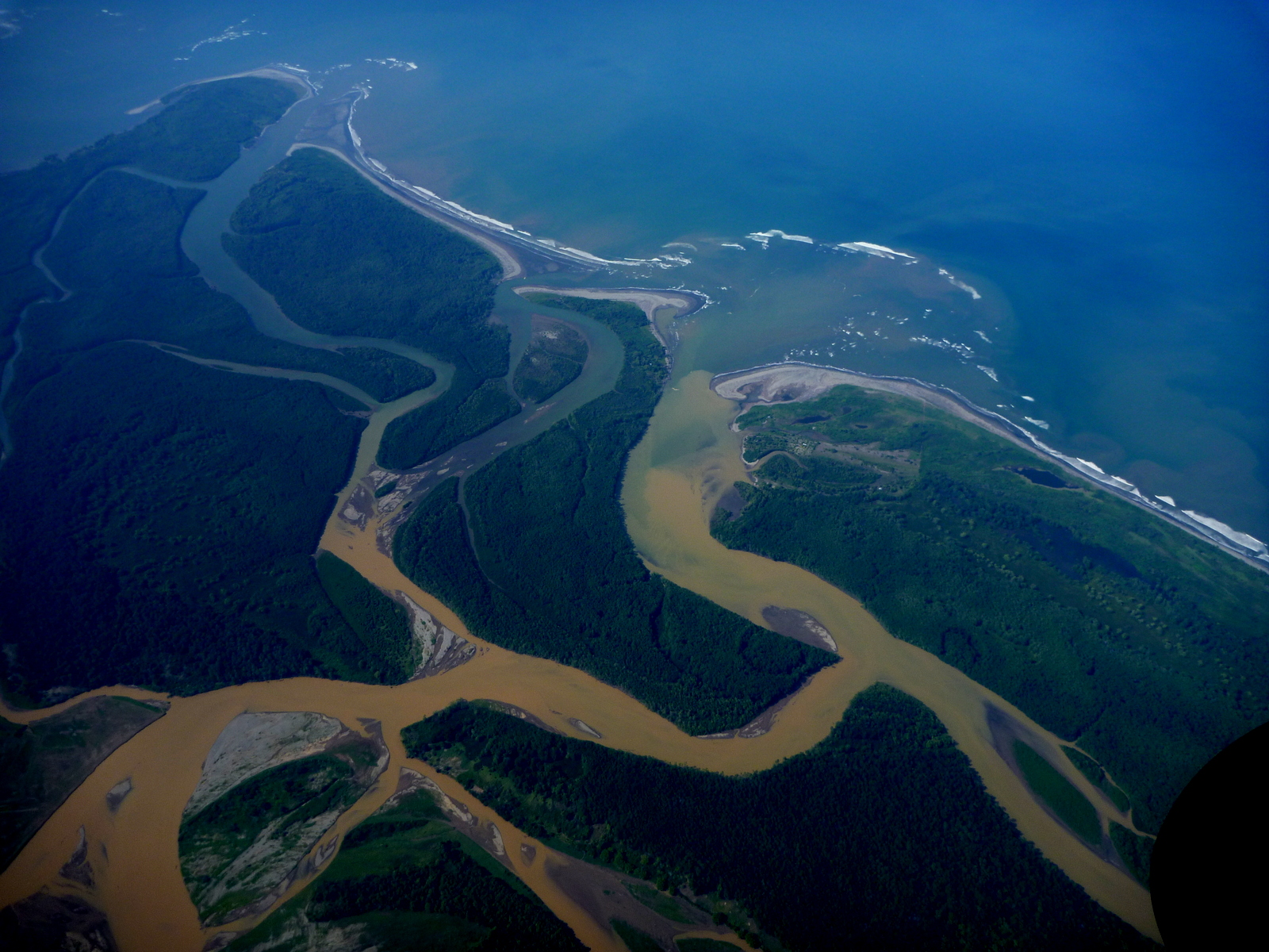
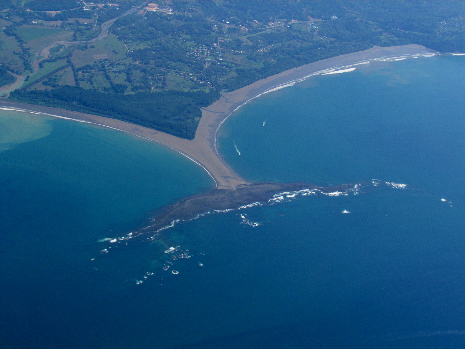
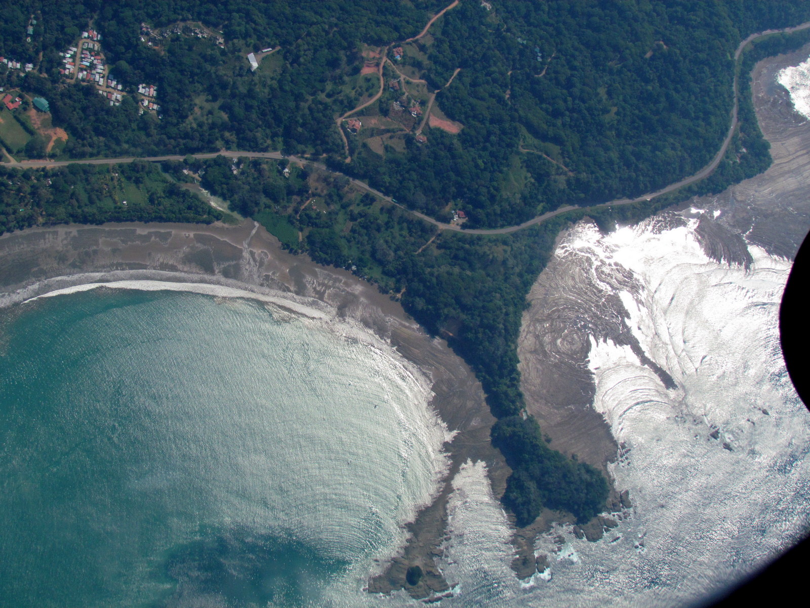
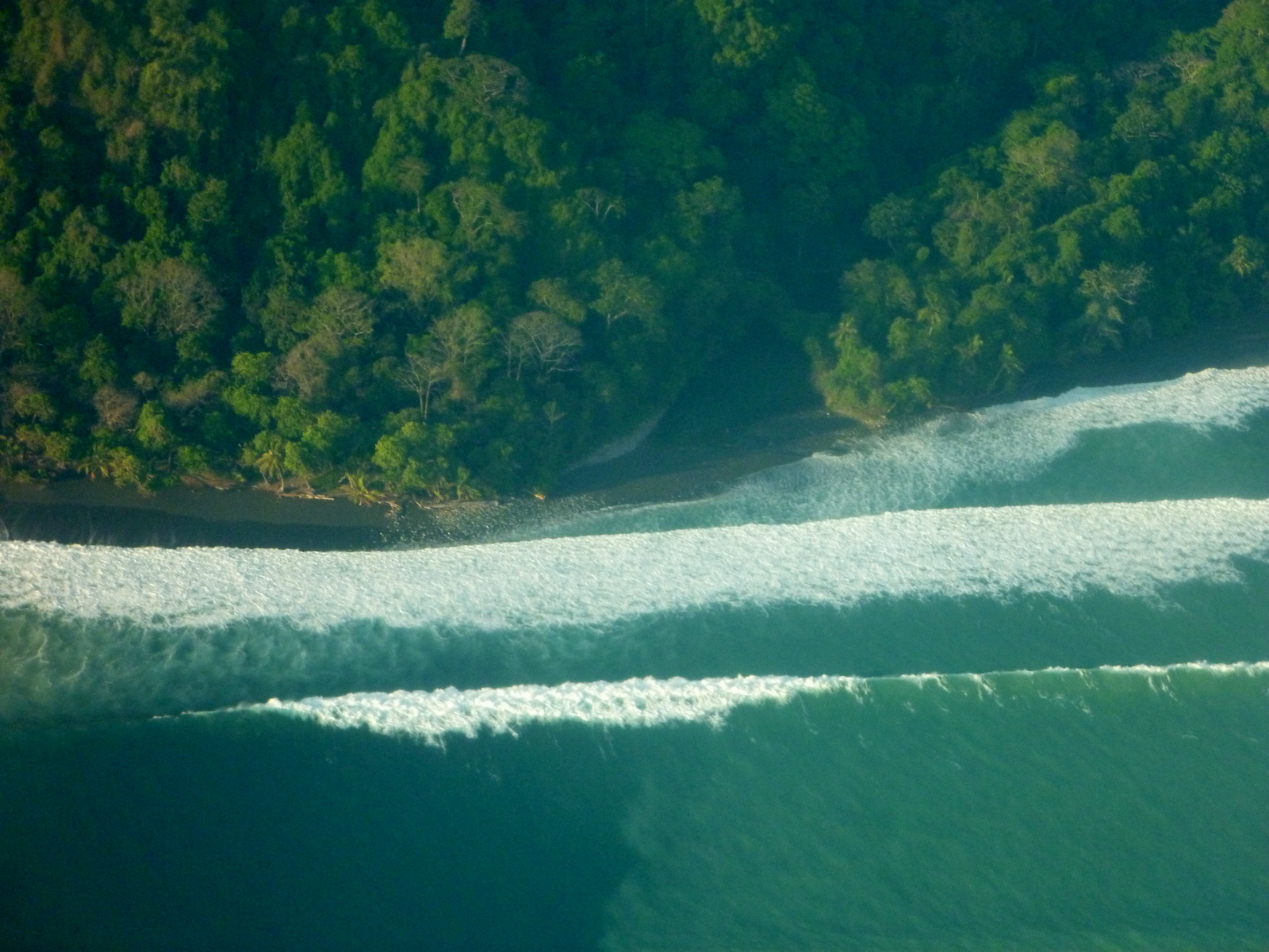
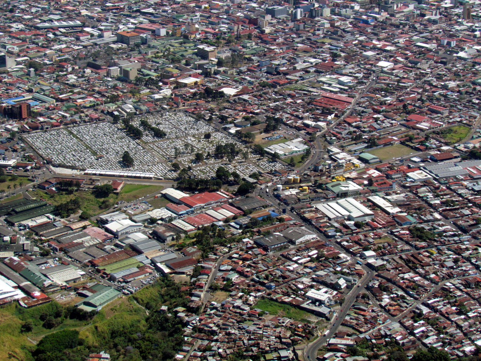
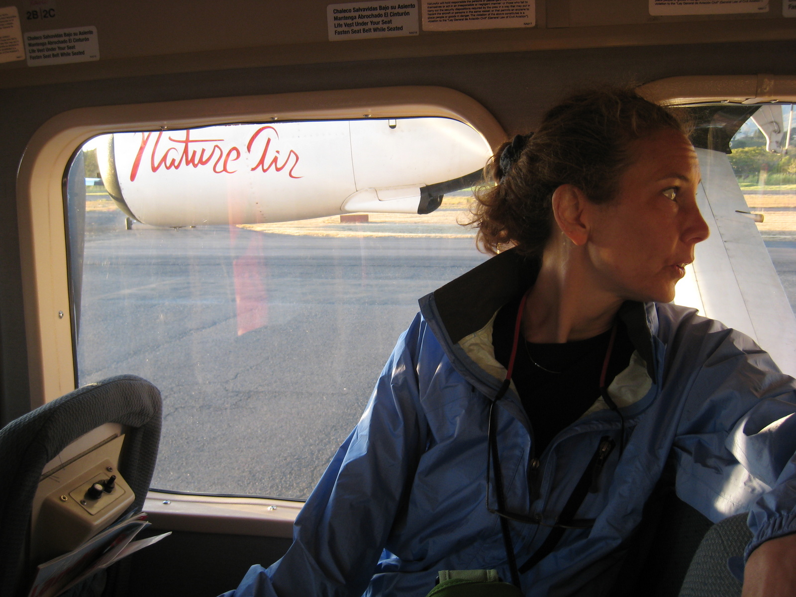
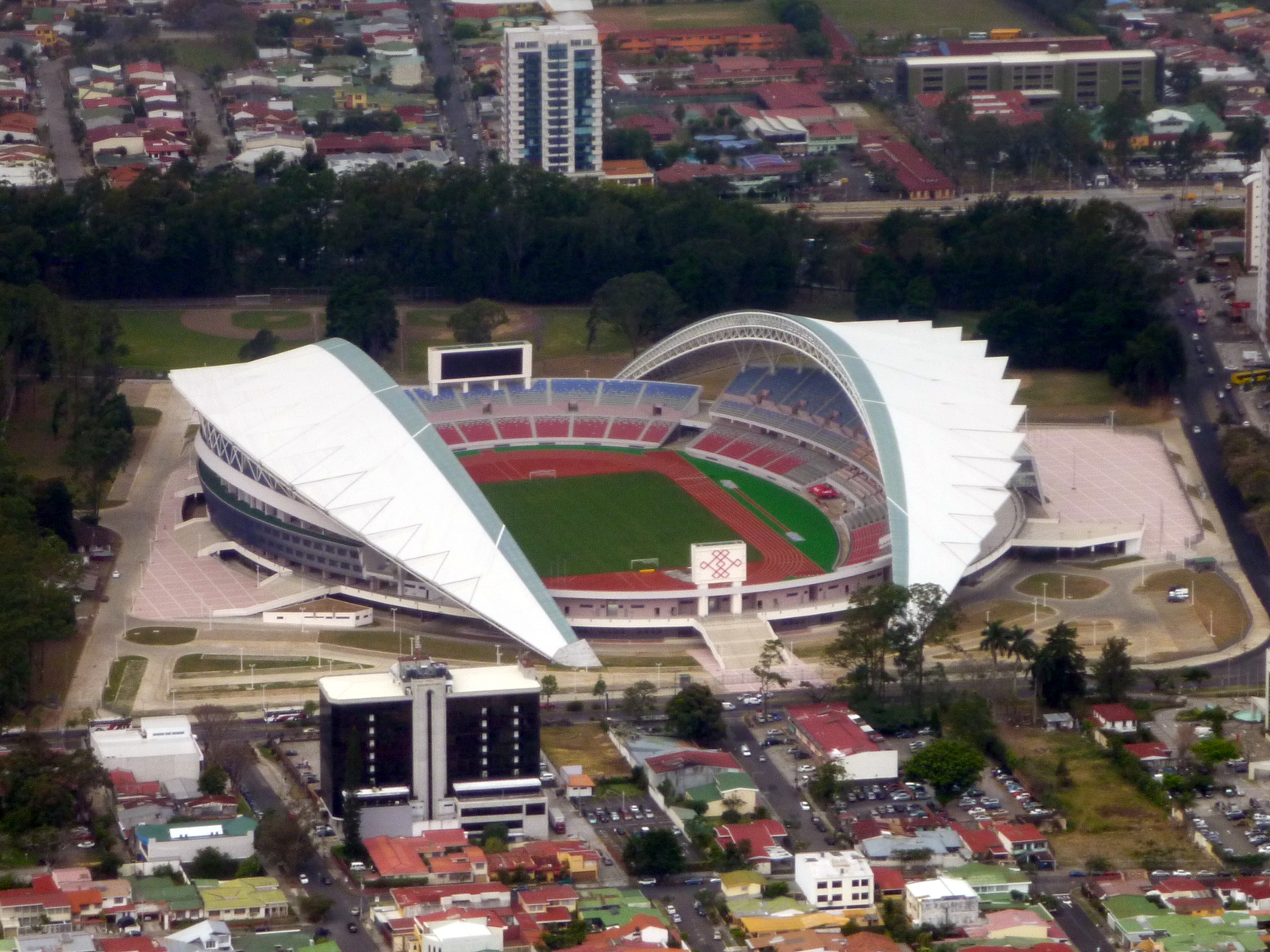
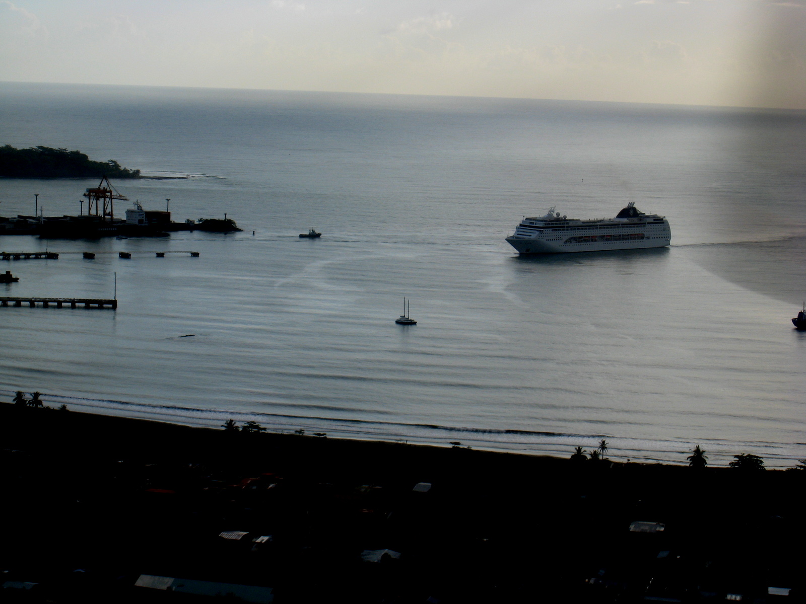
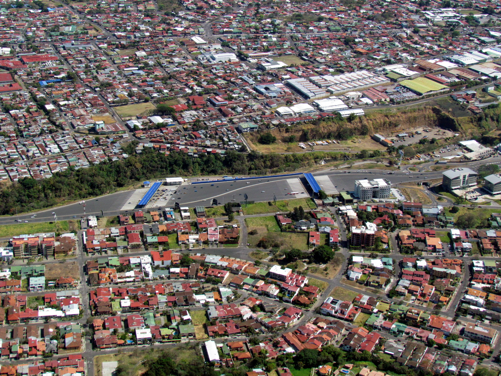
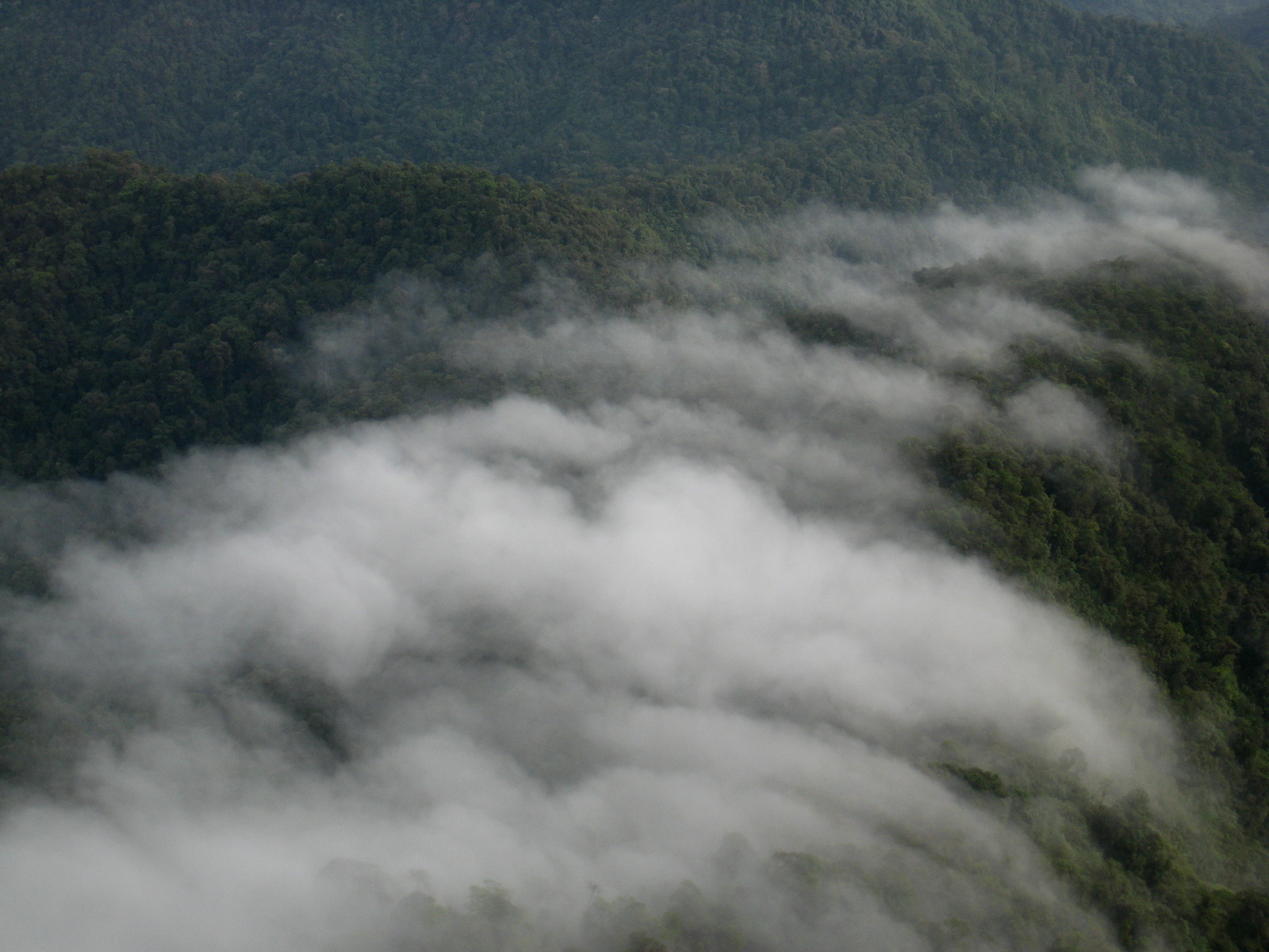
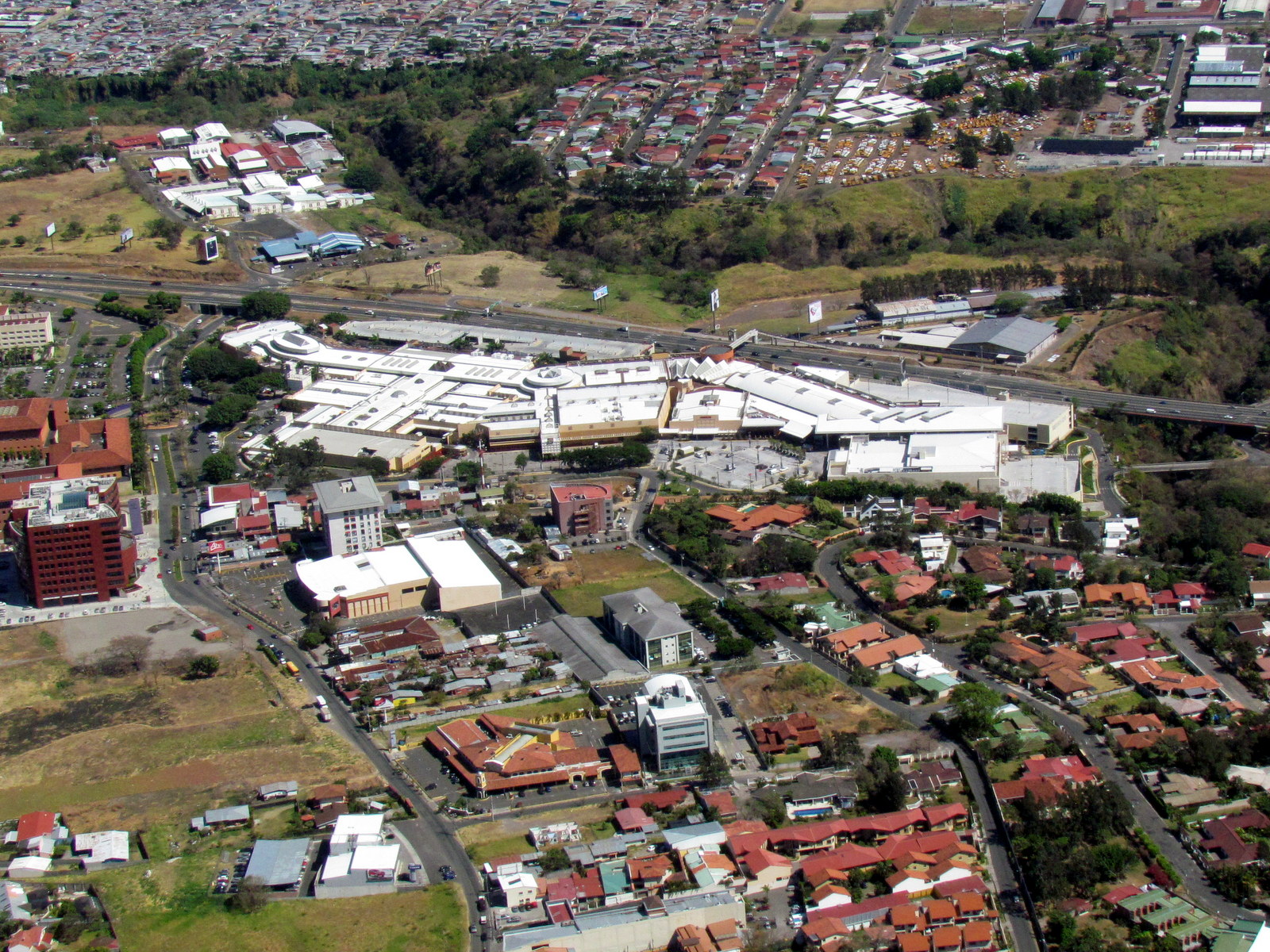
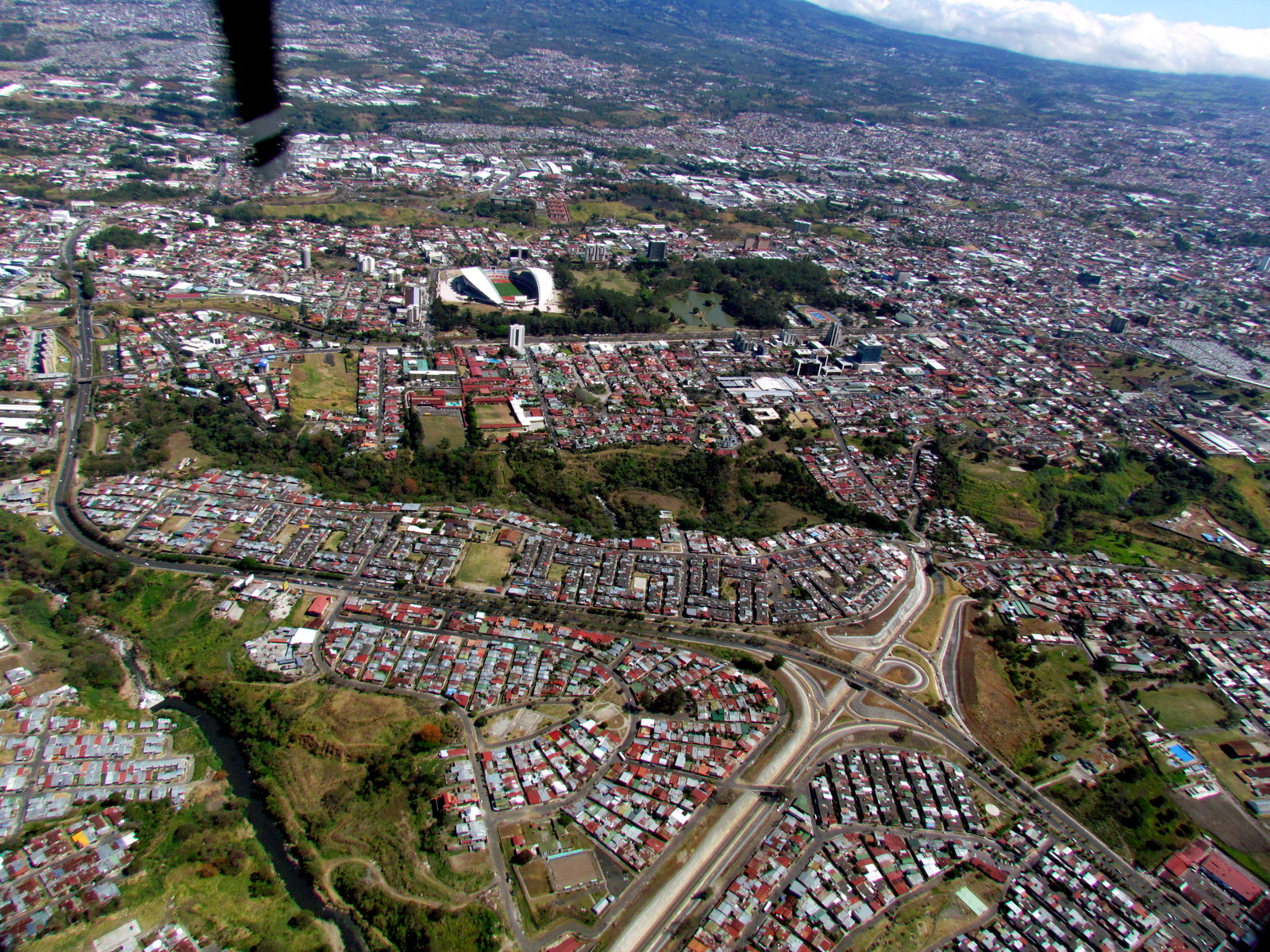
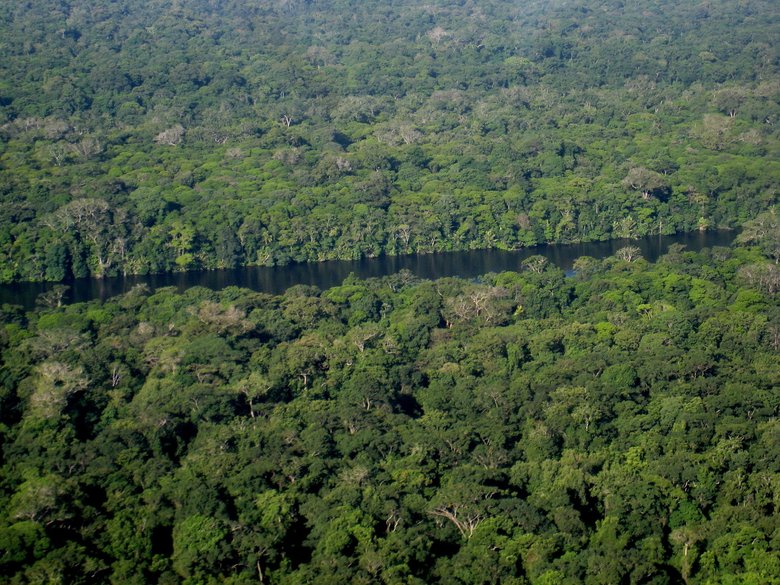
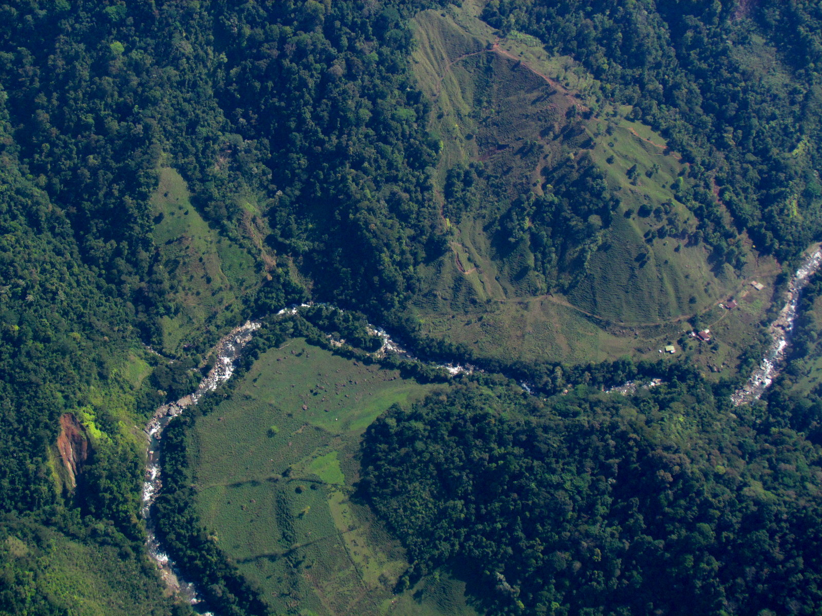
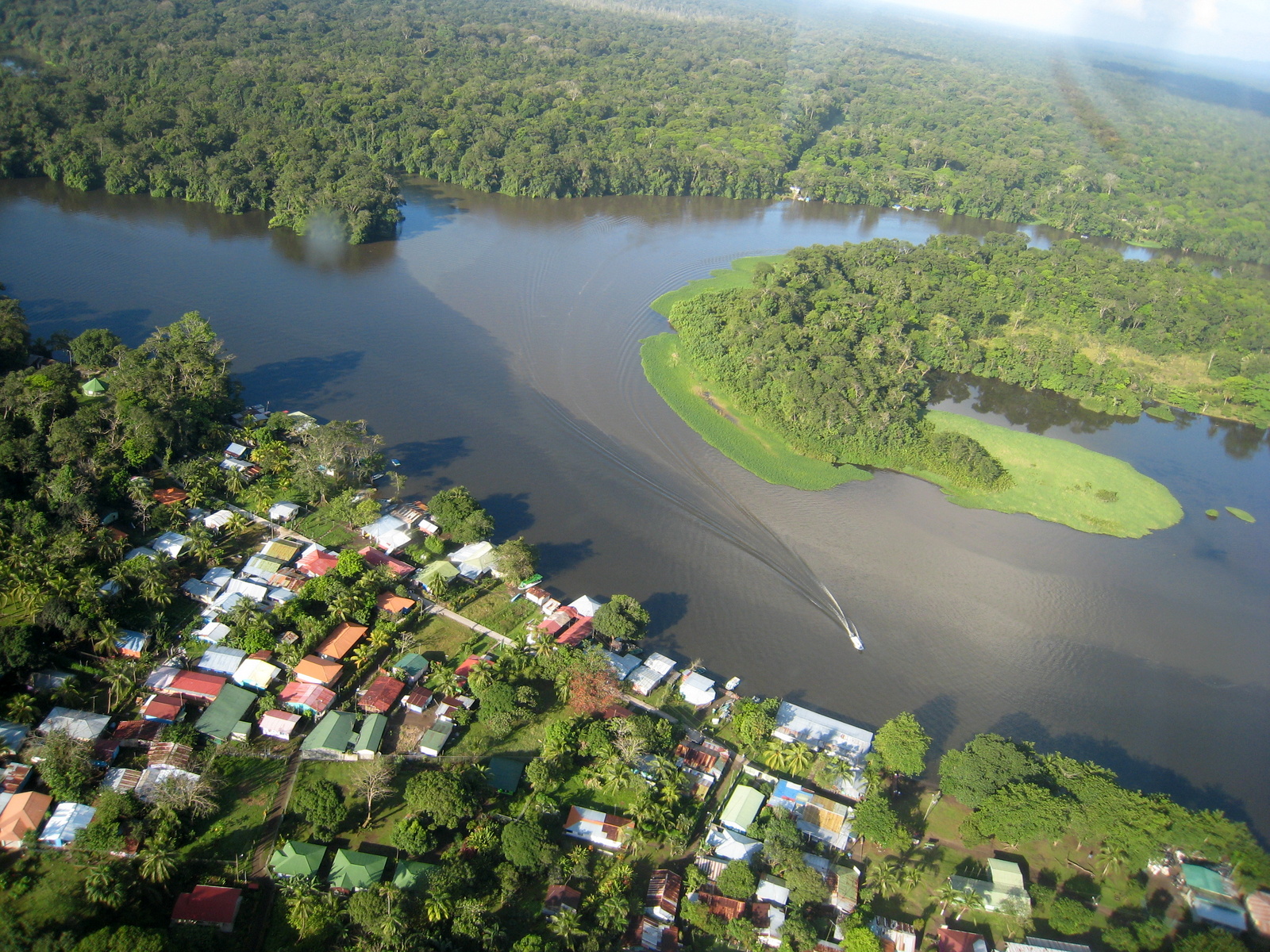
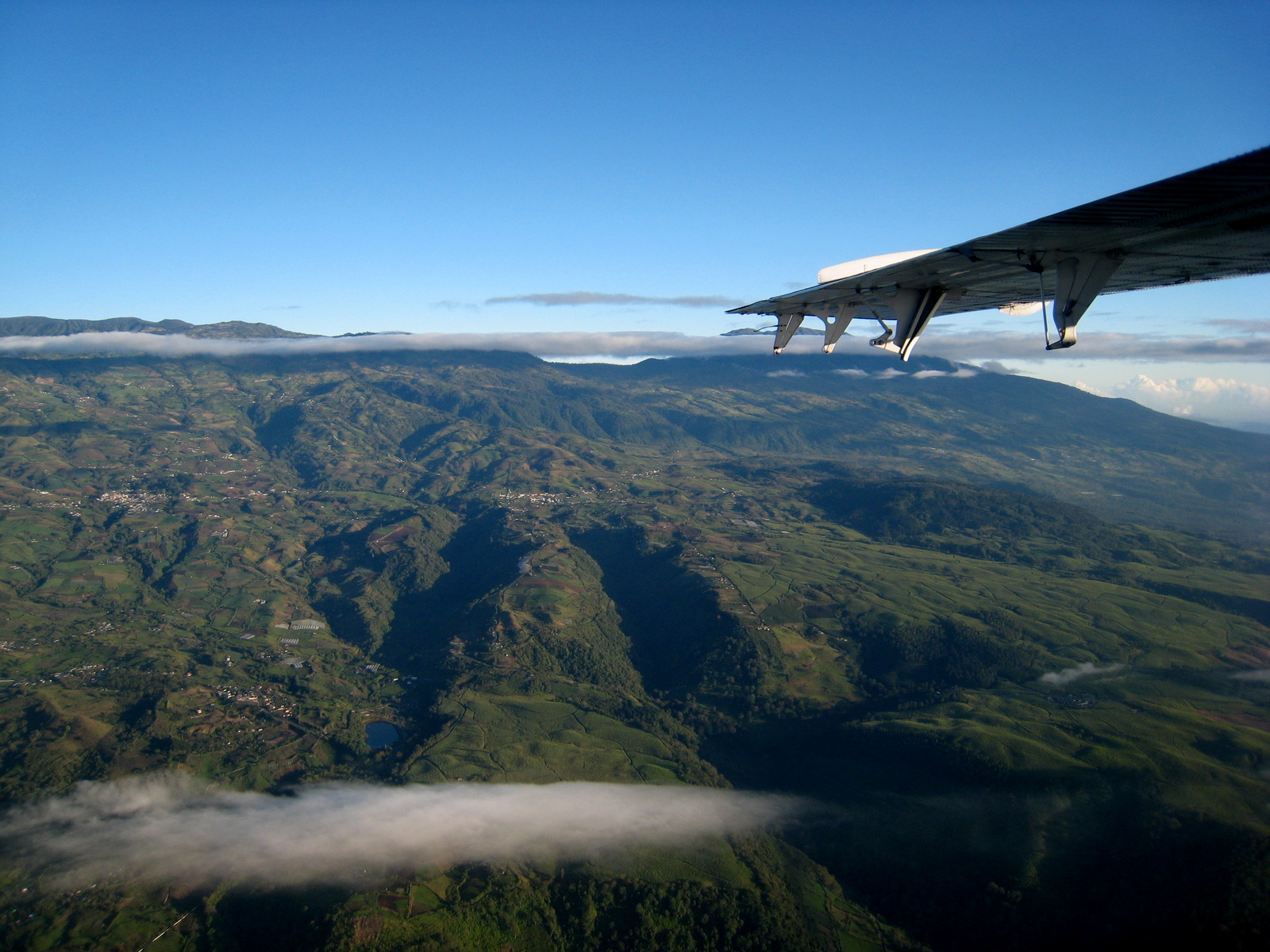
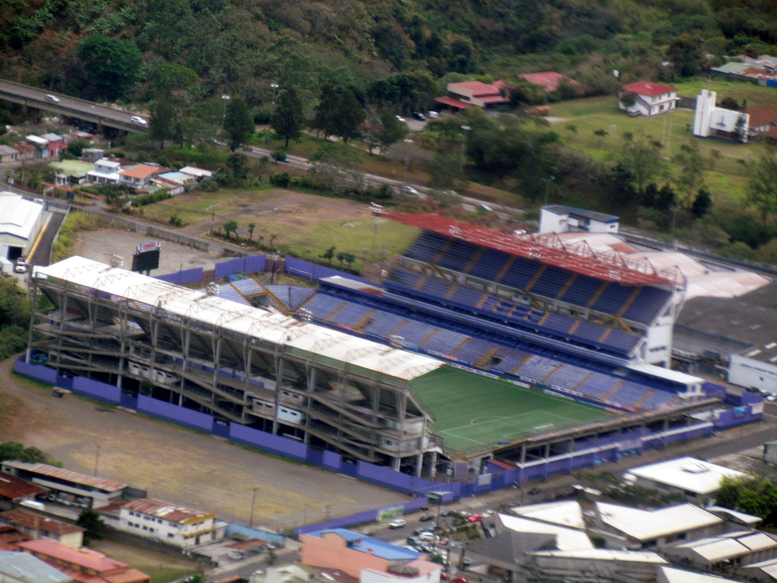
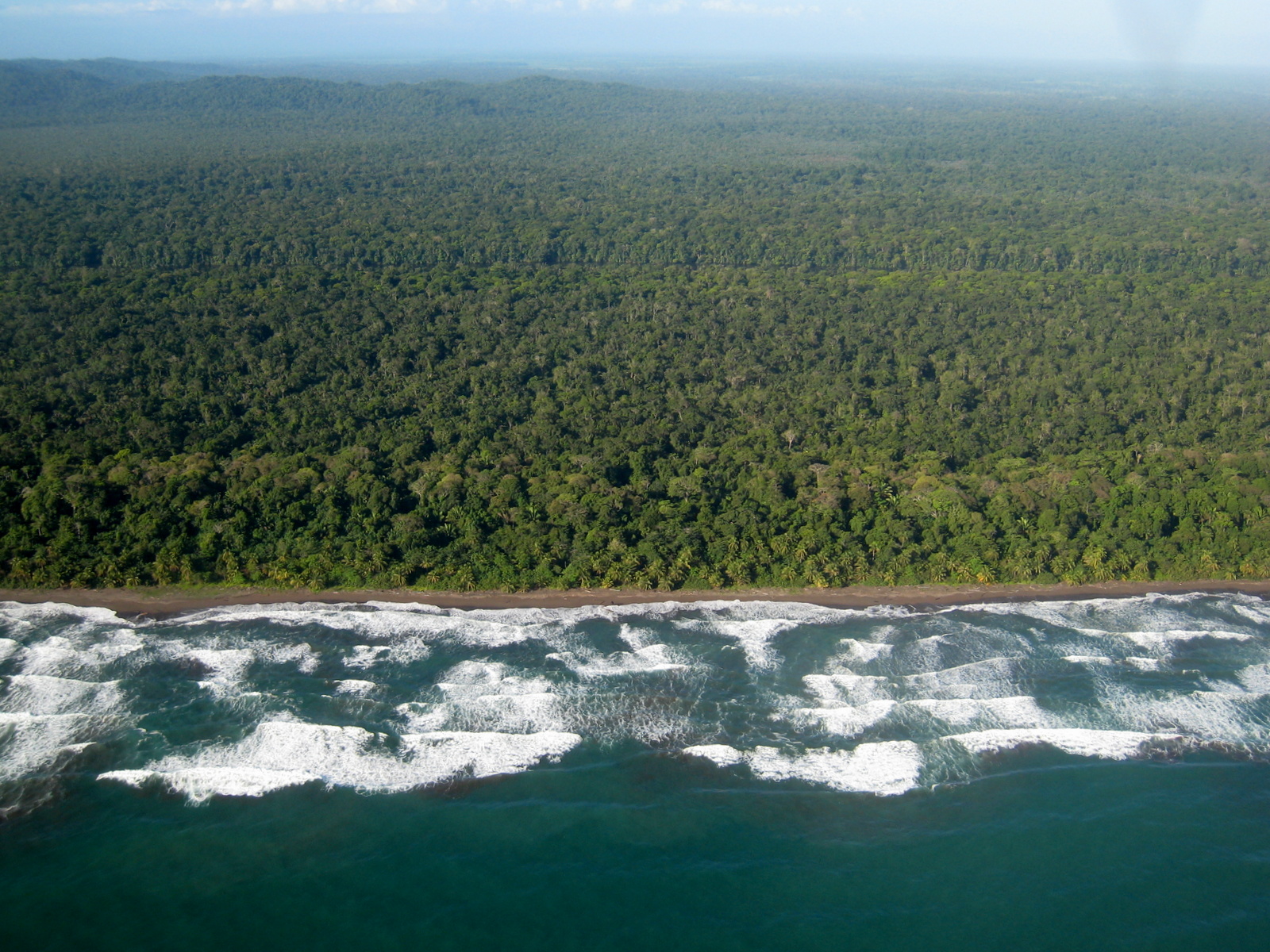
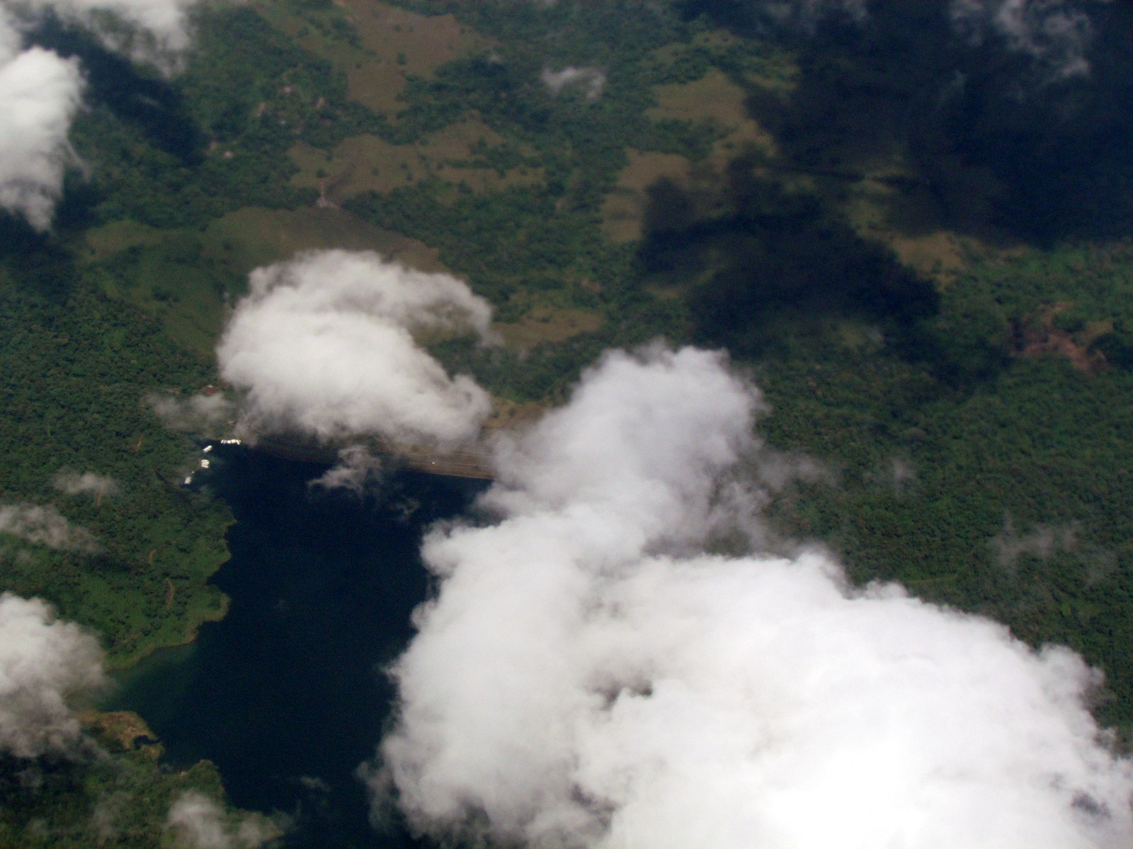
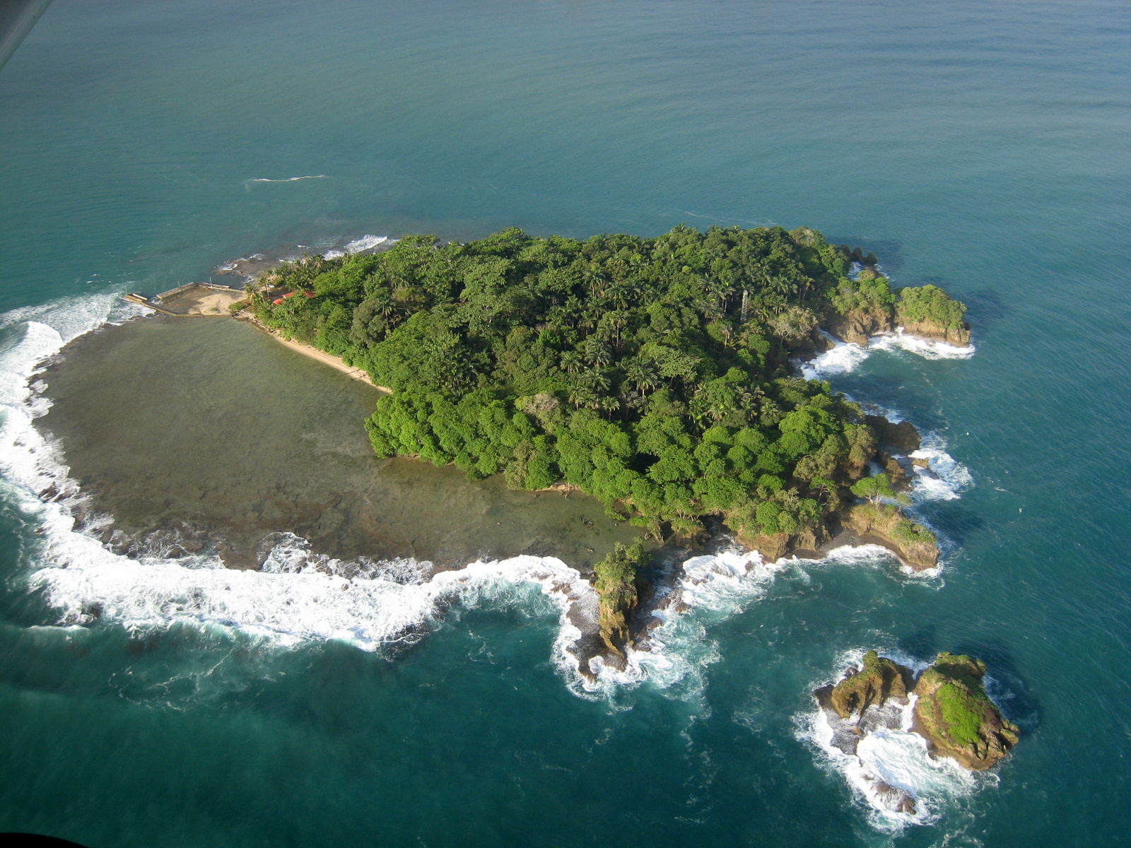
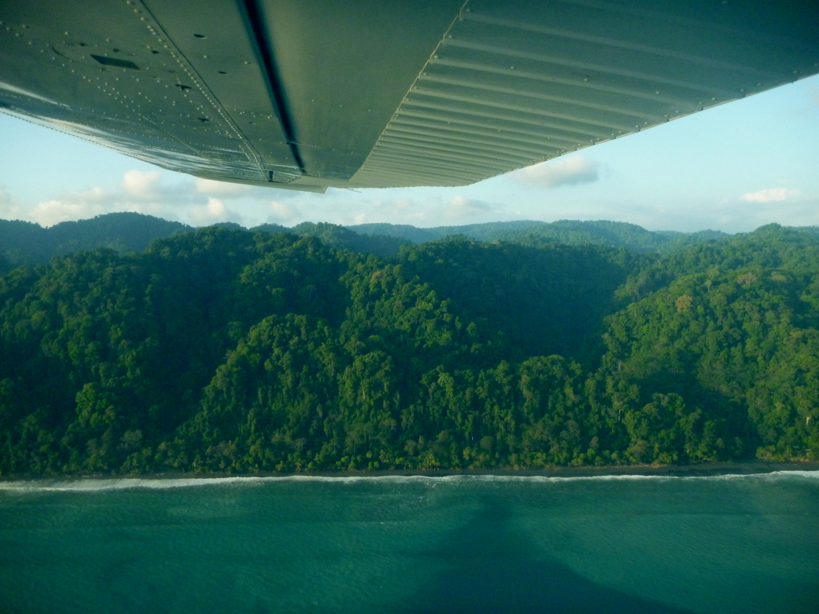
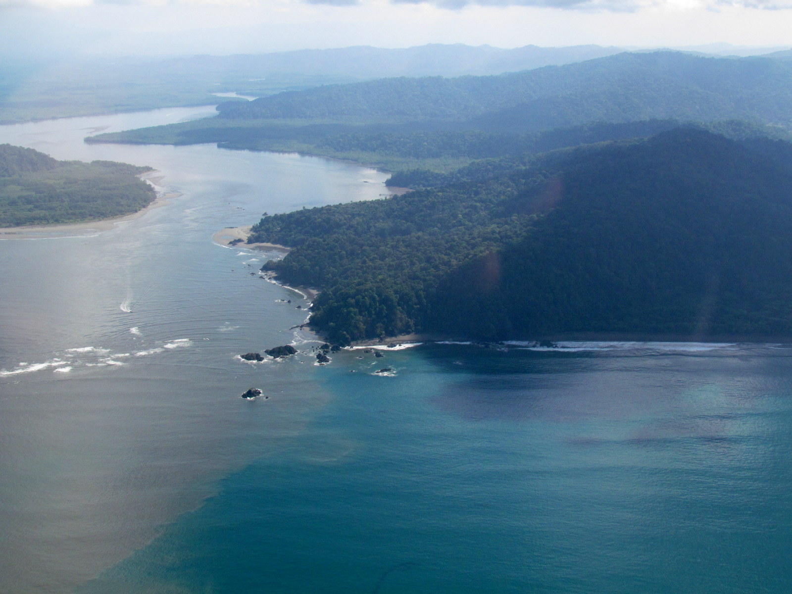
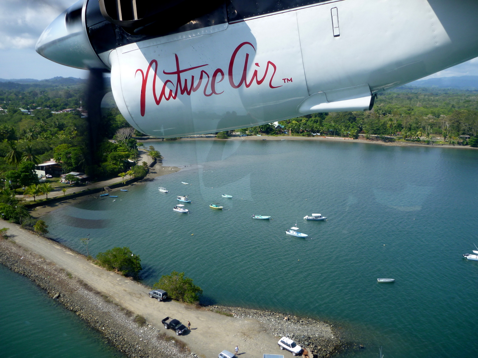
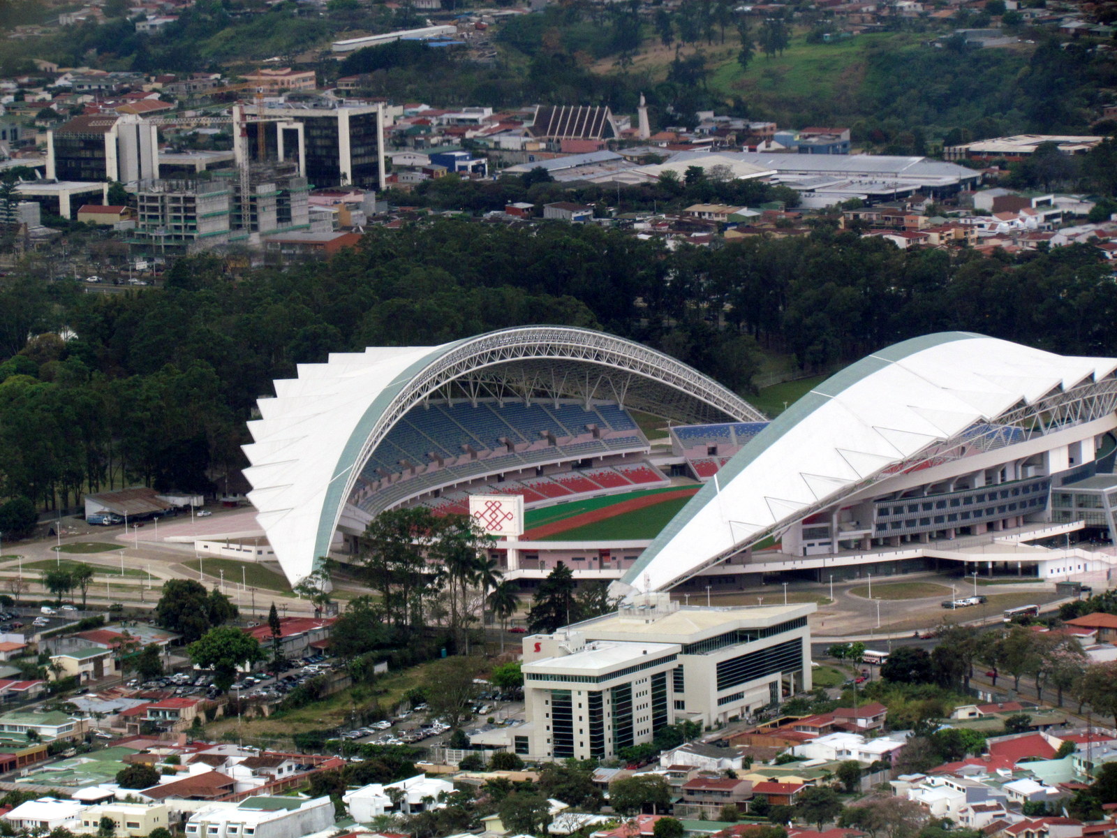
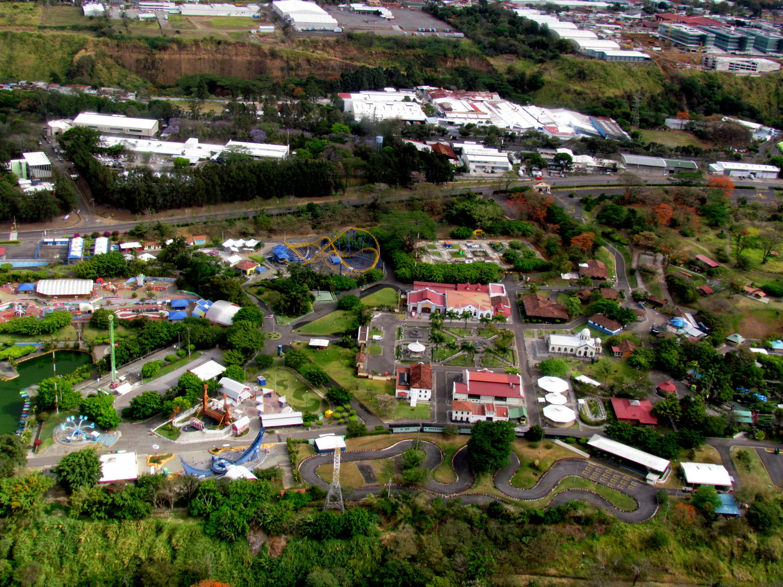
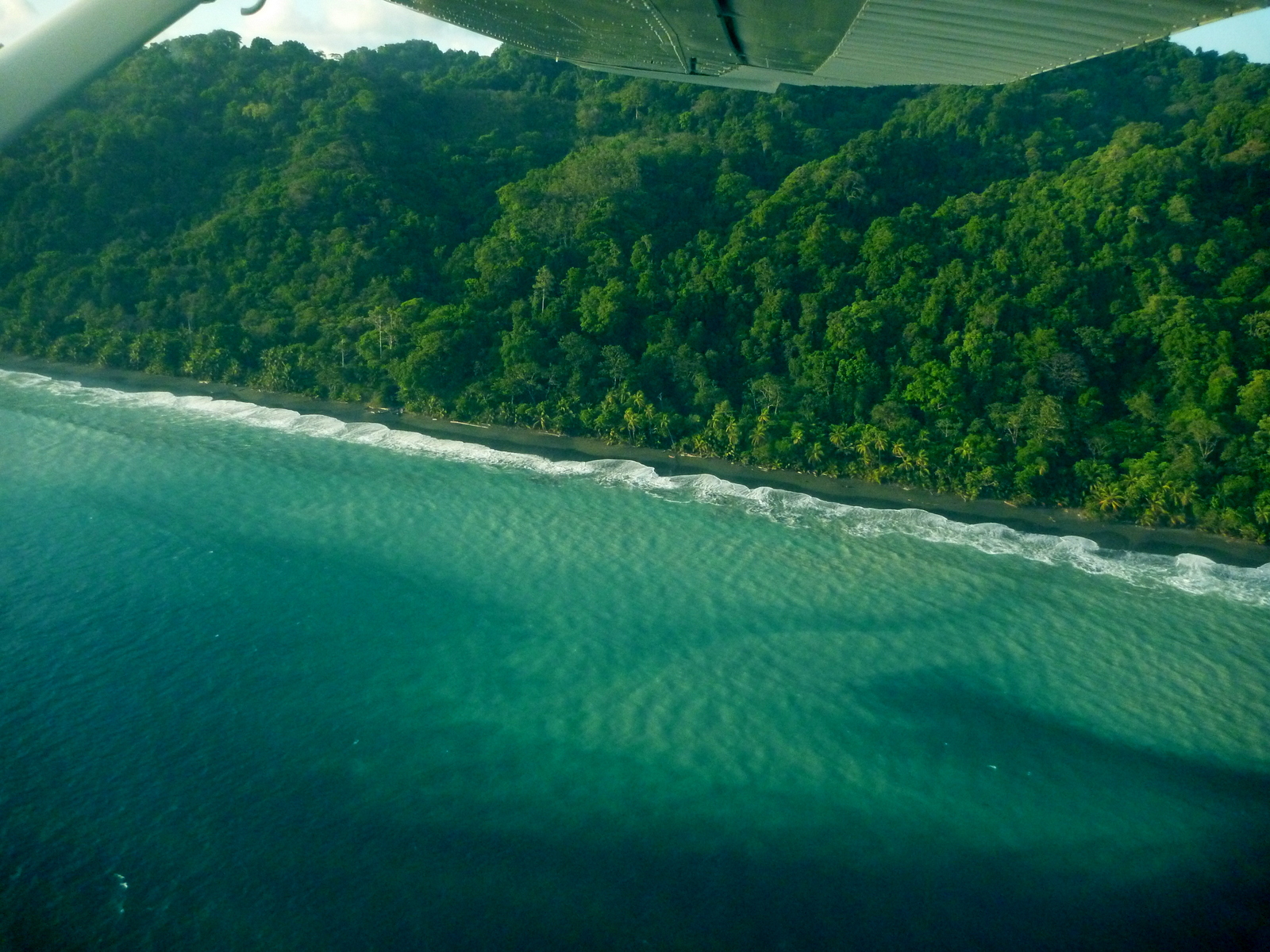
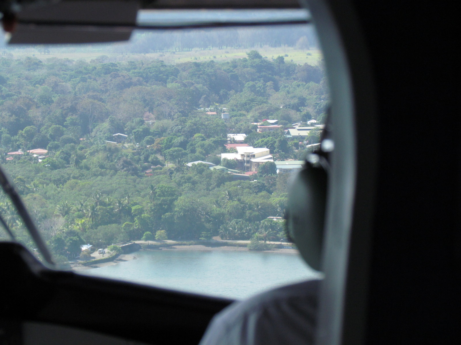
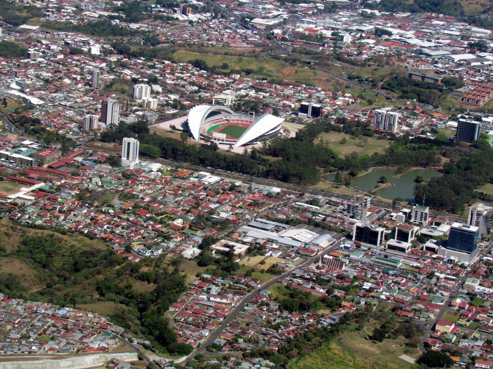
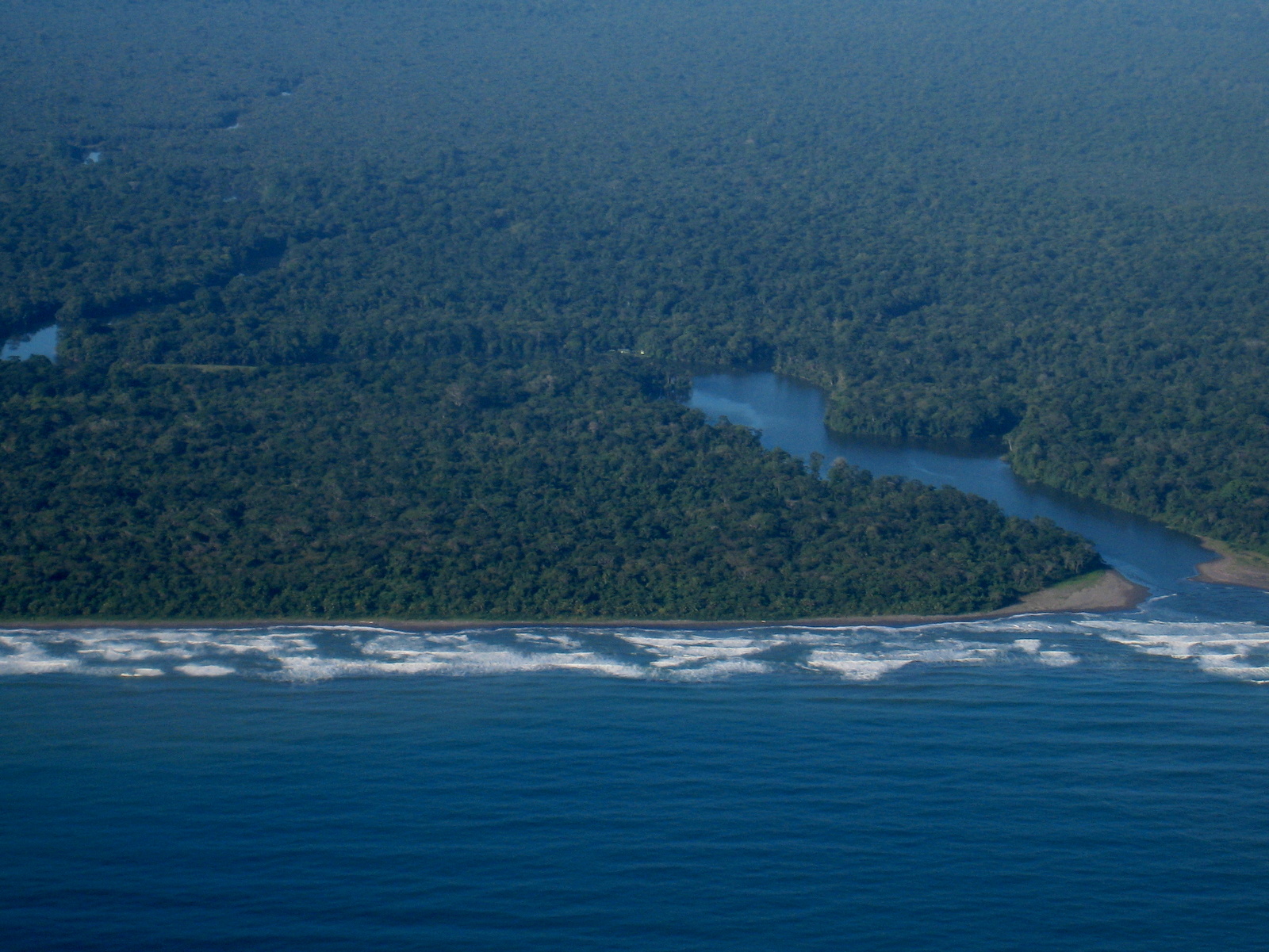
It’s a lot of fun to fly over the areas you travel to get a birds eye view.  This collection of aerial photos of Costa Rica includes some favorites like Dominical, the whale tail at Uvita, Tortuguero and Corcovado from the air.  However, there are a few places we haven’t flown over and it’s not always clear when we fly so if you have aerial photos of Manuel Antonio, Monteverde or others that we’re missing we’d be delighted if you’d share.

Click on the thumbnails for a more detailed description, location and larger images.

New Alajuelita radial
New Alajuelita radial (San Jose)
central volcanic range
Great view of the cordillera volcanica central (central volcanic range) from the air
Reconnaissance from the air is an important tool that can give a quick and accurate overview of new construction like the Alajuelita radial on the circumvalacion (39). All of the photos are geocoded with the longitude, latitude and altitude (for scaling)
Arenal Volcano from 18,000 feet. The top is covered in clouds but the lava fields are in view at the center of the frame. From a commercial jet on the way from the U.S. to SJO
We've hiked this Osa coastline from Sirena to Madrigal in Corcovado National Park and it was a thrill to see it from above on an air taxi Alfaro .
We’ve hiked this Osa coastline from Sirena to Madrigal in Corcovado National Park and it was a thrill to see it from above on an air taxi Alfaro .
Laguna Corcovado backing Sirena station seasonally floods into a lake and wetlands but shrinks to mainly the river channel as seen here in the foreground in February and March
It's hard to tell if you're not a trained botanist, but Atlantic tropical lowland wet forest like this is quite different than most of the rainforest found on the Pacific side of Costa Rica.
Caribbean canal – It’s hard to tell if you’re not a trained botanist, but Atlantic tropical lowland wet forest like this is quite different than most of the rainforest found on the Pacific side of Costa Rica.
Parque de Diversiones - Amusement park, Pavas from the air
Parque de Diversiones – Amusement park, Pavas (San Jose) from the air
The new National Stadium in Sabana. Seating for 30,000 staff of 2,100...parking for 220...hmmmm...
The new National Stadium in Sabana. Seating for 30,000 staff of 2,100…parking for 220…hmmmm…
Parque Sabana and new national stadium
Parque Sabana and new national stadium (San Jose)
Punta Dominicalito
Punta Dominicalito – one of the best places to watch a Pacific sunset if you’re on the ground!
Corcovado beach
Corcovado beach – The lighter colored water near the shore is from the beach sand being churned up by wave action
Whale tail and the long beaches of Uvita, Marino Ballena National Park
Lake Arenal Dam from 18,000 feet on a commercial jet on the way from the U.S. to SJO
Hatillos cemetery
Hatillos cemetery (San Jose)
The river mouth doesn't look too daunting from the air but especially at high tide many of the rivers in Corcovado can be obstacles for hikers
The river mouth doesn’t look too daunting from the air but especially at high tide many of the rivers in Corcovado can be obstacles for hikers
Tortuguero Village from the air. Park headquarters surround the green roofed kiosk (far left center) on the near shore where the laguna (darker water coming in from the left) intersects the oxbow of the river.
Clouds flowing over the mountain ridges
Airplane on the mountainside near Dominical being converted into a restaurant
Airplane on the mountainside near Dominical being converted into a restaurant where you can now stop in for snack on your way to San Isidro el General.
Whale tail at Uvita
Whale tail at Uvita
The mountains we crossed on the Sendero de Oro trail
The mountains we crossed on the Sendero de Oro trail out the window of the bush plane that picked us up to take us to Sirena and on to Drake Bay
The muddy brown waters of the Sierpe river empty into the Bahia de Coronado. Isla Violin is on the left of the opening, there is a small boat in the middle of the channel on the left of the opening is playa Blanca then Punta Sierpe at the center and Playa Ganado stretching to the right. Sierpe Terraba wetlands in the background protects all five species of mangroves found in Costa Rica (black, white, red, tea and buttonwood).
Puerto Jimenez
Puerto Jimenez – gateway to the Osa
Cruise ship entering Puerto Limon (from the air)
Cruise ship
Near the middle of Playa Tortuguero with Cerro Morazon and Lomas del Sierpe in the background. The canal is barely visible as a horizontal band about half way between the horizon and the beach
Multiplaza Escazu
Multiplaza Escazu
Cruise ship docked at Puerto Limon, central Caribbean coast (from the air)
Cruise ship docked at Puerto Limon, central Caribbean coast (flight from Limon to Tortuguero)
Isla Uvita off the coast from Limon on the central Caribbean coast (nowhere near Uvita beach on the other side of the country)
Anyone know this one? – Isla Uvita off the coast from Limon on the central Caribbean coast (nowhere near Uvita beach on the other side of the country)
Approach to the Puerto Jimenez air strip
Sue in the Nature air twin engine to Limon
Boca del Parismina just south of Tortuguero National Park Ranger Station at the south end (Joluva)
Saprissa Stadium
Saprissa Stadium
Boca Sierpe - Isla Violin is on the left of the opening, there is a small boat in the middle of the channel on the left of the opening is playa Blanca.
Boca Sierpe – Isla Violin is on the left of the opening, there is a small boat in the middle of the channel on the left of the opening is playa Blanca.
New National Stadium from the air as we departed Pavas for Puerto Jimenez on the Osa Peninsula
New National Stadium from the air as we departed Pavas
Collectivo water taxi zipping along one of the Caribbean coastal canals north of Moín
Toll booth near CIMA
Toll booth near CIMA (Escazu)
Terraba Sierpe mangrove estuary from the air
Terraba Sierpe – We rode our bicycles from Palmar down to the little village of Sierpe where we hired a boat and guide. The guide was a Tico, but boat owner was a German expat who INSISTED we’d need a very full day to see everything. I knew he was simply trying to get a full day of work for his boat and guide so I gave in figuring as long as we paid in advance we could get the guide to head back anytime we wanted. The owner must have told the guide to keep us out for at least eight hours no matter what so we couldn’t ask for a refund, because every time we asked to return to the dock the guide said ‘sure but there’s one more fantastic spot we have to hit first. We nearly circumnavigated Violin, stopped at incredible little deserted beaches and saw some amazing stuff but eight hours under the scorching sun in an open boat is just too much no matter how good your sunscreen. We returned sunburned, exhausted and dehydrated and had to stay an extra day to recover before getting back on our bikes.
Rio Savegre from the air. This is further downstream from the waterfall hike
Rio Savegre from the air. This is further downstream from the waterfall hike at San Gerardo de Dota
Ryan (in the co-pilot seat) getting the thumbs up from Edwin even though he barely knows the difference between an egg yolk and a flying yoke. Air taxi Alfa Romeo
Ryan can’t fly – Ryan (in the co-pilot seat) getting the thumbs up from Edwin even though he barely knows the difference between an egg yolk and a flying yoke. Air taxi Alfa Romeo

Ray & Sue

Cost · ToDo · Plan·Costa Rica Guide logo animated·Top10 · Best Time · Contact


toll free Costa Rica travel desk!
1-866-816-0197

CONTACT US

Photos
  • Tortuguero Beach – National Park & Sea Turtles Nesting
  • Tortuguero Village & Canals Photos
  • Guayabo National Monument
  • San Gerardo de Dota National Park
  • Karen Mogensen Nature Reserve
  • Lower Savegre & Rafiki
  • Savegre National Park
  • Pacuare River Rafting Overnight
  • Portalón Estero Rey National Wildlife Refuge
  • Hacienda Barú National Wildlife Refuge Photos
  • Rainmaker Biological Reserve Photos
  • Hills of Portalón Wildlife Refuge
  • Funny, Quirky, Weird – Costa Rica Humor
  • Bahía Junquillal National Wildlife Refuge Photos
  • Playa Hermosa-Punta Mala National Wildlife Refuge Photos
  • La Cangreja National Park Photos
  • Pacuare Gilligan’s Island
  • Rincón de la Vieja – Hacienda Guachipelín Photos
  • Quirky, Weird, Funny – Costa Rica Humor
  • Lankester Botanical Gardens Photos


Costa Rica Guide on facebook
Costa Rica Guide on Facebook