1999 6/9-6/11
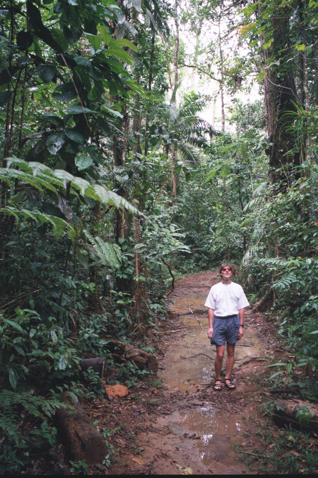
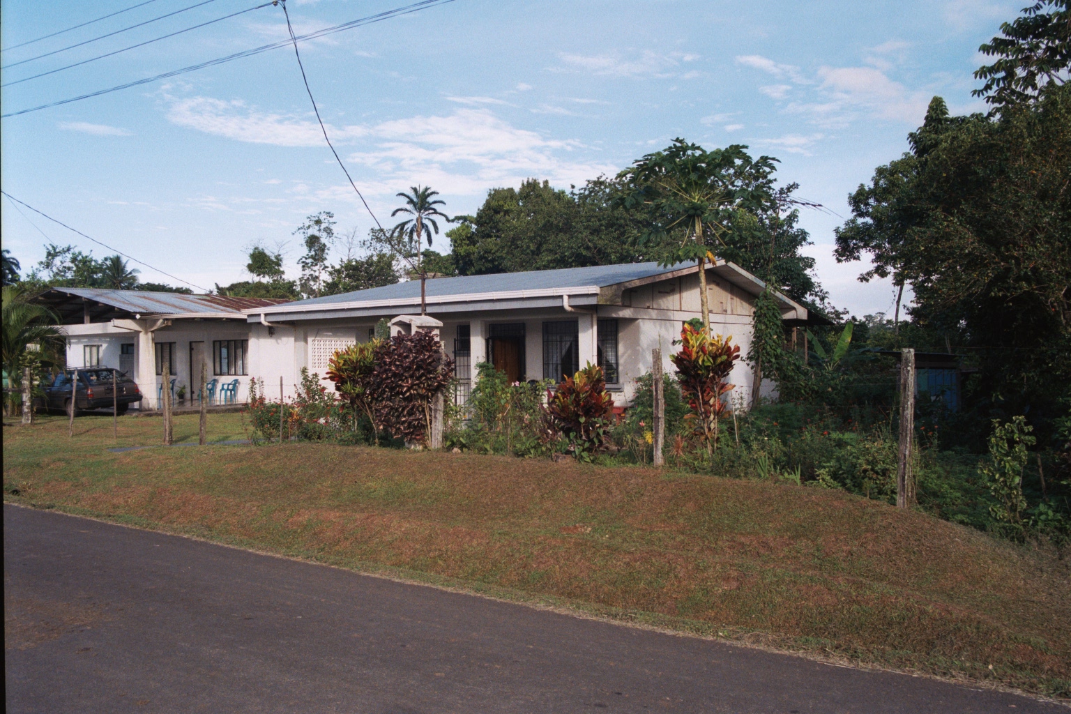
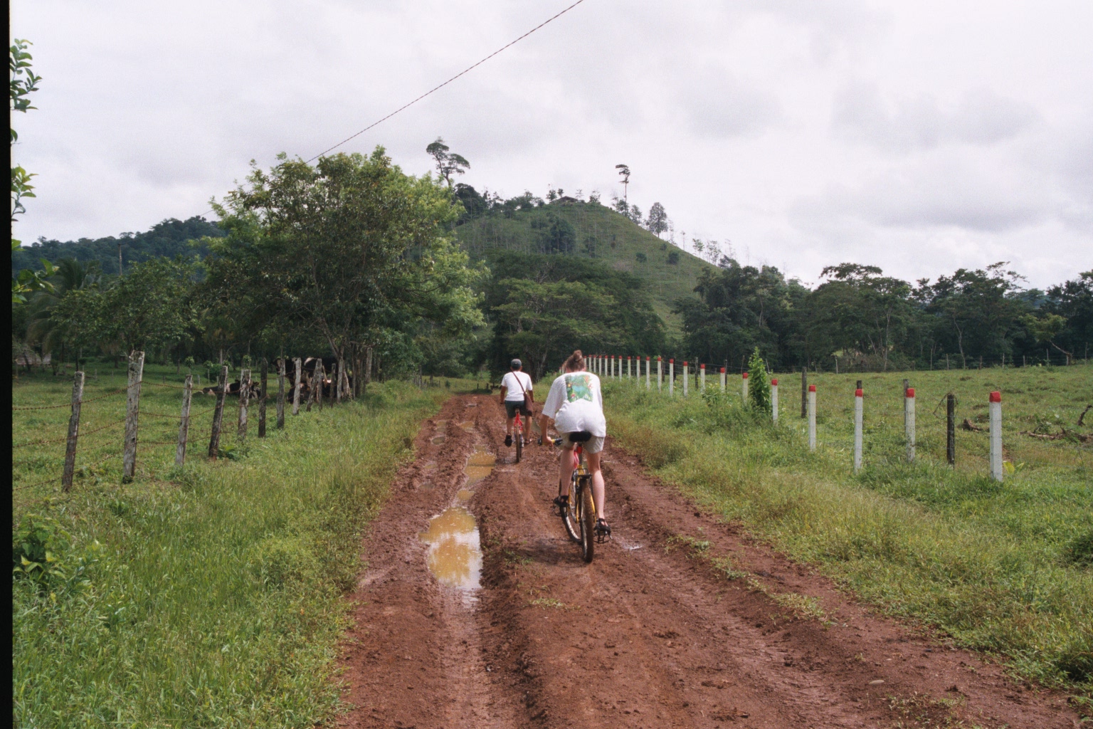
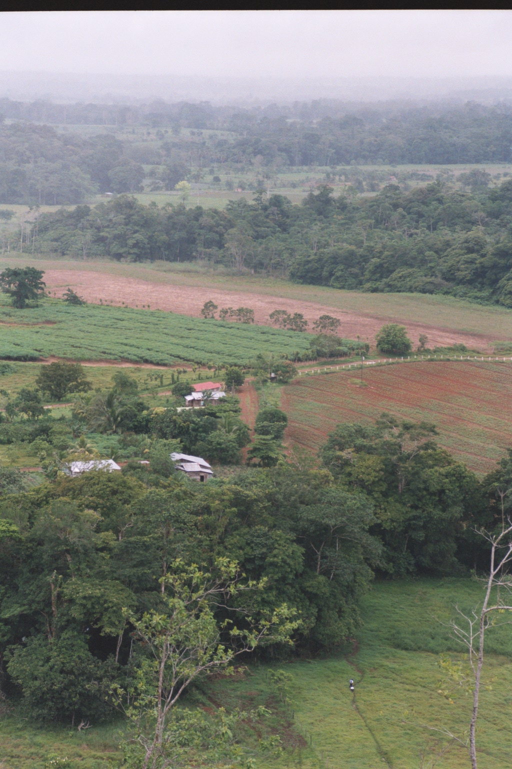
San Carlos (Ciudad Quesada) -> Vera Cruz -> Laguna de Lagarto/Boca Tapada -> Vera Cruz -> Cerro Blanco -Vera Cruz
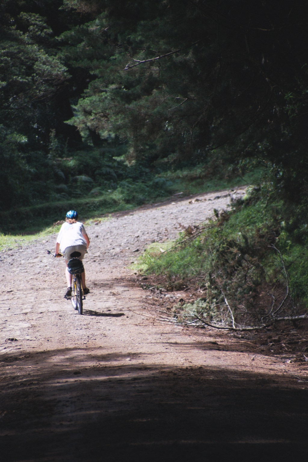
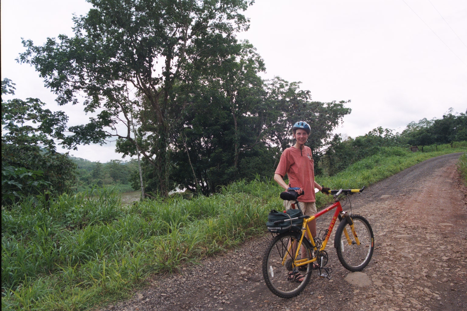
155 km and approximately 1,200 meters of elevation gain by bike
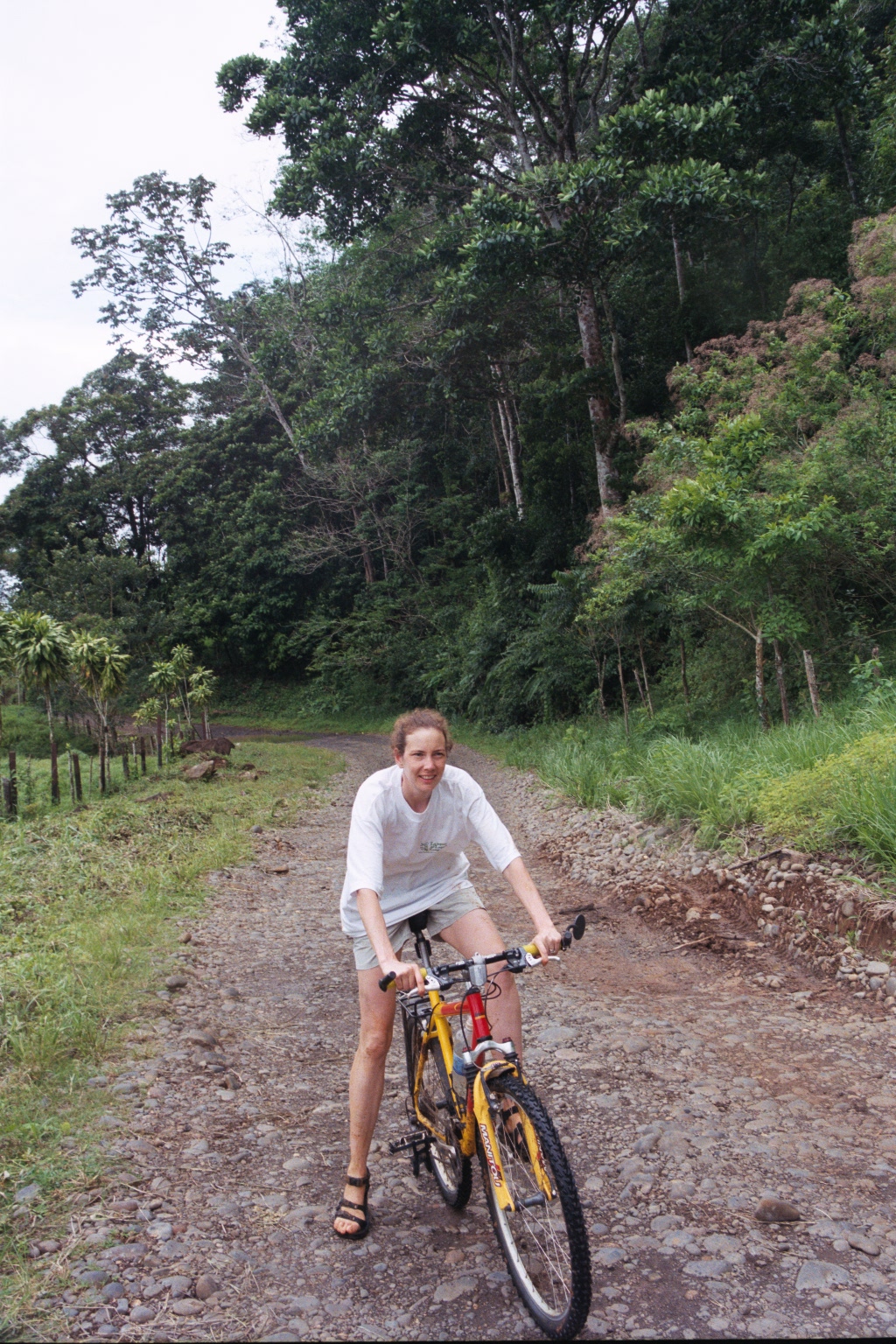
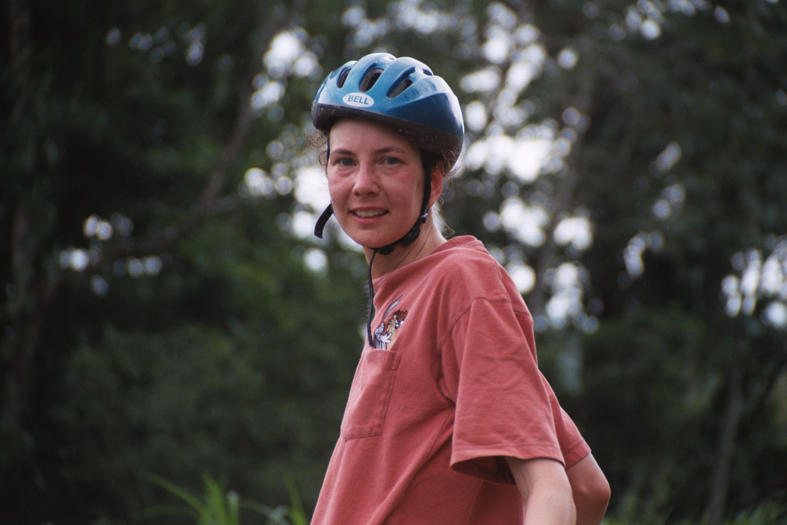
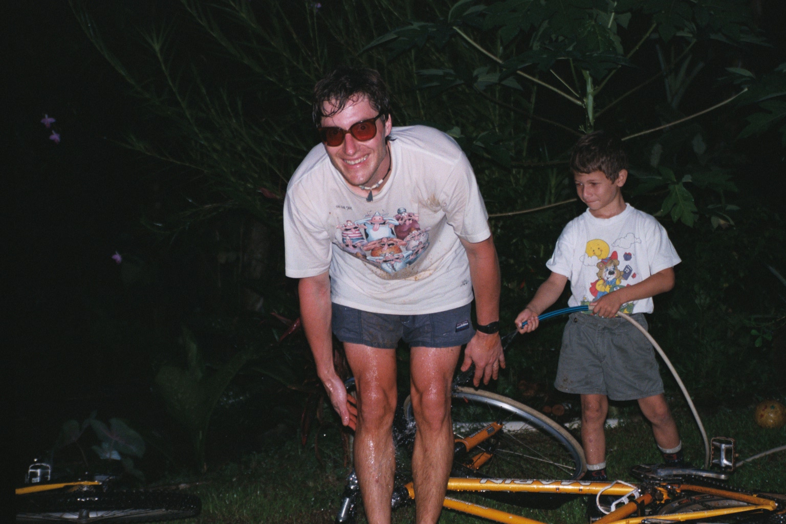
This was a warm-up, and because we were doing out-and-back rides, or meeting friends at the end of our rides we didn’t have to carry panniers.
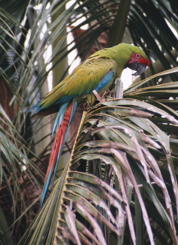
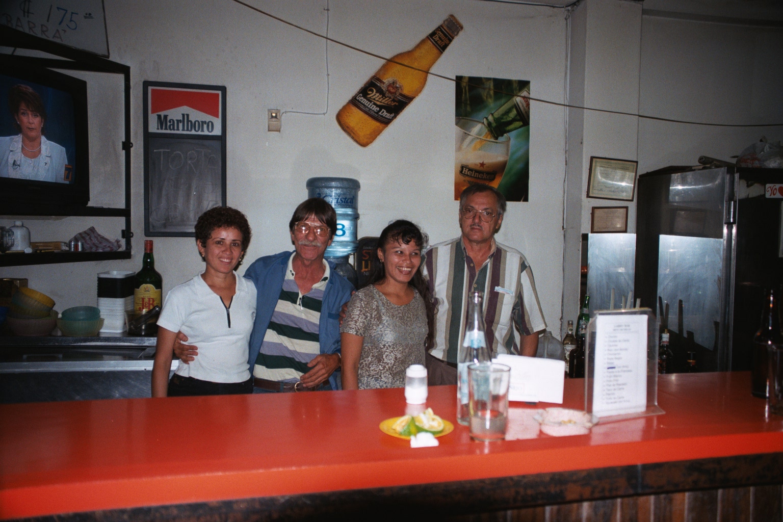
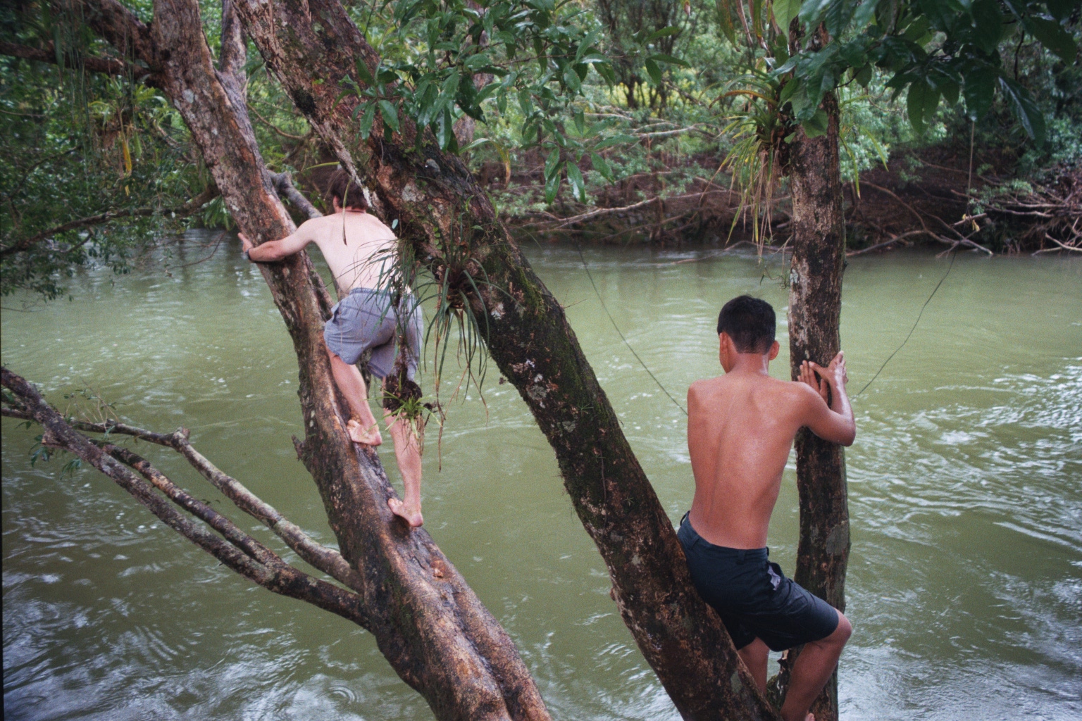
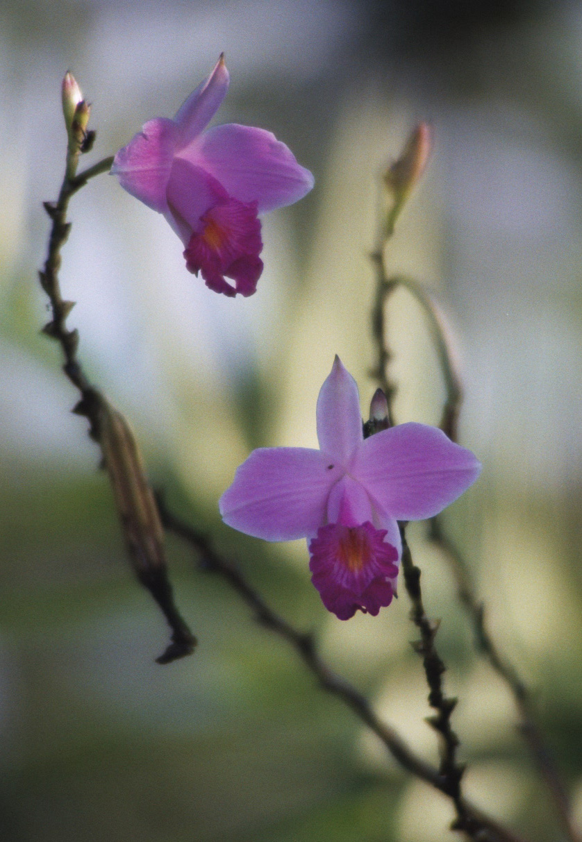
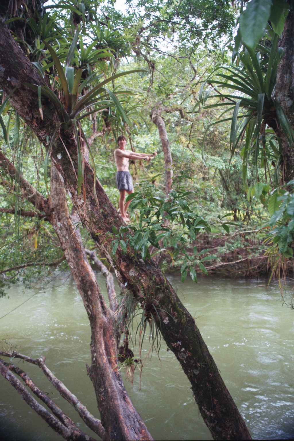
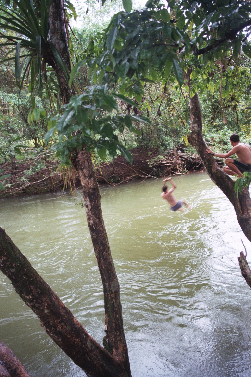
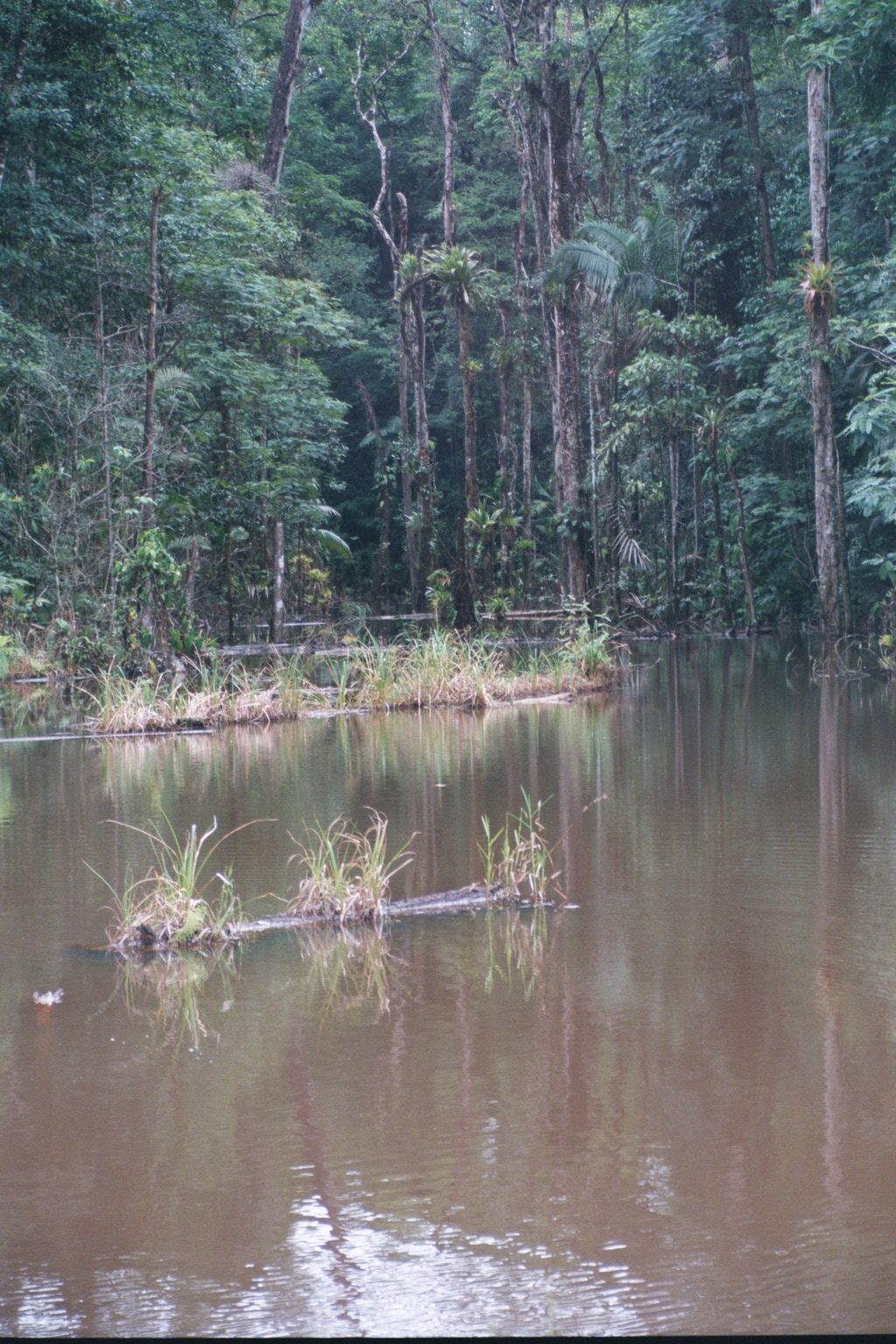
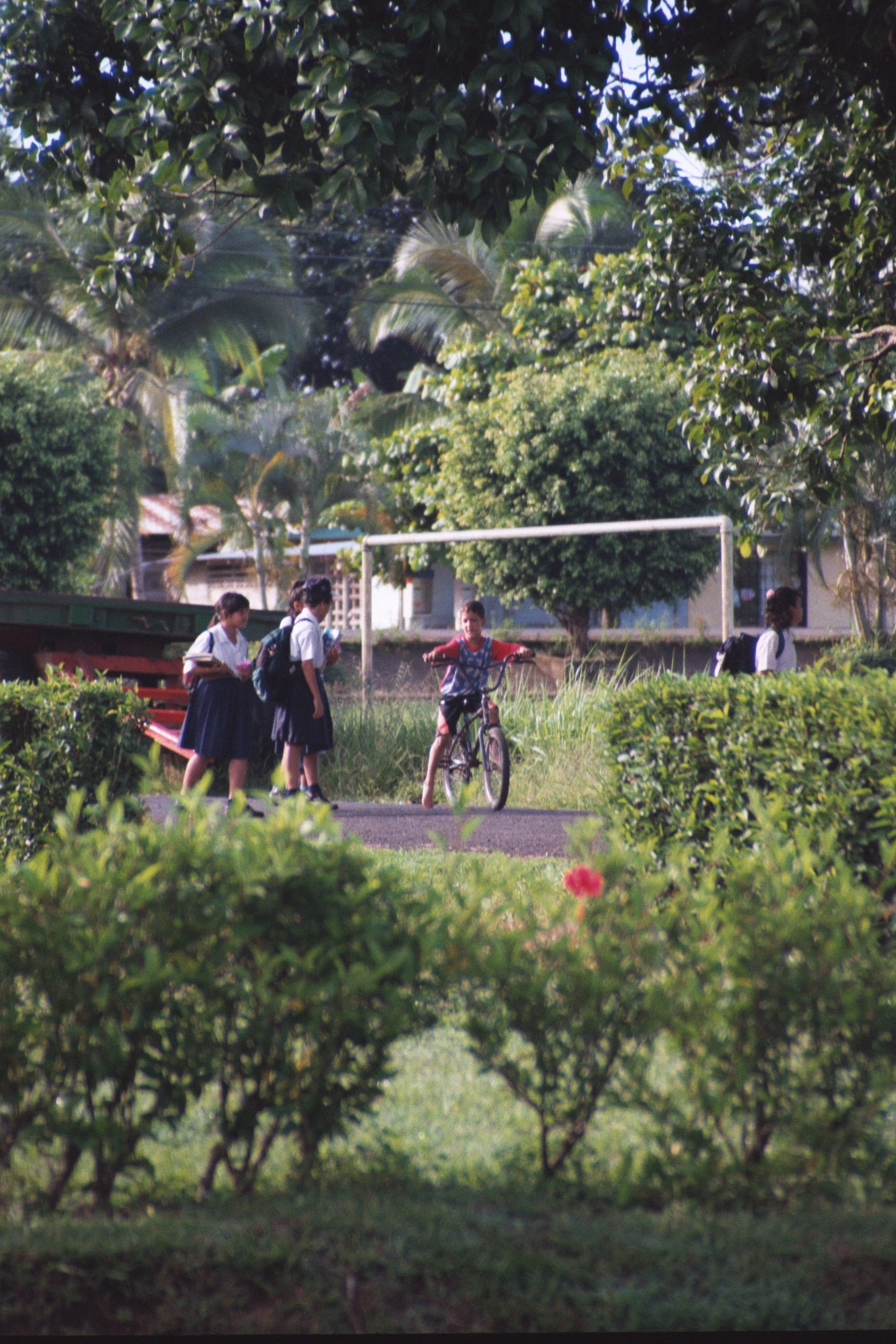
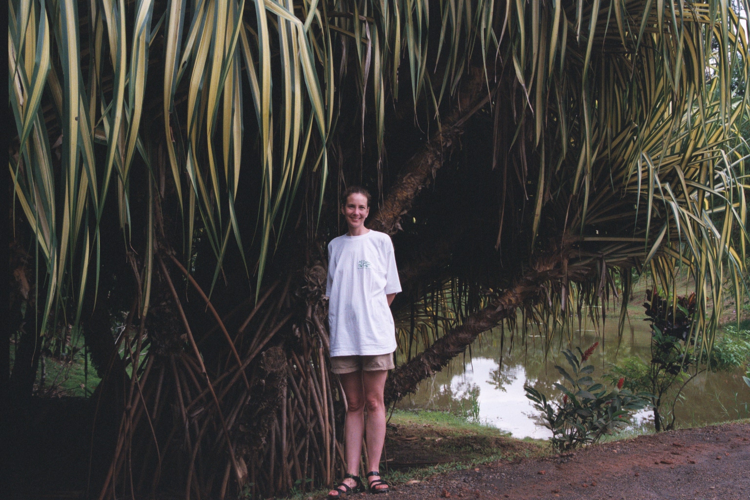
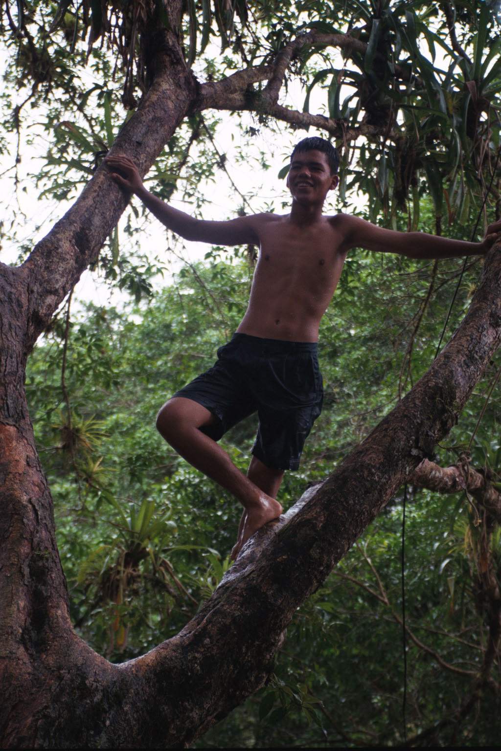
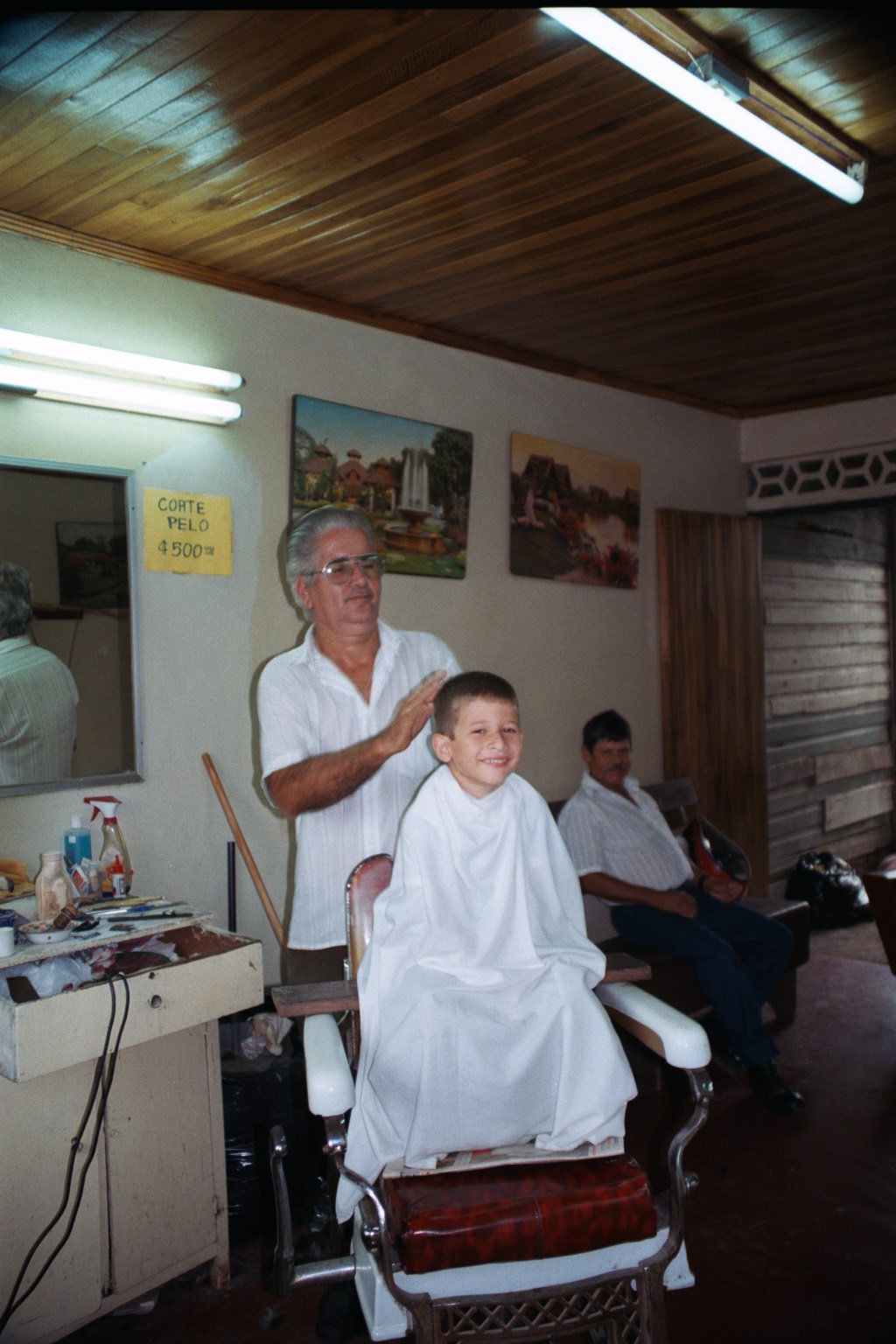
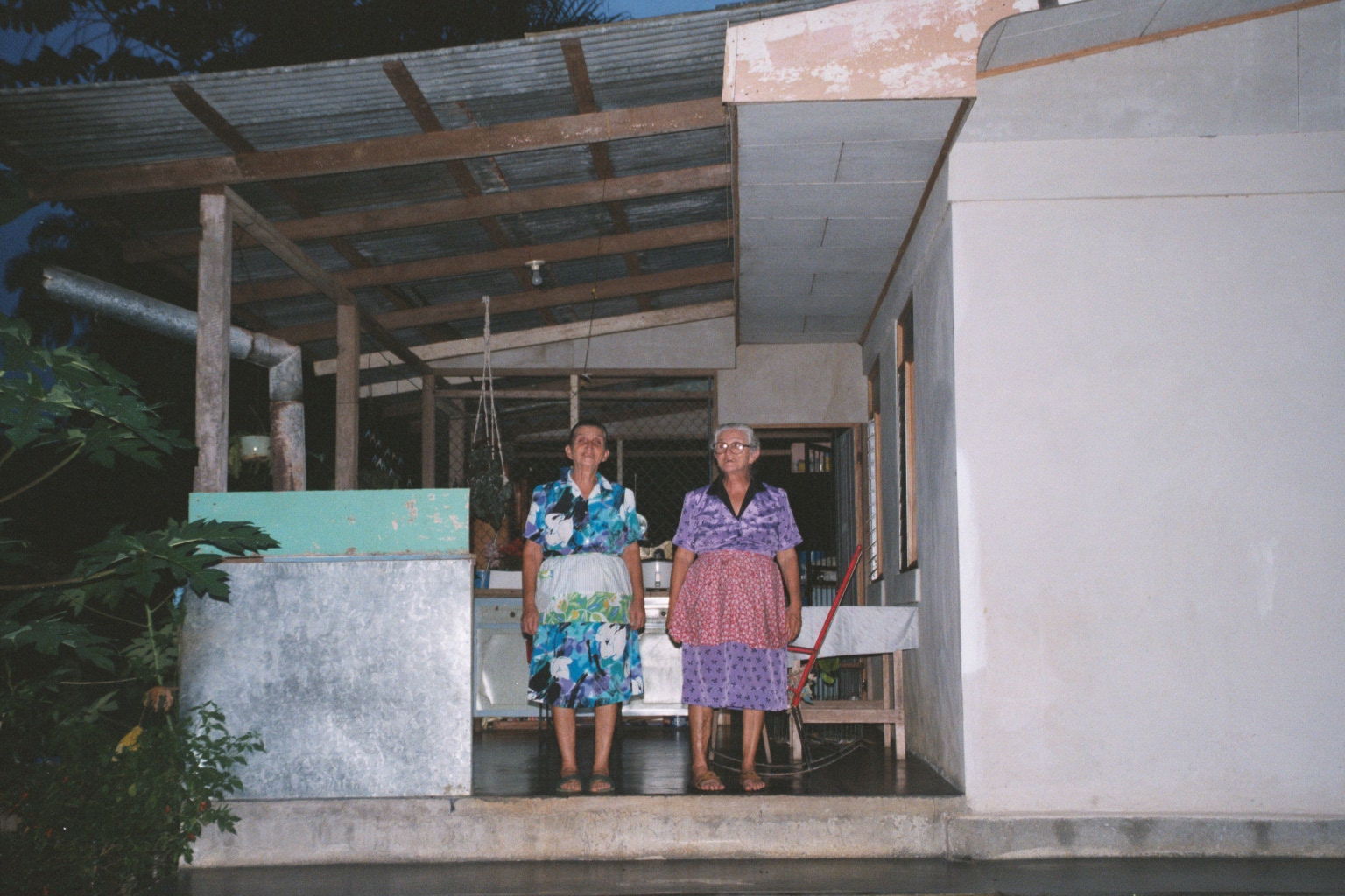
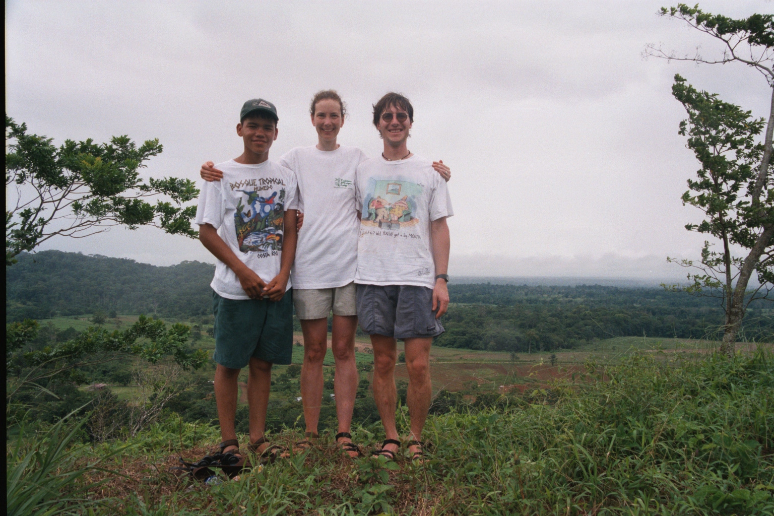
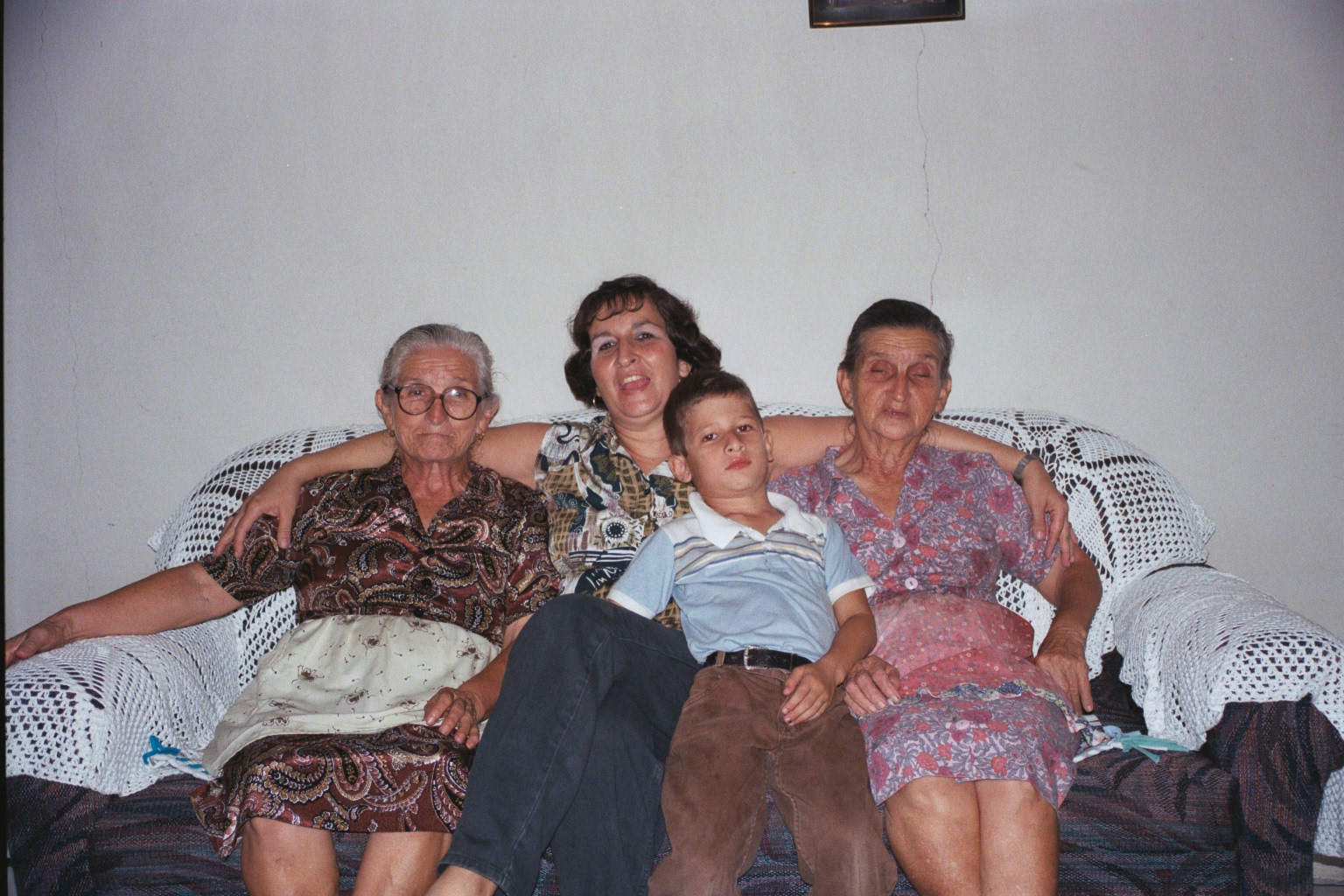
Some of the highlights were the birds at Laguna de Lagarto and the whole region around Boca Tapada near the Nicaraguan Border, the new friends we made in Vera Cruz and the rope swing on the Rio Toro.